Mori Atlas logo
Nearby park discovery

Mapping the geographic distribution of protected terrain in the Sudetes borderland

Regional Protected Landscapes and National Parks Near Stołowe Mountains National Park

Discover protected landscapes and national parks located within the geographic sphere of Stołowe Mountains National Park. This regional overview provides a map-based perspective on the distribution of natural terrain, sandstone features, and protected mountainous areas spanning the border region of the Lower Silesian Voivodeship.

Illustration of large sandstone rock formations surrounded by green forest trees under a sky with light clouds

Poland's table-top sandstone mountains with rock labyrinths and rare peat bogs

Stołowe Mountains National Park

Stołowe Mountains National Park protects the Polish section of the Stołowe Mountains, a distinctive range in the southwestern Sudetes region along the Czech border. The park's defining characteristic is its table-like sandstone formations—flat-topped rocky bastions rising above erosion-sculpted plateaus, created over tens of millions of years from Cretaceous sedimentary deposits. Established in 1993, the park covers approximately 63 square kilometers of terrain that includes the highest peaks of the range, Szczeliniec Wielki and Skalniak, along with extensive sandstone rock cities, labyrinths, and corridors. The landscape also encompasses rare peat bogs, including the notable Wielkie Torfowisko Batorowskie, one of the few raised peat bogs in Poland. The park is located in Kłodzko County within the Lower Silesian Voivodeship, at the borderland of Silesia, Bohemia, and Moravia—a region with a rich historical legacy dating back to the Hussite wars of the 14th and 15th centuries.

Location
Poland
Park type
National park
Established
1993
Area
63.4 km²
Highest point
919 m
Stołowe Mountains National Park Protected Landscape
Regional park map

See the ranked park cluster in its geographic setting

Nearby parks around Stołowe Mountains National Park

This regional map shows the same 18 nearby parks ranked below around Stołowe Mountains National Park. Select a ranked marker to highlight that park’s boundary where boundary data is available.
Reference park: Stołowe Mountains National ParkRanked nearby parkSelected boundary: Stołowe Mountains National Park18 nearby parks shown
18 nearby parks

Distance-ranked conservation areas and regional park geography for comparative analysis

Parks and protected areas geographically near Stołowe Mountains National Park

Examine the ranked collection of protected areas situated within geographic proximity to Stołowe Mountains National Park based on direct spatial measurements. Structured boundary data and regional environmental characteristics provide reliable baseline metrics for comparing surrounding protected landscapes.
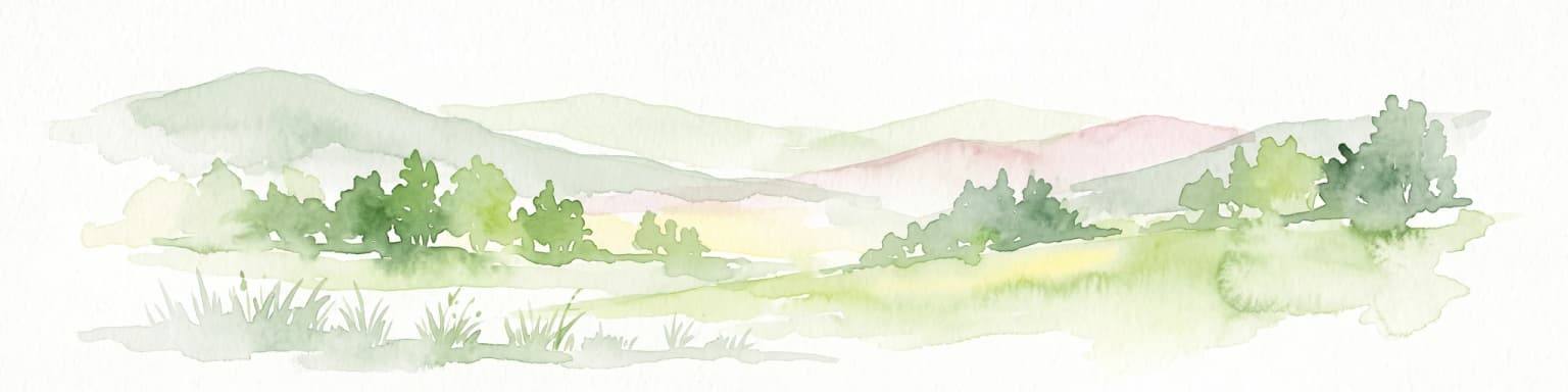
Watercolor painting of a green meadow, marsh, and soft rolling hills in the background on a light background.
Natural monumentKrálovéhradecký kraj
About 12 km away#1 closest

East

Velká louka Natural Monument: Geographic Profile of an Orlické hory Wetland Habitat

Protected peat meadow terrain in the Královéhradecký kraj region.

Velká louka represents a focused protected landscape in the Czech Republic, known for its rare botanical composition and wetland-dependent amphibian pools. The site highlights the importance of small-scale conservation efforts within the mountainous Orlické hory region, offering a clear example of specialized meadow ecology in a submontane climate.

Area
0.023 km²
Established
1982
IUCN
IV
Relief
Upland
A minimalist, flat-design vector illustration showing a tall waterfall flowing down a rocky canyon flanked by pine trees and layers of cliffs.
Protected landscapeLower Silesian Voivodeship
17 km away#2 closest

North

Park Krajobrazowy Sudetów Wałbrzyskich: Protected Mountain Landscape Map

Geographic overview of forested ridges and rock formations

Gain insight into the topography of Park Krajobrazowy Sudetów Wałbrzyskich, where elevations reach 936 meters. This atlas entry details the forested Central Sudetes landscape, highlighting protected geological monuments like Małpia Skała and the unique hydrology of the Rybna river capture.

Area
64.93 km²
Established
1998
Relief
Mountain
Climate
Temperate
A stylized digital illustration showing a panoramic view of rolling green mountains, coniferous forests, and a sunlit valley under a hazy sky.
Protected landscapeDolnośląskie
24 km away#3 closest

East

Śnieżnicki Park Krajobrazowy: Protected Landscape and Mountain Geography Atlas

Eastern Sudetes protected area in Dolnoslaskie, Poland

Located in the Dolnoslaskie region, Śnieżnicki Park Krajobrazowy protects a striking mosaic of primeval forest and varied mountain relief. This entry maps its core components, from the high peak of Śnieżnik to the intricate karst landforms and deep river valleys that define its regional geographic character.

Area
288 km²
Established
1981
Relief
Mountain
Climate
Alpine
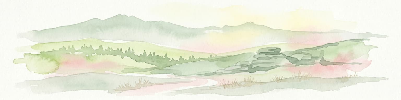
Watercolor painting showing green forests, a valley, and distant mountains under a soft sky
National parkLiberec Region
30 km away#4 closest

Northwest

Krkonoše National Park

Discover glacial landforms and unique ecosystems in the Giant Mountains.

Krkonoše National Park, in Liberec Region, Czech Republic. Landscapes: mountains, valleys, and forests.

Area
363.52 km²
Established
1963
IUCN
II
Visitors
12.1M annual
Natural monumentKrálovéhradecký kraj
33 km away#5 closest

West

Vražba Natural Monument: Botanical Geography and Protected Lands in Královéhradecký Kraj

A rare habitat for critically endangered Central European flora.

Vražba is a specialized protected area located in the Královéhradecký region, designated primarily to stabilize populations of the critically endangered ladybells. Its landscape consists of managed woodland edges and semi-open grassland patches, creating a highly specific environment for rare botanical communities. This site stands as a prime example of targeted habitat management within the broader Czech protected-area network.

Area
0.078 km²
Established
2011
IUCN
III
A horizontal watercolor illustration showing rolling green hills, a small pond, and trees under a soft, light sky.
Protected landscapeTrutnov District
About 34 km away#6 closest

Northwest

Přírodní park Hrádeček: Protected Landscape Geography and Mapped Regional Terrain

A forested hill-country protected area in Trutnov District

Přírodní park Hrádeček is a regional protected landscape characterized by a compact cluster of forested summits and traditional Bohemian countryside. Located in the Trutnov District, this area features a distinctive bowl-shaped topography anchored by the ruins of Břecštejn castle, offering a clear example of protected hill-forest and rural mosaic environments within the eastern Giant Mountains foothills.

Established
2000
Relief
Upland
Climate
Temperate
Access
Easy access
A soft watercolor painting of gentle rolling green hills and meadows with patches of trees, set against a background of distant mountains.
Natural monumentKrálovéhradecký kraj
About 34 km away#7 closest

Northwest

Sklenářovické údolí Natural Monument: Geography, Terrain, and Protected Land Features

Meadow-rich valley ecosystems in the Krkonoše foothills

Sklenářovické údolí stands as a significant protected natural monument in the Královéhradecký kraj region. Its geography consists of a deeply carved stream valley that shelters an unusually high concentration of rare orchid species and sensitive wetland habitats. The area provides a clear look at historical land-use restoration, where meadow and forest boundaries are maintained to protect diverse raptor nesting grounds and fragile montane flora within the broader Czech landscape network.

Area
1.806 km²
Established
2009
IUCN
III
Relief
Mountain
Watercolor illustration of a mountain range with green hills, pink and yellow sky, and sparse vegetation
National parkPoland
35 km away#8 closest

Northwest

Karkonosze National Park

Discover alpine terrain and unique glacial landscapes.

Karkonosze National Park, in Poland.

Area
59.51 km²
Established
1959
IUCN
II
Visitors
2M annual
A soft, artistic watercolor painting showing a stylized, rolling green landscape with forests, meadows, and a winding path.
Nature reserveOlomouc Region
About 40 km away#9 closest

East

Račí údolí Nature Reserve: A Protected Forest Valley in the Olomouc Region

Geographic boundaries and metamorphic woodland terrain

Račí údolí serves as a vital protected area in the Jeseník foothills, showcasing remnants of oak and beech forests amidst rocky gneiss terrain. This valley map highlights the intersection of natural stream-cut geography and centuries of human cultural presence, providing a dense, immersive look at regional forest conservation and metamorphic geology.

Area
0.62 km²
Established
1998
IUCN
IV
Relief
Upland
A horizontal watercolor illustration depicting a soft, rolling landscape with clusters of green trees against a pale, light-colored background.
Nature reserveCzechia
About 41 km away#10 closest

West

Na Plachtě Nature Reserve: Mapped Wetlands and Conservation Geography in Czechia

Urban-edge wetland mosaic with ponds and peat meadows

Located in eastern Bohemia, the Na Plachtě nature reserve encompasses a 39-hectare landscape of ponds, marshland, and sandy patches. This important Natura 2000 protected area offers a deep look into specialized amphibian and insect habitats, maintained through active management and community-led conservation efforts.

Area
0.388 km²
Established
2013
Scope
Terrestrial
Water
Major water bodies
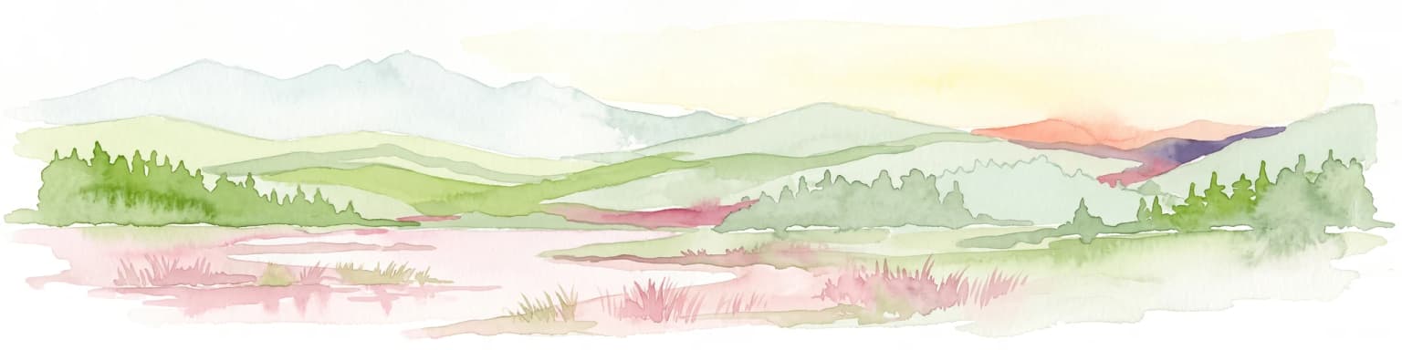
Watercolor painting of a landscape featuring soft green hills, coniferous trees, and low-lying wetland vegetation in shades of pink and green.
Nature reserveKrálovéhradecký kraj
About 41 km away#11 closest

West

Na Plachtě 3 Nature Reserve: Mapped Protected Landscapes in the Královéhradecký kraj

Explore the diverse sandy habitats and protected terrain of this Czech natural monument

Na Plachtě 3 represents a critical protected enclave in the Královéhradecký kraj, characterized by its mosaic of dry heaths, open sand patches, and peat meadows. This lowland site provides essential hibernation grounds for amphibians and invertebrates, maintaining a rich biological profile that contrasts with the urban-adjacent geography of Hradec Králové. Analyze its protected boundaries, geological history, and early successional landscape character through detailed mapping.

Area
0.17 km²
Established
2012
IUCN
IV
Relief
Lowland
Watercolor painting of a peaceful wetland landscape with a winding stream, soft rolling hills in the background, and wild meadow vegetation in the foreground.
Natural monumentKrálovéhradecký kraj
About 43 km away#12 closest

Southwest

Roudnička a Datlík Natural Monument: Wetland Geography and Protected Landscape Context

A vital ecological refuge within the Královéhradecký landscape.

Roudnička a Datlík protects a rare wetland mosaic of fishponds, reedbeds, and purple moor-grass meadows on the edge of the East Bohemian table. This natural monument remains a key site for regional conservation management, supporting a variety of orchids and waterbirds within an urban-fringe environment. Explore the site's mapped boundaries and its role in protecting lowland biodiversity.

Area
0.297 km²
Established
1988
IUCN
IV
Relief
Lowland
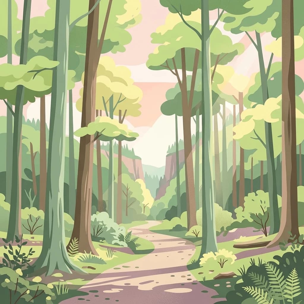
A stylized flat illustration of a winding dirt path leading through a lush, green deciduous forest with tall trees and ferns.
Protected areaLower Silesian Voivodeship
46 km away#13 closest

Northeast

Wzgórza Strzelińskie Protected Area: Geographic Atlas and Regional Landscape Mapping

A diverse Natura 2000 hill landscape in southwestern Poland.

Spanning over 3,800 hectares, Wzgórza Strzelińskie functions as a vital refuge for specialized European habitats. The area features a complex intersection of beech-dominated forests, rocky cliff communities, and traditional meadows that define the local Silesian topography. This record provides a detailed look at the park boundaries, ecosystem distribution, and the natural terrain that shapes this conservation site.

Area
38.362 km²
Relief
Upland
Water
Minor water
Watercolor illustration showing a gentle green landscape with a cascading waterfall, a small pond, forest patches, and distant mountains under a soft pink and yellow sky.
Natural monumentOlomouc Region
About 47 km away#14 closest

East

Vodopády Stříbrného potoka: Natural Monument and Mountain Stream Geography in Olomouc Region

Geomorphological landmark within the Rychlebské hory mountain range

Vodopády Stříbrného potoka is a protected natural monument in the Czech Republic, encompassing a narrow, steep-sided valley defined by bedrock cascades. This compact site highlights mountain stream geomorphology and serves as a significant feature in the Rychlebské hory, offering insight into the distinctive eroded terrain of the Jeseník District.

Area
0.017 km²
Established
1965
IUCN
III
Relief
Mountain
A horizontal watercolor illustration of a soft, abstract landscape with rolling hills in the background and green meadow vegetation in the foreground.
Natural monumentKrálovéhradecký kraj
About 50 km away#15 closest

Northwest

Vejsplachy Natural Monument: Protected Floodplain Forest and Wetland Geography in Czech Republic

Ecological mosaic and regional floodplain habitat in Královéhradecký kraj

Vejsplachy serves as a significant natural monument, preserving a rare convergence of ash and alder floodplain forest, wet thistle meadows, and aquatic reedbeds. Located on the edge of the town of Vrchlabí, this 3.34 hectare protected area offers a deep look into the geomorphology of the Královéhradecký kraj foothills and the delicate balance of surviving wetland habitats in a changing landscape.

Area
0.033 km²
Established
2020
IUCN
IV
Relief
Upland
Protected areaLower Silesian Voivodeship
50 km away#16 closest

North

Trzcińskie Mokradła Protected Area: Geographic Overview and Mapped Sudeten Wetland Landscape

Located in the Lower Silesian Voivodeship of Poland

Trzcińskie Mokradła stands as a significant mire complex in the Jelenia Góra Basin, providing a rare look at peat-forming habitats in the Sudetes. This protected area offers deep insight into regional wetland conservation and the environmental history of southwestern Poland, serving as an essential reference for researchers and landscape enthusiasts interested in intramontane basin geography.

Area
0.753 km²
Established
2011
Scope
Terrestrial
Water
Major water bodies
Digital vector-style illustration of a rural landscape with foreground greenery, a curved yellow field, a midground forest, and purple-tinged mountains under a cloudy, warm-toned sky.
Protected landscapeLower Silesian Voivodeship
51 km away#17 closest

North

Park Krajobrazowy Chełmy: Protected Landscape and Volcanic Geography in Southwestern Poland

Geological atlas of the Kaczawskie Foothills

Deep dive into the complex terrain of Park Krajobrazowy Chełmy, a protected area in Lower Silesia renowned for its layered volcanic history and unique floristic composition. This site showcases an intricate network of ravines and basalt-crowned hills that define the edge of the Sudetes, offering a comprehensive look at the region's ancient geological development and ecological heritage.

Area
159.91 km²
Established
1992
Relief
Mountain
Climate
Temperate
Protected areaLower Silesian Voivodeship
55 km away#18 closest

Northeast

Przeplatki nad Bystrzycą Protected Area: Regional Geography and Riverine Habitat Mapping

Protected riparian corridors and floodplain landscapes in southwestern Poland

Trace the three enclaves of Przeplatki nad Bystrzycą across the Lower Silesian Voivodeship. This protected area offers insight into European lowland river systems, where alluvial forests, oxbow lakes, and traditionally managed grasslands form a vital ecological mosaic for rare meadow butterflies and freshwater species.

Area
8.437 km²
Distance methodology

Geographic measurements, not driving distances

How nearby park distances are calculated

Distances use park boundaries whenever the available geometry allows it. When one or both boundaries are missing, the mapped park locations provide a clearly labelled estimate. Every value represents straight-line geographic separation and does not use roads or routing.

Boundary distance

Calculated between the nearest points of both park boundaries.

Location-to-boundary estimate

Estimated from one mapped park location to the nearest boundary of the other park.

Mapped-location estimate

Estimated between the mapped locations of both parks.

MoriAtlas Explorer

Continue Mapping Stołowe Mountains National Park's Unique Geography and Protected Areas

Delve deeper into the atlas-driven discovery of Stołowe Mountains National Park, understanding its distinct sandstone terrain and its place within the broader geography of the Lower Silesian Voivodeship. MoriAtlas provides structured insights into this protected landscape's mapped features and geological significance, inviting further exploration of its unique character and environmental context.