
Peaks
Piz Tantermozza
3,067 m

Analyzing the alpine terrain, forest ecosystems, and mountain topography of this protected area.
This geographic profile details the physical characteristics of Swiss National Park in the Graubünden region of Switzerland. Spanning 170.3 square kilometers, the park encompasses rugged mountain terrain and diverse habitats ranging from alpine meadows to montane forests, with peaks reaching altitudes of 3174 meters above sea level.
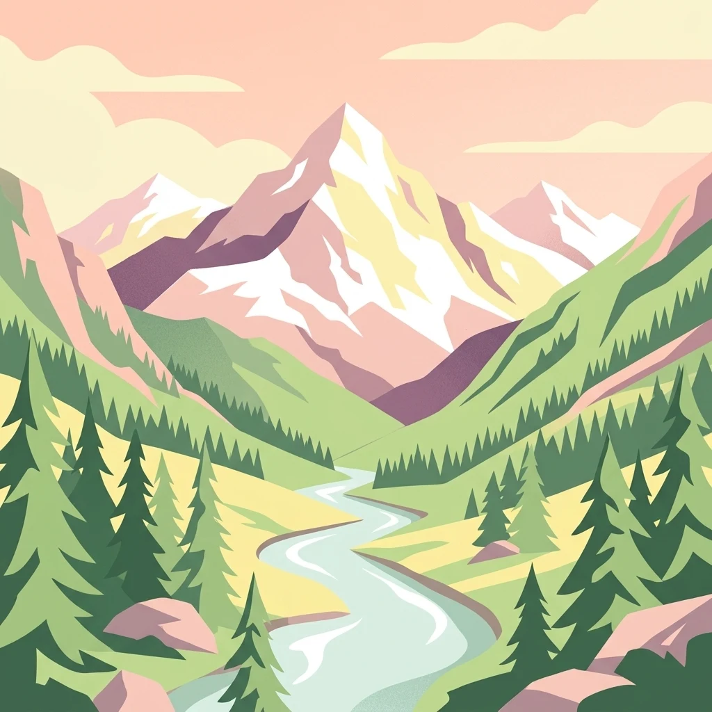
The oldest national park in the Alps, where nature is left to follow its own course.
The Swiss National Park is the only national park in Switzerland and the oldest of its kind in the Alps and Central Europe. Located in the Engadin valley of the canton of Graubünden, it occupies a roughly triangular area between Zernez, S-chanf, the Ofenpass, and Scuol, spanning about 170 square kilometers around the lower Engadine Dolomites. Classified by the IUCN as a Category Ia strict nature reserve (wilderness area), the park allows natural processes to unfold without human interference. Visitors must stay on marked trails; hunting, logging, grazing, fire-making, and even staying overnight are prohibited. The protected landscape includes forest, alpine meadows, bare rock, scree, snowfields, and small lakes, and supports diverse flora and fauna, with ongoing research tracking the recovery of ecosystems largely undisturbed since before human arrival in the Alps. Beyond its conservation role, the Swiss National Park is an important site for long-term ecological research and public environmental education. Since 1979 it has been part of the UNESCO Biosphere Reserve network, the first such area in Switzerland, and it remains a key reference point for understanding how Alpine ecosystems recover when left to themselves.
Mapped location memberships across Switzerland and Graubünden
Interactive mapped perimeter and derived spatial dimensions
Vertical range profile and recorded natural features within the park boundaries
Peaks
3,067 m
Peaks
3,165 m
Viewpoints
Peaks
3,139 m
Mountain saddles
2,846 m
Rivers
Alpine relief, forest cover, and habitat types across recorded zones
Mountains · Forest · Lakes · Rivers · Glacier
Alpine meadow · Montane forest · Grassland
Compare adjacent Alpine terrain and regional conservation areas
Northwest

High-altitude basin and crystalline geological features in Graubünden
Located in the Lower Engadine region of Graubünden, the Macun-Seen nature reserve is a significant high-altitude basin formed by glacial action. This protected exclave contains 23 small cirque lakes across a silicate plateau, offering a distinct ecological profile and expansive views of peaks approaching 3000 metres. It stands as a prime example of preserved alpine terrain within the broader Swiss National Park context.
Southeast

Explore its mapped boundaries and natural terrain.
Navigate Stelvio National Park, a designated national park in Italy's Trentino-Alto Adige/Südtirol region, through a map-centric lens. This page provides critical context for understanding the park's protected landscape, its geographic position within the Alps, and its mapped terrain. Utilize MoriAtlas to grasp the park's boundaries and its place in regional geography for structured natural landscape discovery.
Southeast
Protected glacial terrain and cultural alpine valleys in eastern Switzerland.
Discover the distinctive natural geography of Biosfera Val Müstair, where a dry inner-Alpine climate meets high-altitude glacial features like the Lai da Rims. This regional park protects an extensive area of Graubünden, balancing rare ecosystems, broad alluvial fans, and the traditional alpine economy of the Romansh-speaking community.
Southwest
Mapped alluvial terrain and alpine river geography
Situated in the broad valley floor of the Upper Engadin, this nature reserve protects one of the most significant alpine floodplain zones in the Swiss canton of Graubünden. The area features a complex network of river channels, gravel lakes, and marshes that are currently undergoing active revitalization to restore natural riverine processes and support rare riparian ecosystems.

West
A vertical protected landscape in the Swiss Alpine arc.
Parc Ela encompasses a remarkable span of Swiss Alpine geography, protecting everything from low-lying forested gorges at seven hundred meters to high-altitude peaks over three thousand meters. The park serves as a vital refuge for threatened insect species and large alpine mammals, while preserving the linguistic and architectural heritage of the Albula and Oberhalbstein valleys. Explore the mapped terrain where paleontological treasures meet historic trade routes.

Southwest
Protected landscape data for the Bernina range in Graubünden.
Examine the geographic boundaries and terrain of the Roseggletscher, a protected natural monument situated in the upper Val Roseg. This record captures its glacial extent, the emergence of the Lej da Vadret proglacial lake, and its role within the wider Bernina glacier ensemble of southeastern Switzerland.
West
A regional nature park shaped by high alpine ridges and ancient settlement traditions.
Naturpark Beverin encompasses a vast, multi-layered environment in the Swiss Alps. The area is defined by the sharp vertical contrast between carved river gorges like the Viamala and high-elevation ridges. Beyond the rugged mountain terrain, this protected landscape preserves centuries of pastoral history through the distinct settlement traditions of its Romanesque and Walser valleys.
Southwest
A study of protected vertical relief, glacial cirques, and Alpine terrain.
Val di Mello offers a profound look at high-altitude Alpine geography, characterized by its immense, light-colored granitic walls and deeply carved tributary valleys. This protected nature reserve acts as a gateway to the broader mountainous terrain of the Lombardia region, showcasing the geological evolution of the Italian Alps through its steep gullies, high summits, and expansive valley floor.
Delve into the mapped boundaries and natural history of the Swiss National Park. MoriAtlas provides a structured look at the ecological characteristics, geomorphology, and protected status of this essential Graubünden wilderness area for researchers and enthusiasts.