Mori Atlas logo
Park earthquake history

A curated atlas collection of epicentres and seismic data mapped to regional ocean floor features.

Historical Earthquake Records and Seismic Activity Near Tasman Fracture Commonwealth Marine Reserve

Review a detailed catalogue of recorded seismic events associated with the Tasman Fracture Commonwealth Marine Reserve geography. This database provides historical event dates, recorded magnitudes, and depth measurements for seismic activity located within range of this marine protected area. Each record links directly to source seismic catalogues to assist in spatial analysis of the undersea terrain.

Related tags

marine protected areadeep-sea habitatseamountsdeepwater coralssubantarctic waters

A vast offshore marine reserve off south-west Tasmania protecting deep-sea coral habitats and the Tasman Fracture.

Tasman Fracture Commonwealth Marine Reserve

The Tasman Fracture Commonwealth Marine Reserve is one of Australia's largest offshore marine protected areas, lying in the Indian Ocean off the rugged south-west coast of Tasmania. Encompassing roughly 42,500 square kilometres of deep ocean, it stretches to the southern edge of Australia's exclusive economic zone and contains the Tasman Fracture, a major geological feature of the regional seafloor. The reserve protects a transitional oceanic zone where cold southern waters meet the influence of the Zeehan Current, the most easterly expression of this subantarctic flow. Its seascape includes undersea peaks rising to within about 1,500 metres of the surface, creating conditions that support deepwater hard corals, diverse seabed invertebrates, subantarctic fish species, and a rich assembly of seabirds, seals, dolphins, and killer whales. Established in 2007 and managed through the South-east Commonwealth Marine Reserve Network, the reserve is organized into multiple zones with different levels of protection, balancing conservation of these deep-sea habitats with regulated activities such as fishing and mining.

Location
Australia
Park type
Marine protected area
Established
2007
Area
42,502 km²
Tasman Fracture Commonwealth Marine Reserve Protected Area Atlas

Search Tasman Fracture Commonwealth Marine Reserve records

Earthquakes near Tasman Fracture Commonwealth Marine Reserve

Earthquakes near Tasman Fracture Commonwealth Marine Reserve are related to the reserve by epicentre and measured distance, not asserted as events within it. Search dates, magnitudes, depths, localities, distance data, and sources without treating the reserve's mapped name or marine setting as a seismic cause, rating present danger, or forecasting later events.

Sort by
Magnitude
Location

This page describes catalogued earthquakes associated with the park by epicentre location and distance. It does not establish causation, assess current danger, or predict future earthquakes.

No earthquake records match the current filters

Park atlas

Beyond Tasman Fracture Commonwealth Marine Reserve records

More parks after Tasman Fracture Commonwealth Marine Reserve

Tasman Fracture Commonwealth Marine Reserve earthquake records lead to a distinct collection of protected destinations. Selection does not indicate a shared marine setting, reserve status, ecosystems, geology, seismic experience, proximity, hazards, risk, or comparable documentary support.
An illustrative style digital painting of a mountain peak rising above a sandy bay with rocky shoreline and coastal vegetation.
National parkTasmania
5.5 km away#1 closest

Northeast

Southwest National Park: Tasmania's Core Wilderness National Park and World Heritage Landscape

Mapping the remote buttongrass moorlands and rugged terrain of this expansive park.

Southwest National Park represents a significant protected area in Tasmania, Australia, spanning over 6,183 square kilometers. As the heart of the Tasmanian Wilderness World Heritage Area, it showcases an extraordinary landscape characterized by vast buttongrass moorlands, ancient temperate rainforests, and dramatic mountainous terrain. This park is vital for its wilderness character and conservation significance, offering a unique opportunity to explore one of the Southern Hemisphere's last remaining untouched temperate wildernesses through its mapped geography and protected boundaries.

Area
6,182.67 km²
Established
1968
IUCN
II
Relief
Mountain
Marine protected areaTasmania
27 km away#2 closest

East

Huon Commonwealth Marine Reserve: Deep Ocean Topography and Tasmanian Marine Protected Areas

Exploring underwater mountain peaks and protected seafloor habitats.

Situated in the Pacific Ocean south of Tasmania, the Huon Commonwealth Marine Reserve is defined by a dense cluster of seventy submerged seamounts. These massive cone-shaped structures provide rare structural complexity on the deep seafloor, acting as critical nodes for biodiversity, foraging marine life, and protected benthic communities. This atlas entry provides a detailed look at the reserve's topography and its role in the broader South-east Commonwealth Marine Reserve Network.

Area
9,991 km²
Established
1999
IUCN
VI
Relief
Mixed relief
A stylized illustration of a mountain valley featuring a central alpine lake surrounded by rocky ridges, evergreen trees, and low-lying shrubs under a soft pastel sky.
National parkTasmania
47 km away#3 closest

Northeast

Hartz Mountains National Park

Mapped geography and regional landscape context.

Hartz Mountains National Park, in Tasmania, Australia. Landscapes: mountains, valleys, and cliffs.

Area
71.4 km²
Established
1939
IUCN
II
Visitors
11.8K annual
A digital illustration of a scenic coastal view in South Bruny National Park, featuring a dirt trail leading towards a prominent rocky cliff surrounded by water, framed by tall eucalyptus trees in the foreground.
National parkTasmania
48 km away#4 closest

Northeast

South Bruny National Park: Tasmania's Protected Area Geography and Mapped Landscape Context

Discover the geographic identity and mapped boundaries of this Tasmanian National Park.

South Bruny National Park is a key protected landscape located in Tasmania, Australia, offering critical insights into regional conservation efforts. As a designated National Park, its identity is tied to the preservation of its unique geographic features and natural terrain. This entry provides detailed information on its mapped boundaries and its place within Tasmania's broader atlas of protected areas, facilitating a deeper understanding of its protected landscape significance.

Area
50.59 km²
Established
1997
IUCN
II
Visitors
9.2K annual
An illustrative style digital painting of a rugged coastline at sunset with high vertical sea cliffs in the foreground and a calm sea with gentle waves.
National parkTasmania
106 km away#5 closest

Northeast

Tasman National Park: Discover Its National Park Geography and Protected Landscape

Explore mapped boundaries and regional context within Tasmania.

Tasman National Park represents a key protected area for exploration within Tasmania's distinctive geography. This page facilitates a detailed look at its national park identity, focusing on its mapped natural landscapes and its contribution to the protected area network of the Australian island state. Gain structured geographic insight into this significant conservation landscape.

Area
107.5 km²
Established
1999
IUCN
II
Relief
Mixed relief
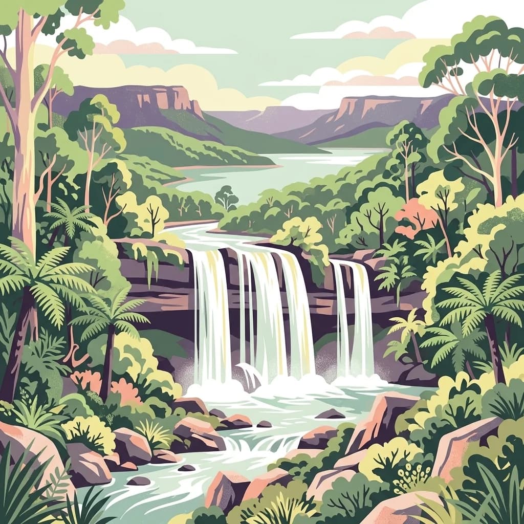
A stylized illustration of a wide waterfall plunging over a rocky ledge into a river, surrounded by temperate rainforest with ferns and tall trees, with rolling hills and a cloudy sky in the background.
National parkTasmania
108 km away#6 closest

Northeast

Mount Field National Park

Mapped terrain and regional atlas context for this Australian national park.

Mount Field National Park, in Tasmania, Australia. Landscapes: lakes, mountains, and valleys.

Area
162.65 km²
Established
1916
IUCN
II
Relief
Mountain
A digital illustration of a mountainous landscape with a multi-tiered waterfall cascading down a cliff into a river surrounded by lush temperate forest and ferns.
National parkTasmania
About 129 km away#7 closest

North

Franklin, Gordon Wild Rivers National Park: Mapped Protected Landscape Identity in Tasmania's Geography

Explore the mapped boundaries of this Tasmanian National Park.

Franklin, Gordon Wild Rivers National Park stands as a testament to Tasmania's commitment to preserving its natural heritage. This national park provides a unique opportunity to examine protected land boundaries and understand its specific geographic setting within the Australian state. Its landscape context is integral to the regional atlas, offering a clear representation of conservation priorities and natural geographic features for detailed study.

Area
4,463.42 km²
Established
1908
Relief
Mountain
Climate
Temperate
Marine protected areaTasmania
148 km away#8 closest

Northwest

Zeehan Commonwealth Marine Reserve: Geographic Map and Protected Marine Landscape Overview

Deep-sea habitats and shelf bathymetry off the Tasmanian coast

Spanning from fifty meters to over three thousand meters deep, the Zeehan Commonwealth Marine Reserve represents a massive, bathymetrically diverse protected area in the southern Indian Ocean. This geographic overview highlights the reserve's role in conserving limestone seabed features and deep-sea corridors west of Tasmania, offering a clear perspective on its location and scale within the broader regional marine network.

Area
19,897 km²
Established
2007
IUCN
VI
Relief
Lowland
MoriAtlas Explorer

Explore the Geographic Boundaries of Tasman Fracture Commonwealth Marine Reserve

Gain insight into the deep-sea topography and marine conservation zones of the Tasman Fracture Commonwealth Marine Reserve. MoriAtlas provides detailed context on the seafloor features and oceanographic importance of this protected area located off the southern coast of Tasmania.