Mori Atlas logo
Park earthquake history

Review documented earthquake epicenters and magnitude data mapped to the regional landscape of Thy National Park

Historical Collection of Seismic Records Associated with the Geography of Thy National Park

This archive provides a structured overview of seismic activity recorded in the proximity of Thy National Park. The data includes historical event details such as precise magnitude measurements, focal depths, and relative epicenter distances to the park boundaries. These records offer a comprehensive look at the regional seismic context over time without implying geological causation or future hazard assessment.

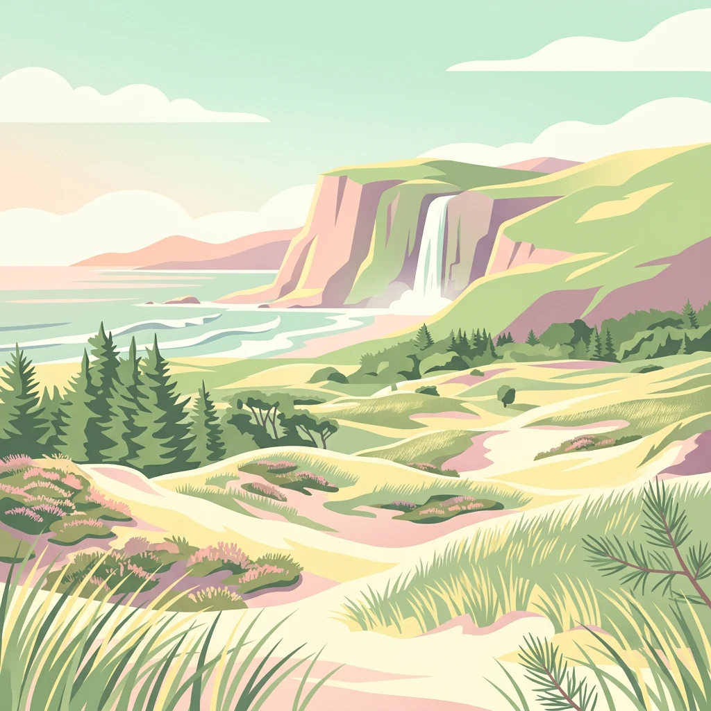
Illustrated coastal landscape featuring sandy dunes, pine trees, cliffs with a waterfall, and a beach with waves

Denmark's first national park protecting the North Sea coast's windswept dunes and heaths

Thy National Park

Thy National Park is Denmark's first national park, established in 2007 and officially opened to the public in August 2008. Located in the Thy district of Northwest Jutland, the park stretches along the North Sea coast from Hanstholm in the north to Agger Tange in the south, covering approximately 244 square kilometers. The park encompasses a distinctive landscape of windswept coastal dunes, expansive heaths, and conifer plantations that were planted over more than a century to halt centuries of destructive sand drift. This protected area represents one of Denmark's most significant coherent natural landscapes, featuring rare sandy heaths, clear lakes with distinctive aquatic vegetation, and a rich cultural history dating back to the Stone Age. The park forms part of a larger conservation initiative linking multiple nature areas across northern Jutland.

Location
Denmark
Park type
National park
Established
2007
Area
244 km²
Thy National Park Protected Landscape Atlas

Explore Thy National Park records by depth and distance

Examine past earthquake observations in the wider Thy National Park area

Review historical seismic data near Nationalpark Thy, a 244 km² mixed-scope lowland park in Denmark with major waters; each event keeps coordinates, date, magnitude, depth, locality, source, and park separation. The view does not place earthquakes inside the boundary or infer effects, risk, and future activity from dunes, cliffs, islands, lakes, wetlands, coast, beaches, and woodland.

Sort by
Magnitude
Location

This page describes catalogued earthquakes associated with the park by epicentre location and distance. It does not establish causation, assess current danger, or predict future earthquakes.

No earthquake records match the current filters

Park atlas

Continue from Thy National Park earthquake observations

Find more protected destinations beyond Thy National Park

The park destinations following Thy National Park extend discovery beyond its earthquake records and Danish dune-heath landscape. They are not presented as sharing coastal geography, designation, ecological character, nearby position, seismic history, hazard exposure, or earthquake-page coverage; each place retains an independently documented identity.
A soft watercolor painting depicting a flat, open coastal landscape with rolling, pale-colored dunes in the distance and muted green grasses in the foreground against a white background.
Protected areaDenmark
Park boundaries overlap#1 closest

Southwest

Agger Tange Protected Area: Coastal Peninsula and Wetland Geography in Northwestern Denmark

Mapping the North Sea and Limfjorden interface

Agger Tange is a significant coastal landform in northwestern Denmark, characterized by its exposed western dunes and sheltered eastern salt marshes. This protected landscape documents the dramatic influence of storm surges on the Jutland coast, resulting in a complex network of lagoons and tidal flats that support critical bird habitats.

Area
24 km²
Established
1984
Relief
Lowland
Scope
Mixed
Protected areaDenmark
Mapped location lies within the park boundary#2 closest

Southwest

Natura 2000-område nr. 43 Klitheder mellem Stenbjerg og Lodbjerg Coastal Heath Atlas

Denmark protected coastal dunes and heathland geography

Spanning over 2,900 hectares on the Danish coast, this protected area features a coherent sequence of active dunes, inland heathlands, and freshwater slacks. The site provides essential habitat for breeding cranes and rare flora, reflecting the complex ecological transitions of the Thy coastline. Use this reference to trace the regional boundaries and unique terrain features of this designated European habitat.

Area
29.18 km²
Water
Minor water
A soft, painterly watercolor illustration of a shallow lake landscape featuring gentle green grassy foreground, a calm body of water, and distant treelined hills under a pale, warm sky.
Protected areaRegion Nordjylland
About 1.6 km away#3 closest

South

Ove Sø Protected Area: Geographic Overview of the Thy Wetland Landscape in Denmark

Mapped freshwater terrain in Region Nordjylland

Ove Sø features a long, shallow basin and complex wetland margins within the Thy landscape of Denmark. This entry provides a detailed look at the lake's hydrographic position, its connection to the Limfjorden system, and the protected status of its surrounding reed beds and meadow habitats.

Area
3.5 km²
Relief
Lowland
Scope
Terrestrial
Water
Water-dominated
Protected areaDenmark
5.1 km away#4 closest

South

Nissum Bredning Protected Area: Geography and Coastal Mapping in Denmark

Shallow bay ecosystems, glacial cliffs, and Limfjorden sand flats.

Nissum Bredning is a broad, low-lying basin in western Denmark known for its extensive shallow sand flats, including Fjordgrund and Gåseholm. The protected area encompasses a diverse coastal mosaic of brackish lagoons, salt meadows, and the distinctive Toftum Bjerge glacial cliff. This geography offers a clear view into the intersection of active North Sea currents and sheltered inland fjord environments.

Area
200 km²
Relief
Lowland
Climate
Temperate
Access
Easy access
Nature reserveRegion Nordjylland
5.4 km away#5 closest

Northeast

Korsø Knude Nature Reserve: Protected Chalk Headland and Coastal Terrain in Northern Jutland

Geographic analysis of lime-rich grassland and coastal dune systems

Korsø Knude protects a rare habitat mosaic where chalk geology meets shifting dune sand. This small but significant area in Region Nordjylland serves as a key site for specialized calcareous flora and coastal biodiversity, offering a distinct example of the Skagerrak coastline's natural terrain.

Area
0.2 km²
Established
1955
Relief
Upland
Climate
Temperate
Nature reserveRegion Nordjylland
12 km away#6 closest

Southeast

Mågerodde og Karby Odde Nature Reserve: Coastal Protected Landscapes in Region Nordjylland

Limfjorden shoreline, shallow bays, and saline meadows.

Mågerodde og Karby Odde serves as a key coastal reserve in Denmark, defined by its extensive Limfjorden shoreline and complex mix of aquatic and terrestrial habitats. From saline meadows and coastal lagoons to acidic grasslands and spring-fed mires, this protected area offers a look at a diverse maritime ecosystem. The site is recognized for its importance to migratory waterfowl and breeding coastal birds, providing a essential link in the regional geography of the Limfjorden.

Area
4.97 km²
Established
2011
Relief
Lowland
Climate
Temperate
Nature reserveRegion Nordjylland
14 km away#7 closest

Northeast

Lild Strand og Lild Strandkær: A Detailed Look at Denmark's Protected Coastal Dune Terrain

Mapping the dune heath, wetlands, and inland lakes of western Thy

Lild Strand og Lild Strandkær encompasses a significant protected landscape in Region Nordjylland. This site features a continuous stretch of coastal dune zonation, including foredunes and grey-green dunes, set against a chain of distinctive brown-water and Lobelia lakes. Its habitat mosaic offers a clear window into the ecological diversity of the Thy coastline through a structured geographic lens.

Area
7.49 km²
Established
2011
Relief
Lowland
Scope
Terrestrial
A wide panoramic watercolor illustration showing a landscape with green hills, pine trees, a body of water, and colorful foreground vegetation in pastel tones.
Natural monumentRudmose Aggerø
About 17 km away#8 closest

South

Rudmose Aggerø Natural Monument: Mapped Coastal and Fjord Landscapes in Denmark

Protected shallow-water habitats and rural island geography

Rudmose Aggerø presents a unique study in protected coastal geography. Situated in the western Limfjorden, this low-lying island features managed nature reserves and essential intertidal ecosystems. Its geography is shaped by the interplay of sandbanks and shallow marine environments, offering a serene perspective on Denmark's protected fjord landscapes.

Area
0.275 km²
Relief
Lowland
Climate
Temperate
Scope
Mixed
MoriAtlas Explorer

Continue Your Atlas Exploration of Thy National Park's Protected Landscapes

Delve deeper into the mapped geography and ecological significance of Thy National Park. Understanding the specific protected terrain and regional context of this Danish national park enriches your atlas discovery. By examining its distinct landscape features and boundaries, you gain a more structured appreciation for its role within Denmark's natural heritage, all accessible through MoriAtlas's detailed geographic platform.