Mori Atlas logo
Park earthquake history

Review documented epicentres, event magnitudes, and calculated distance mapping for this region.

Recorded Seismic Activity and Historical Earthquake Records for Torfowiska Orawsko-Nowotarskie

The collection provides a transparent view of historical earthquake records identified within proximity to the Torfowiska Orawsko-Nowotarskie protected landscape. Each entry includes verified event data such as magnitude, depth, and epicentre location relative to the peatland complex boundaries. This catalogue serves as an informational resource for understanding recorded seismic occurrences in the Kotlina Orawsko-Nowotarska basin and the surrounding Lesser Poland highlands.

A flat-style digital illustration showing a foreground of rolling green grassy meadows, a middle ground of dense forest, and a jagged, snow-capped mountain range in the background under a pale yellow sky.

A Natura 2000 mosaic of raised bogs, peatlands, and Carpathian valley wildlife in the Kotlina Orawsko-Nowotarska.

Torfowiska Orawsko-Nowotarskie

Torfowiska Orawsko-Nowotarskie is a large Natura 2000 protected area located in the Kotlina Orawsko-Nowotarska, a broad intermontane basin in southern Poland. The site unites a special area of habitat conservation and a special protection area for birds in a single territory, forming one of the most important peatland complexes of the Polish Carpathians. The protected landscape is dominated by raised bogs (torfowiska wysokie), transitional mires, boggy coniferous forest, and fragments of mountain stream gravel bars, all set against the backdrop of the surrounding Beskidy and Podhale highlands. The combination of post-glacial geology, cool and humid basin climate, and centuries of peat-forming processes has produced a striking mosaic of dome-shaped raised bogs, wet meadows, marshy pools, and swampy woodlands. The area is especially significant for birds tied to open peatland and forest-edge habitats, including species of high European conservation concern, as well as for amphibians, mollusks, and rare plant communities. Together with the older Bór na Czerwonem reserve and the broader Południowomałopolski Obszar Chronionego Krajobrazu, it anchors the conservation identity of the Nowy Targ region.

Location
Poland
Park type
Nature reserve
Established
2007
Area
82.7 km²
Torfowiska Orawsko-Nowotarskie Protected Area Map

Search Torfowiska Orawsko-Nowotarskie records by distance

Explore historical earthquakes near Torfowiska Orawsko-Nowotarskie

Earthquakes near Torfowiska Orawsko-Nowotarskie are associated with the protected peatlands through mapped epicentres and measured distances, not evidence of boundary occurrence. Explore dates, magnitudes, depths, locations, distance data, and sources without attributing seismic causes to bog or wetland features, assessing current hazard, or forecasting future activity.

Sort by
Magnitude
Location

This page describes catalogued earthquakes associated with the park by epicentre location and distance. It does not establish causation, assess current danger, or predict future earthquakes.

No earthquake records match the current filters

Park atlas

Continue beyond Torfowiska Orawsko-Nowotarskie earthquake records

Discover more protected places after Torfowiska Orawsko-Nowotarskie

Continue from this Carpathian mosaic of raised bogs and peatlands to a separately chosen destination set. The recommendations do not connect the places by wetland ecology, conservation status, seismic exposure, or equal documentation.
Nature reserveLesser Poland Voivodeship
5.8 km away#1 closest

Northeast

Ostoja Gorczańska: Protected Area Mapping and Carpathian Mountain Geography in Lesser Poland

Ecological corridors across the Gorce and Beskid Wyspowy ranges

Covering nearly 18,000 hectares, Ostoja Gorczańska represents a significant biodiversity reservoir in the Polish Carpathians. The site integrates multiple protection frameworks, safeguarding varied habitats from subalpine grasslands to dense montane forests and peatland depressions. Use this resource to examine the structural connectivity of these mountain units and the expansive wilderness corridors found within the Lesser Poland Voivodeship.

Area
179.979 km²
Established
2008
Relief
Mountain
Climate
Temperate
Watercolor painting showing rolling green hills, forests, and distant mountains under a pale sky
National parkLesser Poland Voivodeship
6 km away#2 closest

Northeast

Gorce National Park: A Comprehensive Geographic Profile and Protected Area Analysis

Mountain meadows and Carpathian forest landscapes in southern Poland

Gorce National Park preserves an essential segment of the Western Beskids, offering a look into the region's arched ridges and forested terrain. The area serves as a critical protected landscape featuring significant biodiversity, ancient woodland, and open mountain meadows that distinguish the local geography of the Lesser Poland Voivodeship.

Area
70.3 km²
Established
1981
IUCN
II
Visitors
80K annual
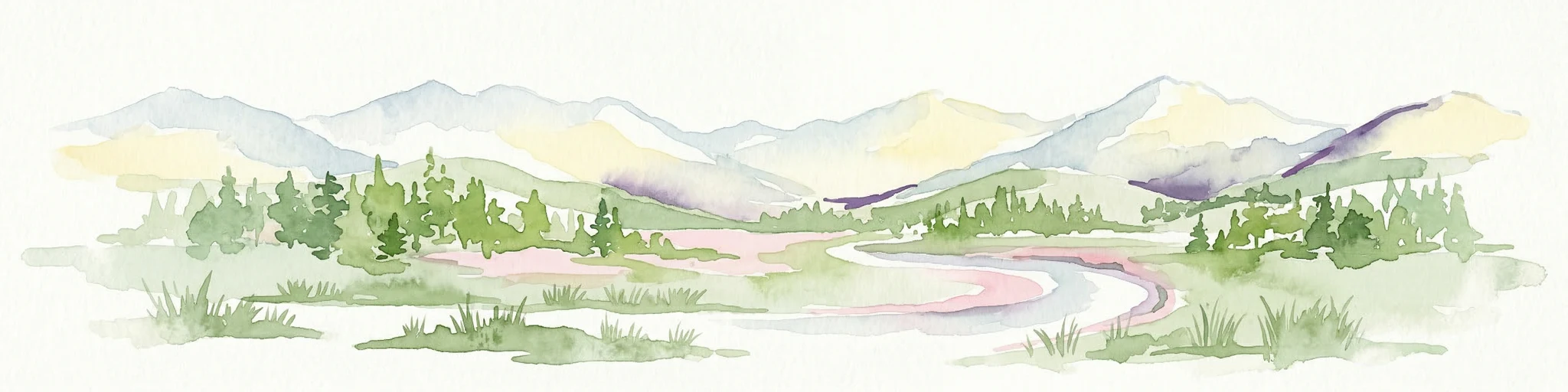
A horizontal watercolor illustration depicting rolling, layered mountains in shades of purple, red, and soft green, with a foreground of green evergreen forest silhouettes against a white background.
National parkLesser Poland Voivodeship
6 km away#3 closest

Northeast

Gorczański Park Narodowy: Protected Mountain Geography in Lesser Poland Voivodeship

Carpathian forest and mountain clearing atlas

Gorczański Park Narodowy serves as a critical protected landscape in the Polish Carpathians. This atlas entry details the park's topography, including the dominant Turbacz massif, extensive forest corridors, and the ecological significance of its seepage meadows and high-altitude grasslands.

Area
70.3 km²
Established
1981
Visitors
92K annual
Relief
Mountain
Watercolor painting showing a lake surrounded by trees and mountains in the background
National parkSlovakia
10 km away#4 closest

South

Tatra National Park: Mapping the Alpine Peaks and Glacial Landscapes of Slovakia

Protected Mountain Terrain in the Carpathian Range

Examine the geographic framework of Tatra National Park, a significant protected area in Slovakia defined by dramatic glacial valleys, over three hundred caves, and high-altitude mountain ecosystems. This authoritative entry provides a detailed look at the park's alpine boundaries, hydrological networks, and role as a transboundary biosphere reserve in the Carpathian Mountains.

Area
738 km²
Established
1949
IUCN
II
Relief
Mountain
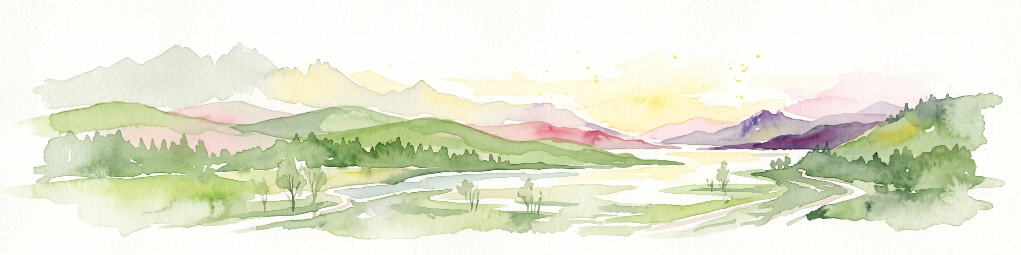
Watercolor painting of mountain ranges, forests, and a winding river
National parkLesser Poland Voivodeship
12 km away#5 closest

Southeast

Tatra National Park: An Atlas Discovery of Poland's Alpine High-Mountain Protected Landscape

Glacial valleys, granite peaks, and mountain biodiversity in Lesser Poland.

Tatra National Park stands as a vital sanctuary for Poland's alpine mountain ecosystems. The protected area features a striking landscape of high-altitude rock formations, glacial cirques holding deep blue lakes, and extensive subterranean cave systems. By studying the park boundaries and vertical zonation, users gain insight into the ecological diversity of the Carpathian arc and the physical geography of the Lesser Poland region.

Area
211.64 km²
Established
1954
IUCN
II
Visitors
3.9M annual
National parkLesser Poland Voivodeship
12 km away#6 closest

Southeast

Tatrzański Park Narodowy: Alpine Peaks and Protected Glacial Valleys of Lesser Poland

High mountain geography and transboundary alpine terrain

Tatrzański Park Narodowy anchors the southern border of Poland with its unique alpine relief, crystalline granite structures, and karst formations. This protected area defines the character of the Lesser Poland Voivodeship, containing clear glacial lakes like Morskie Oko and distinct vegetation layers that support an array of endemic species in a shared high-mountain environment.

Area
211.64 km²
Established
1955
Visitors
5.1M annual
Relief
Mountain
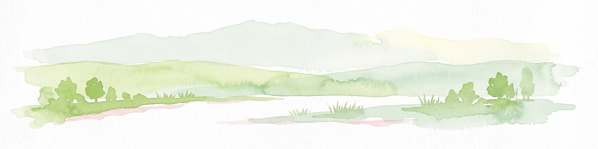
Watercolor painting of rolling green hills and distant forested mountains under a light sky
National parkLesser Poland Voivodeship
15 km away#7 closest

Northwest

Babia Góra National Park: Carpathian National Park with Mapped Terrain and Unique Flora

Explore protected landscapes and regional geography in Lesser Poland Voivodeship.

Babia Góra National Park, a significant protected area in Poland's Carpathian Mountains, offers a distinct atlas exploration experience. Its landscape is defined by the prominent Babia Góra massif, featuring complete altitudinal vegetation zones, rare endemic plant species, and notable terrain characteristics. As a UNESCO biosphere reserve, it provides valuable insights into Carpathian ecosystems and regional geographic context, making it a key destination for structured discovery of protected lands and natural landscapes.

Area
33.92 km²
Established
1954
IUCN
II
Visitors
81K annual
Watercolor painting of a green, rolling mountain range and hills set against a white background.
National parkLesser Poland Voivodeship
15 km away#8 closest

Northwest

Babiogórski Park Narodowy: Geographic Overview and Protected Carpathian Mountain Terrain

Mapping alpine vegetation zones in the Lesser Poland Voivodeship

Babiogórski Park Narodowy encompasses the massif of Babia Góra, offering a complex mountain landscape that transitions from beech-fir forests to true alpine summit zones. Recognized for its clear vertical vegetation layering, this protected area holds significant ecological importance within the Western Carpathians and serves as a major landmark for studying high-altitude terrain in southern Poland.

Area
33.92 km²
Established
1954
Visitors
81K annual
Relief
Mountain
MoriAtlas Explorer

Explore the Protected Landscapes of Torfowiska Orawsko-Nowotarskie

Trace the boundaries and wetland geography of Torfowiska Orawsko-Nowotarskie through our detailed map data. Gain insights into one of the most important peatland complexes in the Polish Carpathians, grounded in the regional ecology of Lesser Poland Voivodeship.