Peaks
Mzinga
790 m

A structured look at the landscape composition, administrative context, and water systems.
This geographic overview examines the physical characteristics and environmental context of Tsavo East National Park in Kenya. The data details a total recorded area of 13747 km² and maps major features including the Yatta Plateau, Galana River, and various hills and waterfalls found within the park boundaries.
Related tags
Kenya's vast savanna wilderness protecting iconic elephants, lions, and the world's longest lava flow
Tsavo East National Park is one of Kenya's largest and most iconic protected areas, spanning approximately 13,747 square kilometers of semi-arid savanna in Taita-Taveta County along the nation's southern border. Established in April 1948, the park was created from the former Taru Desert and now forms a contiguous protected landscape of roughly 22,000 square kilometers together with adjacent Tsavo West National Park. The park is defined by its flat, dry plains intersected by the Galana River and the Athi-Galana-Sabaki River system, with the Yatta Plateau running along its western boundary as the world's longest lava flow. Tsavo East is renowned for its extraordinary wildlife populations, including the famous Tsavo lions whose adult males characteristically lack manes, as well as herds of African bush elephants, giraffes, zebras, and over 500 recorded bird species. The park's archaeology reveals a rich human history dating to the Late Stone Age, with evidence of Swahili trade connections extending back to around 700 CE.
Regional placement within Taita-Taveta County, Kenya
Tsavo East’s mapped park extent spans 13,747 km²
Explore recorded lowland terrain classifications and mapped features
Peaks
790 m
Peaks
660 m
Cliffs
Viewpoints
Viewpoints
Wetlands
Recorded classifications for arid lowland terrain, sparse forest, and water features
Grassland · Rivers · Plateau · Waterfalls · Cliffs · Lakes
Grassland · Savanna · Riverine habitat
Explore Kenya's Connected Protected Landscapes and Regional Park Geography

Southwest

Explore mapped boundaries and natural landscapes in Taita-Taveta County.
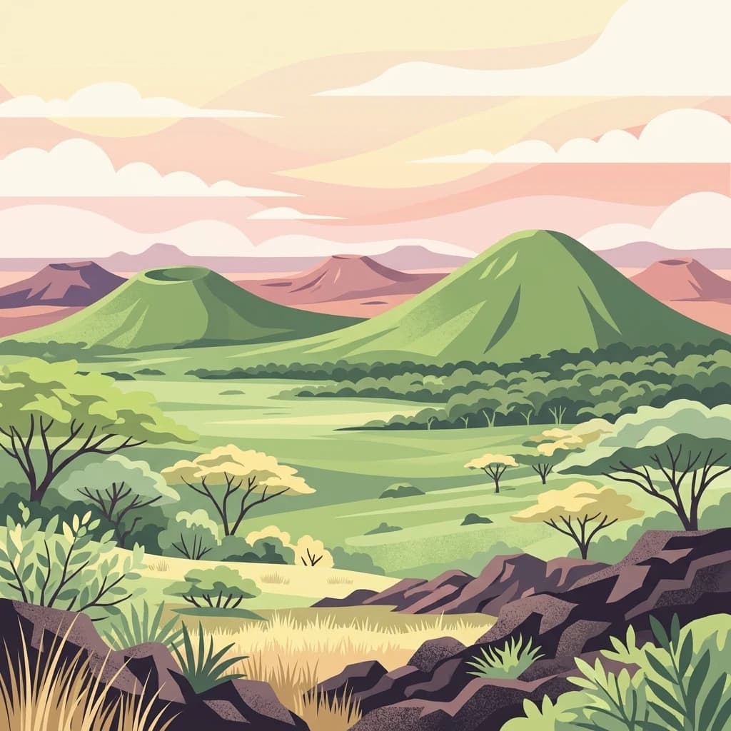
Tsavo West National Park offers a focused exploration of protected landscape and regional geography within Kenya. Discover the mapped extent of this national park, understanding its role as a conservation area in Taita-Taveta County. This entry provides key geographic context and atlas-style information, highlighting the natural terrain and protected boundaries for detailed discovery.
West
Explore its mapped boundaries and regional park context.
Delve into the protected lands of Chyulu Hills National Park, a key national park situated within Kenya's expansive geographic tapestry. This resource provides detailed insights into the park's mapped boundaries, its specific terrain characteristics, and its overall contribution to the regional atlas. Understand its role as a protected area contributing to the diverse natural landscapes of East Africa.
East
Kenya Indian Ocean marine and wetland habitat
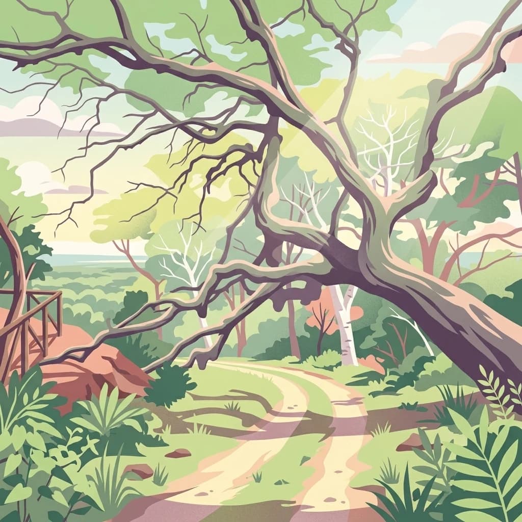
Analyze the protected landscape of Malindi-Watamu, covering coral reefs, tidal sandflats, and mangrove forests along the Kenyan coastline. This area serves as a significant biosphere reserve, integrating marine conservation with complex intertidal geography and seasonal seabird habitats within its protected boundaries.
Southeast
Mapped protected area within Kenya's coastal region.
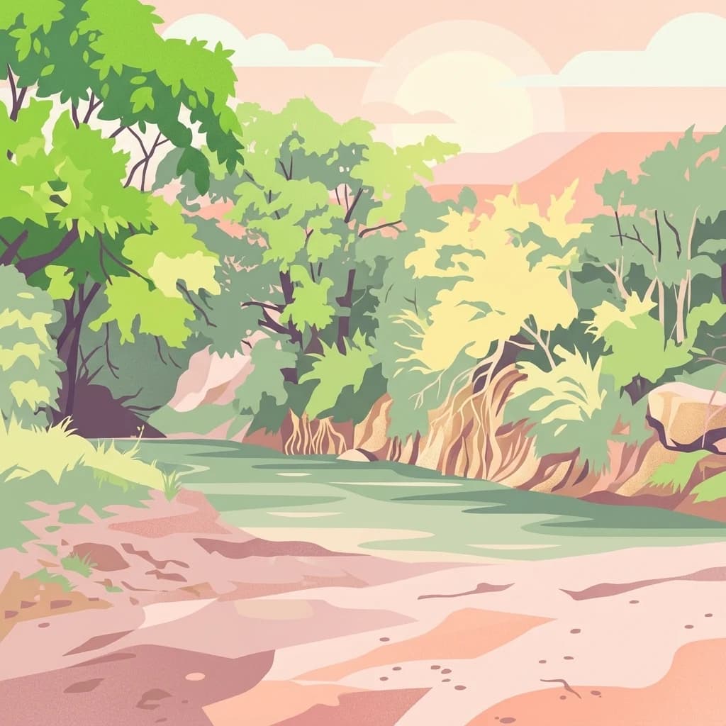
Arabuko Sokoke National Park is identified as a protected national park situated within the historical Coast Province of Kenya. This entry offers a focused examination of its protected landscape and geographic significance, contributing to a structured atlas of protected areas. Users can explore the park's mapped boundaries and its positioning within the regional geography, providing essential context for understanding this natural landscape.
South

Explore its mapped terrain and conservation significance within East Africa.
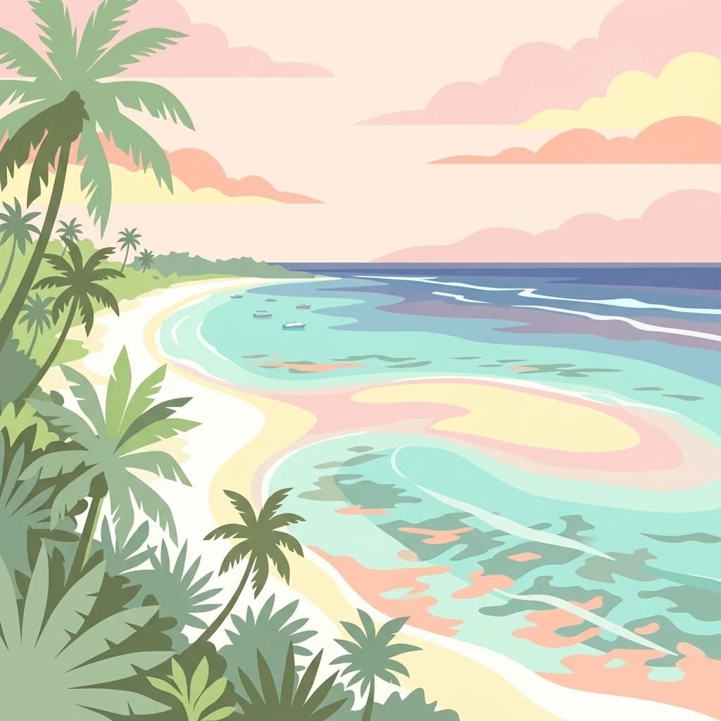
Mkomazi National Park, in Tanzania. Landscapes: forests, woodlands, and grasslands.
Southeast
Mapped protected area within the East African regional geography.
This detail page offers an in-depth look at Mombasa Marine Park, a designated national park in Kenya. It focuses on its protected landscape identity, mapped boundaries, and its place within the regional geography of East Africa. Users seeking structured atlas information and context for protected natural areas will find detailed geographic data here.
Southeast
Explore mapped boundaries and regional geography.
Watamu Marine National Park represents a crucial marine protected area situated on Kenya's coastline, contributing significantly to the country's conservation landscape. This designation underscores its role in preserving coastal and underwater geography, making it a key entity for atlas exploration of protected marine environments. Understanding its specific geographic scope and mapped protected boundaries is essential for comprehending Kenya's broader environmental atlas.
East
Explore mapped marine geography and protected landscape context.
Malindi Marine National Park is a protected national park situated along Kenya's coast, contributing to the nation's atlas of conservation landscapes. This entry details the park's specific geographic identity, its mapped boundaries, and its role as a protected marine environment. Engage with its regional context and understand how its protected status shapes its unique landscape for a deeper geographic appreciation.
Deepen your understanding of Tsavo East National Park by examining its specific geographic features and mapped protected boundaries. This focused exploration within Kenya's atlas provides critical context for comprehending the park's landscape and its place within the broader conservation geography of the region.