
Mori Atlas logo
Park earthquake history

A historical catalogue of seismic events identified by epicentre distance from park boundaries

Recorded Seismic Activity and Earthquake History Near Tsimanampetsotsa National Park in Madagascar

Explore the collection of recorded earthquake events associated with the geographic coordinates of Tsimanampetsotsa National Park. This catalogue provides a structured view of historical seismic data, including event dates, magnitudes, and depths for records proximal to the Mahafaly Plateau landscape. These records offer a transparent look at seismic occurrences near the protected zone without implying causality or future hazard.

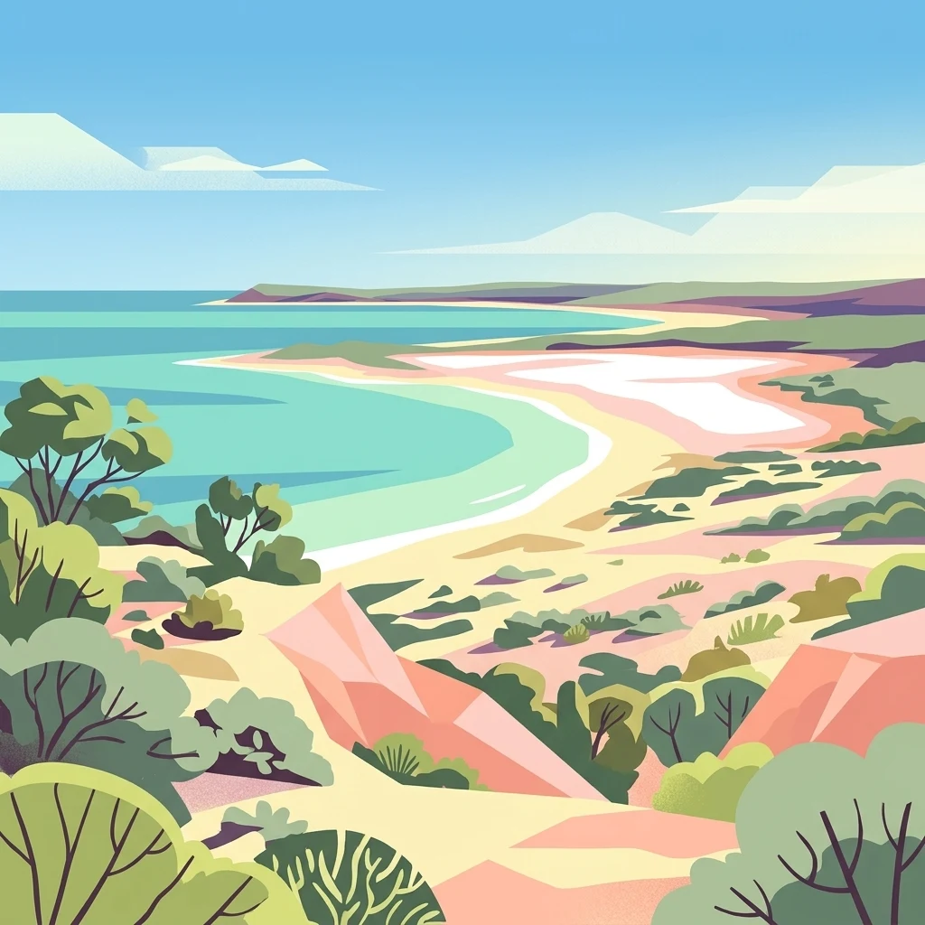
Digital illustration of a coastal landscape with turquoise water, sandy shores, and desert vegetation under a blue sky.

A dry-forest and saline-lake sanctuary on Madagascar's spiny south-west coast.

Tsimanampetsotsa National Park

Tsimanampetsotsa National Park is a protected area on the arid south-west coast of Madagascar, in the Atsimo-Andrefana region. It sits roughly 90 kilometres south of Toliara and within the broader Mahafaly Plateau landscape, one of the most botanically distinct corners of the island. The park protects a transition zone between a hypersaline coastal lake, a limestone plateau, and the globally unique Madagascar spiny forests, often described as the spiny desert. It is recognized as one of the world's most important ecological regions for plant endemism, while also hosting striking wildlife such as lemurs, Grandidier's mongoose, and the radiated tortoise. Lake Tsimanampetsotsa itself is a designated Ramsar Wetland of International Importance and anchors the park's identity. The park's combination of dry-forest endemism, paleontological riches, and wetland significance gives it an unusually layered natural and cultural importance.

Location
Madagascar
Park type
National park
Established
1927
Area
432 km²
Explore Tsimanampetsotsa National Park Geography

Search Tsimanampetsotsa National Park events by distance

Explore historical earthquakes near Tsimanampetsotsa National Park

Tsimanampetsotsa National Park spans 432 km² of arid Madagascan plateau, cliffs, caves, lakes, coast, forest, and wetlands. Search linked earthquakes by their reported facts and spatial relationship to the park, not as evidence of effects on its lake or karst landscape, a present warning, or a prediction.

Sort by
Magnitude
Location

This page describes catalogued earthquakes associated with the park by epicentre location and distance. It does not establish causation, assess current danger, or predict future earthquakes.

No earthquake records match the current filters

Park atlas

Continue after Tsimanampetsotsa National Park earthquake records

Discover other destinations beyond Tsimanampetsotsa National Park

The destination links that follow shift away from Madagascar’s saline lake, dry forest, and spiny coast to unrelated protected places. They are presented for exploration, not as ecological or seismic counterparts with shared geography or evidence depth.
National parkMadagascar
Park boundaries overlap#1 closest

Tsimanampetsotsa National Park: National Park Protected Landscape and Geographic Features

Mapping the protected area boundaries and landscape context.

Delve into the protected landscape identity of Tsimanampetsotsa National Park, a designated national park. This profile focuses on its geographic significance, providing a clear view of its mapped boundaries and the surrounding natural terrain. Understand its role as a protected area within the larger atlas for comprehensive geographic exploration.

Area
432 km²
Established
1927
Relief
Mixed relief
Climate
Arid
Wildlife reserveAtsimo-Andrefana
About 85 km away#2 closest

Northeast

Beza Mahafaly Special Reserve: Atlas of the Gallery Forest and Dry Bush Landscape

Protected riparian ecosystems in the Atsimo-Andrefana region

Beza Mahafaly Special Reserve provides a concentrated look at Madagascar's rare gallery forest ecosystems. Situated within the dry, thorny spiny bush of the Atsimo-Andrefana region, the reserve protects a unique linear woodland environment. Its geography is characterized by the striking contrast between river-fed riparian corridors and the arid, undulating terrain that defines the southwestern landscape.

Area
6 km²
Established
1986
IUCN
IV
Natural monumentAtsimo-Andrefana
About 144 km away#3 closest

North

Analavelona Natural Monument: An Isolated Montane Forest Refuge in Southwestern Madagascar

Mapping a sacred and biodiverse massif in the Atsimo-Andrefana region

Analavelona Natural Monument represents a striking geographic contrast, standing as an elevated montane forest massif surrounded by arid plains. This protected landscape contains a complex ecological mosaic, ranging from humid evergreen forests to rocky sclerophyllous slopes. Recognized for its sacred status and high level of narrow-range endemism, the massif serves as an essential ecological island within the broader topography of southwestern Madagascar.

Area
44.87 km²
Established
2015
Relief
Mountain
Climate
Tropical
National parkAtsimo-Andrefana
About 158 km away#4 closest

Northeast

Zombitse-Vohibasia National Park: Protected Landscape and Regional Geographic Context

Mapped protected areas and natural terrain discovery.

Investigate Zombitse-Vohibasia National Park, a designated national park within the Atsimo-Andrefana region. This dedicated entry provides detailed geographic information, focusing on the park's mapped terrain and its contribution to the regional protected landscape. Gain insight into the park's atlas-relevant features and its specific place within Madagascar's conservation geography.

Area
363.08 km²
Established
2002
IUCN
II
Relief
Upland
Marine protected areaAtsimo-Andrefana
About 179 km away#5 closest

Southeast

Nosy Ve-Androka National Park Marine Protected Area: Geographic and Atlas Discovery

Understand its marine landscape and regional geographic context.

Delve into Nosy Ve-Androka National Park, a critical marine protected area located in Madagascar's Atsimo-Andrefana region. This park offers a focused look at protected marine geography, allowing for detailed atlas exploration of its mapped boundaries and its role within the surrounding natural landscapes. Understand the specific geographic identity and conservation significance of this vital protected area through structured data.

Area
914.45 km²
Climate
Tropical
Access
Moderate access
Water
Water-dominated
Wildlife reserveAndroy
About 184 km away#6 closest

Southeast

Réserve spéciale du Cap Sainte-Marie: Wildlife Reserve and Protected Coastal Landscape in Androy

An essential arid-zone habitat at the southernmost edge of Madagascar

Réserve spéciale du Cap Sainte-Marie protects a fragile ecosystem of spiny thicket and coastal terrain. As a focal point for tortoise conservation in the Androy region, this reserve offers a window into the specialized reptile habitats and harsh environmental conditions that define the southern extremity of the Madagascar landscape.

Area
17.5 km²
Established
1962
IUCN
IV
Scope
Terrestrial
National parkIhorombe Region
205 km away#7 closest

Northeast

Isalo National Park: Explore Madagascar's Sandstone Canyons and Protected Landscape Geography

Discover unique geology, tapia woodlands, and regional park context.

Isalo National Park is a prominent protected area in Madagascar's Ihorombe Region, celebrated for its spectacular sandstone landscape. This national park features deep canyons, eroded rock domes, and striking runiform mountains, formed from ancient sedimentary deposits. The park preserves significant tapia woodlands and remarkable plant endemism, offering a rich context for understanding protected land distribution and Madagascar's unique geography. Its mapped terrain provides a visual atlas of natural wonders.

Area
815.4 km²
Established
1962
IUCN
II
Visitors
32.7K annual
Marine protected areaMadagascar
About 220 km away#8 closest

North

Velondriake Marine Protected Area: Coastal Geography and Conservation Landscape in Madagascar

A large-scale community marine reserve in southwestern Madagascar.

Velondriake protects 64,000 hectares of marine and terrestrial environment, spanning coral reefs, extensive mangroves, and inland baobab-rich spiny forests. As a focal point for regional marine management, the area showcases the intersection of coastal ecology and community governance in the western Indian Ocean. Explore the geographic boundaries and habitat features that define this significant marine protected territory along the coast of Madagascar.

Area
640 km²
Established
2006
Relief
Lowland
Climate
Tropical
MoriAtlas Explorer

Discover the Protected Geography of Tsimanampetsotsa National Park

Examine the layered natural terrain of Tsimanampetsotsa National Park through MoriAtlas. Use this detailed record to understand the park's unique placement among the limestone features and arid forests of Southwestern Madagascar, providing a clear window into regional conservation mapping.