Mori Atlas logo
Park earthquake history

Review documented seismic events near the Ugam Range and park boundaries by magnitude and date.

Historical Earthquake Catalogue for Ugam-Chatkal National Park in the Tashkent Region

This collection provides a structured record of historical earthquakes associated by epicentre proximity with Ugam-Chatkal National Park. Users can browse individual seismic events documented within the surrounding geography of the Tashkent Region, including data on event timing, magnitude, and depth. The collection serves as an atlas reference for understanding regional seismic activity through verified records without assessing future hazards or landscape causation.

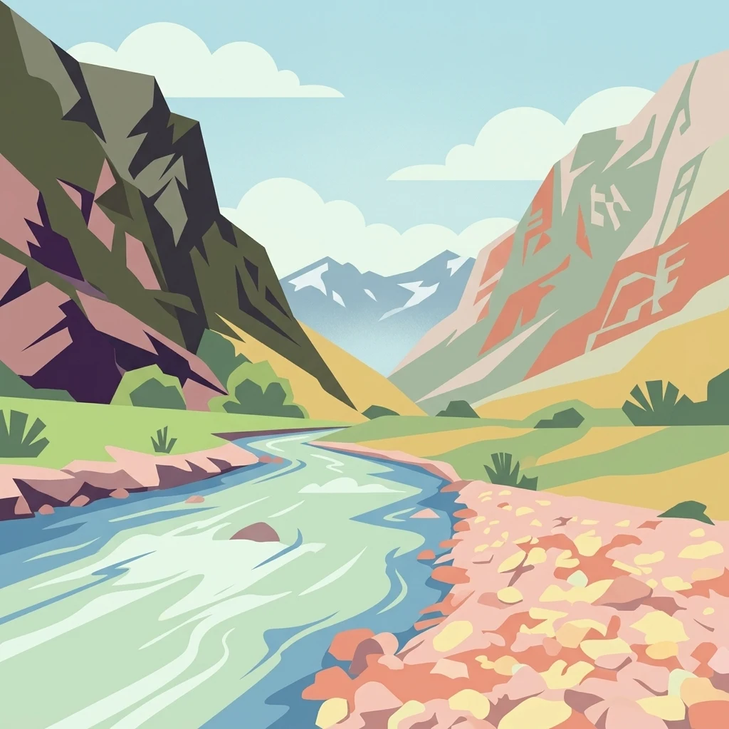
Stylized illustration of a river flowing through a mountain valley with rocky shores, green vegetation, and mountain peaks under a clear sky

Mountain wilderness along the Uzbekistan-Kazakhstan border

Ugam-Chatkal National Park

Ugam-Chatkal National Park is a vast protected mountain wilderness in northeastern Uzbekistan, situated along the border with Kazakhstan. Established in 1992, the park encompasses approximately 668,350 hectares of rugged terrain in the Tashkent Region, spanning the Bostonliq, Parkent, and Ohangaron districts. The park is defined by the dramatic Ugam Range, which rises to elevations of 4,000 meters and creates a striking backdrop of alpine peaks and steep mountain valleys. This protected area represents one of Uzbekistan's most ecologically significant mountainous landscapes, supporting diverse forest ecosystems on its northern and eastern slopes while the southern exposures remain more sparsely vegetated. The park also contains the internationally recognized Chatkal Biosphere Reserve, which was inscribed by UNESCO in 1978 and contains significant archaeological heritage.

Location
Uzbekistan
Park type
National park
Established
1992
Area
6,683.5 km²
Highest point
4,000 m
Ugam-Chatkal National Park protected area

Review reported seismic locations across 6,683.5 km² of mountains, forest and rivers

Trace earthquake geography around Ugam-Chatkal National Park

Explore source-linked earthquake observations around Ugam-Chatkal National Park, a 6,683.5 km² terrestrial mountain park of forest and rivers; compare reported dates, magnitudes, depths, localities and calculated distance from the protected area. That separation provides regional context without proving boundary occurrence, mountain or forest impacts, present hazard, causation or future events.

Sort by
Magnitude
Location

This page describes catalogued earthquakes associated with the park by epicentre location and distance. It does not establish causation, assess current danger, or predict future earthquakes.

No earthquake records match the current filters

Park atlas

Move from Ugam-Chatkal National Park earthquake history onward

Browse further protected places beyond Ugam-Chatkal National Park

After this Uzbekistan–Kazakhstan mountain wilderness, browse other protected destinations on their own terms. They are not alpine substitutes, seismic analogues, hazard comparisons, nearby sites, or places supported by matching records.
Watercolor painting of a landscape featuring green hills, grassy foreground, and distant mountains under a soft sky
National parkSouth Kazakhstan Region
Park boundaries overlap#1 closest

North

Sayram-Ugam National Park: Protected Landscape and Geographic Context in South Kazakhstan

Explore dramatic alpine terrain and ancient juniper forests.

Delve into Sayram-Ugam National Park, a protected national park situated in the South Kazakhstan Region. This expansive area showcases striking mountain topography with seven natural altitude zones, from mountain steppe to permanent snowfields. It is distinguished by its vast juniper forests and serves as a crucial conservation site for wild fruit and nut tree genetic diversity, offering a unique lens for understanding Central Asian mountain ecology and landscape context.

Area
1,490 km²
Established
2007
IUCN
II
Relief
Mountain
State or regional parkKyrgyzstan
About 8.2 km away#2 closest

Northeast

Kara-Buura State Nature Park: Kyrgyzstan's Protected Mountain Landscapes and Natural Terrain

Explore the mapped geography and protected area context.

Kara-Buura State Nature Park is a designated state or regional park within Kyrgyzstan, crucial for understanding the country's protected natural areas. Located in the Tian Shan mountain range, the park encompasses diverse alpine and semi-arid landscapes, typical of this high-altitude region. Its mapped boundaries and geographic setting provide valuable context for atlas exploration and appreciating the conservation efforts aimed at preserving Kyrgyzstan's natural heritage, offering a unique lens into the country's mountainous terrain.

IUCN
II
Watercolor painting of a green valley with a winding river and forested hills against a pale, soft-toned sky.
Nature reserveJalal-Abad Region
About 72 km away#3 closest

East

Padyshata State Nature Reserve: Geographic Profile and Protected Forest Atlas

Chatkal Range ecosystems in the western Tien Shan

Covering 158 square kilometers, Padyshata State Nature Reserve is a strictly managed protected area defined by its vertical zonation, ranging from rocky mountain slopes to expansive juniper and Semenov fir forests. This geographic profile outlines the terrain, habitat structure, and the vital role of this reserve within the broader Kyrgyz forest conservation network.

Area
158.46 km²
Established
2003
IUCN
Ia
Relief
Mountain
Protected areaKyrgyzstan
About 86 km away#4 closest

East

Alatay State Nature Park Protected Area: Mapped Landscape and Regional Geography

Explore the protected boundaries and geographic context of this Kyrgyz natural landscape.

Alatay State Nature Park is a designated protected area within Kyrgyzstan, contributing to the country's vast network of natural landscapes. This page provides detailed geographic information, emphasizing the park's mapped boundaries and its role within the broader regional context of the Tian Shan mountains. It serves as a crucial point for understanding the park's landscape identity and its atlas-level significance as a protected natural territory in Central Asia.

Access
Access unknown
National parkKyrgyzstan
About 86 km away#5 closest

East

Besh-Tash Nature Park National Park: Mapped Geography and Protected Landscape Identity

Explore the natural terrain and park boundaries in Kyrgyzstan.

Discover Besh-Tash Nature Park, a designated national park located within the mountainous terrain of Kyrgyzstan. This page focuses on its role as a protected landscape, providing insight into its mapped geographic context and regional significance. Understanding Besh-Tash Nature Park involves examining its natural setting and its contribution to conservation efforts in Central Asia, offering a factual atlas perspective for explorers.

Nature reserveJalal-Abad Region
About 114 km away#6 closest

East

Ryazan-Say Botanical Zakaznik: Protected Botanical Landscapes in the Jalal-Abad Region

Nature reserve geography and relict plant conservation in Kyrgyzstan

Ryazan-Say Botanical Zakaznik is a concentrated nature reserve dedicated to the survival of rare, relict subtropical flora. The protected area encompasses a narrow, steep-walled gorge system that funnels moisture to sustain species like wild fig and pomegranate. This site provides a critical reference for studying how sheltered mountain canyons maintain ecological diversity within the wider landscape of western Kyrgyzstan.

Area
1.1 km²
Established
1987
IUCN
IV
Relief
Upland
State or regional parkKyrgyzstan
About 152 km away#7 closest

South

Sarkent State Nature Park: A Protected Landscape in Kyrgyzstan's Tian Shan Mountains

Explore mapped boundaries and regional geographic context.

Sarkent State Nature Park is a key state or regional park situated within the dramatic mountain geography of Kyrgyzstan. Its designation protects a significant natural landscape, offering users a valuable point of reference for understanding regional protected areas and the intricate terrain of Central Asia. This detail entry provides context for its mapped boundaries and its place within the broader atlas of protected lands.

National parkJizzakh Region
181 km away#8 closest

Southwest

Zaamin National Park: National Park Protected Landscape in Jizzakh Region

Explore its mapped boundaries and natural geography.

Zaamin National Park represents a crucial component of protected natural landscapes within Uzbekistan, situated in the Jizzakh Region. This national park detail page provides essential geographic context, focusing on the park's mapped boundaries and its role as a protected area. Users can delve into the regional geography and landscape features that contribute to Zaamin National Park's unique identity, offering a factual basis for atlas-style exploration and understanding of conservation lands.

Area
156 km²
Established
1926
IUCN
II
Relief
Mountain
MoriAtlas Explorer

Continue Exploring Ugam-Chatkal National Park's Geography and Protected Landscape

Deepen your understanding of Ugam-Chatkal National Park by exploring its specific mapped boundaries and regional geographic context within the Tian Shan mountain system. This national park offers a detailed case study in alpine conservation and landscape diversity, highlighting key features for atlas-based exploration. By examining its terrain and protected status, you gain insight into the broader ecological and geographic significance of Uzbekistan's natural heritage.