
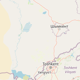
Streams
Park geography
Structured data on regional distribution, mountain peaks, and elevation profiles
Ugam-Chatkal National Park Geographic Profile: Boundaries, Terrain, and Natural Features
Examine the technical geographic footprint of Ugam-Chatkal National Park, which extends across 6683.5 square kilometers in the Tashkent Region. This profile details the alpine climate, coniferous forest landscapes, and notable peaks such as the 4000-meter Karakush.
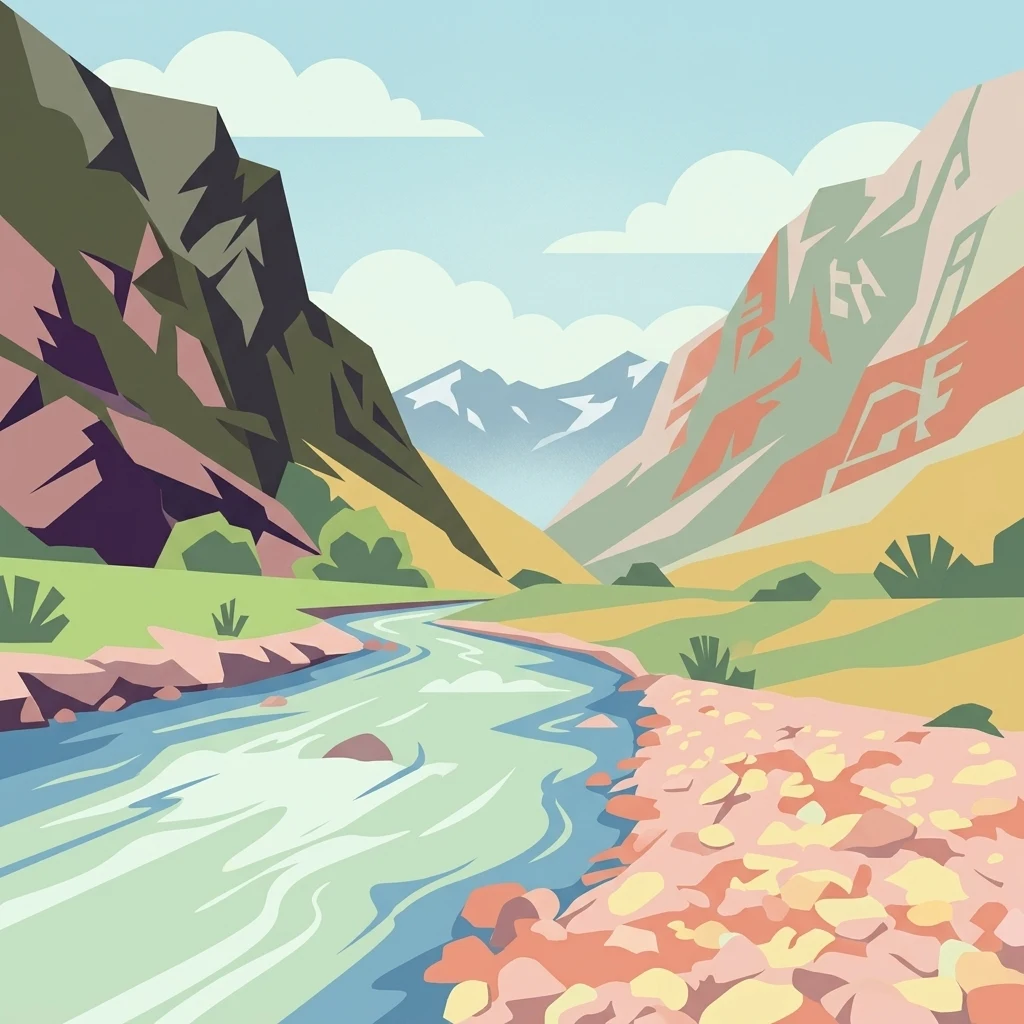
Mountain wilderness along the Uzbekistan-Kazakhstan border
Ugam-Chatkal National Park
Ugam-Chatkal National Park is a vast protected mountain wilderness in northeastern Uzbekistan, situated along the border with Kazakhstan. Established in 1992, the park encompasses approximately 668,350 hectares of rugged terrain in the Tashkent Region, spanning the Bostonliq, Parkent, and Ohangaron districts. The park is defined by the dramatic Ugam Range, which rises to elevations of 4,000 meters and creates a striking backdrop of alpine peaks and steep mountain valleys. This protected area represents one of Uzbekistan's most ecologically significant mountainous landscapes, supporting diverse forest ecosystems on its northern and eastern slopes while the southern exposures remain more sparsely vegetated. The park also contains the internationally recognized Chatkal Biosphere Reserve, which was inscribed by UNESCO in 1978 and contains significant archaeological heritage.
- Location
- Uzbekistan
- Park type
- National park
- Established
- 1992
- Area
- 6,683.5 km²
- Highest point
- 4,000 m
Location overview
Transboundary park geography across Uzbekistan and regional boundaries
Ugam-Chatkal National Park Geographic Placement and Regional Context
Ugam-Chatkal National Park is positioned in the Tashkent Region of Uzbekistan with additional location records in American Samoa. Geographic records confirm its transboundary designation as a non-coastal protected landscape.
- Countries
- Uzbekistan
- Regions
- Tashkent Region
- Primary location
- Tashkent Region
- Geographic setting
- Transboundary · Inland
Boundary and coordinates
Interactive boundary geometry and recorded area measurements
Ugam-Chatkal National Park Boundary Map and Spatial Extent
Mapped park outlines provide precise spatial context for analyzing protected area boundaries. Accompanying measurements detail total area coverage and coordinate spans across the terrain.
- Boundary area
- 4,577.3 km²
- Boundary perimeter
- 699.4 km
- Northernmost point
- 42.2951° N
- Southernmost point
- 41.023° N
- Easternmost point
- 71.2691° E
- Westernmost point
- 69.7835° E
- Geographic centre
- 41.7449° N, 70.3716° E
- North–south span
- 141.3 km
- East–west span
- 123.7 km
Elevation and terrain
Mapped peaks, streams, and saddles within the protected mountain landscape
Ugam-Chatkal National Park Mountain Terrain and Elevation Profile
Recorded elevation records place the high point at four thousand meters within mountain terrain. Associated cards detail named natural features, types, and spatial relationships located within boundaries.
- Maximum elevation
- 4,000 m
- Highest point
- 4,000 m
Selected named natural features
Mountain saddles
Турпакбель
3,260 m
Rivers
Charaolmasoy
Waterfalls
Водопад "Трёхэтажный"
8 m high
Mountain saddles
Метеорологов
3,750 m
Streams
Каима
Environmental setting
Alpine climate zones, montane forests, and mountain relief profiles
Ugam-Chatkal National Park Environmental Classifications and Physical Setting
Stored classifications combine mountain relief, temperate coniferous forests, and alpine climate zones into a structured physical setting profile. Recorded categories connect directly to corresponding protected area destinations across the regional atlas.
- Relief
- Mountain
- Climate
- Alpine
- Water
- Minor water
- Forest cover
- Partial forest
Landscape features
Mountains · Forest · Rivers
Habitat types
Temperate coniferous forest · Montane forest
Park atlas
Browse surrounding mountain parks and protected areas to trace Central Asia's unique geographic spread.
Discover More Protected Mountain Landscapes: National Parks Near Ugam-Chatkal National Park
After exploring Ugam-Chatkal National Park, discover additional national parks and protected areas within Uzbekistan and across the surrounding Central Asian mountain systems. Comparing these diverse alpine ecosystems and designated UNESCO landscapes reveals the broader regional spread of conservation efforts and mapped park geography.
National parkSouth Kazakhstan Region
Park boundaries overlap#1 closest
North

Sayram-Ugam National Park: Protected Landscape and Geographic Context in South Kazakhstan
Explore dramatic alpine terrain and ancient juniper forests.
Delve into Sayram-Ugam National Park, a protected national park situated in the South Kazakhstan Region. This expansive area showcases striking mountain topography with seven natural altitude zones, from mountain steppe to permanent snowfields. It is distinguished by its vast juniper forests and serves as a crucial conservation site for wild fruit and nut tree genetic diversity, offering a unique lens for understanding Central Asian mountain ecology and landscape context.
- Area
- 1,490 km²
- Established
- 2007
- IUCN
- II
- Relief
- Mountain
State or regional parkKyrgyzstan
About 8.2 km away#2 closest
Northeast

Kara-Buura State Nature Park: Kyrgyzstan's Protected Mountain Landscapes and Natural Terrain
Explore the mapped geography and protected area context.
Kara-Buura State Nature Park is a designated state or regional park within Kyrgyzstan, crucial for understanding the country's protected natural areas. Located in the Tian Shan mountain range, the park encompasses diverse alpine and semi-arid landscapes, typical of this high-altitude region. Its mapped boundaries and geographic setting provide valuable context for atlas exploration and appreciating the conservation efforts aimed at preserving Kyrgyzstan's natural heritage, offering a unique lens into the country's mountainous terrain.
- IUCN
- II
Nature reserveJalal-Abad Region
About 72 km away#3 closest
East
Padyshata State Nature Reserve: Geographic Profile and Protected Forest Atlas
Chatkal Range ecosystems in the western Tien Shan
Covering 158 square kilometers, Padyshata State Nature Reserve is a strictly managed protected area defined by its vertical zonation, ranging from rocky mountain slopes to expansive juniper and Semenov fir forests. This geographic profile outlines the terrain, habitat structure, and the vital role of this reserve within the broader Kyrgyz forest conservation network.
- Area
- 158.46 km²
- Established
- 2003
- IUCN
- Ia
- Relief
- Mountain
Protected areaKyrgyzstan
About 86 km away#4 closest
East
Alatay State Nature Park Protected Area: Mapped Landscape and Regional Geography
Explore the protected boundaries and geographic context of this Kyrgyz natural landscape.
Alatay State Nature Park is a designated protected area within Kyrgyzstan, contributing to the country's vast network of natural landscapes. This page provides detailed geographic information, emphasizing the park's mapped boundaries and its role within the broader regional context of the Tian Shan mountains. It serves as a crucial point for understanding the park's landscape identity and its atlas-level significance as a protected natural territory in Central Asia.
- Access
- Access unknown
National parkKyrgyzstan
About 86 km away#5 closest
East
Besh-Tash Nature Park National Park: Mapped Geography and Protected Landscape Identity
Explore the natural terrain and park boundaries in Kyrgyzstan.
Discover Besh-Tash Nature Park, a designated national park located within the mountainous terrain of Kyrgyzstan. This page focuses on its role as a protected landscape, providing insight into its mapped geographic context and regional significance. Understanding Besh-Tash Nature Park involves examining its natural setting and its contribution to conservation efforts in Central Asia, offering a factual atlas perspective for explorers.
Nature reserveJalal-Abad Region
About 114 km away#6 closest
East
Ryazan-Say Botanical Zakaznik: Protected Botanical Landscapes in the Jalal-Abad Region
Nature reserve geography and relict plant conservation in Kyrgyzstan
Ryazan-Say Botanical Zakaznik is a concentrated nature reserve dedicated to the survival of rare, relict subtropical flora. The protected area encompasses a narrow, steep-walled gorge system that funnels moisture to sustain species like wild fig and pomegranate. This site provides a critical reference for studying how sheltered mountain canyons maintain ecological diversity within the wider landscape of western Kyrgyzstan.
- Area
- 1.1 km²
- Established
- 1987
- IUCN
- IV
- Relief
- Upland
State or regional parkKyrgyzstan
About 152 km away#7 closest
South
Sarkent State Nature Park: A Protected Landscape in Kyrgyzstan's Tian Shan Mountains
Explore mapped boundaries and regional geographic context.
Sarkent State Nature Park is a key state or regional park situated within the dramatic mountain geography of Kyrgyzstan. Its designation protects a significant natural landscape, offering users a valuable point of reference for understanding regional protected areas and the intricate terrain of Central Asia. This detail entry provides context for its mapped boundaries and its place within the broader atlas of protected lands.
National parkJizzakh Region
181 km away#8 closest
Southwest

Zaamin National Park: National Park Protected Landscape in Jizzakh Region
Explore its mapped boundaries and natural geography.
Zaamin National Park represents a crucial component of protected natural landscapes within Uzbekistan, situated in the Jizzakh Region. This national park detail page provides essential geographic context, focusing on the park's mapped boundaries and its role as a protected area. Users can delve into the regional geography and landscape features that contribute to Zaamin National Park's unique identity, offering a factual basis for atlas-style exploration and understanding of conservation lands.
- Area
- 156 km²
- Established
- 1926
- IUCN
- II
- Relief
- Mountain
MoriAtlas Explorer
Continue Exploring Ugam-Chatkal National Park's Geography and Protected Landscape
Deepen your understanding of Ugam-Chatkal National Park by exploring its specific mapped boundaries and regional geographic context within the Tian Shan mountain system. This national park offers a detailed case study in alpine conservation and landscape diversity, highlighting key features for atlas-based exploration. By examining its terrain and protected status, you gain insight into the broader ecological and geographic significance of Uzbekistan's natural heritage.
Browse next
Global natural geography
Explore related park routes
Explore MoriAtlas Global ParksBrowse All MoriAtlas ParksGlobal Park Map DiscoveryMoriAtlas: Browse All CountriesBrowse All MoriAtlas ContinentsNational Park Environment AtlasGrand Canyon National Park AtlasYellowstone National Park AtlasYosemite National Park Atlas and GeographySerengeti National Park AtlasGalápagos National Park Protected LandscapeBanff National Park Geography and AtlasKruger National Park Atlas EntryUluṟu-Kata Tjuṯa National Park AtlasExplore Uluru-Kata Tjuta National Park GeographyPlitvice Lakes National Park AtlasFiordland National Park Protected LandscapeGreat Smoky Mountains National Park AtlasAfghanistan National Parks and Protected AreasAlbania National Parks and Protected AreasAlgeria National Parks and Protected AreasAmerican Samoa National Parks and Protected AreasAndorra National Parks and Protected AreasAngola National Parks and Protected AreasAntarctica National Parks and Protected AreasAntigua and Barbuda Park List