Waterfalls
Водоспад Вишка
2 m high

Detailed administrative data, landscape classifications, and topographical insights for this protected Ukrainian park.
Examine the precise geographic configuration of Uzh National Nature Park, situated within the Zakarpattia Oblast of Ukraine. This profile provides structured insights into its 391.593 square kilometer boundary, high-altitude terrain reaching 1251 meters, and diverse environments spanning from temperate forests to mountain valleys.
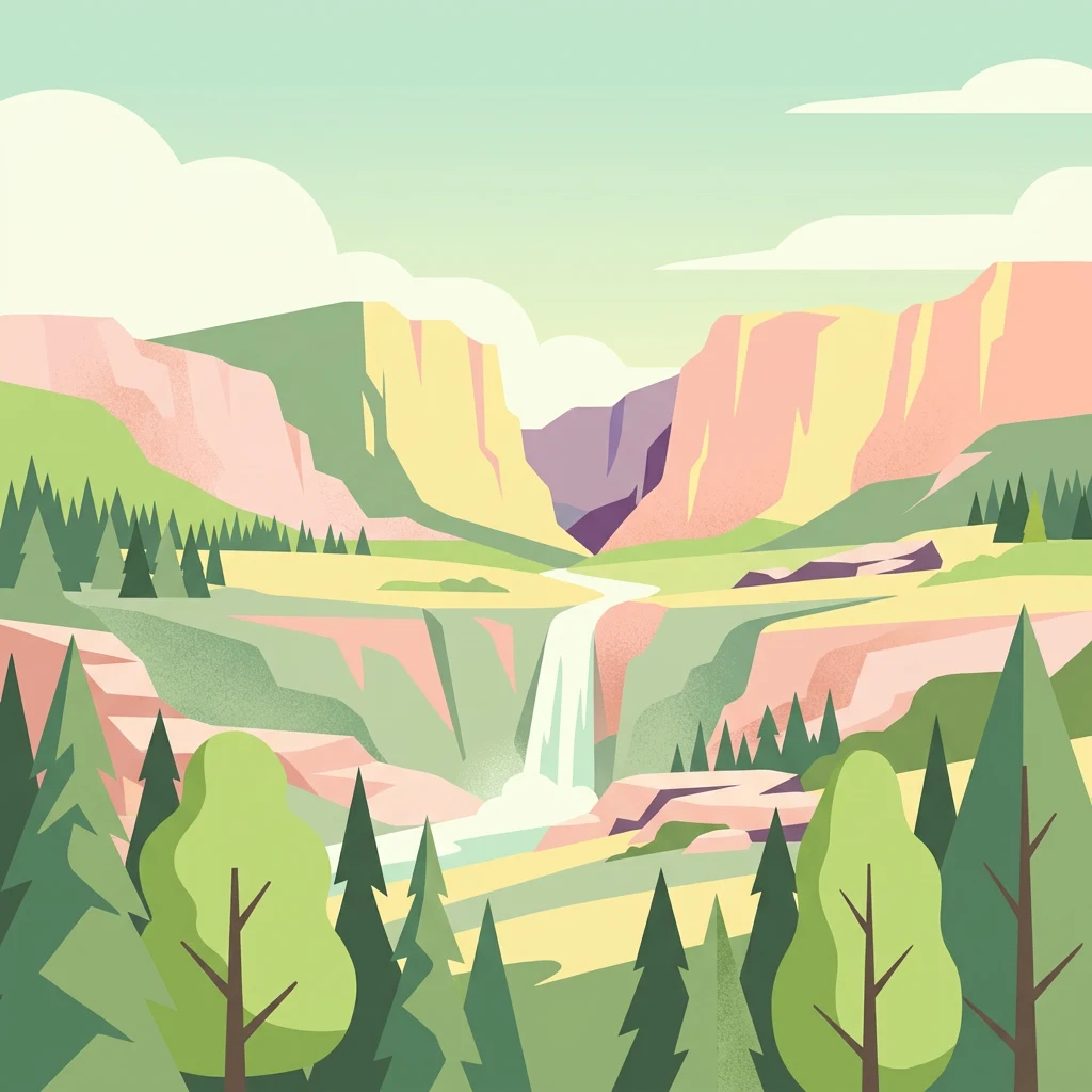
Primeval beech forests on the western slopes of the Carpathians
Uzh National Nature Park is a protected area in western Ukraine, situated in the Ukrainian Carpathian Mountains within Zakarpattia Oblast. The park straddles the border region near Poland and Slovakia, encompassing the valleys of the Uzh River and its tributaries, as well as the San River basin. Established in 1999, the park covers approximately 39,159 hectares of mountainous terrain characterized by pristine beech forests, alpine meadows, and diverse ecological zones. The park holds significant international recognition as a component of the UNESCO World Heritage site "Primeval Beech Forests of the Carpathians and Other Regions of Europe" and forms part of the East Carpathian Biosphere Reserve. Its ecological significance stems from the presence of ancient beech forests, exceptional biodiversity, and well-preserved natural landscapes that represent the Carpathian region's ecological character.
Administrative positioning within the Zakarpattia Oblast
Mapped protected area geometry and spatial measurements spanning 391.593 square kilometers
Mountain relief metrics and recorded natural geographic features
Waterfalls
2 m high
Waterfalls
5 m high
Peaks
987 m
Streams
Peaks
1,067 m
Forests
Temperate climate zones, forest cover, and mountain relief profiles
Mountains · Forest · Valleys · Grassland · Karst · Cave
Temperate broadleaf forest · Montane forest · Alpine meadow · Riverine habitat · Karst habitat
Discover related protected areas across the Carpathian Mountains, focusing on Ukraine, Poland, and Slovakia.
North

Explore mapped terrain, alpine meadows, and old-growth forests.
Bieszczady National Park, in Subcarpathian Voivodeship, Poland. Landscapes: mountains, forests, and woodlands.
East
Lviv Oblast geographic context and mapped terrain
Dive into the protected landscape of Boikivshchyna National Nature Park, a key national park located in Lviv Oblast. MoriAtlas facilitates structured discovery of its mapped boundaries, regional geography, and the unique natural terrain it encompasses. This entry is designed for users interested in the specific park identity, its geographic setting within Ukraine, and detailed atlas-based understanding of protected natural areas.
West
Mapped terrain and unique mountain meadows in Slovakia's Eastern Carpathians.
Delve into Poloniny National Park, a protected national park located in the Prešov Region of Slovakia. This entry focuses on the park's distinct protected landscape identity, featuring its extensive primeval beech forests that form part of a UNESCO World Heritage site, and its characteristic polonina meadows. Understand its geographic positioning within the Bukovské vrchy mountains and its role as a transboundary protected area, offering a unique lens for atlas-based discovery of Carpathian natural heritage.
West
Transboundary protected area and mountain ridge geography
The East Carpathian Biosphere Reserve represents a critical junction of mountain geography and protected-area cooperation. Spanning significant forest ecosystems and ridgelines in the Bieszczady mountains, this reserve functions as a continuous environmental corridor. Access detailed insights into its terrain, from high-altitude polonyna meadows to the dense beech forests that define its protected status.
Northwest
A vital Carpathian conservation corridor in Podkarpackie Voivodeship.
Spanning heavily forested peaks and deeply incised river gorges, Ciśniańsko-Wetliński Park Krajobrazowy functions as a core refuge for large carnivores and rare yew populations. Its distinct flysch geology and altitudinal vegetation sequences establish it as an essential component of the international Eastern Carpathians ecological network.
Northeast
Explore the mapped boundaries and regional geography of this Ukrainian national park.
Delve into the specifics of Skole Beskids National Nature Park, a designated national park contributing to Ukraine's protected lands. This detail page offers a structured atlas view, focusing on the park's geographic positioning, its mapped natural landscape features, and its significance within the regional context. Understand the core identity of this protected area through detailed geographic and landscape data, enabling focused map exploration.
North
Mapping natural boundaries in the Podkarpackie Voivodeship
Ostoja Góry Słonne represents a significant protected area within the Polish Carpathians, characterized by its dense beech forest cover and high biodiversity. This site serves as a vital refuge for large mammals and diverse riparian species, with its landscape of forested ridges and river valleys providing essential habitat connectivity across the Słonne Mountains and Przemyskie Foothills.
Northwest
Exploring Natura 2000 boundaries in Podkarpackie Voivodeship
The Ostoja Jaśliska protected area sits within the Beskid Niski range, offering a deep look into Carpathian beech forest communities and rare peatland habitats. The region holds nine distinct nature reserves and provides essential connectivity for apex predator populations. This geographic profile details the terrain and environmental importance of this expansive protected polygon in southeastern Poland.
MoriAtlas invites you to further investigate the distinct geographic identity and protected landscape features of Uzh National Nature Park. By examining its mapped context within the Ukrainian Carpathians, you can gain a deeper appreciation for its ecological significance and its role as a vital natural reserve. Continue your atlas exploration to understand the regional setting and the preservation efforts surrounding this remarkable natural area.