Mori Atlas logo
National parkUzh National Nature Park

Discover the mapped geography and ancient woodlands of this UNESCO World Heritage site in Ukraine.

Uzh National Nature Park: Primeval Beech Forests and Protected Carpathian Landscape

(Uzhanskyi National Nature Park)

Uzh National Nature Park stands as a significant protected area within Ukraine's Carpathian Mountains, encompassing approximately 39,159 hectares of diverse terrain. This national park preserves a remarkable expanse of primeval beech forests, many of which are recognized as part of a UNESCO World Heritage site and contribute to the East Carpathian Biosphere Reserve. Its mapped boundaries delineate a landscape shaped by river valleys and mountain slopes, offering a rich context for understanding the natural heritage of the Ukrainian Carpathians.

Primeval Beech ForestsCarpathian MountainsUNESCO World Heritage SiteOld-Growth ForestEastern CarpathiansNational Park
Stylized illustration of a mountainous landscape with a waterfall, forests, and colorful rock formations under a partly cloudy sky.

Uzh National Nature Park

National park

Park overview

Structured park overview, official facts, and landscape profile for Uzh National Nature Park

Uzh National Nature Park park facts, protected area profile, and essential visitor context
Review the core facts for Uzh National Nature Park, including designation, size, terrain, visitor scale, habitats, and operating context in one park-focused overview.

About Uzh National Nature Park

Uzh National Nature Park occupies a remarkable position in the Carpathian Mountains, protecting some of Europe's most significant old-growth forest ecosystems. The park's territory encompasses the valleys of the Uzh River and its tributaries flowing through the western slopes of the Carpathians, creating a complex mosaic of habitats ranging from valley floors to alpine meadows. The geological and topographical diversity has produced distinct ecological zones that support extraordinary biodiversity. The park was created specifically to protect the pristine beech forests of the Carpathians, representing a commitment to preserving one of Europe's most ecologically important woodland types. Its inclusion in the World Heritage site "Primeval Beech Forests of the Carpathians and Other Regions of Europe" recognizes the global significance of these ancient forests. The park also contains significant cultural heritage, with the Lemko ethnic group having inhabited these mountains for centuries, leaving behind wooden churches that stand as testaments to traditional craftsmanship and regional identity.

Quick facts and research context for Uzh National Nature Park

Uzh National Nature Park is located in the northwestern part of Zakarpattia Oblast in Ukraine, near the town of Velykyi Bereznyi. The park was established on August 5, 1999, covering an area of 39,159.3 hectares. The highest point within the park is Kinchyk Bukovskyi Mountain at 1,251 meters. The park features four distinct altitude zones, including beech forests, alder forests, and alpine meadows above 1,100 meters. It is part of the East Carpathian Biosphere Reserve and was inscribed as a UNESCO World Heritage site in 2007. The area is inhabited by the Lemko people, whose cultural presence is reflected in several historic wooden churches within the park boundaries.

Park context

Deeper park guide and search-rich context for Uzh National Nature Park

Uzh National Nature Park history, landscape, wildlife, and travel context
Explore Uzh National Nature Park through its history, landscape character, ecosystems, wildlife, conservation priorities, cultural context, and seasonal travel timing in a structured park guide built for atlas discovery and search intent.

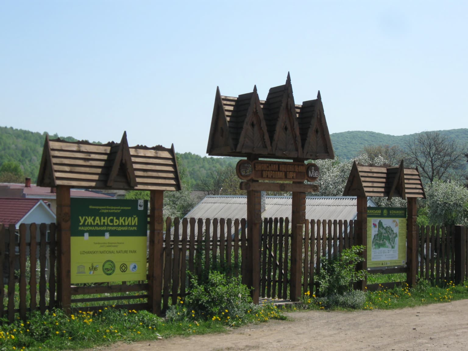
Why Uzh National Nature Park stands out

Uzh National Nature Park is renowned for its exceptional primeval beech forests, which constitute some of the most intact and ecologically significant woodland in the Carpathian region. The park contains over 3,000 hectares of ancient beech-fir-sycamore forests that were included in the UNESCO World Heritage listing. The Stuzhytsia area preserves the best example of the upper forest boundary in the Ukrainian Carpathians, featuring a distinctive beech forest krummholz with mountain ash and sycamore maple. The park is also notable for its exceptional biodiversity, with more than 1,500 plant species including 22 endemic vascular plants and 52 nationally protected species, of which 23 are orchids. The presence of six historic wooden churches from the 17th-18th centuries adds cultural significance to the natural landscape.

Green circular emblem with yellow stripes and a black-and-yellow salamander. Text in Ukrainian reads 'УЖАНСЬКИЙ НАЦІОНАЛЬНИЙ ПРИРОДНИЙ ПАРК'
Official emblem of Uzh National Nature Park featuring a salamander

Uzh National Nature Park history and protected-area timeline

The protection of Uzh National Nature Park's forests began over a century ago during the Austro-Hungarian period. In 1908, when Transcarpathia was part of the Austro-Hungarian Empire, a nature reserve was established in the upper valley of the Stuzhychanka River to protect the beech forest landscape, covering 331.8 hectares. In the same year, a smaller forest reserve of 14.9 hectares was created in the upper valley of the Uzh River. Following the end of World War I, Transcarpathia became part of Czechoslovakia from 1919 to 1938, during which time both reserves were considerably expanded in area. An additional reserve was established on Yavirnyk Mountain during this period. After World War II, the region became part of the Soviet Union, and the area experienced periods of neglect and intensive timber production. In 1974, during the Soviet era, the Stuzhytsia Forest Landscape Reserve was established with an area of 2,542 hectares. This protected area was upgraded to a regional landscape park in 1995, and finally elevated to national nature park status in 1999. In 2019, the park's territory was expanded by 6,988 hectares through the incorporation of land from the state enterprise "Velykyi Bereznyi Forestry."

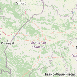
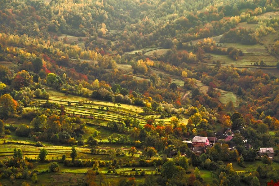
Uzh National Nature Park landscape and geographic character

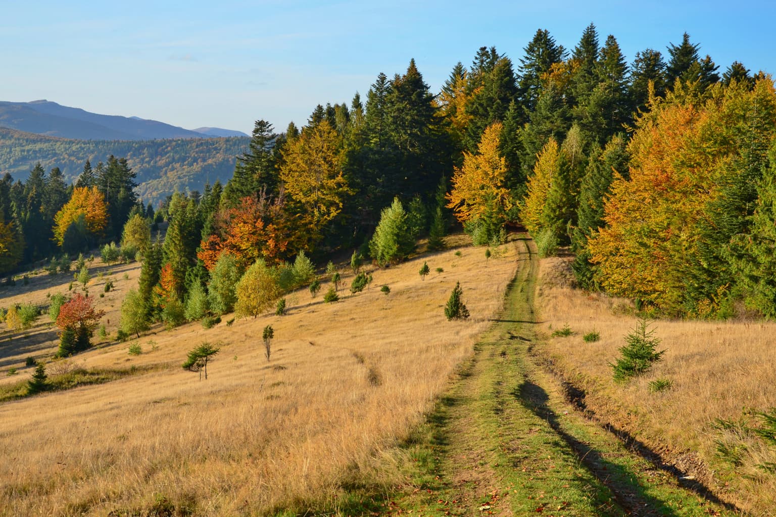
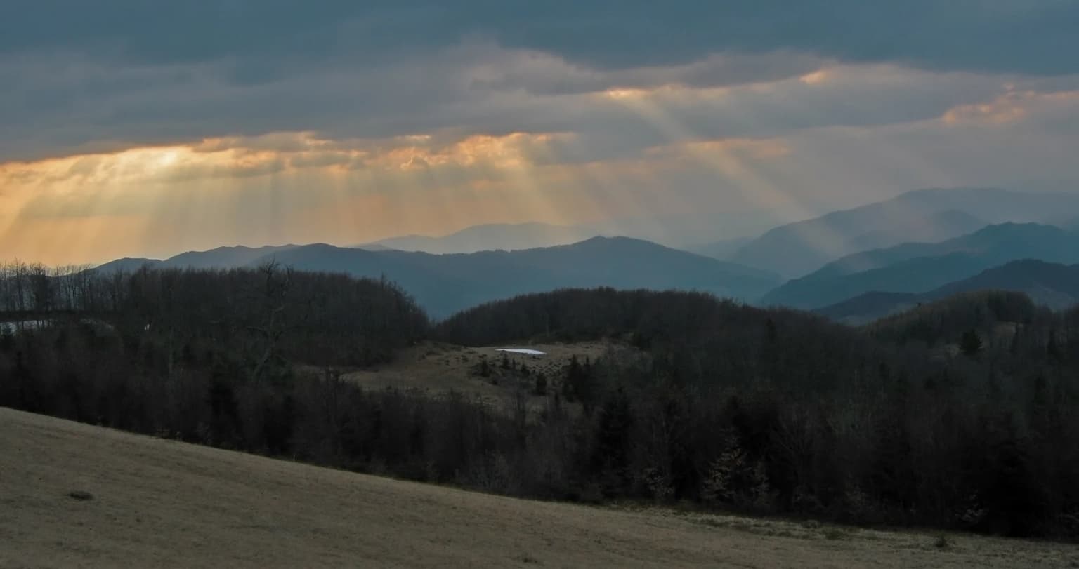
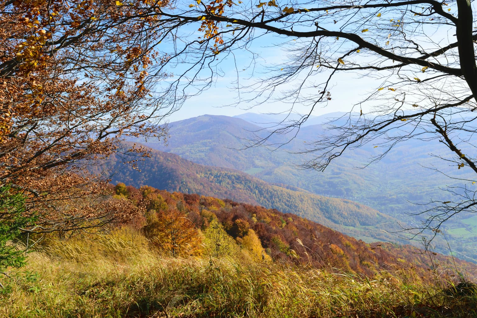
The landscape of Uzh National Nature Park is defined by its position on the western slopes of the Carpathian Mountains, where the terrain rises from valley floors to mountain peaks exceeding 1,200 meters. The park's highest point, Kinchyk Bukovskyi Mountain, reaches 1,251 meters and provides panoramic views of the surrounding Carpathian ridges. The park encompasses the valleys of the Uzh River and its tributaries, as well as portions of the San River basin, creating a network of watercourses that have shaped the local terrain over millennia. The topography supports four distinct altitude zones, with beech forests dominating the lower slopes, alder forests in wetter valley areas, and alpine meadows appearing above 1,100 meters elevation. The Stuzhytsia area within the park preserves the most intact upper forest boundary in the Ukrainian Carpathians, where beech trees adopt a krummholz form, their trunks curving along the ground before producing upright branches that create a distinctive twisted canopy. The park also contains notable geological features, including karst caves near the village of Knyahynia and the site of the Knyahynia meteorite fall, the largest in Europe.

A grassy trail winding through a forested hillside with autumn-colored trees and distant mountains under a clear blue sky
Beech forests on the slopes of the Watershed Ridge in Uzh National Nature Park

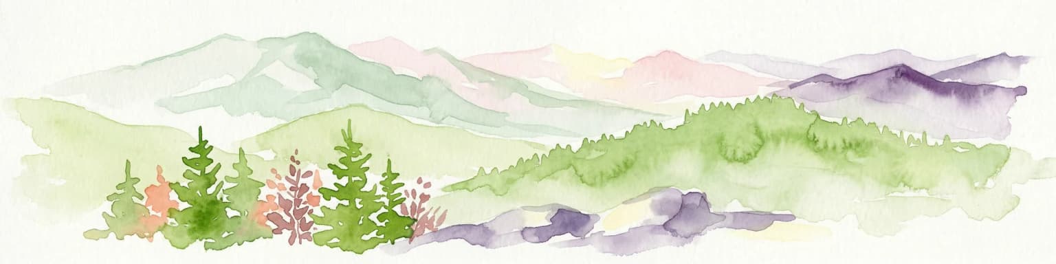
Uzh National Nature Park ecosystems, habitats, and plant life

The ecological systems within Uzh National Nature Park represent some of the most biodiverse and well-preserved habitats in the Carpathian region. The park supports over 1,500 species of plants, with approximately 22 species of vascular plants being endemic to the area and 52 species protected at the national level, including 23 orchid species. The ancient beech forests, particularly those in the Stuzhytsia area, constitute the core of the park's ecological significance, representing primeval forest ecosystems that have developed over centuries without significant human disturbance. These forests are characterized by giant beech trees whose lower trunks sprawl along the ground for one to one and a half meters before sending up vertically oriented branches, creating a distinctive growth form known as krummholz. The upper forest boundary zone, occurring at elevations between 1,200 and 1,280 meters, features dense undergrowth of raspberry that often forms impenetrable thickets. Above this zone, subalpine meadows (poloniny) occur on summit slopes. The park also contains over 15 mineral springs, adding to its ecological diversity.

Wide landscape view of hilly terrain with forested areas, agricultural fields, and small houses
Rolling hills covered in mixed forest and agricultural fields with scattered houses in the valley

Uzh National Nature Park wildlife and species highlights

The wildlife populations of Uzh National Nature Park reflect the Carpathian region's ecological richness and the park's diverse habitats. The park is home to several species of large mammals, including red deer, roe deer, wild boar, red fox, and badger, which inhabit the forests and meadows throughout the protected area. The bird population is particularly notable, with 114 species recorded within the park boundaries. These include numerous species associated with old-growth forests, as well as species that inhabit the alpine meadows and rocky areas at higher elevations. The protected status of the park provides crucial habitat for species that have declined in surrounding areas due to forest fragmentation and human disturbance. The presence of ancient trees with hollows and decay provides nesting sites for cavity-nesting birds and shelter for various mammal species.

Sunlight rays breaking through clouds over a mountainous landscape with forested hills and open fields.
Sunlight rays breaking through clouds over the mountainous terrain of Uzh National Nature Park.

Uzh National Nature Park conservation status and protection priorities

Uzh National Nature Park holds significant conservation importance at both national and international levels. Its inclusion in the UNESCO World Heritage site "Primeval Beech Forests of the Carpathians and Other Regions of Europe" since 2007 recognizes the global significance of its ancient forest ecosystems. The park is also an integral component of the East Carpathian Biosphere Reserve, the world's first trilateral Ukrainian-Polish-Slovak biosphere reserve, which is part of UNESCO's World Network of Biosphere Reserves. However, the park has faced significant conservation challenges. Reports indicate that illegal logging has occurred within the park, particularly in areas designated as buffer zones of the World Heritage site. Investigative findings have documented harvesting volumes significantly exceeding official limits. Despite these challenges, the park continues to protect significant tracts of primeval forest and serves as a crucial conservation area for Carpathian biodiversity.

Uzh National Nature Park cultural meaning and human context

The cultural landscape of Uzh National Nature Park is deeply shaped by the presence of the Lemko people, an ethnic group indigenous to the Carpathian region. The park territory is populated by Lemkos, whose cultural influence is prominently displayed through architecture, particularly the six wooden churches from the 17th and 18th centuries that survive within the park boundaries. These churches represent masterpieces of folk architecture and are protected as cultural heritage sites. The traditional settlement patterns and land use practices of the Lemkos have contributed to the cultural character of the landscape over centuries. The park is also home to traditional villages where local communities maintain connections to the land and its resources. This human presence adds cultural depth to the natural landscape, creating a living cultural landscape where traditional practices and natural ecosystems coexist.

Autumnal forest landscape with rolling mountain ranges under a clear blue sky, viewed from an elevated position with tree branches in the foreground
View from Golyan Mountain in Uzh National Nature Park showcasing autumn foliage and mountain ranges

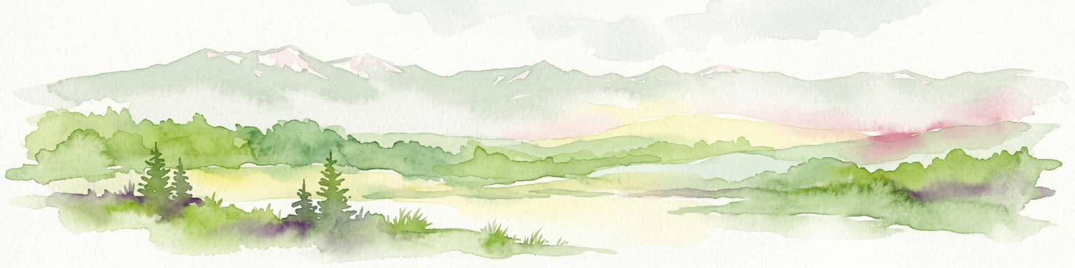
Top sights and standout views in Uzh National Nature Park

Uzh National Nature Park protects the most significant primeval beech forests in the Ukrainian Carpathians, representing ecosystems of global importance recognized by UNESCO World Heritage status. The Stuzhytsia area preserves the finest example of the upper forest boundary in the region, where beech trees form distinctive krummholz at elevations between 1,200 and 1,280 meters. The park contains exceptional biodiversity with over 1,500 plant species, including 52 nationally protected species and 23 orchid species. Its location at the crossroads of Ukraine, Poland, and Slovakia places it within the first trilateral biosphere reserve in the world. The six historic wooden churches of the Lemko people add cultural dimension to the natural landscape. Seventeen marked trails provide access for visitors to explore the park's diverse landscapes, from valley forests to alpine meadows.

Wooden entrance sign structure with triangular roofs and informational signs at Uzh National Nature Park
Entrance signage to Uzh National Nature Park with wooden structures and informational boards

Best time to visit Uzh National Nature Park

The best time to visit Uzh National Nature Park depends on the experience sought. Summer months from June to August offer warm conditions ideal for hiking the numerous trails, with alpine meadows in full bloom and wildlife most active. Autumn provides spectacular displays of forest colors as beech trees change, with September and October offering pleasant temperatures and fewer visitors. Winter transforms the park into a snowy landscape, with the Carpathian mountains covered in snow and temperatures dropping below freezing, suitable for those interested in winter landscapes though some trails may be inaccessible. Spring brings the renewal of vegetation and is particularly rewarding for botanical interests, though conditions can be variable. The climate is temperate with annual rainfall around 900 millimeters, so visitors should be prepared for changeable weather regardless of season.

Park location guide

Geography guide, regional context, and park location map for Uzh National Nature Park

Uzh National Nature Park park geography, regions, and map view in Ukraine
Understand where Uzh National Nature Park sits in Ukraine through a broader geographic reading of the surrounding landscape, nearby location context, and its mapped position within the national park landscape.

How Uzh National Nature Park fits into Ukraine

Ukraine is a sovereign nation in Eastern Europe, bordered by Russia, Belarus, Poland, Slovakia, Hungary, Romania, Moldova, and the Black Sea. It is the second-largest country in Europe by area. Kyiv is the capital and largest city, followed by Kharkiv, Odesa, and Dnipro. The official language is Ukrainian. Ukraine has a population of approximately 32.9 million and operates as a unitary semi-presidential republic.

Wider geography shaping Uzh National Nature Park in Ukraine

Ukraine occupies 603,628 km² in Eastern Europe, making it the second-largest country in Europe. It shares borders with Russia, Belarus, Poland, Slovakia, Hungary, Romania, and Moldova. The country has a southern coastline along the Black Sea and Sea of Azov. The terrain includes plains, steppes, and the Carpathian Mountains in the west.

Map view of Uzh National Nature Park

Use this park location map to pinpoint Uzh National Nature Park in Ukraine, understand its exact geographic position, and read its mapped placement within the surrounding landscape more clearly.

Pigeon | © OpenStreetMap contributors

Location context for Uzh National Nature Park

Zakarpattia Oblast

Visually explore primeval beech forests, alpine meadows, and diverse habitats, understanding the park's distinctive landscape character.

Uzh National Nature Park Photos, Landscapes, and Scenery: Visual Exploration
View comprehensive photos of Uzh National Nature Park to understand its unique Carpathian landscapes, ancient beech forests, and varied habitats. Examine park scenery, terrain, and conservation efforts through imagery that illuminates the ecological character of this vital protected area.

Green circular emblem with yellow stripes and a black-and-yellow salamander. Text in Ukrainian reads 'УЖАНСЬКИЙ НАЦІОНАЛЬНИЙ ПРИРОДНИЙ ПАРК'

Mountain landscape with dense evergreen forests, rocky outcrops, and distant peaks under a partly cloudy sky.

A grassy trail winding through a forested hillside with autumn-colored trees and distant mountains under a clear blue sky

Wide landscape view of hilly terrain with forested areas, agricultural fields, and small houses

Sunlight rays breaking through clouds over a mountainous landscape with forested hills and open fields.

A lightning bolt strikes over a mountainous landscape with green forests and rolling hills under a dark stormy sky

Autumnal forest landscape with rolling mountain ranges under a clear blue sky, viewed from an elevated position with tree branches in the foreground

Wooden entrance sign structure with triangular roofs and informational signs at Uzh National Nature Park

Yellow signpost with two black directional signs reading 'Ужанський національний природний парк' and 'Природний парк' under a small roof, set in a grassy field with forest and hills in the background

Large oak tree with thick trunk and extensive branches, wooden fence, dirt path, and small building on grassy hillside

Grassy hillside with patches of green vegetation, forested areas on both sides, and a mountain range under a partly cloudy sky

Park atlas

Discover related protected areas across the Carpathian Mountains, focusing on Ukraine, Poland, and Slovakia.

Explore Nearby National Parks and Protected Areas around Uzh National Nature Park
Browse other national parks and protected areas located near Uzh National Nature Park, including landscapes within the Ukrainian Carpathian Mountains and adjacent border regions. Deepen your geographic understanding by comparing varied protected landscapes, discovering ecological connections, and tracing the wider network of conservation areas.
Watercolor illustration of green and purple mountains with pine trees and flowering shrubs in the foreground
National parkLviv Oblast

Boikivshchyna National Nature Park: National Park Protected Landscape Exploration

Lviv Oblast geographic context and mapped terrain

Dive into the protected landscape of Boikivshchyna National Nature Park, a key national park located in Lviv Oblast. MoriAtlas facilitates structured discovery of its mapped boundaries, regional geography, and the unique natural terrain it encompasses. This entry is designed for users interested in the specific park identity, its geographic setting within Ukraine, and detailed atlas-based understanding of protected natural areas.

Area
317 km²
Established
2019
IUCN
II
Relief
Mountain
National parkSubcarpathian Voivodeship

Bieszczady National Park: A Protected Landscape of the Eastern Carpathians

Explore mapped terrain, alpine meadows, and old-growth forests.

Discover Bieszczady National Park, a significant national park located in the Subcarpathian Voivodeship of Poland, within the Eastern Carpathian mountain range. This protected area is renowned for its vast expanses of old-growth beech forests, the characteristic połoniny alpine meadows, and its status as a UNESCO World Heritage Site, underscoring its global conservation importance. The park's wild character and dramatic mountain geography make it a key destination for atlas-driven exploration of protected landscapes.

Area
292.02 km²
Established
1973
IUCN
II
Relief
Mountain
National parkUkraine

Skole Beskids National Nature Park: Protected Landscape Atlas and Geographic Context in Ukraine

Explore the mapped boundaries and regional geography of this Ukrainian national park.

Delve into the specifics of Skole Beskids National Nature Park, a designated national park contributing to Ukraine's protected lands. This detail page offers a structured atlas view, focusing on the park's geographic positioning, its mapped natural landscape features, and its significance within the regional context. Understand the core identity of this protected area through detailed geographic and landscape data, enabling focused map exploration.

Area
357 km²
Established
1999
IUCN
II
Relief
Mountain
National parkZakarpattia Oblast

Zacharovanyi Krai National Nature Park: Protected Landscape Atlas Entry

National park within Zakarpattia Oblast, Ukraine

Navigate Zacharovanyi Krai National Nature Park, a designated national park offering vital insights into protected landscapes and regional geography. This entry provides core information about the park's protected area status and its geographic setting within Zakarpattia Oblast, essential for structured atlas discovery and understanding the mapped natural terrain of western Ukraine.

Area
61.01 km²
Established
2009
IUCN
II
Relief
Mountain
National parkZakarpattia Oblast

Synevyr National Nature Park: National Park Protected Landscape in Zakarpattia Oblast

Mapped geographic context and protected area identity

Delve into Synevyr National Nature Park, a designated national park situated in the diverse geography of Zakarpattia Oblast, Ukraine. This page provides essential atlas-driven context, detailing the park's mapped boundaries and its significance as a protected landscape within the Carpathian region. Understand its unique place in Ukraine's network of natural areas and explore its regional geographic setting for a comprehensive overview.

Area
404 km²
Established
1974
Relief
Mountain
Climate
Temperate
Watercolor illustration showing a landscape with rolling hills, green trees, and distant mountains under a light sky
National parkSubcarpathian Voivodeship

Magura National Park: Mapped Protected Landscape & Carpathian Geography Atlas

Explore unique sandstone formations and mapped natural terrain.

Magura National Park, located in the Subcarpathian Voivodeship of Poland, offers a rich focus for protected-area exploration and geographic discovery. This national park is distinguished by its dramatic sandstone rock formations, forested Carpathian ridges, and its ecological importance as a transitional zone. Users engaging with Magura National Park can examine its mapped boundaries, understand its specific landscape context, and appreciate its role within the broader regional geography.

Area
194.39 km²
Established
1995
IUCN
II
Visitors
40K annual
National parkIvano-Frankivsk Oblast

Syniohora National Nature Park: Protected Carpathian Landscape and Geographic Context

Explore the mapped terrain and protected area boundaries within the Gorgany mountains.

Syniohora National Nature Park, located in Ivano-Frankivsk Oblast, is a vital protected area safeguarding a significant portion of the Gorgany mountain massif. This park offers a unique opportunity to explore the mapped geography and natural landscape characteristic of the Ukrainian Carpathians. Its establishment as a national park underscores the importance of preserving the region's mountain terrain, protected forest ecosystems, and distinctive natural heritage for structured geographic discovery.

Area
108.66 km²
Established
2009
IUCN
II
Scope
Terrestrial
National parkLviv Oblast

Yavoriv National Nature Park: Protected Landscape and Regional Geography in Lviv Oblast

Mapped protected area boundaries and natural terrain context.

Yavoriv National Nature Park is a designated national park within Lviv Oblast, Ukraine. This page provides detailed geographic information, focusing on the park's protected landscape identity and its mapped terrain. Understanding its location in Western Ukraine, near the Carpathian gateway, offers valuable context for atlas-based exploration of protected areas and natural features within the region.

Area
71.08 km²
Established
1998
IUCN
II
Relief
Highland

Common questions about visiting, size, designation, and location context for Uzh National Nature Park

Uzh National Nature Park FAQs for park facts, access, geography, and protected area context
Find quick answers about Uzh National Nature Park, including protected-area facts, park geography, trail and visitor context, and how the park fits into its surrounding country and regional landscape.
MoriAtlas Explorer

Continue Your Protected Areas Search Across the Global Atlas

Deepen your exploration by continuing the structured search for national parks and protected areas worldwide. Utilize the comprehensive filtering capabilities to compare different conservation landscapes and refine your understanding of global park geography. Discover more about the distribution and characteristics of protected natural areas.

Global natural geography