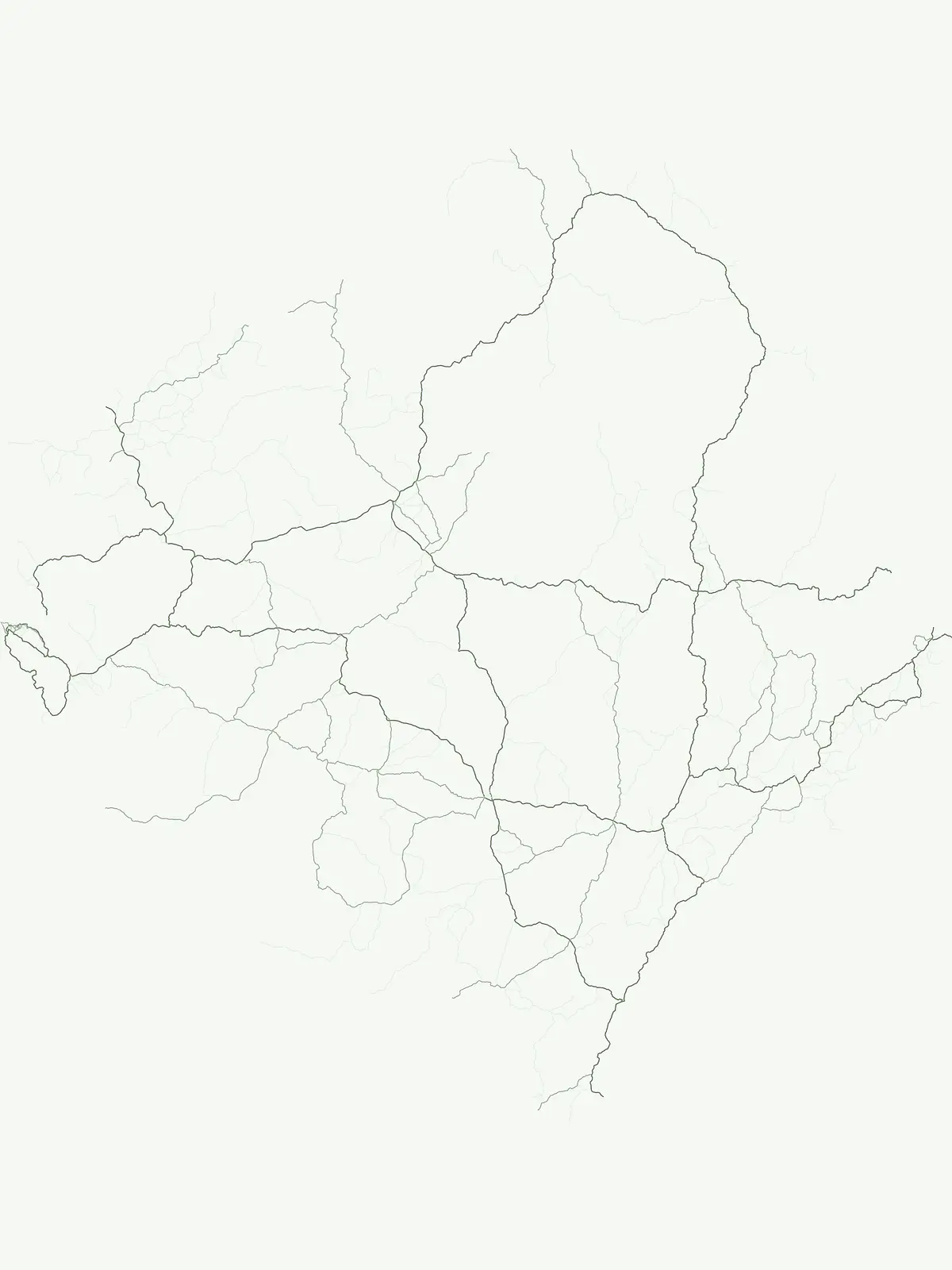
Discover the distribution and geographic context of Sierra Leone's national park designations.
National Parks in Sierra Leone: Explore Protected Landscapes and Country Geography
Sierra Leone's national parks represent a significant designation within its protected areas network, vital for landscape conservation and biodiversity recognition. This page serves as a country-specific index for these nationally important protected areas, offering insights into their geographic spread and regional context. Users can explore the mapped boundaries and natural landscape features that define these key conservation sites within Sierra Leone's diverse geography.
Discover West Africa's designated national parks across Sierra Leone's diverse coastal and forested geography.
Sierra Leone's National Parks: Explore Key Protected Areas and Flagship Conservation Landscapes
Browse Sierra Leone's nationally recognized parks, encompassing significant forest conservation areas like Gola Rainforest and coastal habitats within the Western Area Peninsula National Park. Trace the mapped geography of these protected landscapes, understanding their vital role in preserving West African biodiversity, primate habitats, and important bird areas across the nation.
Explore National Parks in Sierra Leone: A Comprehensive Park Atlas
Explore the full list of National parks within Sierra Leone, offering a focused view of the country's flagship protected areas. This curated selection allows users to compare their regional distribution and understand their significant role in West African forest conservation.
National parkEastern Province
Gola Rainforest National Park
Explore mapped boundaries and biodiversity in Eastern Province's vast tropical rainforest.
Gola Rainforest National Park, in Sierra Leone. Landscapes: forests.
Investigate Outamba-Kilimi National Park as a protected area, examining its geographic footprint and significance within Sierra Leone's natural landscapes. This detailed entry provides context on the park's mapped boundaries and its contribution to regional geography, serving as a key point for atlas-based exploration of conservation lands in the Karene District.
Mapped terrain, forest boundaries, and regional watershed geography
Discover the geographic identity of Western Area Peninsula National Park, a key protected area situated along the coast of Sierra Leone. This record details the park's dense tropical forest canopy, steep slopes, and vital role in watershed management across the peninsula, offering a clear view of its natural boundaries.
More designation routesTrace the geographic distribution and defining conservation attributes of Sierra Leone's National Park designation across its varied terrain.1
Sierra Leone's National Park Designations: Exploring the Country's Protected Areas
Browse a detailed atlas of Sierra Leone's National Park designation, encompassing the country's primary protected areas and their specific geographic locations. This focused view helps users understand the integral role of national parks within Sierra Leone's overall conservation landscape and regional park distribution.
Mapped natural sites and protected terrain
Protected area
25%
Access a structured index of protected area sites located throughout Sierra Leone. This geographic resource focuses on the regional distribution of natural lands, providing essential data for those studying the country's protected topography and ecological landscape boundaries.