Mori Atlas logo
Country parks

Discover the distribution of protected lands and natural reserves across Taiwan's islands and terrain.

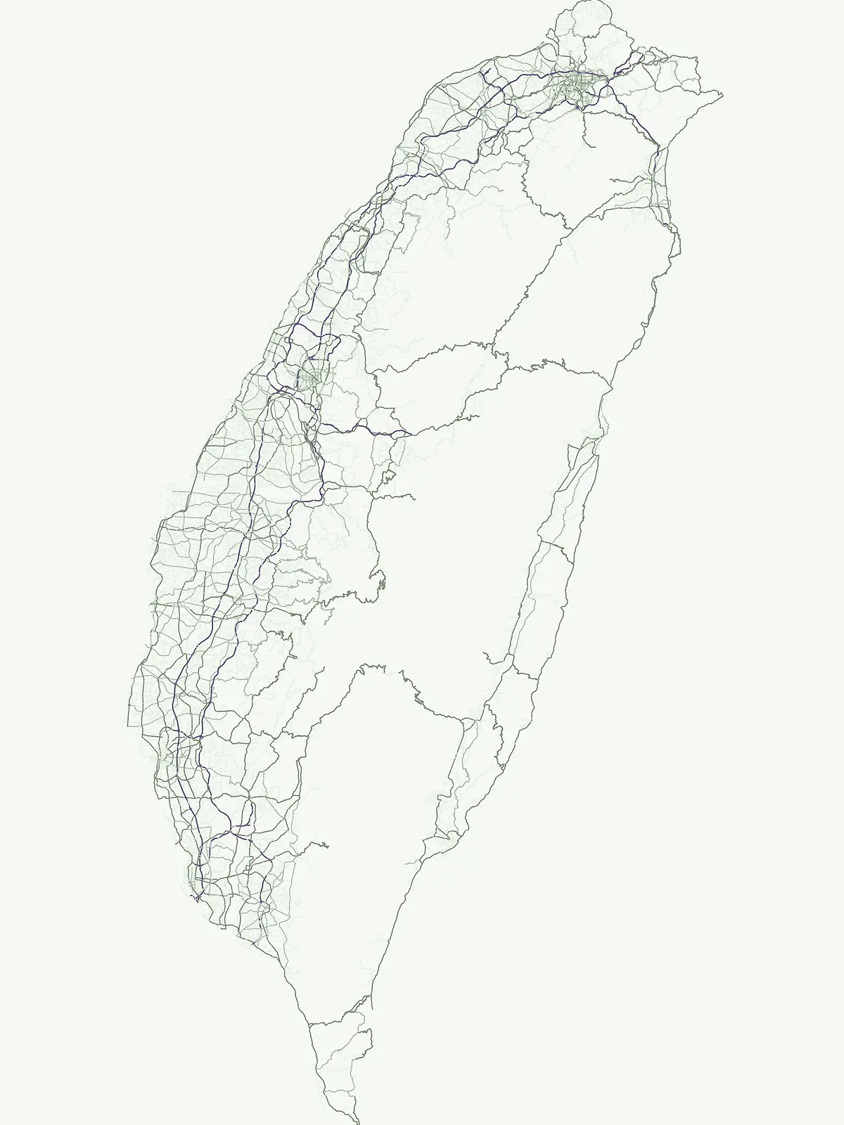
Taiwan National Parks and Protected Areas: Browse Taiwan's Mapped Landscapes and Geography

Begin your exploration of Taiwan's protected natural areas, focusing on their geographic placement and landscape context. This atlas-style view allows for detailed browsing of national parks and other significant reserves, highlighting their distribution across Taiwan's diverse terrain and island geography. Understand the scope of conservation across the nation through a structured, map-oriented approach to Taiwan's natural heritage.

Taiwan National Parks and Protected Areas: Browse Taiwan's Mapped Landscapes and Geography

Trace Taiwan's diverse protected landscapes, from alpine mountain ranges to vital marine conservation zones, across the entire island nation.

Explore Taiwan's National Parks and Protected Areas: A Comprehensive Country-Wide List

Explore a comprehensive index of national parks, nature reserves, and various protected areas spanning Taiwan's distinct eastern mountain ranges and vital coastal regions. Reviewing the full country park list offers invaluable geographic context, revealing the distribution and diversity of Taiwan's conservation landscapes, from alpine environments to critical marine habitats.

Showing 1 to 10 of 10 parks

National parkPingtung CountyMarineMountain

Kenting National Park

Mapped geography and regional context for this protected area.

Kenting National Park is a crucial protected area located in Pingtung County, Taiwan, representing a significant component of the nation's protected lands. This page provides detailed information ideal for atlas-driven exploration, focusing on the park's mapped geographic features, its role as a national park, and its contribution to understanding Taiwan's diverse landscapes. Discover the unique identity of Kenting National Park as a key element in regional conservation and geographic study.

333 km²1984TropicalEasy access

National parkNantou CountyMountain

Yushan National Park

Mapped geography and dramatic peaks within Nantou County.

Yushan National Park is a crucial protected area in Taiwan, renowned for encompassing the island's highest mountain and a significant portion of the Central Mountain Range. This national park's dramatic geography spans over 103,000 hectares, with two-thirds of its territory lying above 2,000 meters. Its vertical ecological zones, from subtropical forests to alpine environments, offer a rich tapestry of landscapes ideal for atlas-style exploration of protected terrain and mountain peak geography.

1,031.21 km²1985AlpineModerate access
National parkTaiwan

Yangmingshan National Park

Explore Taiwan's protected national park geography and mapped landscapes.

Yangmingshan National Park presents a striking example of volcanic geography, characterized by its rugged mountain terrain, active craters like Xiaoyoukeng, and ubiquitous geothermal features such as hot springs and sulfur deposits. As a protected national park within Taiwan, its landscape offers a rich context for understanding volcanic processes and alpine ecosystems. MoriAtlas provides detailed map exploration of Yangmingshan National Park, highlighting its unique geological formations and protected boundaries for an in-depth geographic discovery experience.

113 km²1985II
National parkHualien CountyMountain

Taroko National Park

Explore mapped boundaries and natural terrain in Hualien County.

Taroko National Park represents a significant protected landscape within Taiwan, offering rich opportunities for geographical exploration and understanding protected-area distribution. As a designated national park, its mapped boundaries and unique terrain provide essential context for appreciating the natural geography of Hualien County and the surrounding region. This page supports detailed discovery of Taroko National Park's identity as a distinct protected area, ideal for atlas-based research and landscape comprehension.

920 km²1986SubtropicalModerate access
National parkMiaoli CountyMountain

Shei-Pa National Park

Mapped geographic boundaries and regional park context.

Shei-Pa National Park is a vital protected area in Miaoli County, Taiwan, offering rich opportunities for geographic and atlas-based exploration. Delve into the specifics of its mapped park boundaries and understand its role within the broader regional landscape. This destination provides essential context for discovering Taiwan's protected natural areas and their unique geographic characteristics.

768.5 km²1992SubtropicalModerate access
National parkTaiwanMarine

Dongsha Atoll National Park

Explore mapped marine geography and vital seagrass ecosystems.

Dongsha Atoll National Park is a protected coral atoll in Taiwan, situated in the northern South China Sea. This national park is distinguished by its circular atoll structure, encompassing extensive shallow reef systems and vital seagrass beds. Its marine geography is central to its identity, supporting diverse aquatic life and serving as a crucial protected landscape for regional ecological connectivity. Users can delve into the mapped context and distinct protected-area characteristics of this unique atoll.

3,537 km²2007TropicalHighly restricted
National parkKinmen County

Kinmen National Park

Mapped boundaries and regional park geography for atlas exploration.

Kinmen National Park stands as a significant protected area within Kinmen County, Taiwan. This page focuses on its identity as a national park, detailing its mapped boundaries and contributing to an understanding of its regional geographic context. It is designed for users seeking to explore the park's protected landscape features and its position within the broader atlas of natural areas.

35.29 km²1995SubtropicalModerate access
National parkTainanMarine

Taijiang National Park

Discover mapped boundaries and regional geography.

Taijiang National Park offers a distinct look into protected natural landscapes within Tainan, Taiwan. This page details its identity as a national park, focusing on its mapped geographic features and its contribution to the regional atlas. Users can explore the specific protected area context and understand the landscape characteristics relevant to a structured geographic discovery approach.

393.1 km²2009IIMajor water bodies
National parkTaiwanMarine

South Penghu Marine National Park

Mapped marine protected areas and unique geological features.

Discover the unique atlas value of South Penghu Marine National Park, Taiwan's protected national park renowned for its dramatic columnar basalt landforms and extensive coral reef systems. This marine protected area provides critical habitat for diverse species and showcases a rugged island geography shaped by volcanic activity. Explore its mapped boundaries and unique geological formations, including famous sea caves, offering a distinct context for landscape discovery.

358.44 km²2014SubtropicalModerate access
Nature reserveTaiwan

Shoushan National Nature Park

Taiwan's protected nature reserve with distinct geographic features.

Shoushan National Nature Park is identified as a protected nature reserve, providing a focal point for exploring Taiwan's natural geography. This page offers insights into its specific landscape character and mapped protected boundaries, situating it within the broader context of the island's natural terrain. Discover the atlas-level details of this reserve and its role in regional conservation landscapes.

Other countries

Trace the geographic spread of national parks and compare protected landscapes across neighboring East Asian countries and the broader atlas.

Discover National Parks and Protected Areas in Other Countries Near Taiwan

After exploring Taiwan's unique island national parks and marine protected areas, expand your discovery to browse similar conservation landscapes and mountain parks in other East Asian countries. This country-level atlas view helps compare diverse regional park geography, tracing the spread of protected forests and coastal environments across the broader geographic context.

Philippines National Parks and Protected Areas: Geographic Discovery Atlas

Navigate the diverse geography of the Philippines with this atlas focused on national parks and protected areas. Understand the distribution of protected lands across the Philippine archipelago, from Luzon to Mindanao. This resource facilitates a deeper appreciation of the country's natural terrain and mapped conservation areas, offering a structured way to explore its significant protected landscapes.

87 parks

China National Parks and Protected Areas: Geographic Atlas Exploration

Access a structured overview of China's national parks and protected areas. This geographic atlas entry provides essential context for understanding the distribution and landscape features of protected natural areas throughout the country, supporting detailed map exploration and regional geographic research.

34 parks

Explore Vietnam's National Parks and Protected Landscapes on the Atlas

Access a structured view of Vietnam's national parks and protected areas, providing essential geographic context for each mapped region. This atlas resource details the distribution of protected lands across the country, from the northern highlands to the Mekong Delta, highlighting their significance within Vietnam's natural terrain and broader Southeast Asian geography. Understand the scope of conservation efforts through detailed landscape maps.

31 parks

South Korea National Parks and Protected Landscapes: Geographic Discovery

Delve into the protected lands of South Korea, understanding their geographic placement and ecological context. This section of the atlas provides a comprehensive view of national parks and conservation areas, enabling users to explore the country's natural terrain and landscape patterns. It serves as a gateway to understanding the nation's commitment to conservation through structured geographic data and map exploration.

21 parks

Cambodia National Parks and Protected Areas: Browse Mapped Landscapes and Geography

Investigate the national parks and protected areas within Cambodia, offering a detailed look at their mapped boundaries and regional geographic settings. This resource facilitates an atlas-style understanding of conservation landscapes, from tropical forests to mountainous terrains, within the Kingdom of Cambodia and the wider Southeast Asian context.

12 parks

Jordan's National Parks and Protected Landscapes: A Geographic Atlas

Access a comprehensive atlas view of Jordan's national parks and protected areas. This resource details the geographic spread and boundaries of conservation lands, providing context for regional exploration and understanding the natural terrain. It is an ideal starting point for anyone interested in the mapped distribution of protected landscapes within Jordan.

8 parks

Laos National Parks and Protected Areas: A Geographic Atlas and Map Explorer

Examine the distribution of national parks and protected areas throughout Laos. This resource provides a structured look at the country natural terrain, mapping essential conservation regions such as biodiversity corridors, wetland systems, and mountainous forest environments for geographic exploration.

8 parks

North Korea's National Parks and Protected Areas: A Geographic Atlas Exploration

Navigate the protected natural areas of North Korea using a geography-focused atlas. This exploration tool highlights the geographic distribution of national parks and other protected lands, providing mapped context for their location and regional significance. Understand the natural terrain and landscape features that characterize these important conservation areas within East Asia.

1 park

Protected area types

Continue Exploring Taiwan's Park Designation Categories and Geography

Deepen your understanding of Taiwan's protected areas by exploring individual designation categories in detail. This pathway allows for granular study of park geography, mapped boundaries, and the classification system that organizes the island's significant natural landscapes. Continue your atlas exploration to uncover the full scope of conservation across Taiwan's diverse terrain.

Taiwan Protected Area Designations
MoriAtlas Explorer

Continue Exploring Taiwan's Protected Area Geography and Landscape Filters

Deepen your understanding of Taiwan's protected territories by continuing to search and filter its diverse national parks and natural landscapes. This route provides detailed comparison tools for discovering the unique geography and environmental traits of each protected area within the island nation. Utilize these structured discovery features to build a comprehensive atlas of Taiwan's natural heritage.

Global natural geography