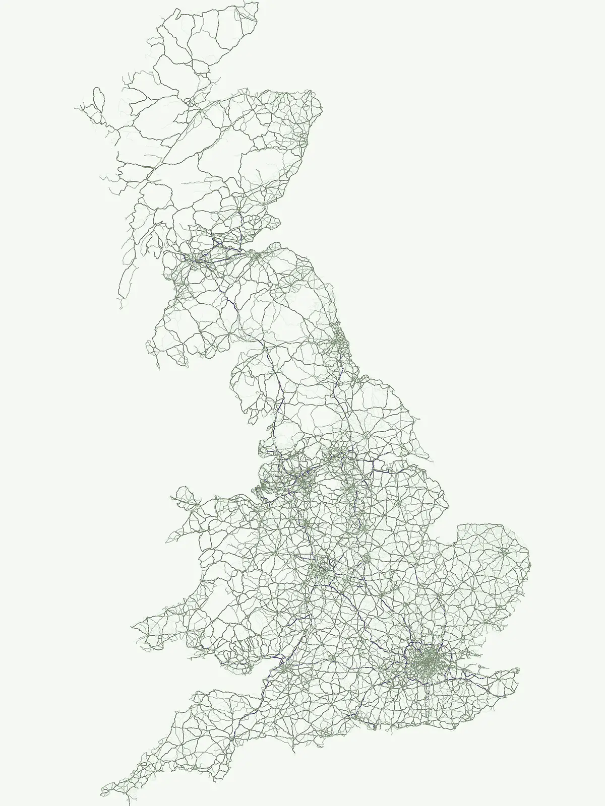
Analyzing large-area conservation systems and integrated land management across British geography
Biosphere Reserve Protected Landscapes and Ecological Stewardship Regions in the United Kingdom
This geographic collection documents Biosphere reserves in the United Kingdom, focusing on regions defined by their ecological stewardship, research, and sustainable land use. These territories represent strategic conservation systems where human activity and natural environments are managed in coordination. Browse the atlas to understand the distribution, boundaries, and landscape context of these significant protected areas across the British Isles.
Mapping large scale conservation territories and sustainable regional landscapes across Britain
Biosphere Reserve Protection and Ecological Stewardship in the United Kingdom
Biosphere reserves in the United Kingdom represent specialized conservation frameworks focused on ecological stewardship, research, and sustainable resource management across coastal and upland zones. Examining these protected territories reveals how regional authorities coordinate core natural habitats with surrounding human landscapes to maintain long term environmental resilience.
United Kingdom Biosphere Reserve Parks and Protected Landscapes
Browse regional biosphere reserves in the United Kingdom featuring coastal wetlands, peatlands, and managed estuaries. Protected territory records highlight sustainable land use and ecological coordination across distinct regional habitats.
Biosphere reserveDevonMarine
North Devon's Biosphere Reserve
Coastal dunes, estuaries, and marine habitats in North Devon
An extensive overview of North Devon's Biosphere Reserve, highlighting its role as a protected landscape in South West England. Analyze the distribution of its diverse terrain, including Britain's largest sand dune system, river catchments, and offshore coral reefs, through detailed geographic and habitat mapping.
The Brighton and Lewes Downs Biosphere Reserve anchors a diverse range of protected habitats from the South Downs ridges to the English Channel seafloor. This mapped record details the terrestrial chalk grasslands, coastal cliffs, and rare offshore reef systems that characterize this notable biosphere reserve in Sussex. It serves as a comprehensive geographic reference for understanding the boundary between land-based conservation and marine habitat management.
Discover the estuarine wetlands, raised mires, and Atlantic woodlands of a key Welsh biosphere reserve
The Dyfi Biosphere provides a comprehensive look at the geography of a protected coastal region in Wales. Its boundaries encompass diverse terrain ranging from the Ynyslas sand spit and salt marshes to the primary raised mire of Cors Fochno. This landscape functions as a vital wetland system, offering a clear visual representation of dune succession, peatland growth, and temperate Atlantic woodland ecosystems within a single, interconnected, and carefully monitored geographic area.
More designation routesCompare adjacent conservation categories and regional park systems within the nation7
Explore Other Protected Area Designations Across the United Kingdom
Evaluate alternative protected area types across the United Kingdom to understand broader conservation frameworks. Comparing marine reserves, national parks, and protected landscapes reveals how regional management categories shape regional geography.
Mapped aquatic ecosystems and marine protected landscapes
Marine protected area
31%
Navigate the coastal and marine geography of the United Kingdom. This collection organizes twenty-two protected areas focused on aquatic ecosystems, reefs, and islands, providing a clear atlas-based understanding of the nation's offshore conservation footprint and maritime terrain.
Share of country parks31%
28Mapped parksUnited Kingdom Marine Protected Areas Atlas
Discover nationally significant protected areas and park geography.
National park
17%
This route focuses on the United Kingdom's National Park designation, offering a country-specific view of these protected landscapes. Explore the mapped boundaries, regional distribution, and the role these parks play in the UK's broader protected-area identity. Find key natural areas for geography-first exploration and atlas browsing.
Mapping essential protected lands throughout the United Kingdom.
Nature reserve
17%
Investigate the distribution and ecological focus of nature reserves in the United Kingdom. This mapping resource highlights core conservation areas, ranging from complex coastal estuaries to inland wetland and bog systems, supporting a deeper understanding of national protected land geography.
Geographic index of scenic protected areas and stewardship landscapes
Protected landscape
14%
Investigate the distribution and mapped boundaries of protected landscapes throughout the United Kingdom. This collection focuses on regions where scenic character and cultural geography define the protected status, offering a deep look at the lands managed for both ecological value and long term traditional stewardship.
Regional conservation and protected natural landscape index
Protected area
12%
Explore the collection of protected area sites found throughout the United Kingdom. This geographic index tracks diverse conservation locations, offering map-based insight into regional land stewardship where sites fall outside more rigid classification systems.
Geography of wildlife conservation and habitat reserves
Wildlife reserve
4%
Investigate the distribution of wildlife reserve locations across the United Kingdom. This atlas entry focuses on the regional geography of animal conservation areas, highlighting how these protected landscapes maintain habitat integrity and support the broader ecological stability of the British archipelago.
Browse a collection of significant Natural Monuments in the United Kingdom. This geographic index covers protected landscapes and standout geological features recognized for their scenic, ecological, and cultural importance within the British landscape.