Mori Atlas logo
Marine755 represented parks109 countries

Understanding saltwater ecosystems, biodiversity roles, and environmental dynamics in protected lands.

Marine Habitat in National Parks and Protected Areas: Global Ecological Patterns and Geography

Marine habitat encompasses saltwater environments ranging from shallow coastal zones to the deep seabed across various protected regions. This classification examines the ecological processes, including currents, nutrient cycling, and seafloor structure, that organize these aquatic communities. By analyzing shared environmental constraints, users can compare how marine ecosystems function across diverse national parks.

Related tags

marine habitatmarinepark habitatsprotected ecosystems
Habitat setting

How ocean currents, water temperature, salinity, and seafloor structures shape aquatic ecosystems

Environmental Conditions of Marine Habitat in National Parks and Protected Areas

Marine habitat encompasses saltwater environments ranging from shallow coastal zones to open water and deep seabeds within global protected areas. Ocean currents, water temperature gradients, salinity levels, and physical seafloor structures actively regulate nutrient distribution and sustain diverse aquatic ecosystems.

Habitat definition

Marine habitat is saltwater habitat from shallow coastal zones to open water and deep seabed within protected areas. The category describes a broad ecological pattern, so local examples may contain several communities and transitional zones.

This definition does not imply that every occurrence has the same conservation condition. Intact, recovering, modified, and naturally sparse examples can share the same habitat type. Condition must be assessed separately through local evidence, management history, native species composition, and the continued operation of ecological processes.

A consistent definition also prevents broad scenery terms from being mistaken for evidence that the habitat occupies an entire park.
Climate relationship

Water temperature, currents, storms, ice, and regional atmospheric cycles govern conditions. Climate controls productivity, water availability, disturbance, and the timing of biological activity.

Seasonal timing is crucial because organisms respond to when warmth and moisture arrive, not only how much occurs. If flowering, insects, migration, flooding, or snowmelt become less synchronized, ecological effects can appear before the habitat’s overall structure visibly changes.

Local refuges may buffer short-term extremes, but sustained changes in temperature or moisture can eventually exceed that protective capacity.

Soils and hydrology

Common physical conditions include water-column layers, rocky or soft seabeds, reefs, canyons, seagrass beds, and sediment plumes. These conditions influence rooting, nutrients, water storage, and habitat boundaries.

Natural variability is often essential. Periodic drying, flooding, erosion, sediment deposition, water-table movement, or channel change can maintain habitat diversity. Stabilizing every surface or holding water at one level may simplify a system that depends on alternating conditions.

Changes to drainage, sediment, groundwater, or soil disturbance can therefore transform the habitat even before vegetation loss becomes visually obvious.

Ecological community

How upwelling, migratory food webs, and coastal vegetation structure shape marine biodiversity

Ecology and Ecosystem Function of Marine Habitat in National Parks and Protected Areas

Ecosystem processes like ocean currents, nutrient cycling, and complex seafloor structures organize life within marine habitats in national parks and protected areas. Dynamic cycles, including spawning migrations and seasonal upwelling, continuously shift the distribution and behavior of both resident and visiting wildlife.

Ecological processes

Key ecological processes include currents, tides, waves, upwelling, nutrient cycling, predation, and seafloor structure organize communities. Their relative importance changes with geography, disturbance history, and landscape connectivity.

Competition, predation, herbivory, pollination, decomposition, and mutualism all contribute to the habitat’s organization. Their expression varies regionally, but the underlying relationships help explain vegetation patterns, wildlife concentration, regeneration, and resilience after drought, fire, flood, or storm.

The balance among productivity, decomposition, competition, predation, and disturbance determines whether the habitat persists, shifts, or fragments.

Vegetation structure

Typical vegetation includes phytoplankton, macroalgae, seagrass, mangroves at edges, and photosynthetic reef organisms. Plant structure varies with moisture, soils, elevation, disturbance, and succession.

Regeneration is a central part of habitat condition. Seed production, resprouting, vegetative spread, seedling survival, and colonization of new surfaces determine whether vegetation can recover after disturbance. Browsing, invasive plants, altered water, or repeated severe events can interrupt those pathways.

Structure is as important as species identity because canopy layers, ground cover, and patchiness shape microclimate and available wildlife niches.

Wildlife relationships

Characteristic wildlife may include fish, corals, molluscs, crustaceans, seabirds, turtles, sharks, rays, and marine mammals. Individual parks support different species, but similar ecological roles recur across the habitat.

Detectability also changes with season and time of day. Absence from a brief observation does not mean absence from the habitat, especially for nocturnal, migratory, underground, aquatic, or canopy-dwelling animals. Park content should separate typical ecological association from guaranteed sightings.

Resident, migratory, and seasonally visiting species may rely on different parts of the habitat, so a single species list cannot describe its full value.

Seasonal dynamics

Spawning, migration, blooms, monsoons, upwelling, storms, and sea ice create strong cycles. These changes affect food, cover, breeding, migration, fire, and visibility.

Extreme years can expose the habitat’s limits. Prolonged drought, exceptional flood, deep snow, warm winter, or severe fire may favor some species and reduce others, leaving legacies that persist for several seasons. Long-term monitoring is needed to separate normal variation from directional change.

These cycles affect detectability as well as ecology: the same habitat may appear sparse, flooded, dormant, or exceptionally productive at different times.

Conservation and global context

Evaluating environmental pressures and collaborative management in diverse aquatic reserves

Marine habitat in national parks and protected areas: global conservation approaches

Saltwater ecosystems support global biodiversity, carbon cycling, and nutrient replenishment across diverse coastal and offshore settings. Protected area managers evaluate local pressures such as warming and runoff while coordinating regional strategies to strengthen habitat connectivity.

Ecological importance

Marine habitats support global biodiversity, fisheries replenishment, carbon cycling, and climate regulation. Its value depends on intact processes and connections with neighboring habitats.

Ecosystem services should be described alongside intrinsic ecological value, not as a substitute for it. Water storage, erosion control, pollination, fisheries support, climate regulation, and cultural meaning all emerge from functioning ecological relationships rather than from the habitat name alone.

Its significance should be evaluated through these functions and landscape connections rather than through area or species richness alone.

Threats and pressures

Important pressures include overfishing, warming, acidification, pollution, noise, invasive species, and habitat damage. Their severity varies by region and should not be assumed to be equal in every park.

Threat assessment should remain location-specific. A major global pressure may be minor in one park, while a local road, water diversion, disease, or invasive organism has disproportionate impact. The global text can explain mechanisms without assigning unsupported condition scores to individual protected areas.

Pressures can reinforce one another, making cumulative effects more consequential than any single threat considered in isolation.

Conservation approaches

Common approaches include protected zones, fisheries coordination, water-quality management, connectivity, and long-term monitoring. Management works best when it addresses both the habitat patch and the wider landscape processes that sustain it.

Protected-area boundaries are rarely sufficient on their own. Buffer landscapes, upstream catchments, marine connections, migration routes, and neighboring communities influence long-term condition. Cooperative management can reduce external pressure while respecting that conservation methods differ among regions.

Management outcomes should be measured through ecological condition and recovery, not merely the number of interventions completed.

Recognizing the habitat in parks

Visitors may recognize marine habitats through shore views, clear shallows, reefs, wildlife, currents, and tidal change. These observable patterns help connect the habitat's appearance with its ecology.

Sound, smell, temperature, humidity, wind, light, and ground texture can reveal ecological differences that a scenic image misses. Describing these qualities can make park content vivid while remaining educational and avoiding promises about wildlife sightings or current conditions.

Responsible interpretation should help visitors recognize habitat structure and sensitivity without implying guaranteed wildlife sightings or unrestricted access.

Global distribution

The habitat occurs across all oceans and seas, including tropical, temperate, polar, coastal, and offshore settings. Regional forms differ in species composition while sharing broad ecological structure.

Elevation and coast-to-interior gradients can reproduce the habitat far outside its main latitudinal belt. Mountain slopes, rain shadows, fog zones, floodplains, and islands create isolated occurrences that may contain distinctive species or serve as climate refuges.

Protected examples are unevenly documented, so distribution summaries should distinguish ecological range from the current contents of the park database.

Global park examples

Representative examples include Great Barrier Reef, Tubbataha Reefs, and Komodo national parks. They illustrate geographic variety rather than a complete ranking of habitat sites.

Country-level habitat pages should be created only where the park count and data quality support a useful comparison. The global examples can then connect readers to strong regional clusters while keeping the educational explanation broader than any one destination.

Examples should remain geographically balanced and be treated as illustrative evidence, not as a ranking of the world's most important sites.

Representative parks

Compare diverse saltwater ecosystems across tropical reefs, temperate coasts, and polar waters

Discover Marine Habitat in National Parks and Protected Areas

Many global reserves preserve complex saltwater zones from coastal shallows to deep offshore seabeds through documented habitat associations. Individual park profiles allow geographic comparison of these settings while clarifying that marine coverage is often seasonal, transitional, or localized rather than uniform across the entire protected area.
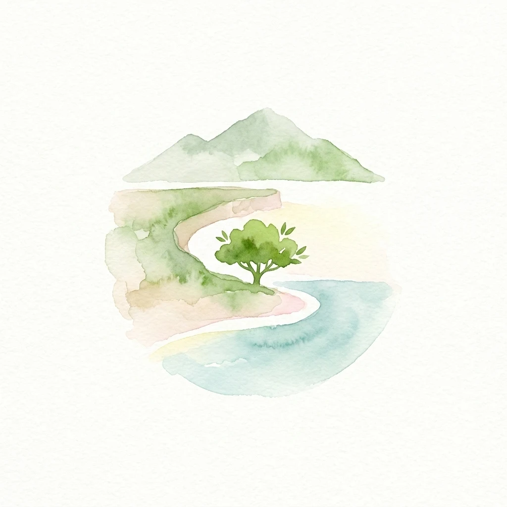
Watercolor illustration showing mountains, a single tree, a curved beach, and a body of water
National parkGalápagos Islands

Galápagos National Park

Explore unique endemic species and mapped landscapes of the Galápagos Islands.

Volcanic islands support distinctive wildlife, including giant tortoises, marine iguanas, and flightless cormorants.

7,995.4 km²1959SubtropicalModerate access
National parkCaliforniaMarine

Redwood National and State Parks

Explore California's protected area atlas.

Gain a structured understanding of Redwood National and State Parks as a protected national park within the geographic context of California. This dedicated page focuses on its mapped boundaries and protected landscape identity, offering critical atlas-level insights for regional geography exploration and conservation land context. Discover how this protected area fits into the larger mapped terrain.

562.88 km²1968MediterraneanEasy access
National parkEast Nusa TenggaraMarineMountain

Komodo National Park

Mapped boundaries and regional geography for this Indonesian protected area.

Komodo dragons, island landscapes, and coral reefs characterize this protected area in Indonesia's Lesser Sunda Islands.

1,733 km²1980TropicalModerate access
National parkAustraliaMarineMountain

Kakadu National Park

Explore Kakadu National Park's mapped boundaries and natural terrain.

Tropical wetlands and Aboriginal rock art at places such as Ubirr and Nourlangie bring natural and cultural landscapes together.

19,804 km²1979TropicalModerate access
National parkFloridaMarine

Everglades National Park

Explore its unique natural terrain and mapped boundaries.

Sawgrass prairies and mangrove wetlands support wading birds such as roseate spoonbills, great blue herons, and wood storks.

6,106.61 km²1947TropicalEasy access
National parkAlaskaMarineMountain

Wrangell–St. Elias National Park and Preserve

Mapped protected lands and regional landscape context.

Dive into the detailed geography of Wrangell, St. Elias National Park and Preserve, a prominent national park located in Alaska. This resource focuses on its extensive mapped boundaries and its role as a protected landscape, offering insights valuable for understanding regional geography and the distribution of natural areas.

53,320.6 km²1980SubpolarModerate access
Watercolor illustration of a single green tree with a reflection in a body of water, set against a soft pastel background of pink and yellow clouds
National parkHuelva

Doñana National Park

Explore Huelva's key protected area and its regional geographic setting.

Doñana National Park, in Province of Huelva, Spain. Landscapes: dunes, wetlands, and beaches.

543 km²1969MediterraneanModerate access
National parkWashingtonMarineMountain

Olympic National Park

Explore its unique Washington landscape and mapped protected areas.

Olympic National Park serves as a key protected area within Washington, offering rich opportunities for geographic exploration. This detail page provides essential context on its designation as a national park, its mapped boundaries, and its contribution to the regional geography. Understand the park's specific landscape character and its role within the atlas of protected lands, facilitating a structured approach to discovering its natural terrain and geographic significance.

3,733.8 km²1938TemperateModerate access
Watercolor illustration of a river flowing through a forested area with mountains in the background and a yellow sun in the sky
National parkWest BengalMarine

Sundarbans National Park

Explore its tidal geography and mapped protected boundaries.

Sundarbans National Park is a vital protected area on the Ganges Delta, recognized globally as the world's largest mangrove forest and a UNESCO World Heritage Site. Located in West Bengal, this national park features a unique estuarine geography characterized by intricate tidal channels and distributaries that define its landscape. Its protected boundaries safeguard a complex ecosystem, offering rich opportunities for atlas-driven exploration of its distinctive natural terrain and coastal wetland significance.

1,330.1 km²1984TropicalModerate access
National parkUnited States of AmericaMarineMountain

Hawaiʻi Volcanoes National Park

Mapped volcanic terrain and regional protected area context.

Hawaiʻi Volcanoes National Park, in United States of America. Landscapes: mountains, forests, and deserts.

1,434.45 km²1916TropicalModerate access
Marine protected areaMexicoMarine

Gulf of California

Mapping protected islands and deep-sea terrain in Mexico

Gulf of California, in Mexico. Landscapes: coasts, beaches, and cliffs.

177,000 km²2005SubtropicalEasy access
National parkAlaskaMarineMountain

Glacier Bay National Park and Preserve

Mapped protected area context within Alaska's natural landscapes.

Glacier Bay National Park and Preserve, in Alaska, United States of America. Landscapes: mountains, glaciers, and forests.

13,045 km²1980SubpolarRemote access
Related environmental topics

Tracing ecological transitions and coastal gradients where marine and terrestrial systems meet

Comparing Marine habitat in national parks and protected areas with adjacent ecosystems

Comparing related habitats reveals how environmental gradients shape saltwater zones and neighboring coastal communities across global protected areas. Recognizing these natural transitions helps clarify landscape connectivity without treating distinct ecological communities as interchangeable systems.

Coastal habitat

Coastal habitat is a recurring ecological setting across protected areas. Understanding its climate, vegetation, wildlife, soils, water, and seasonal dynamics helps explain why parks with the same habitat can still look and function differently.

1,262 represented parks

Wetland habitat

Wetland habitat is a recurring ecological setting across protected areas. Understanding its climate, vegetation, wildlife, soils, water, and seasonal dynamics helps explain why parks with the same habitat can still look and function differently.

2,521 represented parks

Lacustrine habitat

Lacustrine habitat is a recurring ecological setting across protected areas. Understanding its climate, vegetation, wildlife, soils, water, and seasonal dynamics helps explain why parks with the same habitat can still look and function differently.

903 represented parks

MoriAtlas Explorer

Habitats in national parks

Choose a habitat to read about its ecology and find related parks.

Global natural geography