Why Agulhas National Park stands out
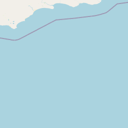
Agulhas National Park is best known for marking the precise southernmost point of Africa where the Atlantic and Indian Oceans officially meet, a geographic milestone that draws visitors seeking to stand at the continent's edge. The park's second-major attraction is the historic Cape Agulhas lighthouse, an icon of South Africa's maritime heritage and the second-oldest operating lighthouse in the country. The protected landscape also preserves one of the world's six floral kingdoms, the fynbos biome, with hundreds of endemic species carpeting the coastal slopes. The surrounding waters of the Agulhas Bank support productive fishing grounds and seasonal whale migrations, making the park a destination for marine wildlife observation.
Agulhas National Park history and protected-area timeline
The Agulhas area was recognized for its ecological and cultural significance long before formal protection was established. The Cape Agulhas lighthouse was constructed in 1848 to warn ships away from one of Africa's most dangerous coastlines, and the region's shipwreck history extends back centuries, with vessels like HMS Birkenhead and the Arniston becoming part of the area's maritime legacy. The surrounding agricultural community historically used the land for grazing and small-scale farming, but conservation concerns eventually led to the establishment of the national park in 1998. The creation of the park represented a collaborative effort between South African National Parks and local landowners to protect the ecologically sensitive Agulhas Plain while maintaining sustainable land use practices in the region.
Agulhas National Park landscape and geographic character
The park's landscape presents a striking contrast between the flat coastal plain and the dramatic oceanic boundary that defines its southern edge. Rolling fynbos-covered hills sweep toward the coastline, where rocky outcrops and sandy beaches alternate along the shore. The most prominent geographic feature is Cape Agulhas itself—a dramatic headland where visitors can observe the meeting of the Atlantic and Indian Oceans. Inland, seasonal wetlands fill with winter rains, creating shallow pans that attract waterfowl and provide breeding habitat for amphibians. The coastal cliffs and offshore reefs create the dangerous conditions that have claimed numerous vessels over centuries, contributing to the area's historical significance as both a navigational challenge and a maritime cemetery.
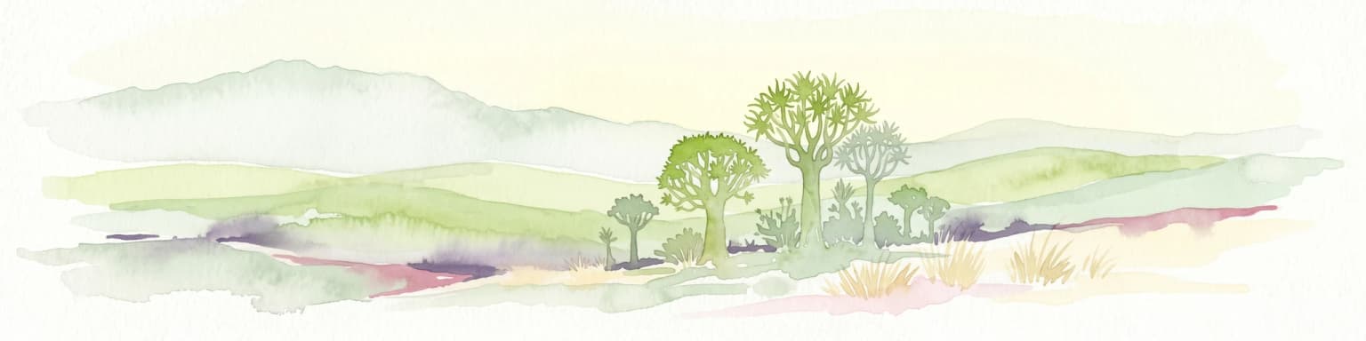
Agulhas National Park ecosystems, habitats, and plant life
The ecological character of Agulhas National Park is defined by the fynbos biome, a vegetation type remarkable for its species richness and high degree of endemism. Over 2,000 native plant species have been recorded within the park's boundaries, including numerous species of protea, erica, and restio that form the distinctive plant communities of this Mediterranean-type ecosystem. The wetlands scattered across the coastal plain provide crucial habitat for waterbirds and support amphibians that depend on seasonal water bodies for breeding. The offshore waters of the Agulhas Bank represent a distinct marine environment where the mixing of warm and cold ocean currents creates highly productive conditions for marine life.
Agulhas National Park wildlife and species highlights
The marine environment surrounding Agulhas National Park supports significant populations of cetaceans, with southern right whales migrating through the area between November and January to calve in the protected coastal waters. The rocky shoreline provides habitat for the African black oystercatcher, a threatened shorebird species that breeds along the coast. The Damara tern, a migratory seabird, uses the area during its breeding season, while the Cape platanna, a local amphibian species, inhabits the wetland areas. The park's waters support diverse marine fish species, and the productive Agulhas Bank fishing grounds attract both commercial and recreational fishing activity in the surrounding region.
Agulhas National Park conservation status and protection priorities
Agulhas National Park plays a vital role in protecting a small but ecologically significant portion of the fynbos biome, one of the world's six floral kingdoms and one of the most threatened ecosystems on Earth. The park safeguards critical habitat for numerous endemic plant species that occur nowhere else on the planet, contributing to global conservation efforts for Mediterranean-type ecosystems. The coastal wetlands provide protected habitat for waterbirds and amphibians, many of which face pressure from agricultural development across the Agulhas Plain. The marine environment, where two major ocean currents converge, represents a unique ecosystem that benefits from the park's coastal protection boundaries.
Agulhas National Park cultural meaning and human context
The Agulhas coastline carries deep historical significance as one of the most notorious stretches of shoreline in Southern African maritime history. The treacherous reefs off Cape Agulhas have claimed numerous vessels over centuries, giving the area a rich legacy of shipwreck lore and maritime tragedy. The Cape Agulhas lighthouse, built in 1848, stands as a testament to the region's importance in maritime navigation and remains an important cultural landmark. The nearby town of Bredasdorp houses a shipwreck museum that preserves artifacts from vessels lost along this dangerous coast, including relics from the HMS Birkenhead and Arniston disasters.
Top sights and standout views in Agulhas National Park
The defining experience for most visitors is standing at Cape Agulhas, the southernmost point of Africa, where markers indicate the exact meeting point of the Atlantic and Indian Oceans. The historic lighthouse offers panoramic views and houses a museum detailing the region's maritime history. Whale watching provides seasonal wildlife encounters from November through January when southern right whales congregate in the nearshore waters. The fynbos-covered landscapes, particularly impressive during the spring flowering season, showcase the extraordinary plant diversity of this unique biome.
Best time to visit Agulhas National Park
The park offers rewarding experiences throughout the year, though different seasons emphasize different aspects of its character. The austral spring months of September through November bring the fynbos into full bloom, with wildflowers carpeting the coastal slopes in vivid displays of color. Summer from December through February offers warm weather ideal for beach exploration but also brings higher visitor numbers. Whale watching is best from November through January when southern right whales are most active in the coastal waters. Winter rains transform the wetlands into vibrant bird habitat, though some coastal areas may experience windy conditions.