Mori Atlas logo
Park earthquake history

Explore recorded epicentre data, event magnitudes, and depths across the mountainous Calabrian terrain

Historical Seismic Catalogue and Recorded Earthquake Events for Aspromonte National Park

This historical catalogue provides a structured record of seismic events identified by their proximity to the boundaries of Aspromonte National Park. By documenting event dates, magnitudes, and depths for occurrences near this protected area in Calabria, the collection offers geographic context regarding regional seismic history. Each entry displays data derived from established sources to aid in the study of landscape change and geological patterns within the southern Apennine range.

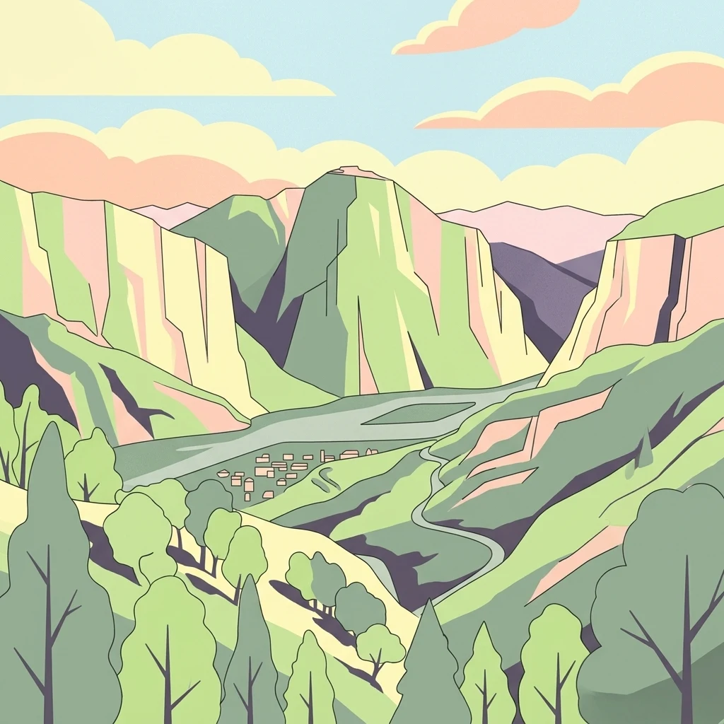
Stylized illustration of a mountainous valley with green hills, winding river, and scattered trees under a sky with clouds

Mediterranean mountain wilderness in southern Italy where Apennine peaks meet the sea

Aspromonte National Park

Aspromonte National Park is a protected area in the southern Italian region of Calabria, occupying a mountainous territory in the southern section of the Apennine mountain range. The park spans approximately 642 square kilometers and was established in 1989 to protect one of Italy's most distinctive landscapes where rugged mountain summits rise dramatically from near the Mediterranean coastline. The park's territory encompasses elevations ranging from sea level to Montalto, the highest peak at 1,955 meters, creating a remarkable vertical gradient that supports diverse ecological communities. The area holds significant conservation value as both a national park and a UNESCO Global Geopark, recognized for its geological significance and exceptional biodiversity. The park also contains important historical and cultural heritage, with ancient villages and archaeological sites scattered throughout its territory.

Location
Italy
Park type
National park
Established
1989
Area
641.5 km²
Highest point
1,955 m
Aspromonte National Park Atlas

Compare Aspromonte National Park dates, epicentres, magnitudes, depths, and distances

Review the historical earthquake catalogue for Aspromonte National Park

Earthquake records associated with Aspromonte National Park are organized through epicentre locations and distance to the park, not through an assumption of events inside its border. The catalogue supplies dates, magnitudes, depths, reported places, park-distance figures, and source access for careful chronological and geographic comparison without unsupported risk claims.

Sort by
Magnitude
Location

This page describes catalogued earthquakes associated with the park by epicentre location and distance. It does not establish causation, assess current danger, or predict future earthquakes.

No earthquake records match the current filters

Park atlas

Broaden park discovery beyond the Aspromonte National Park earthquake catalogue

Explore other protected parks after Aspromonte National Park

A separate collection of protected destinations provides the next atlas step after the Aspromonte National Park earthquake entries. It does not suggest shared Calabrian geography, mountain terrain, legal designation, earthquake histories, geological conditions, nearby locations, seismic significance, or hazards.
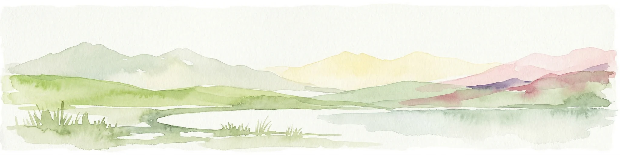
Watercolor illustration of a lake surrounded by green landscape with mountains in the background
National parkCalabria
76 km away#1 closest

Northeast

Sila National Park: Protected Landscape and Geographic Context in Calabria

Explore its mapped boundaries and regional natural area.

Sila National Park represents a vital protected landscape within the Calabria region, situated in southern Italy. This page details its specific geographic features and mapped park boundaries, offering a focused view of its place within the broader Italian atlas. Understanding Sila National Park provides insight into the region's natural terrain and the distribution of its protected lands, serving as a key point for geographic discovery.

Area
736.95 km²
Established
2002
IUCN
II
Relief
Mixed relief
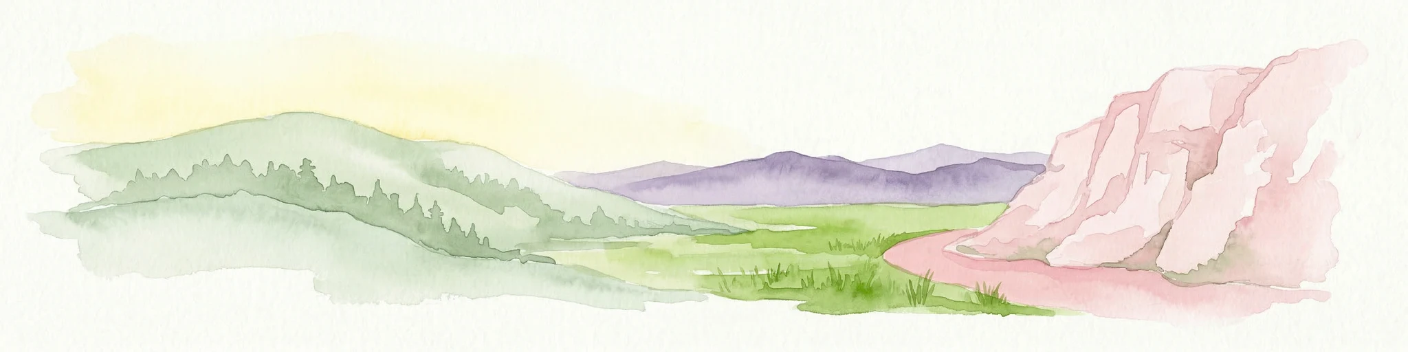
Watercolor illustration showing green hills, a valley, and pink rock formations under a pale sky
National parkBasilicata
134 km away#2 closest

North

Pollino National Park: Protected Landscape of Ancient Forests and Alpine Terrain

Italy's largest national park and UNESCO Global Geopark

Pollino National Park, located in the Basilicata region, is a significant protected landscape renowned for its extensive ancient forests, particularly its rare Bosnian pines, and its dramatic, high-altitude mountain geography. Covering over 1,925 square kilometers, this national park is also recognized as a UNESCO Global Geopark, highlighting its exceptional geological heritage and unique ecosystems. The park's rugged terrain, soaring peaks, and rare ancient trees offer rich opportunities for understanding regional protected areas and mapped natural landscapes in southern Italy.

Area
1,925.65 km²
Established
1992
IUCN
II
Relief
Mountain
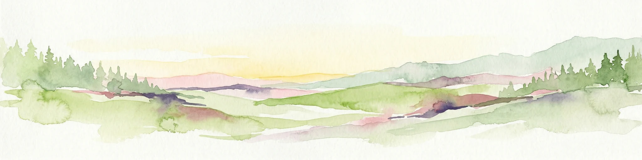
Watercolor painting showing mountains, a lake, and grassy fields
National parkItaly
185 km away#3 closest

North

Cilento, Vallo di Diano and Alburni National Park: An Italian National Park's Geographic and Protected Landscape Identity

Mapped protected area boundaries and regional context.

Delve into the core geographic and protected-area characteristics of Cilento, Vallo di Diano and Alburni National Park. As a designated National Park in Italy, its mapped boundaries and landscape context are essential for atlas exploration. This entry provides the foundational geographic understanding needed to place this protected land within a broader map-based discovery framework, highlighting its significance as a natural landscape.

Area
1,810.48 km²
Established
1991
IUCN
II
Relief
Mountain
Watercolor illustration showing a landscape with mountains, green forests, and a river under a soft sky
National parkBasilicata
187 km away#4 closest

North

Appennino Lucano - Val d'Agri - Lagonegrese National Park: Protected Mountain Landscape in Basilicata, Italy

Explore its geography, mapped terrain, and ecological role.

Gain insight into Appennino Lucano - Val d'Agri - Lagonegrese National Park, a significant protected mountain landscape in the heart of Basilicata. This detailed page focuses on the park's distinct geographic features, its role as a crucial ecological corridor connecting major southern Italian protected areas, and the mapped contours of its diverse terrain. Understand its place within the Lucano Apennine range and the broader natural atlas of Italy.

Area
689.96 km²
Established
2007
IUCN
II
Relief
Mountain
Protected areaGozo
About 256 km away#5 closest

Southwest

Ramla Bay: Geographic Mapping and Protected Landscape Analysis of the Gozo Coast

Coastal terrain, red-sand geology, and Mediterranean rural landscapes.

Ramla Bay represents a significant protected coastal pocket on the island of Gozo. Beyond its well-known red-sand beach, the area encompasses a wider valley landscape defined by limestone headlands and agricultural plateaus. Use this mapped overview to understand the interaction between the Mediterranean coastline and the rugged rural hinterland of the Maltese islands.

Relief
Lowland
Climate
Mediterranean
Access
Easy access
Scope
Terrestrial
Nature reserveGozo
About 258 km away#6 closest

Southwest

Comino Nature Reserve: Geography, Protected Marine Areas, and Karst Terrain in Gozo

Island ecology and coastal landscape mapping

Examine the protected geography of Comino, an island nature reserve near Gozo defined by limestone plateaus and sheltered bays. This overview covers the ecological boundaries of the Natura 2000 marine area, the distribution of coastal sea caves, and the topographic patterns of this Important Bird Area.

Area
3.5 km²
Relief
Lowland
Climate
Mediterranean
Access
Moderate access
Protected areaMalta
About 259 km away#7 closest

Southwest

St Paul's Island Protected Landscape and Maltese Coastal Geography Overview

Uninhabited Mediterranean island and heritage landmark

St Paul's Island represents a unique Mediterranean limestone islet featuring maritime garigue habitat and historic ruins. Located near the Mellieħa coastline, this protected area provides a compact example of Maltese coastal geography, defined by exposed cliffs and an enduring connection to local maritime history.

Area
0.101 km²
Relief
Lowland
Scope
Mixed
Water
Water-dominated
Nature reserveGozo
About 262 km away#8 closest

Southwest

Fungus Rock: A Protected Limestone Nature Reserve on the Western Coast of Gozo

Geographic landmark and protected coastal terrain

Fungus Rock represents a critical protected landscape at the entrance to Dwejra bay, offering a unique look at Mediterranean limestone geology. Known for its vertical cliff faces and historical botanical significance, this nature reserve remains a defining feature of the Gozitan coastline and the surrounding marine environment.

Area
0.007 km²
Relief
Upland
Climate
Mediterranean
Access
Easy access
MoriAtlas Explorer

Continue Mapping Aspromonte National Park's Protected Landscape and Surrounding Geography

Delve deeper into the geographic specifics of Aspromonte National Park. By exploring this protected area, you gain structured insight into its terrain, mapped boundaries, and its role within the regional geography of Calabria. MoriAtlas provides the framework for understanding this park's unique atlas context, connecting it to the wider natural landscapes of southern Italy and beyond.

Global natural geography