Mori Atlas logo
Park earthquake history

A detailed archive of seismic events mapped by distance from park boundaries and geologic features.

Historical Earthquake Data and Recorded Seismic Activity for Berchtesgaden National Park

Explore a comprehensive historical catalogue of earthquakes associated by proximity with the mountainous terrain of Berchtesgaden National Park. Each record includes documented event details such as precise magnitude measurements, focal depths, and epicentre coordinates derived from USGS datasets. These records provide a transparent overview of past seismic activity occurring in the vicinity of the German Alps, allowing for detailed investigation into the frequency and distribution of recorded tremors within this protected Alpine region.

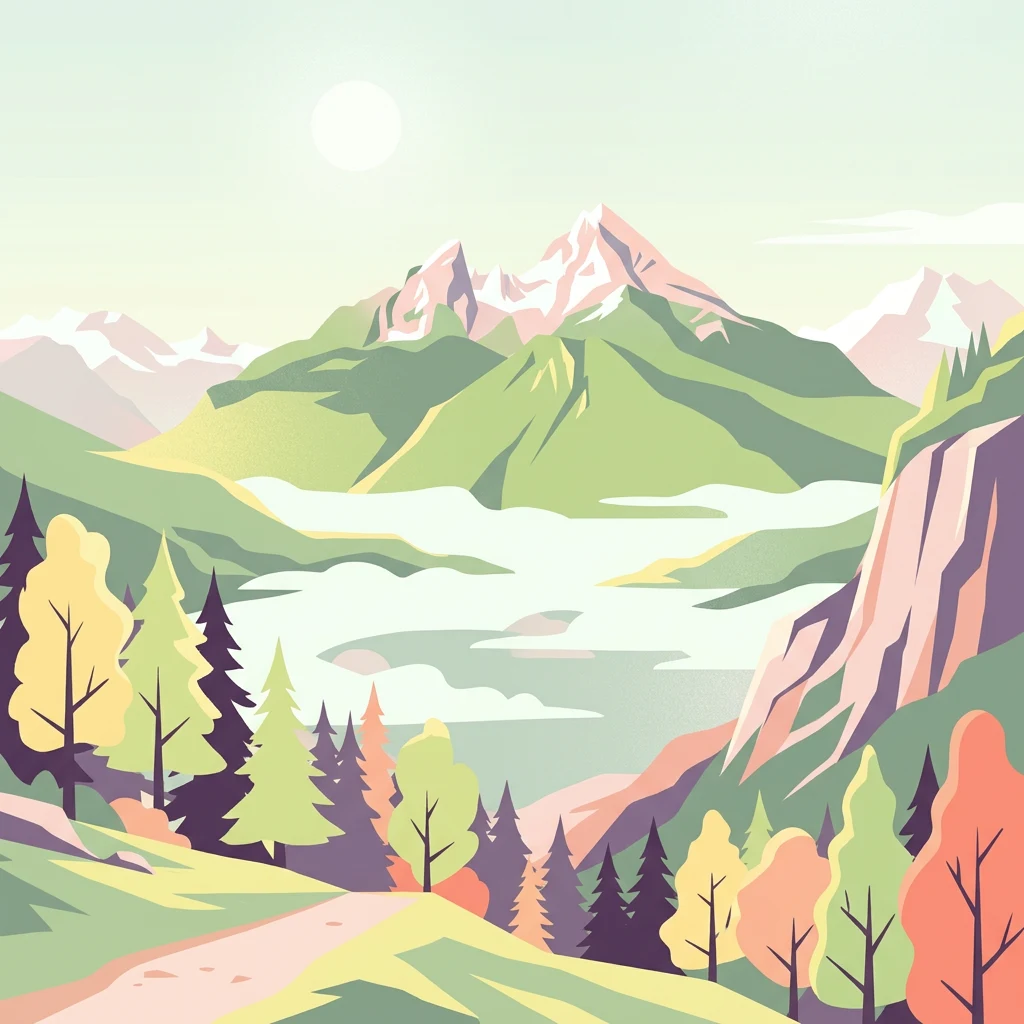
Stylized illustration of a mountainous landscape with green and autumn-colored trees, a winding path, and a lake surrounded by mountains

Germany's only Alpine national park protecting high peaks, glaciers, and karst landscapes

Berchtesgaden National Park

Berchtesgaden National Park is the only German national park located in the Alps, situated in the Berchtesgadener Land region of southeastern Bavaria near the Austrian border. Established on 1 August 1978, the park encompasses approximately 210 square kilometers of mountainous terrain characterized by dramatic limestone peaks, deep glacial valleys, and two significant lakes. The park forms the core of the larger UNESCO Biosphere Reserve Berchtesgadener Land, recognized in 1990 for its ecological significance. The landscape is dominated by the Watzmann massif, the third-highest mountain in Germany at 2,713 meters, along with the Hochkalter and surrounding ranges. Several glaciers persist in the park, including the Watzmann Glacier and Blaueis, representing rare remnants of Alpine glaciation within Germany. The Königssee, a glacial lake at the park's heart, drains into the Salzach river system and ultimately the Danube.

Location
Germany
Park type
National park
Established
1978
Area
210 km²
Highest point
2,713 m
Berchtesgaden National Park Protected Area

Trace regional seismic events by calculated epicentre distance, historical date, and depth.

Historical Earthquake Records and Epicentre Search for Berchtesgaden National Park

Users can explore historical seismic events categorized by their calculated epicentre distance from the alpine boundaries of Berchtesgaden National Park. Each individual record provides essential parameters such as occurrence dates, magnitudes, depths, reported locations, calculated park distances, and original source access for independent verification.

Sort by
Magnitude
Location

This page describes catalogued earthquakes associated with the park by epicentre location and distance. It does not establish causation, assess current danger, or predict future earthquakes.

No earthquake records match the current filters

Park atlas

Continue geographic exploration with other significant global parks and nature reserves

Explore Other Notable Protected Areas Beyond Berchtesgaden National Park

Broadening exploration beyond Berchtesgaden National Park reveals a diverse network of global protected landscapes and conservation areas. Systematic comparisons of regional registries allow for detailed analysis of terrain features, zoning boundaries, and ecological characteristics across different countries.
Watercolor painting showing mountain ranges with green, yellow, and pink hues, depicting layered peaks and cloud formations
National park
About 46 km away#2 closest

South

Hohe Tauern National Park: Map of Austria's Largest Alpine Protected Landscape

Discover glacial terrain and mountain park geography in the Austrian Alps.

Hohe Tauern National Park, Austria's largest protected area, offers a profound exploration of high alpine landscapes. This national park is defined by its towering peaks, expansive glacier systems, and deeply carved glacial valleys. Examining its mapped boundaries reveals the sheer scale of this protected alpine terrain, providing crucial context for understanding regional geography and the unique natural systems it preserves across the Central Eastern Alps.

Area
1,806 km²
Established
1981
IUCN
II
Relief
Mountain
Watercolor painting depicting layered mountain ranges, forests, and water bodies in green and pink tones
National parkUpper Austria
85 km away#3 closest

East

Kalkalpen National Park: Ancient Beech Forests and Karst Protected Landscape

Explore mapped boundaries and unique alpine terrain.

Kalkalpen National Park is a premier protected area in Upper Austria, celebrated for harboring Central Europe's largest remaining ancient beech forests and an extensive karst landscape. This designation underscores its critical role in preserving old-growth forest ecosystems and unique geological formations within the Northern Limestone Alps. Discover the mapped terrain and regional geography that define this significant natural reserve, offering a profound look into the continent's ecological history and protected natural heritage.

Area
208.25 km²
Established
1997
IUCN
II
Relief
Mountain
National parkStyria
110 km away#4 closest

East

Gesäuse National Park: Detailed Protected Landscape and Alpine Geography in Styria

Explore Austria's dramatic river gorge and rugged peaks.

Gesäuse National Park in Styria represents a significant alpine protected area, characterized by the striking Enns river gorge cutting through the Gesäuseberge. This national park offers a unique geographic context, showcasing steep limestone peaks, dramatic rock faces, and a rich hydrological network. Discover the mapped boundaries and protected landscape of one of Austria's most visually striking natural passages, ideal for detailed atlas exploration and understanding alpine conservation.

Area
110 km²
Established
2002
IUCN
II
Relief
Mountain
Watercolor illustration of a river flowing through a forested valley with mountains in the background
National park
122 km away#5 closest

Southeast

Triglav National Park: A Mapped Alpine Protected Landscape in Slovenia

Julian Alps geography, glacial lakes, and karst terrain.

Triglav National Park is Slovenia's premier protected area, covering 880 square kilometers of the Julian Alps. This page details its dramatic alpine geography, including Mount Triglav, glacial valleys, and significant karst features. Understand the mapped boundaries and landscape context of this national park, a key entry in the MoriAtlas geographic discovery resource for understanding protected lands.

Area
880 km²
Established
1981
IUCN
II
Visitors
1.6M annual
Watercolor illustration of a river flowing through a forested landscape with rolling hills in the background
National parkSouth Bohemian Region
140 km away#6 closest

North

Šumava National Park: Czech Republic's Premier Forested National Park and Protected Landscape

Explore the unique glacial lakes, peat bogs, and regional geography.

Šumava National Park, situated in the South Bohemian Region of the Czech Republic, is the nation's largest protected area and a vital component of Central Europe's forest ecosystems. This entry details its expansive terrain, highlighting the significant peat bog complexes and ancient glacial lakes that define its unique landscape. Discover the park's geographic context, mapped boundaries, and its importance as a protected natural asset within the broader regional atlas.

Area
680.64 km²
Established
1991
IUCN
II
Visitors
2M annual
Watercolor illustration showing a mountainous landscape with a waterfall, green hills, and layered colors
National parkProvince of Belluno
142 km away#7 closest

Southwest

Dolomiti Bellunesi National Park: National Park, Province of Belluno Protected Landscape

Explore mapped boundaries and regional geography

This entry details Dolomiti Bellunesi National Park, a distinct national park situated within the Province of Belluno. It provides essential geographic context and protected landscape information, enabling users to understand the park's boundaries and its role within the regional terrain. Dive into the mapped features and discover the atlas-driven details of this significant Italian protected area.

Area
32 km²
Established
1988
IUCN
II
Relief
Mountain
Watercolor painting showing mountains, forests, and valleys in a landscape.
National park
145 km away#8 closest

North

Bavarian Forest National Park: Protected Landscape and Regional Geography Atlas

Explore mapped terrain and protected park boundaries in Germany.

Dive into the specifics of Bavarian Forest National Park, a key protected area noted for its distinct landscape and geographic importance. This MoriAtlas entry details the park's mapped boundaries and its setting within the surrounding regional geography, offering a clear atlas-style view of its natural terrain. Understand its identity as a national park and discover its place in Germany's protected lands.

Area
242.45 km²
Established
1970
IUCN
II
Visitors
1.3M annual
Watercolor painting of a mountain range with a lake, green hills, and a sunset sky
National parkTrentino-Alto Adige/Südtirol
180 km away#9 closest

Southwest

Stelvio National Park National Park: Protected Landscape and Regional Geographic Context

Explore its mapped boundaries and natural terrain.

Navigate Stelvio National Park, a designated national park in Italy's Trentino-Alto Adige/Südtirol region, through a map-centric lens. This page provides critical context for understanding the park's protected landscape, its geographic position within the Alps, and its mapped terrain. Utilize MoriAtlas to grasp the park's boundaries and its place in regional geography for structured natural landscape discovery.

Established
1935
IUCN
II
Relief
Mountain
Scope
Terrestrial
MoriAtlas Explorer

Continue Exploring Berchtesgaden National Park's Geography and Landscape

Deepen your understanding of Berchtesgaden National Park by exploring its specific geographic features and protected landscape context. This MoriAtlas entry provides the structured data to trace its mapped boundaries and understand its regional position within Bavaria. Engage further with the atlas of protected areas to connect this park to its surrounding natural terrain and broader conservation geography.