Mori Atlas logo
Park earthquake history

Review historical seismic events, magnitudes, and epicentre proximity for this mountainous landscape.

Bükk National Park Earthquake History and Recorded Regional Seismic Activity Catalogue

Browse the comprehensive collection of recorded earthquakes associated by location with Bükk National Park. This catalogue provides organized data on historical seismic events, including dates, magnitude measurements, and depth records. Information is structured to provide clarity on regional seismic history surrounding the limestone plateaus and karst terrain of Northern Hungary.

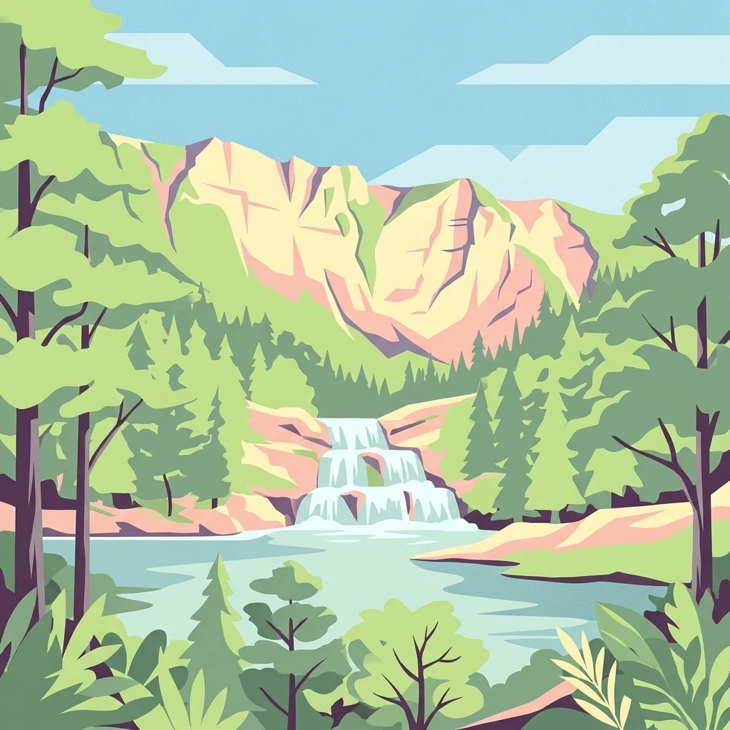
Illustration of a waterfall surrounded by forested mountains and a lake

Hungary's largest mountain national park with exceptional karst caves and rich biodiversity

Bükk National Park

Bükk National Park is Hungary's largest national park, established in 1977 as the third protected area in the country. Located in the Bükk Mountains of Northern Hungary near Miskolc, the park encompasses over 400 square kilometers of mountainous and forested terrain in the Northern Central Mountains region. The park is renowned for its spectacular karst landscape, featuring extensive cave systems, limestone cliffs, and dramatic rock formations known as the "kövek" (stones) that rise dramatically from the forested slopes. With more than 1,100 documented caves, including Hungary's deepest cave at 275 meters, the park holds exceptional geological significance. The diverse terrain creates unique microclimates supporting a remarkable blend of Carpathian, Mediterranean, and alpine plant species, making it one of Hungary's most botanically valuable protected areas.

Location
Hungary
Park type
National park
Established
1977
Area
431.3 km²
Bükk National Park Atlas

Inspect Bükk National Park records by date, magnitude, depth, place, and distance

Explore historical earthquake observations around Bükk National Park

Bükk National Park is connected with earthquake reports through epicentres and calculated park distance, without assigning every entry inside its karst mountain boundary. The catalogue presents timing, magnitude, depth, locality, separation, and source links for historical review without claiming karst or forest effects, seismic causation, current hazard, or future conditions.

Sort by
Magnitude
Location

This page describes catalogued earthquakes associated with the park by epicentre location and distance. It does not establish causation, assess current danger, or predict future earthquakes.

No earthquake records match the current filters

Park atlas

Move beyond the Bükk National Park earthquake catalogue into wider discovery

Continue from Bükk National Park to other protected parks

The earthquake entries associated with Bükk National Park lead into a separate selection of protected park pages. The links do not establish shared Hungarian mountains, karst or forest settings, legal status, earthquake data, geology, geographic closeness, seismic relevance, hazards, or risk.
Watercolor painting depicting grasslands, hills, and a body of water.
National parkHungary
25 km away#1 closest

Southeast

Hortobágy National Park: A UNESCO Protected Steppe Landscape in Eastern Hungary

Explore the unique geography and mapped park boundaries of Hungary's first national park.

Hortobágy National Park is a monumental protected area in Eastern Hungary, recognized globally as the first national park established in the country and a UNESCO World Heritage site. This vast expanse of semi-natural grassland, known as the puszta, stretches across approximately 74,820 hectares, embodying over four millennia of pastoral traditions. The park's landscape is characterized by alkaline soils and sweeping horizons, offering a unique ecosystem with significant avian populations and preserved cultural landmarks. MoriAtlas provides structured geographic context and mapped details to understand this exceptional protected landscape.

Area
748.2 km²
Established
1973
IUCN
II
Relief
Lowland
Watercolor painting showing a winding river, green trees, distant hills, and grassy foreground
National parkHungary
29 km away#2 closest

North

Aggtelek National Park

Karst Landscape & Cave Systems

Explore the protected area of Aggtelek National Park, a UNESCO World Heritage site known for its extensive karst landscapes and significant cave systems. Understand its geographic setting and protected land status.

Area
198.92 km²
Established
1985
IUCN
II
Relief
Mixed relief
A stylized, flat-design illustration of a waterfall falling between two steep, colorful cliffs surrounded by coniferous trees.
Natural monumentHungary
About 34 km away#3 closest

North

Baradla Cave: Karst Geography and Protected Subterranean Landscapes in Northern Hungary

A mapped overview of the Aggtelek Karst subterranean systems.

Baradla Cave functions as a protected natural monument, offering a comprehensive look at the geological processes within the Aggtelek Karst. The system is defined by its seven-kilometer main passage, giant chambers, and extraordinary variety of stalactite and stalagmite formations, revealing how climate and water have shaped the underground landscape over millennia.

Established
1549
Relief
Upland
Climate
Temperate
Access
Easy access
National parkKošice Region
35 km away#4 closest

North

Slovak Karst National Park: Premier Central European Karst Landscape and Cave Systems

Explore protected terrain and mapped underground wonders in Košice Region.

Slovak Karst National Park offers an unparalleled glimpse into a dynamic karst environment. As a designated national park and UNESCO Biosphere Reserve, it preserves a significant concentration of caves, dramatic limestone formations, and rugged canyons within its territory in southeastern Slovakia. This atlas-focused presentation highlights the park's distinctive geology, mapped landscape features, and its importance as a protected natural area within the broader geography of the Košice Region. Understand the park's surface topography and its world-renowned subterranean realms.

Area
346.11 km²
Established
2002
IUCN
II
Relief
Mountain
Watercolor illustration of a forested landscape with mountains, trees, and a river
National parkBanská Bystrica Region
70 km away#5 closest

Northwest

Muránska planina National Park: Discover Slovakia's Karst Plateau and Protected Natural Landscape

Explore mapped boundaries, caves, and endemic flora in Banská Bystrica Region.

Muránska planina National Park represents a significant protected landscape in central Slovakia's Banská Bystrica Region, defined by its extensive karst topography. This national park encompasses a limestone and dolomite plateau rich with geological wonders, including over 150 caves, sinkholes, and karst springs. The unique contrast between the flat plateau surface and the sharp, rocky ravines showcases a dramatic natural terrain. Explore the park's mapped boundaries and its remarkable biodiversity, highlighted by 35 endemic species and rare Tertiary relict flora like Daphne arbuscula, making it a key destination for atlas-based geographic discovery.

Area
213.18 km²
Established
1997
IUCN
II
Relief
Mountain
Watercolor illustration of a winding river through rolling green hills with trees in the foreground
National parkKošice Region
77 km away#6 closest

North

Slovak Paradise National Park: Protected Area Mapping & Geographic Context in Košice Region

Explore the boundaries and terrain of this national park.

Investigate Slovak Paradise National Park, a designated national park situated within Slovakia's Košice Region. This detailed entry provides essential context for understanding its protected landscape features, mapped geographic distribution, and role within regional atlas exploration. Discover its unique terrain and boundaries to build a comprehensive view of Slovak conservation areas.

Area
197.63 km²
Established
1988
IUCN
II
Relief
Mountain
National parkPest County
79 km away#7 closest

West

Danube-Ipoly National Park: Protected Landscape and Geographic Atlas

Mapping Hungary's diverse terrain and protected natural areas.

Delve into Danube-Ipoly National Park, a significant protected area renowned for its extraordinary ecological diversity. This page explores the park's distinct landscapes, from the volcanic formations of the Börzsöny Mountains to the deep karst cave systems of the Pilis, set against the backdrop of the Danube and Ipoly river floodplains. Understand its geographic placement within Pest County and its role as a vital protected landscape for conservation and atlas-based discovery.

Area
603.14 km²
Established
1997
IUCN
V
Relief
Mixed relief
Watercolor painting of rolling mountains in green, yellow, and pink tones
National parkSlovakia
80 km away#8 closest

Northwest

Low Tatras National Park: Slovakia's Vast National Park and Carpathian Protected Landscape

Explore mapped terrain and regional geographic context.

The Low Tatras National Park represents Slovakia's largest protected area, encompassing the entirety of the Low Tatras mountain range. Its landscape is defined by dramatic altitudinal diversity, from alpine summits like Ďumbier to extensive forest zones and significant karst formations with notable cave systems. This page provides detailed geographic context and map-based discovery for the park's protected boundaries and its ecological significance within the Carpathian region.

Area
728 km²
Established
1978
IUCN
II
Relief
Mountain
MoriAtlas Explorer

Continue Exploring Bükk National Park's Geographic and Protected Landscape Context

Delve deeper into the mapped geography and protected area attributes of Bükk National Park. Understand its unique karst formations, ancient forests, and position within Borsod-Abaúj-Zemplén County to enhance your understanding of Hungary's protected lands. MoriAtlas provides structured geographic data for comprehensive discovery.

Global natural geography