Cave entrances
Három-kúti 3. sz. sziklaüreg
1.9 m high

Structured landscape analysis including regional boundaries and recorded natural features
Location: Borsod-Abaúj-Zemplén County, Hungary. Recorded area: 431.3 km².
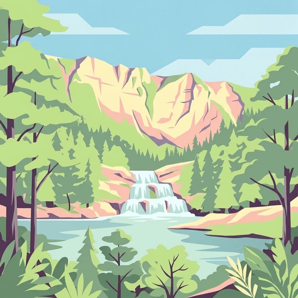
Hungary's largest mountain national park with exceptional karst caves and rich biodiversity
Bükk National Park is Hungary's largest national park, established in 1977 as the third protected area in the country. Located in the Bükk Mountains of Northern Hungary near Miskolc, the park encompasses over 400 square kilometers of mountainous and forested terrain in the Northern Central Mountains region. The park is renowned for its spectacular karst landscape, featuring extensive cave systems, limestone cliffs, and dramatic rock formations known as the "kövek" (stones) that rise dramatically from the forested slopes. With more than 1,100 documented caves, including Hungary's deepest cave at 275 meters, the park holds exceptional geological significance. The diverse terrain creates unique microclimates supporting a remarkable blend of Carpathian, Mediterranean, and alpine plant species, making it one of Hungary's most botanically valuable protected areas.
Regional context within Hungary and Borsod-Abaúj-Zemplén County
Mapping the 431.3 square kilometer territorial extent and coordinates
Mixed relief classifications and recorded valley geography
Cave entrances
1.9 m high
Peaks
790 m
Cave entrances
823 m · 2 m high
Rock formations
Sinkholes
Natural springs
Temperate mountain forest, karst terrain, and varied relief classifications
Mountains · Forest · Cave · Karst · Valleys · Grassland
Temperate broadleaf forest · Grassland · Karst habitat · Riverine habitat
Map the geographic spread of protected areas surrounding Bükk National Park in Northern Hungary.
Southeast

Explore the unique geography and mapped park boundaries of Hungary's first national park.
Hortobágy National Park, in Hungary. Landscapes: grasslands, wetlands, and rivers.
North
Karst Landscape & Cave Systems
Aggtelek National Park, in Hungary. Landscapes: mountains, hills, and valleys.
North
A mapped overview of the Aggtelek Karst subterranean systems.
Baradla Cave functions as a protected natural monument, offering a comprehensive look at the geological processes within the Aggtelek Karst. The system is defined by its seven-kilometer main passage, giant chambers, and extraordinary variety of stalactite and stalagmite formations, revealing how climate and water have shaped the underground landscape over millennia.
North

Explore protected terrain and mapped underground wonders in Košice Region.
Slovak Karst National Park offers an unparalleled glimpse into a dynamic karst environment. As a designated national park and UNESCO Biosphere Reserve, it preserves a significant concentration of caves, dramatic limestone formations, and rugged canyons within its territory in southeastern Slovakia. This atlas-focused presentation highlights the park's distinctive geology, mapped landscape features, and its importance as a protected natural area within the broader geography of the Košice Region. Understand the park's surface topography and its world-renowned subterranean realms.
Northwest
Explore mapped boundaries, caves, and endemic flora in Banská Bystrica Region.
Muránska planina National Park represents a significant protected landscape in central Slovakia's Banská Bystrica Region, defined by its extensive karst topography. This national park encompasses a limestone and dolomite plateau rich with geological wonders, including over 150 caves, sinkholes, and karst springs. The unique contrast between the flat plateau surface and the sharp, rocky ravines showcases a dramatic natural terrain. Explore the park's mapped boundaries and its remarkable biodiversity, highlighted by 35 endemic species and rare Tertiary relict flora like Daphne arbuscula, making it a key destination for atlas-based geographic discovery.
North
Explore the boundaries and terrain of this national park.
Investigate Slovak Paradise National Park, a designated national park situated within Slovakia's Košice Region. This detailed entry provides essential context for understanding its protected landscape features, mapped geographic distribution, and role within regional atlas exploration. Discover its unique terrain and boundaries to build a comprehensive view of Slovak conservation areas.

West
Mapping Hungary's diverse terrain and protected natural areas.
Delve into Danube-Ipoly National Park, a significant protected area renowned for its extraordinary ecological diversity. This page explores the park's distinct landscapes, from the volcanic formations of the Börzsöny Mountains to the deep karst cave systems of the Pilis, set against the backdrop of the Danube and Ipoly river floodplains. Understand its geographic placement within Pest County and its role as a vital protected landscape for conservation and atlas-based discovery.

Northwest
Explore mapped terrain and regional geographic context.
Low Tatras National Park, in Slovakia. Landscapes: mountains, valleys, and forests.
Explore the map, landscapes, and protection details for Bükk National Park.