Mori Atlas logo
Park earthquake history

A structured catalogue of registered geological events mapped by epicentre proximity to protected canyon terrain.

Historical Earthquake Data and Recorded Seismic Activity Near Charyn National Park

This historical earthquake catalogue archives recorded seismic activity mapped within proximity to the geological formations and river corridors of Charyn National Park. The collection provides searchable access to documented event dates, epicentre locations, and magnitude records for researchers and geography enthusiasts. Each entry reflects data associated with the surrounding terrain, offering a clear view of the seismic history within this distinct area of the Almaty Region.

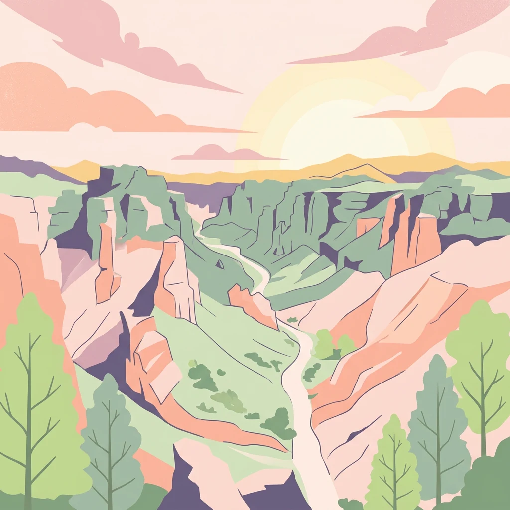
Illustration of Charyn Canyon with pink and orange rock formations, green trees, and a winding river under a pastel sky

Kazakhstan's dramatic canyon landscape with ancient Sogdian ash groves

Charyn National Park

Charyn National Park is a national park in southeastern Kazakhstan, established in 2004 to protect one of the region's most spectacular geological formations. The park encompasses approximately 125,000 hectares along the Charyn River, centered around the dramatic Charyn Canyon—a rugged landscape of eroded cliffs, layered rock formations, and towering walls that rival the Grand Canyon in visual impact. Located about 200 kilometers east of Almaty in the Almaty Region, the park stretches along the river for roughly 50 kilometers through the arid foothills of the Tian Shan Mountains. Beyond its geological significance, the park protects one of the world's most northerly occurrences of Sogdian ash trees, a relict forest species that dates back to the Paleogene Period and offers a rare glimpse of ancient vegetation patterns that once covered much of the region. The park also preserves important archaeological sites and serves as a refuge for diverse wildlife in a challenging semi-arid environment.

Location
Kazakhstan
Park type
National park
Established
2004
Area
1,250 km²
Charyn National Park Atlas

Investigate source records by depth and distance around Charyn’s canyon terrain

Examine historical earthquake records near Charyn National Park

Place earthquake records around Charyn National Park within a 1,250 km² mountain protected area containing canyon, river, cliff, forest and valley landscapes; search by reported date, magnitude, depth and park distance, with source access for scrutiny. Epicentre separation does not establish boundary occurrence, explain the canyon, document impacts, measure current danger or predict activity.

Sort by
Magnitude
Location

This page describes catalogued earthquakes associated with the park by epicentre location and distance. It does not establish causation, assess current danger, or predict future earthquakes.

No earthquake records match the current filters

Park atlas

Broaden atlas discovery beyond the Charyn National Park earthquake catalogue

Explore further protected parks after Charyn National Park

The next places move exploration beyond Kazakhstan’s canyon and Sogdian ash landscape. Their selection does not imply common erosional terrain, national park status, earthquake history, proximity, risk, or supporting documentation.
A horizontal watercolor illustration showing soft green grassy foregrounds, a midground of low vegetation, and distant purple and green mountain silhouettes on a white background.
Natural monumentAlmaty Region
Mapped location lies within the park boundary#1 closest

Northeast

Charyn Ash Grove Natural Monument and Riparian Forest Landscape in Almaty Region

Protected botanical relic in the Kazakhstan steppe

Charyn Ash Grove preserves a rare population of river-loving Sogdian ash trees within the arid landscape of southeastern Kazakhstan. This protected natural monument traces the moisture-rich corridors of the Charyn and Temirlik rivers, creating a vivid riparian ribbon surrounded by rugged semi-desert terrain and ancient archaeological features that define the regional geography.

Area
48.55 km²
Established
1964
IUCN
III
Relief
Lowland
Watercolor illustration showing rolling hills, distant mountains, and sparse vegetation
National parkAlmaty Region
10 km away#2 closest

Northwest

Altyn-Emel National Park: A Protected Landscape of Singing Dunes and Lunar Mountains

Explore unique geological wonders and ancient Saka history.

Discover Altyn-Emel National Park, a prominent national park located in Kazakhstan's Almaty Region. This protected area showcases an extraordinary diversity of landscapes, from the echoing Singing Dunes to the otherworldly Aktau mountains, often referred to as the 'lunar mountains' due to their vivid mineral hues. As a vital conservation zone, it safeguards Central Asian steppe ecosystems and significant Iron Age archaeological sites, offering a rich tapestry of natural beauty and historical depth for atlas exploration.

Area
4,600 km²
Established
1996
IUCN
II
Relief
Mixed relief
A watercolor illustration of a rolling, grassy landscape with gentle hills and light vegetation in pastel tones.
Natural monumentAlmaty Region
About 39 km away#3 closest

Northwest

Singing Dune (Поющий бархан) Natural Monument in the Almaty Region of Kazakhstan

A stationary desert landmark within the Dzungarian Alatau foothills.

Singing Dune (Поющий бархан) is a prominent geological landmark in the Altyn-Emel National Park of the Almaty Region. This massive sand barchan, anchored between two mountain ridges, is recognized for its unique ability to produce resonant organ-like sounds. The surrounding terrain blends arid desert dunes with the striking silhouettes of the Dzungarian Alatau foothills and the distant Ili River valley.

Relief
Upland
Scope
Terrestrial
Water
Minor water
Watercolor illustration of a mountain lake with forests, distant mountains, and calm water reflecting the scenery
National parkAlmaty Region
42 km away#4 closest

Southwest

Kolsay Lakes National Park: Discover Protected Alpine Lakes in Almaty Region

Mapped Tian Shan mountain geography and glacial lake context.

Kolsay Lakes National Park is a significant protected area within the Almaty Region, celebrated for its breathtaking chain of three alpine lakes, often referred to as the 'Pearls of Tien Shan.' This national park showcases the rugged beauty of the Tian Shan mountains, with dramatic valleys, dense spruce forests, and pristine glacial waters. Understanding its geographic setting and mapped boundaries reveals the unique ecological and landscape value of this protected natural area.

Area
1,619 km²
Established
2007
IUCN
II
Relief
Mountain
National parkKyrgyzstan
About 114 km away#5 closest

Southwest

Karakol State Nature Park: Kyrgyzstan National Park Atlas and Mapped Protected Landscape

Explore the geographic context and mapped boundaries of this Kyrgyz national park.

Delve into Karakol State Nature Park, a designated national park contributing to Kyrgyzstan's rich protected lands catalog. This entry provides essential details for understanding its protected landscape identity, its geographic setting within the Central Asian mountains, and its mapped presence within a broader atlas of natural areas. Discover the park's unique role as a mapped conservation zone and its contribution to regional geographic context.

Area
380.95 km²
Established
1997
Relief
Mountain
Scope
Terrestrial
State or regional parkKyrgyzstan
About 141 km away#6 closest

Southeast

Khan-Tengri State Nature Park: Kyrgyzstan State or Regional Park Atlas Exploration

Explore protected landscapes and geographic context.

Khan-Tengri State Nature Park is a designated protected area in Kyrgyzstan, offering unique insights into the region's mountainous geography. This page serves as a detailed atlas entry, highlighting the park's protected landscape characteristics, its mapped boundaries, and its place within the broader natural terrain of Central Asia. Understand the geographic identity of this state or regional park and its contribution to conservation landscapes.

Area
2,758 km²
Established
2016
Relief
Mountain
Access
Remote access
Watercolor painting depicting a mountain range, lake, and grassy foreground under a pale sky
National parkAlmaty Region
About 151 km away#7 closest

North

Zhongar-Alatau National Park: Protected Mountain Landscape and Genetic Heritage Atlas

Almaty Region's critical wild apple forest and glaciated terrain.

Zhongar-Alatau National Park in Kazakhstan's Almaty Region is a significant protected landscape renowned for its role in conserving the genetic origins of cultivated apples. The park encompasses dramatic glaciated mountain ranges, deep canyons, and diverse ecosystems within the Dzungarian Alatau. Its mapped boundaries define an area vital for protecting unique wild fruit tree species, including the Sievers apple, and preserving the distinctive alpine terrain of southeastern Kazakhstan, offering rich context for geographic exploration.

Area
36 km²
Established
2010
IUCN
II
Relief
Mountain
Watercolor painting of a river, hills, and trees with pink and yellow sky tones
National parkAlmaty Region
About 153 km away#8 closest

West

Ile-Alatau National Park: Protected Landscape Atlas and Almaty Region Geography

Mapped boundaries, diverse ecosystems, and mountain wilderness.

Ile-Alatau National Park is a key protected area in the Almaty Region of Kazakhstan, preserving a vast expanse of the Tian Shan mountain system. This national park showcases a dramatic vertical landscape, encompassing everything from lowland woodlands and relict spruce forests to expansive alpine meadows and glacial terrains. Its mapped boundaries define critical habitat for diverse wildlife and offer a profound insight into the complex ecological dynamics of high-altitude environments, making it an essential destination for atlas-based geographic discovery.

Area
2,000 km²
Established
1996
IUCN
II
Relief
Mixed relief
MoriAtlas Explorer

Continue Exploring Charyn National Park's Mapped Geography and Protected Landscape

Delve deeper into the unique natural terrain and protected area context of Charyn National Park. By continuing your exploration, you can uncover the mapped boundaries, geological significance, and regional geographic setting of this remarkable national park. MoriAtlas provides a structured view for understanding its place within Kazakhstan's protected lands and broader natural landscapes.

Global natural geography