Mori Atlas logo
Park earthquake history

A comprehensive index of historical seismic events associated with this protected landscape by epicentre distance.

Recorded Earthquake History and Seismic Records Near De Hoge Veluwe National Park in Gelderland

This collection provides a searchable catalogue of historical earthquake activity mapped in the vicinity of De Hoge Veluwe National Park. Each record includes event timing, magnitude, and precise epicentre distance to offer geographic context for seismic occurrences within the Veluwe region. The data assists in understanding regional patterns by presenting verified historical occurrences alongside their respective source references without implying future hazard.

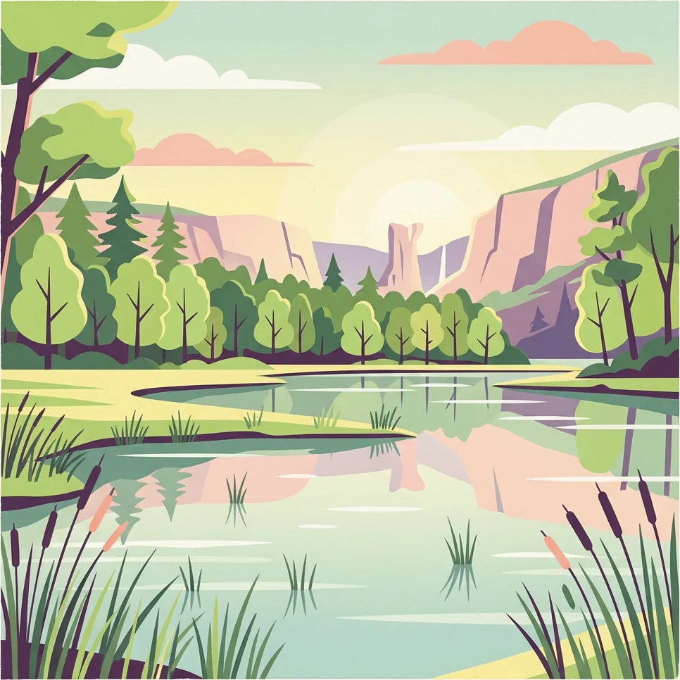
Stylized illustration of a lake surrounded by trees and cliffs under a partly cloudy sky

A private Dutch national park where heathland, sand dunes and woodland shelter a world-famous art museum

De Hoge Veluwe National Park

De Hoge Veluwe National Park is a privately-owned national park in the Dutch province of Gelderland, situated in the heart of the Veluwe region near the cities of Ede, Wageningen, Arnhem and Apeldoorn. Established in 1935, it covers approximately 55 square kilometres of heathlands, sand dunes and woodlands on the Veluwe, the largest terminal moraine landscape in the Netherlands. The park forms one of the largest continuous nature reserves in the country and stands out as the only Dutch national park that charges an entrance fee, operating without government subsidy. Its distinctive character combines natural conservation with exceptional cultural offerings, most notably the Kröller-Müller Museum, which holds one of Europe's largest collections of art including works by Van Gogh, Picasso, Mondrian and Rodin. The landscape itself was shaped during the last ice age, with the characteristic alternating sand dune and heathland areas influenced by centuries of human land use.

Location
Netherlands
Park type
National park
Established
1935
Area
55 km²
De Hoge Veluwe National Park Protected Landscape

Compare historical seismic events by epicentre distance, recorded depth, and magnitude.

Searchable Seismic History for De Hoge Veluwe National Park and Surrounding Region

Users can examine a historical catalogue of recorded earthquakes associated with De Hoge Veluwe National Park through calculated epicentre distances. Each database record contains factual parameters for comparison, including historical dates, magnitudes, focal depths, reported locations, calculated park distances, and original source access.

Sort by
Magnitude
Location

This page describes catalogued earthquakes associated with the park by epicentre location and distance. It does not establish causation, assess current danger, or predict future earthquakes.

No earthquake records match the current filters

Park atlas

Navigate global conservation maps and regional park systems to expand your geographic research

Explore Other Protected Landscapes Beyond De Hoge Veluwe National Park

Transitioning from the ecological study of De Hoge Veluwe National Park allows researchers to browse alternative national parks and nature reserves worldwide. Comparing diverse conservation landscapes supports broader geographic analysis of protected environmental zones across various regional boundaries.
Watercolor illustration of a park landscape with a winding stream, grassy fields, and distant hills
National parkGelderland
4.4 km away#1 closest

Southeast

Veluwezoom National Park: Protected Landscape Atlas and Gelderland Geography

Explore oldest Dutch national park, heathlands, and glacial terrain.

Veluwezoom National Park is the Netherlands' inaugural national park, located in Gelderland. This page provides an atlas-driven exploration of its protected landscape, characterized by rolling heathlands, ancient forests, and dramatic glacial push moraines. Users can discover the park's geographical features, mapped boundaries, and its significance as a conserved natural area within the Veluwe region.

Area
50 km²
Established
1930
IUCN
II
Relief
Upland
Watercolor landscape showing green hills, forests, and a small stream with grassy patches
National parkUtrecht Province
About 24 km away#2 closest

West

Utrechtse Heuvelrug National Park: Mapped Protected Landscape and Geographic Atlas

Discover Utrecht Province's glacial ridge and diverse natural terrain.

Utrechtse Heuvelrug National Park is a significant protected natural area located in Utrecht Province, renowned for its unique glacial ridge topography. This entry provides detailed information about its mapped boundaries, diverse landscapes including heathlands and forests, and its importance as an ecological corridor within the Netherlands. Explore the park's distinct geography and its role in regional conservation through our structured atlas view.

Area
100 km²
Established
2003
IUCN
II
Visitors
1M annual
Watercolor painting showing green hills, a lake, and distant mountains under a light sky
National parkOverijssel
41 km away#3 closest

Northeast

Sallandse Heuvelrug National Park: Overijssel's Glacial Ridge Protected Landscape

Explore its heathland geography and mapped park boundaries.

Sallandse Heuvelrug National Park represents a significant protected landscape within Overijssel, Netherlands, notable for its distinctive glacial ridges and extensive heathland ecosystems. As one of the country's most important conservation areas, it offers a unique opportunity to study the mapped topography and the geography of Dutch heathlands. Discover the protected area's contours and its place within the broader regional atlas context, appreciating its geological formations and ecological importance.

Area
35 km²
Established
2004
IUCN
II
Relief
Upland
Watercolor painting of a lake, grassy shoreline, distant hills, and trees
National parkLimburg
41 km away#4 closest

South

De Maasduinen National Park: Mapping the Longest River Dune System in the Netherlands

Protected Landscape and Dune Terrain in Limburg

Delve into the geographic identity of De Maasduinen National Park, a vital protected area in Limburg. This page offers detailed insights into its remarkable dune landscape, heathlands, and forests, emphasizing its role within the Dutch natural atlas and its connections to surrounding conservation areas.

Area
45 km²
Established
1996
IUCN
II
Relief
Lowland
National parkFlevoland
43 km away#5 closest

Northwest

Nieuw Land National Park: Mapped Wetland Landscape on Flevoland's Reclaimed Land

Protected area geography and ecological discovery in the Netherlands

Nieuw Land National Park offers a distinctive protected landscape forged on land recently reclaimed from the sea in the Dutch province of Flevoland. This national park is characterized by its vast expanse of wetlands, artificial islands like the Marker Wadden, and critical importance for migratory bird populations. Delve into the park's geographic context and mapped features to understand its unique conservation value and role within the wider European atlas of protected areas.

Area
289 km²
Established
2018
IUCN
II
Relief
Lowland
Watercolor illustration of rolling hills, a winding river, and fields with distant mountains
National parkNorth Brabant
50 km away#6 closest

Southwest

Van Gogh National Park: National Park in North Brabant with Dune Landscapes

Explore mapped protected areas and regional geography.

Van Gogh National Park is a significant protected landscape in North Brabant, Netherlands, covering approximately 1,200 square kilometers. This national park is distinguished by its extensive drift sand dune systems, notable heathlands, and wooded valleys, offering a diverse terrain within the Dutch context. Named in tribute to Vincent van Gogh, it merges rich natural landscapes with cultural heritage, serving as a model for collaborative conservation and regional development, all mapped for detailed atlas exploration.

Area
1,200 km²
Established
2024
IUCN
II
Relief
Lowland
Watercolor artwork showing sand dunes, scattered trees, distant mountains, and soft sky
National park
59 km away#7 closest

Southwest

De Loonse en Drunense Duinen National Park: Explore Dutch Protected Sand Drift Landscapes and Heathlands

National Park with unique living sand drift and dune terrain.

Navigate the geographic contours and protected land boundaries of De Loonse en Drunense Duinen National Park, a premier Dutch natural area. This national park is celebrated for its extensive living sand drift, one of the largest in Northern Europe, alongside significant heathlands and coniferous forests. Gain a structured understanding of its landscape character and its role within regional geography through detailed map context and atlas exploration tools.

Area
35 km²
Established
2002
IUCN
II
Relief
Lowland
Watercolor painting of a wetland scene with a winding river, grassy areas, and distant hills
National parkOverijssel
59 km away#8 closest

North

Weerribben-Wieden National Park: A Premier Lowland Peat Bog National Park in Overijssel

Explore mapped protected wetlands and unique hydrological landscapes.

Weerribben-Wieden National Park stands as a remarkable example of a large-scale lowland peat bog ecosystem, recognized as the most extensive and well-preserved in Northwestern Europe. Located in the Overijssel province, this protected area showcases a complex mosaic of interconnected waterways, expansive reed beds, and marshy woodlands. Our platform provides structured geographic context, enabling detailed map-based discovery of the park's unique terrain and ecological significance as a vital conservation landscape.

Area
105 km²
Established
1992
IUCN
II
Relief
Lowland
MoriAtlas Explorer

Continue exploring the mapped geography of De Hoge Veluwe National Park

Deepen your understanding of De Hoge Veluwe National Park by examining its specific geographic context within the Dutch Veluwe region. This MoriAtlas entry provides a structured view of its protected landscape, highlighting the mapped terrain and its relation to the surrounding Gelderland geography. Navigate further to discover more about the park's unique landforms and its place in the national atlas of protected areas.