Mori Atlas logo
Park earthquake history

A structured catalogue of historical seismic events mapped by epicentre proximity to protected marshland and coastal dune terrain.

Recorded Earthquake History and Seismic Activity Near Doñana National Park in Andalucía

Review a collection of historical earthquake records associated with the geography of Doñana National Park. This catalogue provides direct access to event dates, recorded magnitudes, and focal depths derived from established seismic datasets. Explore how past regional tremors align with the protected wetland and coastal dune landscape through mapped epicentre distances, offering a resource for understanding seismic history across this area of the Huelva region.

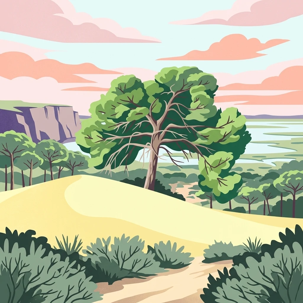
Stylized illustration of a sandy dune landscape with green vegetation, a large central tree, a cliff face on the left, and a body of water visible in the distance under a pink and blue sky

Europe's largest wetland reserve protecting critical migratory bird habitats and endangered species

Doñana National Park

Doñana National Park is a vast protected area in southern Spain spanning the provinces of Huelva, Cádiz, and Seville in the region of Andalucía. The park encompasses approximately 543 square kilometers of marshes, shallow streams, and sand dunes located in Las Marismas, the delta where the Guadalquivir River flows into the Atlantic Ocean. This wetland complex represents the largest nature reserve in Europe and serves as a critical ecological corridor between the European and African continents. The park was established as a nature reserve in 1969 through a partnership between the World Wildlife Fund and the Spanish government, with the national park formally created that same year. Doñana was designated a UNESCO World Heritage Site in 1994 and a Ramsar Wetland in 1982, recognizing its exceptional ecological significance. The park is named after Doña Ana de Silva y Mendoza, wife of the 7th Duke of Medina Sidonia, who established a hunting retreat on the estate in the 16th century.

Location
Spain
Park type
National park
Established
1969
Area
543 km²
Doñana National Park National Park Atlas

Compare historical epicentres, registered magnitudes, and distances from the Andalusian wetlands

Seismic Activity Registry and Spatial Records for Doñana National Park

A searchable database compiles historical seismic events based on the calculated distance from their epicentres to the boundaries of Doñana National Park. Each individual record provides verifiable data including the date, magnitude, focal depth, reported location, and direct links to original seismological monitoring sources.

Sort by
Magnitude
Location

This page describes catalogued earthquakes associated with the park by epicentre location and distance. It does not establish causation, assess current danger, or predict future earthquakes.

No earthquake records match the current filters

Park atlas

Expand your geographic search across other global conservation landscapes and national parks

Explore Other Notable National Parks Beyond Doñana National Park

Transitioning from the regional context of Doñana National Park allows for the exploration of diverse conservation areas worldwide. Comprehensive atlas records help travelers and researchers compare global landscape characteristics and environmental preservation efforts across different continents.
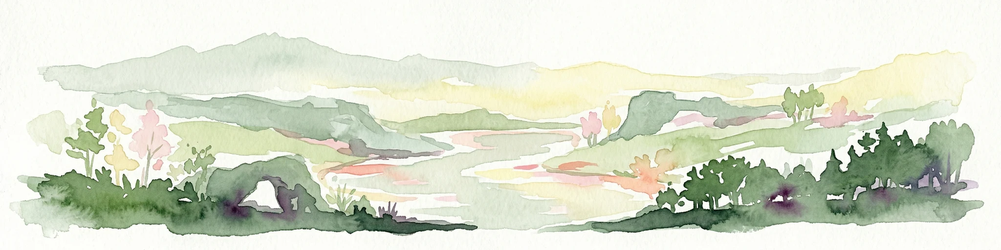
Watercolor illustration showing a river flowing through a valley with hills and vegetation
Protected landscapeBeja District
100 km away#1 closest

Northwest

Guadiana Valley Natural Park: Protected Landscape Discovery in Beja District

Explore its mapped geography and protected land context.

Guadiana Valley Natural Park is identified as a protected landscape, providing a specific focus for geographic study and map-based exploration. This entry details the park's unique protected-area status and its contextual placement within the expansive Beja District of southern Portugal. Understand the mapped boundaries and landscape features that define this area, serving as a key point for regional geographic understanding on MoriAtlas.

Area
697 km²
Established
1995
IUCN
V
Visitors
749 annual
National park
110 km away#2 closest

East

Sierra de las Nieves National Park: Ancient Fir Forests and Karst Geography in Andalusia

Mapped protected landscape and unique geologic features

Sierra de las Nieves National Park stands as a remarkable protected area in Andalusia, Spain, celebrated for its world-leading Spanish fir forests and intricate karst topography. This national park showcases significant geological diversity, from towering limestone formations and deep caves to the striking red peridotite mountains of Sierra Bermeja. Its elevation, reaching Pico Torrecilla at 1,919 meters, offers a unique alpine landscape context within southern Europe, mapped for detailed geographic discovery and protected area exploration.

Area
939.3 km²
Established
1989
IUCN
II
Visitors
100K annual
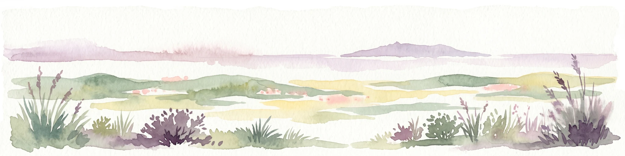
Watercolor illustration of a wetland landscape with grasses, low vegetation, and distant hills under a pale sky
Protected landscapeAlgarve
About 116 km away#3 closest

West

Ria Formosa Natural Park Protected Landscape: Algarve Regional Geography

Explore mapped protected landscapes and regional geographic context.

Examine Ria Formosa Natural Park, a protected landscape that defines a significant portion of the Algarve's natural heritage. This atlas-focused exploration details the park's geographic features, its protected status, and its position within the wider regional geography. Understand the mapped extent of this protected landscape and its contribution to the natural context of southern Portugal.

Area
179.01 km²
Established
1978
IUCN
V
Relief
Lowland
Protected landscapeAlentejo Litoral
194 km away#4 closest

West

Southwest Alentejo and Vicentine Coast Natural Park: A Protected Landscape in Alentejo Litoral

Explore its mapped boundaries and regional geographic context.

This detail page offers a deep dive into the Southwest Alentejo and Vicentine Coast Natural Park, a protected landscape situated in Portugal's Alentejo Litoral region. Understand the park's identity as a protected area through its geographic features and mapped extent. MoriAtlas facilitates a structured understanding of this natural landscape, enabling focused discovery of its protected boundaries and regional geographical significance.

Area
895.7 km²
Established
1988
IUCN
V
Visitors
12.7K annual
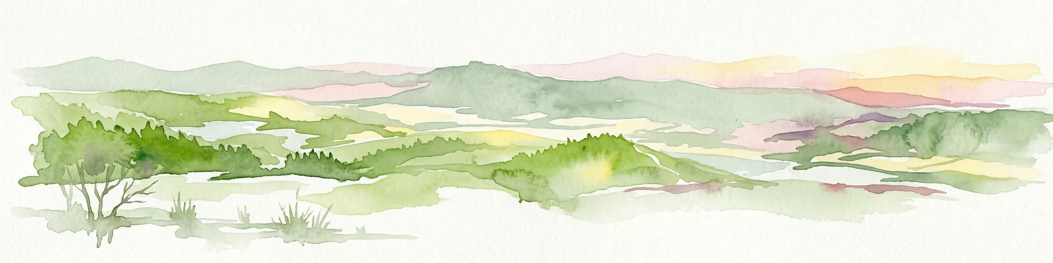
Watercolor illustration of a landscape with green hills, scattered trees, and distant mountains under a pink and yellow sky
Protected landscapePortalegre District
228 km away#5 closest

North

Serra de São Mamede Natural Park: A Protected Landscape Defined by Ecological Transition

Explore the unique mountain terrain and ecosystems of Portalegre District.

Delve into the geographic and ecological identity of Serra de São Mamede Natural Park, a significant protected landscape situated in Portugal's Portalegre District. This area is renowned for its dramatic quartzite ridges and its role as a crucial meeting point for Atlantic and Mediterranean plant communities, offering a unique atlas perspective on regional biodiversity. Examining its mapped boundaries and diverse terrain provides essential context for understanding its ecological importance and its distinct position within the Alentejo region's geography.

Area
560.6 km²
Established
1989
IUCN
V
Visitors
4.5K annual
Watercolor painting showing mountains, trees, and fields
National parkAndalusia
241 km away#6 closest

East

Sierra Nevada National Park: Protected Alpine Terrain and Geographic Context in Andalusia

Explore Spain's highest mountain range mapped across Andalusia's atlas.

Sierra Nevada National Park offers a profound exploration of Spain's highest alpine environments and a significant entry in the regional geography atlas. This protected area showcases classic glacial landforms, U-shaped valleys, and numerous high-mountain lakes, alongside a remarkable abundance of endemic plant species thriving in its unique microclimates. Understanding its mapped boundaries reveals a landscape vital for both biodiversity and watershed, situated prominently within the broader geographic context of Andalusia.

Area
858.83 km²
Established
1999
IUCN
II
Relief
Mountain
Watercolor illustration showing rolling hills, greenery, and distant mountains under a light sky.
Protected landscapePortugal
262 km away#7 closest

Northwest

Arrábida Natural Park: Protected Landscape Atlas and Geographic Context in Portugal

Mapped boundaries of this key Portuguese protected area.

Arrábida Natural Park is presented here as a significant protected landscape, offering rich details for geographic exploration and atlas-based research. Users can investigate its specific mapped boundaries, understand its environmental setting within Portugal, and utilize this data for comparative analysis of protected areas. This resource focuses on the park's inherent geographic identity and its role as a defined natural landscape.

Area
176.41 km²
Established
1976
IUCN
V
Visitors
23.1K annual
Watercolor illustration showing a landscape with green hills, vegetation, and distant mountains
National parkMorocco
About 265 km away#8 closest

Southeast

Al Hoceima National Park: Morocco's Coastal and Marine Protected Wilderness

Explore dramatic cliffs, kelp forests, and marine biodiversity.

Al Hoceima National Park represents a significant protected coastal and marine area in northern Morocco, distinguished by its rugged 50-kilometer Mediterranean coastline featuring spectacular limestone cliffs. This national park offers an atlas-style view of a landscape transitioning from the Ibaqouyen Rif mountains to the sea, harboring rich marine biodiversity including significant osprey colonies and dolphin habitats. Discover the mapped extent of this wild protected territory and its unique ecological features.

Area
480 km²
Established
2004
IUCN
II
Relief
Mountain
MoriAtlas Explorer

Continue Atlas Exploration of Doñana National Park's Mapped Geography

Deepen your understanding of Doñana National Park by exploring its specific geographic features and protected landscape context. This page serves as a gateway to comprehending its position within the Huelva region and the broader atlas of Spain's natural areas. Continue your discovery of its mapped terrain and its significance as a protected natural entity.