Mori Atlas logo
Park earthquake history

Review documented seismic events and epicentre data within the vicinity of the park boundaries.

Historical Earthquake Records and Seismic Activity Near Folgefonna National Park in Norway

Explore a structured catalogue of historical earthquake events that have occurred in the surrounding region of Folgefonna National Park. Each entry provides technical data including recorded dates, seismic magnitudes, depths, and calculated distances from the park. This resource offers a clear look at historical seismic activity using verified records for those studying the regional geography of this mountainous Norwegian protected area.

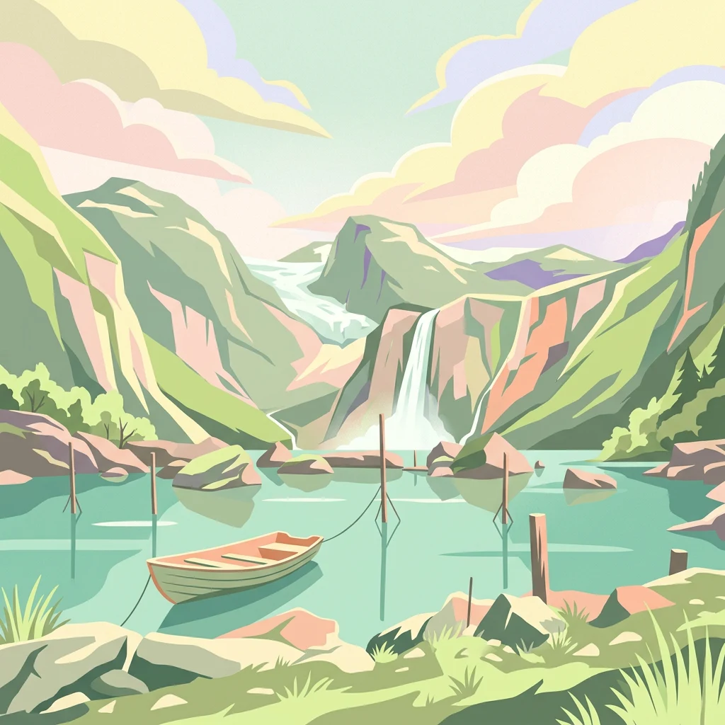
Illustration showing a mountain lake with waterfall, wooden boat, green hills, and partly cloudy sky

Norway's third-largest glacier park on the Folgefonna peninsula

Folgefonna National Park

Folgefonna National Park is a 545-square-kilometre protected area in Vestland county, Norway, established in 2005. The park occupies the mountainous Folgefonna peninsula, spanning the municipalities of Kvinnherad, Etne, and Ullensvang. Its defining feature is Folgefonna, a massive ice cap comprising three connected glaciers—Nordre Folgefonna, Midtre Folgefonna, and Søndre Folgefonna—which together form the third-largest glacier in Norway. The park encompasses dramatic glacial landscapes, steep valleys, and a transition from valley farms below to barren alpine terrain above the tree line. Queen Sonja formally opened the park in May 2005, marking its establishment as one of Norway's newer national parks.

Location
Norway
Park type
National park
Established
2005
Area
545.2 km²
Highest point
1,662 m
Folgefonna National Park Protected Landscape

Search Folgefonna National Park events by depth, date, and distance

Investigate recorded earthquake history near Folgefonna National Park

Earthquake reports associated with Folgefonna National Park are positioned by epicentre and calculated distance from its glacier and alpine setting, without treating proximity as evidence of occurrence on the ice or within the park. The catalogue preserves dates, magnitudes, depths, reported localities, separation values, and source access for chronological and geographic comparison.

Sort by
Magnitude
Location

This page describes catalogued earthquakes associated with the park by epicentre location and distance. It does not establish causation, assess current danger, or predict future earthquakes.

No earthquake records match the current filters

Park atlas

Move beyond Folgefonna National Park historical earthquake data

Find further protected parks after Folgefonna National Park

After the Folgefonna National Park earthquake catalogue, a distinct selection opens other protected park pages. The links do not establish shared national-park status, landscapes, earthquake observations, geological setting, geographic proximity, seismic significance, hazard, risk, or matching source depth.
Watercolor painting of rolling green hills, a body of water, and pink flowers
National parkVestland
8.5 km away#1 closest

East

Hardangervidda National Park: Vast Arctic Plateau and European Peneplain Discovery

Explore Norway's largest national park and its unique tundra ecosystem.

Delve into the geography of Hardangervidda National Park, Norway's largest national park, featuring the expansive Arctic plateau and Europe's largest peneplain. This protected landscape offers a unique mapped environment characterized by treeless moorland, numerous lakes, and important wildlife habitats, including significant wild reindeer populations. Understand its position within the Vestland region and its value as a key protected area for geographic exploration and landscape context.

Area
3,422 km²
Established
1981
IUCN
II
Relief
Highland
Abstract watercolor landscape with soft pastel hues of green, pink, yellow, and purple
National parkNorway
About 74 km away#2 closest

Northeast

Hallingskarvet National Park: Norway's High Mountain Plateau and Protected Wilderness

Mapping glacial terrain, alpine environments, and wild reindeer habitat.

Hallingskarvet National Park offers a unique window into Norway's geological history and alpine ecology. This protected landscape encompasses the striking Hallingskarvet plateau and the Vargebreen glacier, along with deep valleys carved by ancient ice. Users can explore the park's mapped boundaries, understand its regional geographic setting in Scandinavia, and appreciate its conservation value as a habitat for wild reindeer. The park's terrain provides a concrete example of glacial shaping and high-altitude ecosystems within the Nordic context.

Area
450 km²
Established
2006
IUCN
II
Relief
Mountain
National parkVestland
125 km away#3 closest

North

Jostedalsbreen National Park: Europe's Premier Glacial Protected Landscape

Mapped terrain and protected area discovery in Vestland, Norway.

Jostedalsbreen National Park represents a unique geographic entity, safeguarding the largest glacier on the European mainland. This national park, situated in Norway's Vestland region, offers profound insights into glacial landscapes and mountain geography. Users can explore the vast ice mass that dominates the terrain, observe the U-shaped valleys carved by its movement, and understand the geological processes shaping this dynamic environment. The park's protected status highlights its importance for understanding glacial science and preserving a critical component of Norway's natural heritage.

Area
1,310 km²
Established
1991
IUCN
II
Relief
Mountain
Watercolor illustration of a mountain range with green hills and a lake in the foreground
National parkNorway
144 km away#4 closest

Northeast

Jotunheimen National Park: Norway's Iconic Alpine Protected Landscape and Geographic Core

Explore mapped glacial terrain and alpine geography.

Jotunheimen National Park stands as a monument to Norway's alpine grandeur, protecting over 1,151 square kilometers of spectacular mountainous terrain. This protected area is defined by its dramatic glacial features, including sharp peaks exceeding 1,900 meters, U-shaped valleys, and pristine alpine lakes, making it a significant focus for geographic exploration and mapped landscape study. Delve into the core of Norway's mountain heartland, understanding the mapped boundaries and regional geological context that shape this iconic protected landscape.

Area
1,151 km²
Established
1980
IUCN
II
Relief
Mountain
National parkInnlandet
About 165 km away#5 closest

North

Breheimen National Park: Protected Glacial Landscapes and Mountain Terrain in Innlandet

Norway's prominent national park featuring active glaciers and alpine geography.

Breheimen National Park represents a significant protected landscape within Norway's Innlandet region, dedicated to conserving its unique glacial formations and dramatic alpine terrain. The park's vast area encompasses active glaciers, soaring peaks, and a notable diversity of natural environments, from lush valleys to barren plateaus. MoriAtlas facilitates a detailed exploration of Breheimen National Park, highlighting its mapped protected boundaries and its integral role in the regional geography and protected areas atlas.

Area
1,671 km²
Established
2009
IUCN
II
Relief
Mountain
Nature reserveRingerike
About 187 km away#6 closest

East

Vikerfjell naturreservat: Geographic Atlas of Protected Forests in Ringerike, Norway

Mapped terrain of high-lying plateaus, ancient coniferous forests, and wetland mosaic.

Vikerfjell naturreservat serves as a vital protected area for old-growth coniferous forests and vulnerable lichen species. This atlas provides a detailed view of its mountain plateaus, forested slopes, and the expansive mire systems that characterize this key southern Norwegian conservation landscape within the Ringerike municipality.

Area
80.335 km²
Established
2016
Relief
Mountain
Climate
Boreal
National parkInnlandet
About 193 km away#7 closest

Northeast

Langsua National Park: Protected Mountain Forests and Inland Wilderness in Innlandet, Norway

Discover mapped boundaries and regional geographic context.

Langsua National Park, a designation expanded in 2011, is a prominent protected area in Norway's Innlandet county. This national park encompasses 537.1 square kilometers of diverse mountainous terrain, characterized by extensive mountain forests and inland wilderness habitats. Its creation consolidates fragmented nature reserves into a significant contiguous protected landscape, offering valuable insight into Norway's conservation strategies and the geographic context of its eastern mountain regions.

Area
537.1 km²
Established
2011
IUCN
II
Relief
Mixed relief
National parkTelemark
About 209 km away#8 closest

Southeast

Jomfruland National Park: Coastal Archipelago and Skagerrak Marine Atlas

Norway's unique marine-focused national park landscape.

Jomfruland National Park is a significant protected landscape in Telemark, Norway, renowned for its coastal island geography and a landscape predominantly composed of marine waters. Covering 117 square kilometers, this national park emphasizes the conservation of both terrestrial island habitats and the surrounding Skagerrak coastal ecosystem. Explore the park's mapped boundaries and discover its regional geographic context, offering a unique perspective on Norway's protected areas and maritime natural heritage through MoriAtlas.

Area
117 km²
Established
2016
IUCN
II
Scope
Mixed
MoriAtlas Explorer

Continue Exploring Folgefonna National Park's Glacier Geography and Mapped Terrain

Deepen your understanding of Folgefonna National Park by exploring its detailed geographic context and protected landscape features. MoriAtlas helps you navigate the park's significant mapped boundaries and its role within Vestland's broader regional geography. Continue your atlas discovery to appreciate the scale and character of this prominent Norwegian protected area.