Mori Atlas logo
Park earthquake history

Review documented earthquake records associated by epicentre distance with the Graian Alps landscape.

Historical Catalogue of Recorded Seismic Activity Near Gran Paradiso National Park

This historical collection archives documented earthquakes that have occurred in the vicinity of Gran Paradiso National Park, providing a structured look at regional seismic activity. Each entry includes data on event dates, recorded magnitudes, and focal depths derived from USGS sources. The records illustrate the frequency and distribution of historical tremors relative to the mountain peaks and glacial valleys within the park boundary and its immediate geographical surroundings.

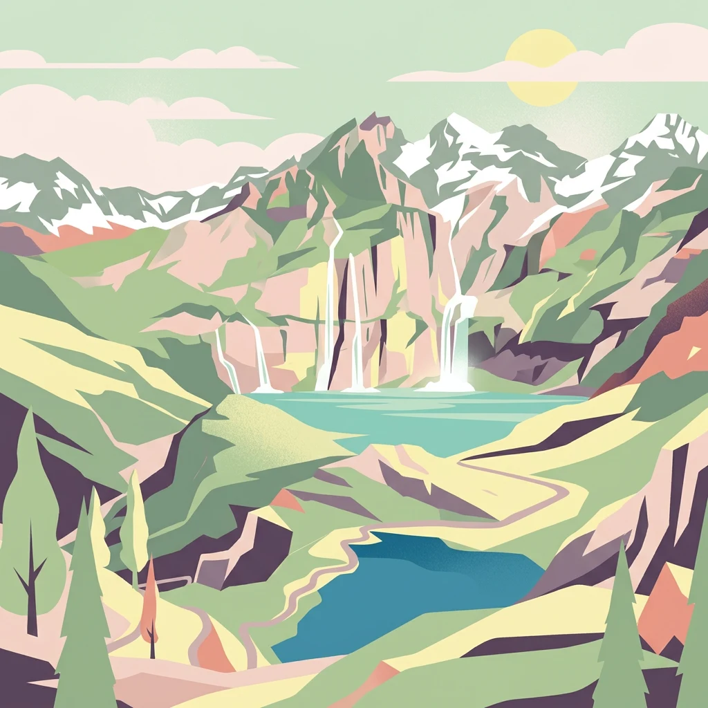
Stylized illustration of mountain landscape with waterfalls, lakes, and pine trees under a sunlit sky

Italy's first national park, protecting the Alpine ibex in the Graian Alps

Gran Paradiso National Park

Gran Paradiso National Park is Italy's oldest national park, established in 1922 in the Graian Alps spanning the border between the Aosta Valley and Piedmont regions. The park encompasses approximately 703 square kilometres of mountainous terrain centred on Gran Paradiso mountain, which at 4,061 metres is the highest peak entirely within Italian territory. Originally created to protect the remaining Alpine ibex population, which had been reduced to approximately 60 individuals by intensive hunting in the early 19th century, the park now preserves a rich alpine ecosystem. The landscape features five major valleys carved by ancient glaciers, with altitudes ranging from 800 metres to over 4,000 metres. The park shares its western boundary with France's Vanoise National Park, with which it cooperatively manages the ibex population that migrates seasonally across the border.

Location
Italy
Park type
National park
Established
1922
Area
703 km²
Highest point
4,061 m
Gran Paradiso National Park Atlas

Explore documented seismic activity by epicentre location and calculated boundary distance

Gran Paradiso National Park Historical Earthquake Catalogue

Historical seismic records document natural geologic activity through calculated epicentre distances relative to the protected boundaries of Gran Paradiso National Park. Each entry provides key scientific parameters for comparison, including event dates, magnitudes, focal depths, reported epicentre locations, calculated park distances, and primary source links.

Sort by
Magnitude
Location

This page describes catalogued earthquakes associated with the park by epicentre location and distance. It does not establish causation, assess current danger, or predict future earthquakes.

No earthquake records match the current filters

Park atlas

Navigate additional natural reserves and protected wilderness areas across global maps

Explore More National Parks and Protected Landscapes Beyond Gran Paradiso

Exploring Gran Paradiso National Park often leads to broader questions about other significant protected landscapes across various regional territories. Geographic tools and curated park lists help researchers locate diverse conservation zones by outlining their mapped boundaries and distinct environmental protections.
Watercolor painting depicting mountains, a river, and trees under a light sky
National parkSavoie
Park boundaries overlap#1 closest

Southwest

Vanoise National Park: Explore France's Original National Park in the Savoie Alps

Mapped Alpine geography, glacial terrain, and protected landscape.

Vanoise National Park is France's pioneering national park, a protected landscape of immense alpine beauty situated in the Savoie department. Renowned for its dramatic glacial terrain, over 100 peaks above 3,000 meters, and the iconic Alpine ibex, this park offers a profound geographic context. Explore its mapped boundaries and discover the unique atlas-level insights into France's mountainous protected areas and their ecological significance.

Area
534 km²
Established
1963
IUCN
II
Relief
Mountain
Watercolor illustration showing mountains, a winding river, and pine trees in a landscape
National park
69 km away#2 closest

Southwest

Écrins National Park: Alpine Glaciated Terrain and Protected Landscape Details

Mapped boundaries and regional geography of a major French National Park.

Delve into Écrins National Park, a defining national park within the French Alps. This page provides a comprehensive overview of its protected landscape, focusing on its dramatic glaciated terrain, significant peaks such as the Barre des Écrins, and its position within the regional geographic context. Explore the mapped extent and understand the unique alpine environment of this protected area.

Area
925 km²
Established
1973
IUCN
II
Visitors
800K annual
Watercolor illustration showing green mountains, forests, a river, and snow-capped peaks in the distance
National parkPiedmont
72 km away#3 closest

Northeast

Val Grande National Park: National Park Protected Landscape in Piedmont

Explore its mapped boundaries and regional geographic context.

Val Grande National Park represents a key protected landscape within the Piedmont region of northwest Italy. This canonical page offers detailed insights into the park's designated status as a national park, its specific geographic placement, and its mapped protected boundaries. Users can navigate its atlas-level details to understand its role in the regional geography and conservation landscape, providing a structured foundation for further discovery of Italy's natural protected areas.

Area
170.21 km²
Established
1992
IUCN
II
Relief
Mountain
Watercolor illustration of a mountainous landscape featuring a river, rolling hills, and green vegetation
National park
111 km away#4 closest

South

Mercantour National Park: Mapped Alpine Protected Landscape and Regional Geography

Explore France's dramatic Alps, park boundaries, and unique ecotones.

Mercantour National Park stands as a premier protected area within the French Alps, distinguished by its remarkable geographic diversity and ecological significance. This national park encompasses mountainous terrain featuring dramatic peaks, deep glacial valleys, and a unique ecotone where Mediterranean and Alpine ecosystems converge. MoriAtlas facilitates a detailed atlas-style exploration of Mercantour National Park, highlighting its mapped protected boundaries, varied natural landscapes, and its pivotal role in regional geography and conservation efforts.

Area
679 km²
Established
1979
IUCN
II
Visitors
800K annual
Watercolor painting of a mountain range with a lake, green hills, and a sunset sky
National parkTrentino-Alto Adige/Südtirol
223 km away#5 closest

Northeast

Stelvio National Park National Park: Protected Landscape and Regional Geographic Context

Explore its mapped boundaries and natural terrain.

Navigate Stelvio National Park, a designated national park in Italy's Trentino-Alto Adige/Südtirol region, through a map-centric lens. This page provides critical context for understanding the park's protected landscape, its geographic position within the Alps, and its mapped terrain. Utilize MoriAtlas to grasp the park's boundaries and its place in regional geography for structured natural landscape discovery.

Established
1935
IUCN
II
Relief
Mountain
Scope
Terrestrial
Watercolor painting of rolling green hills under a sunset sky with soft color transitions
National parkEmilia-Romagna
223 km away#6 closest

Southeast

Appennino Tosco-Emiliano National Park: Explore Its National Park Boundaries and Geography

Discover the mapped landscape and regional context of this protected area.

Appennino Tosco-Emiliano National Park is a designated national park offering a rich area for geographic exploration. This MoriAtlas entry details the park's protected landscape, providing insights into its mapped boundaries and its contribution to the natural terrain of the Emilia-Romagna region. Understand its significance within the broader atlas of Italian protected areas, focusing on its unique geographic identity and landscape context.

Area
227.92 km²
Established
2001
IUCN
II
Relief
Mountain
Watercolor illustration of a mountainous coastal landscape with green vegetation and a body of water
National parkLiguria
About 223 km away#7 closest

Southeast

Cinque Terre National Park: Protected Area Geography and Mapped Landscape

Explore its regional context in Liguria, Italy.

Examine Cinque Terre National Park as a key protected area within the rugged geography of Italy's Liguria region. This dedicated atlas entry provides essential geographic context, detailing the park's mapped boundaries and its significance as a national park. Understand how this protected landscape fits within the broader regional terrain, offering a structured view for geographic discovery and map-based exploration of Italy's protected areas.

Area
22 km²
Established
1999
IUCN
V
Relief
Mountain
Watercolor illustration of coastal mountains and shoreline with scattered trees
National parkBouches-du-Rhône
272 km away#8 closest

Southwest

Calanques National Park: Mediterranean Limestone Cliffs and Marine Protected Area

France's First Peri-Urban National Park

Calanques National Park, situated in the Bouches-du-Rhône department, represents a significant protected landscape where dramatic limestone geology meets the Mediterranean Sea. This atlas-focused entry details the park's iconic calanques, its combined terrestrial and marine protected zones, and its rich prehistoric cultural significance. Understand its unique geographic setting and its importance as a conservation area accessible for map-based discovery and regional landscape context.

Area
520 km²
Established
2012
IUCN
II
Relief
Mountain
MoriAtlas Explorer

Continue Geographic Exploration of Gran Paradiso National Park

Deepen your understanding of Gran Paradiso National Park by exploring its specific geographic features and protected area context further. MoriAtlas provides structured data to help you navigate its mapped landscape and compare its regional setting with surrounding geographies. Continue your discovery journey into the atlas of protected lands, starting with the intricate details of this Italian national park.

Global natural geography