Mori Atlas logo
Park earthquake history

A comprehensive catalogue of historical seismic events associated with the park landscape

Recorded Earthquake History and Seismic Data for Guadiana Valley Natural Park in Portugal

Review documented earthquake events occurring in the vicinity of Guadiana Valley Natural Park across the Beja District. This collection aggregates historical seismic data, providing details on magnitudes, epicentre distances, and event dates for researchers interested in regional geological context. Each entry utilizes standardized data to map seismic occurrences relative to the protected boundaries of the Guadiana River basin and its surrounding plains.

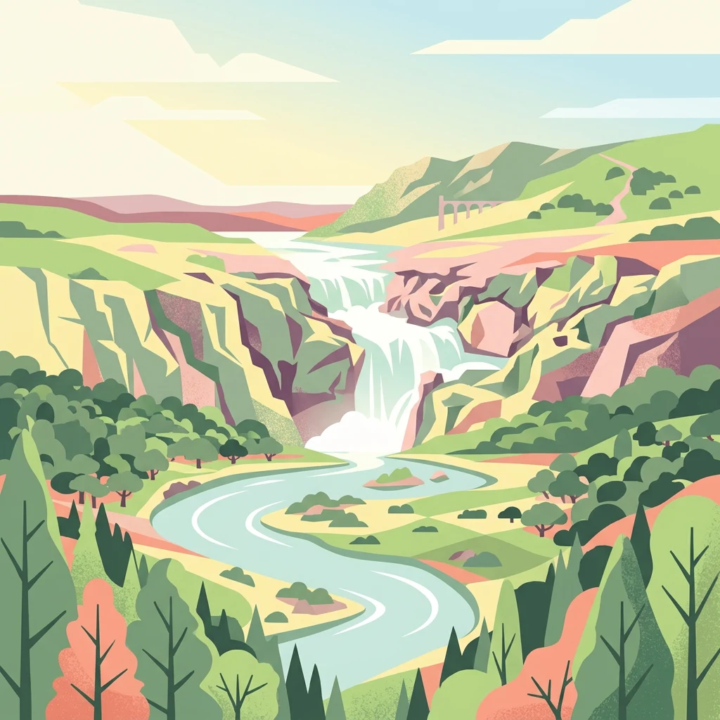
Illustration showing a river with a waterfall, surrounded by mountains and forests

A protected river landscape in Portugal's driest region, marked by the dramatic Pulo do Lobo waterfall

Guadiana Valley Natural Park

Guadiana Valley Natural Park is a protected landscape in southeastern Portugal, spanning the Guadiana River basin and its surrounding plains in the Baixo Alentejo region. Established in November 1995, the park covers approximately 697 square kilometers across the municipalities of Mértola and Serpa in the Beja district. This is one of the driest regions in Portugal, receiving only about 600 millimeters of annual precipitation, yet it supports remarkable biodiversity where the river corridor creates a vital green artery through the semi-arid terrain. The park is classified as IUCN Category V, reflecting its role as a protected seascape and landscape where natural processes continue alongside sustainable human land use.

Location
Portugal
Park type
Protected landscape
Established
1995
Area
697 km²
Guadiana Valley Natural Park Protected Landscape

Sort Guadiana Valley Natural Park events by depth and distance

Search recorded earthquake history around Guadiana Valley Natural Park

Guadiana Valley Natural Park’s catalogue links earthquake reports by epicentre and distance from its Baixo Alentejo river corridor, without asserting events inside the park. Recorded time, magnitude, depth, locality, separation, and sources provide historical context without assigning influence to the valley or wetlands, declaring geological causation, stating current threat, or forecasting activity.

Sort by
Magnitude
Location

This page describes catalogued earthquakes associated with the park by epicentre location and distance. It does not establish causation, assess current danger, or predict future earthquakes.

No earthquake records match the current filters

Park atlas

Continue from Guadiana Valley Natural Park earthquake history

Find additional parks after Guadiana Valley Natural Park

Continue beyond Guadiana Valley Natural Park’s earthquake catalogue to independently described protected destinations. The next pages introduce landscapes outside Portugal’s dry river valley and Pulo do Lobo setting, without selecting equivalents in natural-park designation, waterfall terrain, ecology, seismic evidence, geography, proximity, hazard, or risk.
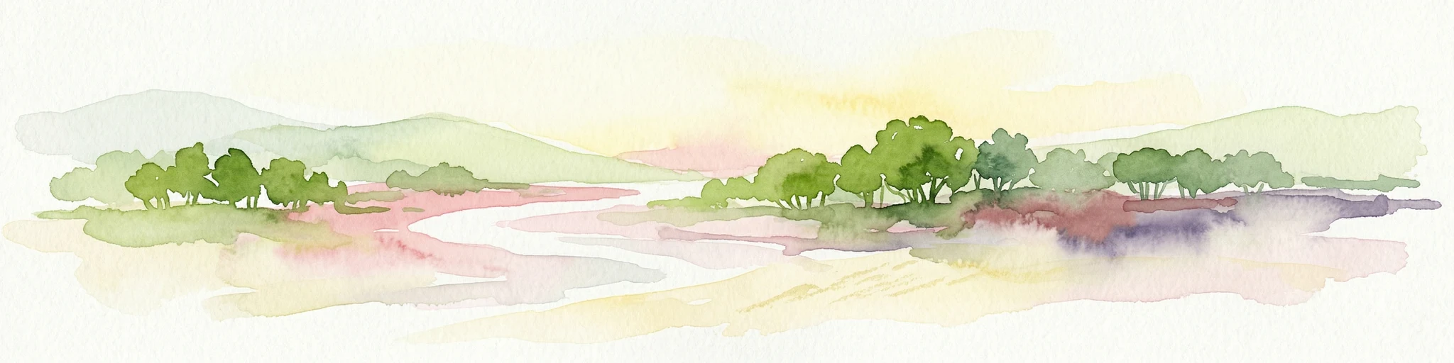
Watercolor illustration of a wetland landscape with grasses, low vegetation, and distant hills under a pale sky
Protected landscapeAlgarve
About 63 km away#1 closest

South

Ria Formosa Natural Park Protected Landscape: Algarve Regional Geography

Explore mapped protected landscapes and regional geographic context.

Examine Ria Formosa Natural Park, a protected landscape that defines a significant portion of the Algarve's natural heritage. This atlas-focused exploration details the park's geographic features, its protected status, and its position within the wider regional geography. Understand the mapped extent of this protected landscape and its contribution to the natural context of southern Portugal.

Area
179.01 km²
Established
1978
IUCN
V
Relief
Lowland
Protected landscapeAlentejo Litoral
71 km away#2 closest

West

Southwest Alentejo and Vicentine Coast Natural Park: A Protected Landscape in Alentejo Litoral

Explore its mapped boundaries and regional geographic context.

This detail page offers a deep dive into the Southwest Alentejo and Vicentine Coast Natural Park, a protected landscape situated in Portugal's Alentejo Litoral region. Understand the park's identity as a protected area through its geographic features and mapped extent. MoriAtlas facilitates a structured understanding of this natural landscape, enabling focused discovery of its protected boundaries and regional geographical significance.

Area
895.7 km²
Established
1988
IUCN
V
Visitors
12.7K annual
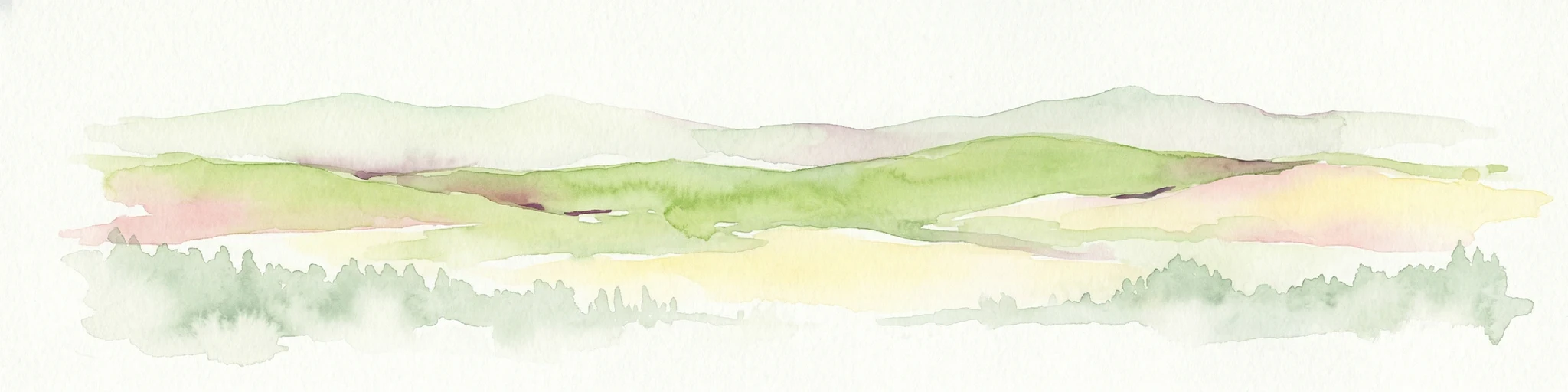
Watercolor illustration of a river flowing through wetlands with trees and distant hills
National parkHuelva
100 km away#3 closest

Southeast

Doñana National Park National Park: Mapped Geography and Protected Landscape Context

Explore Huelva's key protected area and its regional geographic setting.

Delve into the structured geographic data and mapped boundaries of Doñana National Park. This entry highlights its identity as a national park within the Huelva region, providing essential context for understanding its protected landscape. MoriAtlas offers this detail to facilitate a clear, atlas-driven exploration of its natural terrain and its place in the broader geographic framework of Spain.

Area
543 km²
Established
1969
IUCN
II
Visitors
376.3K annual
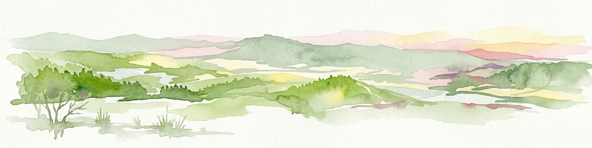
Watercolor illustration showing rolling hills, greenery, and distant mountains under a light sky.
Protected landscapePortugal
122 km away#4 closest

Northwest

Arrábida Natural Park: Protected Landscape Atlas and Geographic Context in Portugal

Mapped boundaries of this key Portuguese protected area.

Arrábida Natural Park is presented here as a significant protected landscape, offering rich details for geographic exploration and atlas-based research. Users can investigate its specific mapped boundaries, understand its environmental setting within Portugal, and utilize this data for comparative analysis of protected areas. This resource focuses on the park's inherent geographic identity and its role as a defined natural landscape.

Area
176.41 km²
Established
1976
IUCN
V
Visitors
23.1K annual
Watercolor illustration of a landscape with green hills, scattered trees, and distant mountains under a pink and yellow sky
Protected landscapePortalegre District
146 km away#5 closest

North

Serra de São Mamede Natural Park: A Protected Landscape Defined by Ecological Transition

Explore the unique mountain terrain and ecosystems of Portalegre District.

Delve into the geographic and ecological identity of Serra de São Mamede Natural Park, a significant protected landscape situated in Portugal's Portalegre District. This area is renowned for its dramatic quartzite ridges and its role as a crucial meeting point for Atlantic and Mediterranean plant communities, offering a unique atlas perspective on regional biodiversity. Examining its mapped boundaries and diverse terrain provides essential context for understanding its ecological importance and its distinct position within the Alentejo region's geography.

Area
560.6 km²
Established
1989
IUCN
V
Visitors
4.5K annual
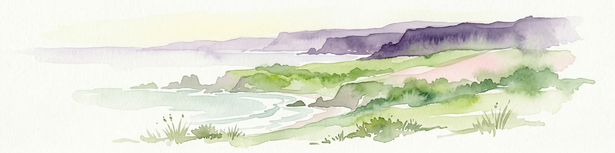
Watercolor painting showing rolling coastal hills with green vegetation, a body of water, and distant mountains under a light sky
Protected landscapeLisbon District
169 km away#6 closest

Northwest

Sintra-Cascais Natural Park: Mapped Protected Landscape in Lisbon District, Portugal

Explore Atlantic coast geography and historic palatial terrain.

The Sintra-Cascais Natural Park is a designated protected landscape in Portugal's Lisbon District, renowned for its fusion of natural beauty and historical architecture. This page offers an atlas-style exploration of its mapped boundaries, showcasing the unique Serra de Sintra mountain range meeting the Atlantic coast. Discover the protected area's geographic features, from its lush forested slopes crowned with iconic palaces to the dramatic cliffs and beaches of Cabo da Roca, providing essential context for understanding this distinctive Portuguese natural landscape.

Area
144.51 km²
Established
1981
IUCN
V
Visitors
43.5K annual
Watercolor illustration of a landscape with rolling hills, a body of water, and vegetation
Protected landscapePortugal
193 km away#7 closest

Northwest

Aire and Candeeiros Ranges Natural Park: Protected Landscape and Regional Geographic Context

Explore the mapped boundaries and natural landscape of this Portuguese protected area.

Understand the Aire and Candeeiros Ranges Natural Park as a key protected landscape in Portugal. This page offers detailed geographic information, focusing on the park's mapped boundaries and its intrinsic connection to the surrounding regional geography. It serves as a portal for atlas exploration, providing structured data for users interested in the specific protected area and its landscape characteristics within the Iberian Peninsula.

Area
383.93 km²
Established
1979
IUCN
V
Visitors
31.9K annual
National parkSpain
235 km away#8 closest

Southeast

Sierra de las Nieves National Park: Ancient Fir Forests and Karst Geography in Andalusia

Mapped protected landscape and unique geologic features

Sierra de las Nieves National Park stands as a remarkable protected area in Andalusia, Spain, celebrated for its world-leading Spanish fir forests and intricate karst topography. This national park showcases significant geological diversity, from towering limestone formations and deep caves to the striking red peridotite mountains of Sierra Bermeja. Its elevation, reaching Pico Torrecilla at 1,919 meters, offers a unique alpine landscape context within southern Europe, mapped for detailed geographic discovery and protected area exploration.

Area
939.3 km²
Established
1989
IUCN
II
Visitors
100K annual
MoriAtlas Explorer

Continue Your Atlas Exploration of Guadiana Valley Natural Park's Geography

Deepen your understanding of Guadiana Valley Natural Park by examining its precise mapped boundaries and its role within the broader geography of Beja District. MoriAtlas provides structured data to compare this protected landscape with surrounding natural areas and regional terrain features, enhancing your overall geographic discovery experience.