Why Hat Chao Mai National Park stands out
Hat Chao Mai National Park is best known for its combination of coastal landscapes, islands, and marine ecosystems. The park features extensive seagrass beds covering approximately 3,975 rai (around 6.4 square kilometres), making it one of the largest seagrass areas in Thailand. It also protects significant coral reef systems, mangrove forests spanning the area from Pak Meng Beach to Hat Chao Mai Beach, and a chain of islands with beaches and limestone formations. The park serves as a critical habitat for dugongs and supports significant populations of large green-pigeons, earning its Important Bird Area designation.
Hat Chao Mai National Park history and protected-area timeline
The establishment of Hat Chao Mai National Park followed a period of survey and assessment of the Laem Yong Lam area in Trang Province. The National Parks Division submitted proposals to the National Parks Committee, recommending the designation of the Laem Yong Lam area, Hat Long, Hat San, Hat Chao Mai, and Hat Pak Meng beaches as a national park. The committee approved the recommendation, and the park was formally declared through a royal decree published in the Royal Gazette, volume 98, section 170, on 14 October 1981. This designation included forest areas designated as Pa Klong Hala, Pa Klong Po, and Pa Klong Kantang, covering approximately 144,300 rai (230.88 km²) across various sub-districts in Sikao and Kantang Districts. In 1989, a small portion of the park was excised to allow construction of the Ban Hat Long Primary School, reducing the total area to approximately 230.87 km². The park's protected status was further enhanced with its designation as a Ramsar Wetland on 14 August 2002, with the reference number 1182, covering the official designation of the marine national park, the Libong Islands Non-Hunting Area, and the Trang River Estuaries.
Hat Chao Mai National Park landscape and geographic character
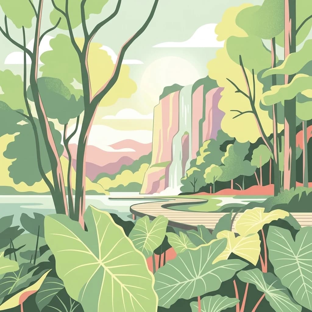
The landscape of Hat Chao Mai National Park comprises a diverse blend of coastal and island terrain along the Malacca Strait. The terrestrial areas feature a coastal plain with beaches extending over 20 kilometres in length, backed by a series of limestone hills and mountain ranges in the eastern portions. The northern and eastern sections are marked by mountain ranges including Khao Chong Chan, Khao Met Jun, and Khao Daeng, which serve as watershed areas feeding multiple streams that flow westward to become the Bang Sak Canal and eventually the Trang River. The park includes several notable islands: Ko Muk with its limestone formations, Ko Kradan with beaches, Ko Ngai, Ko Libong, Ko Hai, and others. The marine landscape features a relatively shallow sea floor with an average depth of about 20 metres, supporting extensive seagrass meadows and coral communities. The coastline includes both sandy beaches and rocky shores, particularly around the limestone island formations.
Hat Chao Mai National Park ecosystems, habitats, and plant life
The ecological character of Hat Chao Mai National Park is defined by its complex of interconnected coastal and marine habitats. The park contains several distinct vegetation communities: evergreen forest in the inland hill areas and on islands such as Ko Muk, limestone forest on the western sides of islands and hills, beach forest along the shoreline, and extensive mangrove forest extending from Pak Meng Beach to Hat Chao Mai Beach. The marine environment features both seagrass meadows and coral reef systems. The seagrass beds between Laem Yong Lin and Ko Muk represent one of the largest such ecosystems in Thailand, covering approximately 3,975 rai with at least eight species of seagrass documented. This productivity supports the park's diverse marine life and contributes to its Ramsar designation. The climate is humid tropical with two seasons, a hot season from January to April and a rainy season from May to December, influenced by both the southwest and northeast monsoons. Annual rainfall exceeds 2,100 mm with average temperatures around 27°C.
Hat Chao Mai National Park wildlife and species highlights
The wildlife diversity of Hat Chao Mai National Park reflects its range of terrestrial and marine habitats. Mammal species total 51, including the dugong (a flagship marine mammal for the area), serow, southern dusky langur, common palm civet, small-clawed otter, and various bat species. Avian diversity is particularly notable with 137 species recorded, including the large green-pigeon which prompted the Important Bird Area designation, as well as black-headed ibis, Chinese egret, and various seabirds. Reptile diversity includes 29 species such as yellow-headed turtles, monitor lizards, and several snake species. Nine amphibian species are present. The marine ecosystem supports numerous fish, mollusks, and crustaceans including groupers, butterflyfish, oysters, and crabs. The mangroves and seagrass beds provide critical nursery habitat for many marine species.
Hat Chao Mai National Park conservation status and protection priorities
Hat Chao Mai National Park holds multiple layers of international and national protection reflecting its ecological significance. Its designation as a Ramsar Wetland since 2002 recognizes the area as a wetland of international importance under the Ramsar Convention, specifically acknowledging the marine ecosystem, the Libong Islands Non-Hunting Area, and the Trang River Estuaries as essential coastal habitats. The Important Bird Area designation by BirdLife International highlights the park's significance for avian conservation, particularly for large green-pigeon populations. As an IUCN Category II protected area, the park maintains both conservation and natural recreation functions under the management of Thailand's Department of National Parks, Wildlife and Plant Conservation. The protection of seagrass meadows, coral reefs, and mangrove forests within the park contributes to broader coastal zone management and supports marine biodiversity conservation in the Malacca Strait region.
Hat Chao Mai National Park cultural meaning and human context
The park occupies a region with historical significance in Trang Province, a coastal area along the ancient maritime trade routes of the Malacca Strait. The local communities in Sikao and Kantang Districts have traditional relationships with the coastal and marine environments, though the park designation has established formal protection over areas previously used for fishing and collection of marine resources. The park's boundary includes the Libong Islands, which have been designated as a Non-Hunting Area, reflecting local conservation concerns. The Trang River Estuaries included in the Ramsar designation represent the outflow of the province's main river system into the coastal waters protected by the park.
Top sights and standout views in Hat Chao Mai National Park
The defining features of Hat Chao Mai National Park include its chain of islands with sandy beaches and limestone scenery, extensive seagrass meadows representing one of Thailand's largest such ecosystems, coral reef communities in the shallow marine areas, and significant mangrove forests along the mainland coast. The park's Ramsar Wetland designation and Important Bird Area status confirm its international conservation value. The combination of terrestrial forest habitats on limestone hills with the marine environments creates a distinctive coastal protected area in southern Thailand.
Best time to visit Hat Chao Mai National Park
The park can be visited year-round given Thailand's tropical climate, though the optimal period generally falls during the dry season from November to April when weather conditions are more stable and rainfall is reduced. The hot season from January to April offers warm conditions suitable for beach and marine activities, though visitors should be prepared for higher temperatures. The rainy season from May through November brings increased precipitation but also lush green landscapes and potentially fewer visitors. Sea conditions may vary with monsoon patterns, affecting boat access to islands and marine activities.