Mori Atlas logo
Park earthquake history

Historical catalogue of seismic events documented in proximity to the box-ironbark forest landscape.

Recorded Seismic Activity and Earthquake History for Heathcote-Graytown National Park

This collection provides a structured catalogue of recorded earthquake events associated with the geographic coordinates of Heathcote-Graytown National Park. The information documents historical seismic activity, including event dates, magnitudes, and depths for occurrences within the surrounding Central Highlands region of Victoria. Each record reflects data based on epicentre proximity to the protected area, providing a factual reference for regional tectonic history.

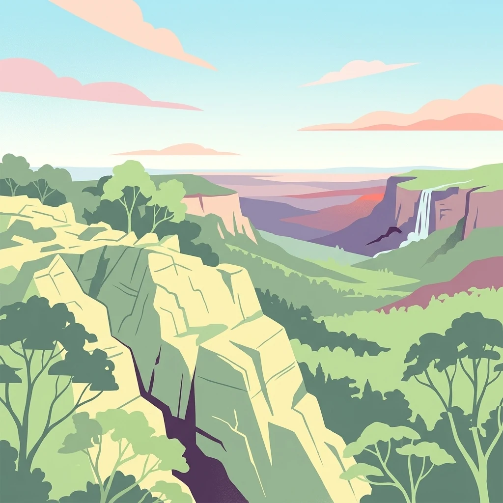
Illustrated view of rocky cliffs, forested hills, and a waterfall in a mountainous landscape with trees and distant mountains under a partly cloudy sky

Victoria's rare box-ironbark forest sanctuary in the Central Highlands

Heathcote-Graytown National Park

Heathcote-Graytown National Park is a protected area located in the North Central region of Victoria, Australia, approximately 150 kilometers north of Melbourne. The park encompasses 12,833 hectares of diverse terrain within the Great Dividing Range, situated immediately adjacent to the town of Heathcote. This relatively young national park was established in 2002 primarily to conserve Victoria's increasingly rare box-ironbark forests, which represent one of the state's most threatened ecological communities. The park forms part of a larger network of protected areas that includes adjacent state forests such as the McIvor Ranges State Forest, creating an important corridor for wildlife movement through the Central Highlands region. The park's ecological significance extends well beyond its borders, as it lies entirely within the Rushworth Box-Ironbark Region, designated as an Important Bird Area by BirdLife International. This recognition reflects the area's particular importance for several threatened woodland bird species, most notably the swift parrot, which migrates to southeastern Australia from Tasmania during the breeding season. The combination of remnant forest vegetation, varied topography, and proximity to watercourses creates habitat conditions that support a remarkable diversity of native wildlife despite the surrounding agricultural and mining landscape. Heathcote-Graytown National Park represents a deliberate conservation outcome for Victoria, proclaimed specifically to address the historical decline of box-ironbark forests across the state. These forests once covered extensive areas of central and northern Victoria but have been significantly reduced by land clearing, timber harvesting, and changed fire regimes. The park protects representative examples of this forest type and provides refuge for species that depend on mature woodland habitats for foraging, nesting, and breeding.

Location
Australia
Park type
National park
Established
2002
Area
128.3 km²
Heathcote-Graytown National Park Atlas

Navigate Heathcote-Graytown National Park records by depth and distance

Examine earthquakes around Heathcote-Graytown National Park

Heathcote-Graytown National Park’s earthquake view relates reported epicentres to its Victorian boundary by calculated distance, keeping seismic records separate from box-ironbark forest, Great Dividing Range ridges, valleys, and creeks. Each entry provides a date, magnitude, depth, locality, source, and park distance for historical comparison without claims about forest effects, present risk, or recurrence.

Sort by
Magnitude
Location

This page describes catalogued earthquakes associated with the park by epicentre location and distance. It does not establish causation, assess current danger, or predict future earthquakes.

No earthquake records match the current filters

Park atlas

Expand beyond Heathcote-Graytown National Park earthquake history

Browse further parks after Heathcote-Graytown National Park

Heathcote-Graytown National Park remains the departure point as earthquake browsing turns from Victoria's box-ironbark forest and Great Dividing Range context to other parks. Their selection does not signify shared forest landscape, national-park designation, geographic closeness, geology, earthquake evidence, hazards, risk, bird habitat, or equivalent coverage.
National parkAustralia
32 km away#1 closest

West

Greater Bendigo National Park: Essential Protected Landscape and Regional Geography Details

Map exploration of its box-ironbark forest and woodland ecosystems.

Delve into Greater Bendigo National Park, a protected area in Victoria renowned for its extensive box-ironbark forests. This national park is crucial for maintaining the distinct woodland ecosystems that support rich bird populations and provide essential habitat for the endangered swift parrot. Users can explore its mapped geographic extent, understand its landscape character, and appreciate its significance within Australia's protected natural areas.

Area
170 km²
Established
2002
IUCN
II
Relief
Lowland
National parkAustralia
55 km away#2 closest

North

Lower Goulburn National Park: Australia's River Red Gum Woodland Protected Landscape

Explore mapped boundaries and riparian geography.

Lower Goulburn National Park in Victoria, Australia, safeguards a critical segment of the Goulburn River, celebrated for its magnificent river red gum woodlands. This protected area offers a linear exploration of a rare riparian ecosystem, providing essential habitat and scenic beauty. Understand its geographic layout, mapped extent, and the distinctive landscape formed by these iconic Australian trees, offering a vital natural contrast to the surrounding agricultural areas.

Area
93.1 km²
Established
2010
IUCN
II
Relief
Lowland
National parkAustralia
60 km away#3 closest

Southeast

Kinglake National Park: Protected Mountain Ash Forests and Geological Heritage

Explore the mapped landscape and regional geography of this Australian National Park.

Kinglake National Park is a significant protected natural area in Victoria, Australia, distinguished by its mountainous terrain dominated by eucalyptus forests, including towering mountain ash trees. The park's unique geology features sedimentary layers with marine fossils, offering a glimpse into its ancient submerged history. This National Park provides a rich environment for exploring diverse landscapes, understanding fire ecology, and appreciating the mapped boundaries of a resilient natural area.

Area
232.1 km²
Established
1928
IUCN
II
Relief
Upland
National parkAustralia
70 km away#4 closest

Northwest

Terrick Terrick National Park: National Park Geography and Protected Land Exploration

Semi-arid woodland and grassland ecosystems in northern Victoria.

Terrick Terrick National Park represents a crucial protected area showcasing the characteristic Box-Ironbark forest and native grassland ecosystems of northern Victoria. This park is defined by its gently undulating terrain and semi-arid woodland character, offering a distinct natural landscape for geographic study and atlas exploration. Its mapped extent clearly delineates an environment vital for conservation, providing a valuable point of reference for understanding regional protected land distribution and ecological significance within Australia.

Area
38.8 km²
Established
1988
IUCN
II
Relief
Lowland
National parkNew South Wales
79 km away#5 closest

North

Murray Valley National Park: Explore its Mapped Boundaries and Regional Geography in New South Wales

Protected landscape identity and geographic context.

Gain a structured understanding of Murray Valley National Park, a designated national park within New South Wales. This detail page provides essential geographic context, highlighting the park's mapped boundaries and its significance as a protected natural landscape. Utilize this entry point for comprehensive atlas-based exploration of its unique regional setting and terrain.

Area
416.01 km²
Established
2010
IUCN
II
Relief
Lowland
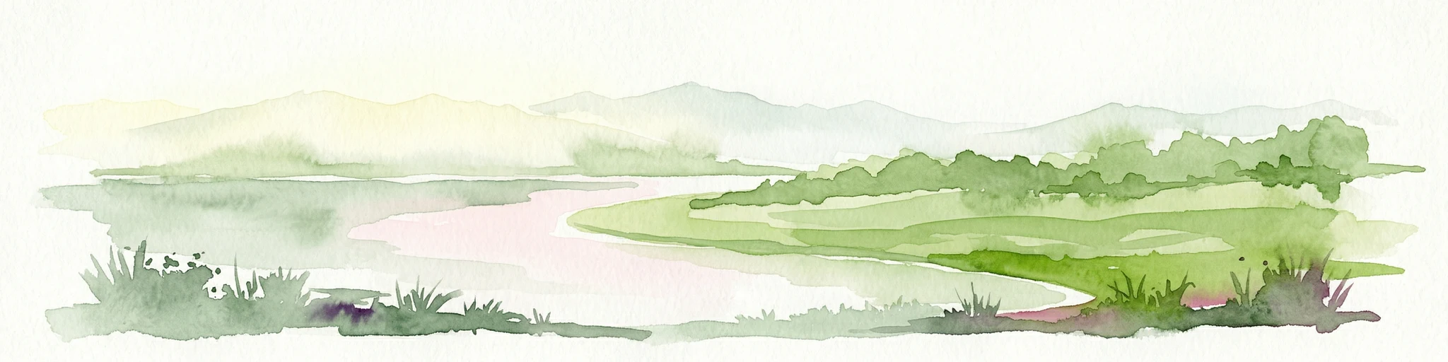
Watercolor illustration showing a lake surrounded by green hills and vegetation
National parkAustralia
79 km away#6 closest

Southeast

Lake Eildon National Park: Protected Landscape with Ancient Volcanic and Gold Mining Heritage

Explore mapped terrain and diverse eucalypt forests.

Lake Eildon National Park in Victoria's Central Highlands offers a unique protected landscape shaped by ancient volcanic activity and the region's gold rush era. This national park, centered around the large Lake Eildon reservoir, provides critical habitat within its diverse eucalypt forests. Discover its geological significance, historical mining sites, and mapped boundaries, offering a comprehensive view of its protected-area identity and regional geographic context.

Area
277.5 km²
Established
1997
IUCN
II
Relief
Mountain
National parkAustralia
79 km away#7 closest

South

Organ Pipes National Park: Victoria National Park Featuring Columnar Basalt and Volcanic Geology

Explore unique mapped terrain and ancient protected landscapes near Melbourne.

Organ Pipes National Park stands as a crucial protected area in Victoria, Australia, celebrated for its exceptional columnar basalt formations and deep geological heritage. This national park preserves a striking landscape where ancient Silurian marine sediments meet relatively recent Pleistocene volcanic basalt, offering a profound glimpse into regional geography and land formation. Discover the park's mapped boundaries, the dramatic geological features along Jacksons Creek, and the ecological restoration efforts that highlight its value as a natural monument.

Area
1.21 km²
Established
1972
IUCN
III
Visitors
50K annual
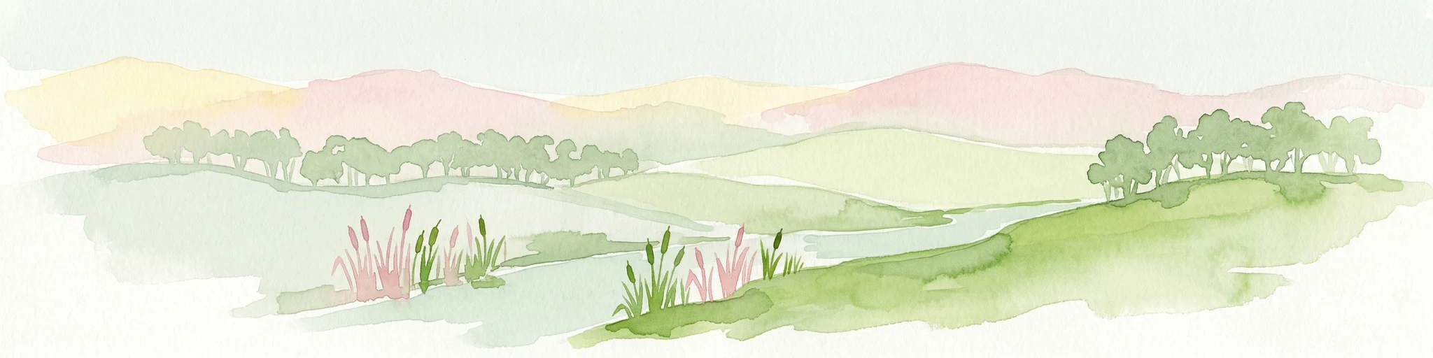
Watercolor illustration of a river landscape with green hills, trees, and pink reeds
National parkAustralia
82 km away#8 closest

North

Barmah National Park National Park: World's Largest River Red Gum Forest Landscape

Explore Mapped Boundaries and Wetland Geography

Barmah National Park in Victoria, Australia, is renowned for protecting the largest river red gum floodplain forest on Earth, a globally significant Ramsar-listed wetland. This protected area's landscape is defined by majestic eucalypts bordering freshwater marshes along the Murray River. Dive into its distinct geography, mapped terrain, and the protected status of this remarkable ecosystem, offering unparalleled opportunities for understanding regional natural landscapes and conservation.

Area
285.21 km²
Established
2010
IUCN
II
Relief
Lowland
MoriAtlas Explorer

Continue Exploring Heathcote-Graytown National Park's Protected Landscape and Geography

Delve deeper into the protected landscape of Heathcote-Graytown National Park to understand its specific geographic context and mapped features. This destination offers rich insights into the conservation of box-ironbark forests and their importance within the Great Dividing Range. Examining its park boundaries and surrounding regional geography reveals why this area is vital for biodiversity and atlas-based discovery.