Mori Atlas logo
Park earthquake history

Review documented seismic occurrences mapped by epicentre distance from the protected park landscapes.

Historical Earthquake Records and Recorded Seismic Activity Near Iron Gates Natural Park

This historical catalogue provides a structured overview of recorded earthquake events with epicentres situated in proximity to Iron Gates Natural Park. Each entry tracks specific seismic activity through event dates, calculated magnitudes, focal depths, and relative geographic distance to the park boundaries. Users can examine this long-term dataset to observe recorded seismic patterns within the Carpathian region surrounding this major Romanian protected area.

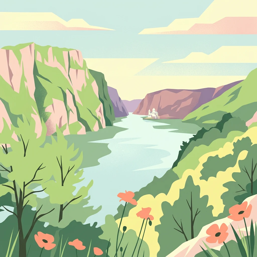
Illustrated view of a river flowing through a gorge between steep rock formations with green vegetation and pink flowers in the foreground

Romania's second-largest natural park protecting a dramatic Danube gorge and sub-Mediterranean biodiversity

Iron Gates Natural Park

Iron Gates Natural Park is a 115,666-hectare protected area in southwestern Romania, ranking as the country's second-largest natural park. The park encompasses the Romanian section of the famous Iron Gates gorge where the Danube River carves through the Carpathian Mountains, forming a dramatic landscape of steep cliffs, rapids, and river valleys. Located along the left bank of the Danube in Caraș-Severin and Mehedinți counties, the park stretches from Socol in the west to Drobeta-Turnu Severin in the east, with the Banat Mountains and Mehedinți Mountains rising to the north. The protected area contains 18 distinct protected zones and was designated as a Ramsar Wetland of International Importance in 2009, recognizing its significant ecological value. The park represents a remarkable convergence zone where Mediterranean, sub-Mediterranean, and Central European biogeographic elements meet, creating unique ecological communities found nowhere else in Romania.

Location
Romania
Park type
Protected landscape
Established
2000
Area
1,156.7 km²
Highest point
968 m
Iron Gates Natural Park Protected Landscape

Compare source records across mountains, valleys, cliffs, rivers, wetlands and caves

Trace earthquake observations around Iron Gates Natural Park

Explore earthquake reports around Iron Gates Natural Park, officially Parcul Natural Porțile de Fier, a 1,157 km² mixed protected landscape with mountains, valleys, cliffs, rivers, wetlands, lakes, caves and forest; Filter date, magnitude, depth and park distance. Proximity does not establish boundary occurrence, landscape effects, present hazard, seismic cause or future activity.

Sort by
Magnitude
Location

This page describes catalogued earthquakes associated with the park by epicentre location and distance. It does not establish causation, assess current danger, or predict future earthquakes.

No earthquake records match the current filters

Park atlas

Leave Danube gorge earthquake evidence for separate protected areas

Continue park exploration after Iron Gates Natural Park

The section following Iron Gates Natural Park’s earthquake collection opens independent park and protected-area profiles across MoriAtlas. Their appearance is not proof of shared Danube geography, limestone cliffs, wetland context, natural-park status, geographic closeness, seismic records, or dedicated earthquake content, so each destination remains distinct.
Watercolor illustration of a river flowing through a valley with rolling hills and trees
National parkSerbia
Park boundaries overlap#1 closest

South

Đerdap National Park: Europe's Grandest River Gorge and Protected Landscape

Explore Serbia's largest national park along the Danube River.

Đerdap National Park is defined by the Iron Gate, Europe's longest and most dramatic river gorge, a geological marvel carved through the Carpathian Mountains. This protected area showcases a complex karst landscape with towering cliffs, deep river sections, and rich biodiversity, including vital Tertiary relict species. The park's vastness and unique terrain offer a profound geographic context for understanding regional natural landscapes and conservation efforts. Explore its mapped boundaries and ecological significance.

Area
637.87 km²
Established
1974
IUCN
II
Relief
Mountain
Watercolor illustration of a river flowing through a valley with mountains and forests in the background
National parkRomania
4.2 km away#2 closest

Northeast

Domogled-Valea Cernei National Park: National Park with Mapped Protected Landscape

Explore its protected boundaries and regional geography.

Domogled-Valea Cernei National Park is recognized as a National Park, offering a distinct protected landscape for atlas-based discovery. This page provides focused insights into its mapped geographic extent and the character of its natural terrain. Understand the park's role within Romania's protected areas network and its unique geographic identity. Utilize this structured view to navigate the park's features and its surrounding landscape context for informed exploration.

Area
612.11 km²
Established
2000
IUCN
II
Relief
Mountain
National parkRomania
About 13 km away#3 closest

Northwest

Nera Gorge-Beușnița National Park: Karst Landscape and Protected Area in Romania

Explore the mapped geography of this protected Romanian landscape.

Nera Gorge-Beușnița National Park offers a detailed view of a protected karst canyon, featuring the Nera River's dramatic gorge and the picturesque Beușnița waterfalls. This protected area in Romania provides valuable context for understanding karst terrain, subterranean systems, and the geographic distribution of protected lands within the Balkan region. Users can explore its distinct landscape features and their place within Romania's atlas of natural protected areas.

IUCN
II
Relief
Mountain
Water
Major water bodies
Watercolor illustration showing rolling hills, scattered trees, and a soft pink sky
Protected landscapeMehedinți County
About 17 km away#4 closest

Northeast

Mehedinți Plateau Geopark Protected Landscape: Karst Geography and Regional Context

Explore Romania's unique limestone formations and karst landscapes.

The Mehedinți Plateau Geopark in Mehedinți County, Romania, is a significant protected landscape celebrated for its extensive karst features. This page offers detailed insights into the park's mapped boundaries, including its famous natural bridges like Podul lui Dumnezeu, vast limestone pavements, and cave systems. Understand its position within the broader regional geography of southwestern Romania, providing a solid foundation for atlas-driven exploration of this geologically rich area.

Area
1,065 km²
Established
2005
IUCN
V
Relief
Upland
Watercolor illustration of a landscape with mountains, forests, and a body of water
National parkRomania
25 km away#5 closest

North

Semenic-Cheile Carașului National Park: Romania's Protected Landscape Discovery

National Park Geography and Mapped Boundaries

Delve into Semenic-Cheile Carașului National Park, a protected landscape in Romania, with a focus on its atlas and geographic context. This page details the park's identity as a national park, its specific mapped boundaries, and its contribution to regional geographic understanding. Utilize MoriAtlas to explore the structured data that defines this protected area and its surrounding natural terrain, enhancing your comprehension of Romania's conservation landscapes.

IUCN
II
Scope
Terrestrial
Watercolor illustration depicting a landscape with mountains, a winding river, and grassy fields
Protected landscapeSerbia
About 33 km away#6 closest

Northwest

Vršac Mountains Protected Landscape: A Unique Pannonian Island Mountain Range in Serbia

Explore distinct geological formations and rich avian habitats.

The Vršac Mountains Protected Landscape offers a unique geographic perspective as one of Serbia's Pannonian island mountains, emerging dramatically from the surrounding plains. This protected area is recognized for its striking gneiss and schist formations, its status as Vojvodina's highest elevation, and its exceptional importance for birdwatching, hosting over 120 species. Delve into the mapped terrain and geological character that distinguish this vital natural region.

Area
170 km²
Established
1982
IUCN
V
Relief
Mountain
Watercolor illustration of a mountain range with forests, a lake, and distant hills under a light sky
National parkHunedoara County
46 km away#7 closest

Northeast

Retezat National Park National Park: Protected Landscape and Regional Geography

Mapped boundaries and landscape context in Hunedoara County.

Retezat National Park is a key protected area featured within MoriAtlas, offering structured geographic data and map-based insights. This national park's protected landscape is situated in Hunedoara County, Romania, contributing significantly to the regional topography and natural context of the Southern Carpathians. Explore its mapped boundaries and understand its role as a distinct natural entity.

Area
380.47 km²
Established
1935
IUCN
II
Relief
Mountain
Watercolor painting of a landscape featuring rolling hills, a lake, trees, and a sky with clouds
Natural monumentSerbia
About 68 km away#8 closest

West

Avala Natural Monument: Iconic Protected Landscape and Regional Geography Near Belgrade

Explore Avala's mapped terrain and natural monument significance.

Avala Natural Monument offers a unique protected landscape and significant geographic context for the Belgrade metropolitan area. As one of Serbia's oldest protected natural sites, its distinct mountain terrain, geological composition, and panoramic views provide a rich subject for atlas-based discovery. Explore the mapped boundaries and natural features that define this prominent Serbian natural monument.

Area
5.01 km²
Established
1859
IUCN
III
Relief
Mountain
MoriAtlas Explorer

Continue Exploring the Geography of Iron Gates Natural Park and Romania

Expand your geographic understanding by delving deeper into the mapped terrain and protected landscape features of Iron Gates Natural Park. MoriAtlas enables structured exploration, connecting this specific protected area to its surrounding Romanian geography and the wider atlas. Discover how its boundaries and natural context contribute to the region's ecological and topographical profile.