Mori Atlas logo
Park earthquake history

Review documented seismic events, event magnitudes, and epicentre distances in the Albertine Rift region.

Historical Earthquake Catalogue and Seismic Records for Kahuzi-Biéga National Park

This historical collection provides an accessible catalogue of recorded seismic events associated by proximity with the boundaries of Kahuzi-Biéga National Park. Explore data regarding event timing, calculated magnitude levels, and the spatial relationship between epicentres and the park landscape in the South Kivu Province. These records allow for the observation of regional tectonic history without characterizing current landscape stability or future seismic probability.

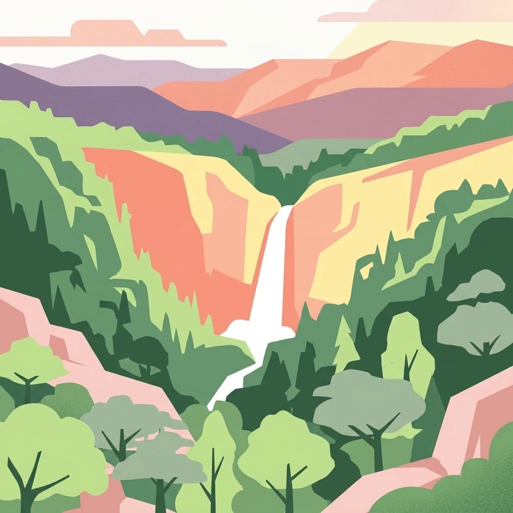
Stylized illustration of a waterfall in a mountainous forest landscape with layered hills and colorful terrain

DRC's flagship protected area spanning volcanic highlands and lowland rainforest, home to the last eastern lowland gorillas

Kahuzi-Biega National Park

Kahuzi-Biega National Park is a vast protected area in the eastern Democratic Republic of the Congo, situated near the western shore of Lake Kivu and the Rwandan border. Established in 1970 and expanded to encompass approximately 6,000 square kilometers, the park represents one of the largest and most ecologically significant national parks in the country. Its dramatic landscape spans two distinct zones: a mountainous eastern sector within the Mitumba Mountains of the Albertine Rift, featuring the dormant volcanoes Kahuzi and Biéga that lend their names to the park, and a sprawling western lowland expanse stretching from Bukavu toward Kisangani. The park was designated a UNESCO World Heritage Site in 1980 in recognition of its unique rainforest habitat and exceptional mammalian diversity, though it has remained on the List of World Heritage in Danger since 1997 due to regional political instability and ongoing conservation challenges. Kahuzi-Biega stands as the last refuge for the endangered eastern lowland gorilla and supports more mammal species than any other protected area in the Albertine Rift region.

Location
Democratic Republic of the Congo
Park type
National park
Established
1970
Area
6,000 km²
Highest point
3,308 m
Explore Kahuzi-Biega National Park Geography

Search Kahuzi-Biéga National Park events by depth, date, and distance

Investigate recorded earthquakes around Kahuzi-Biéga National Park

Earthquake evidence around Kahuzi-Biéga National Park is organised by reported epicentres and calculated distance from its Albertine Rift, volcanic-mountain, and forest geography. Dates, magnitudes, depths, locality labels, separations, and source records remain available for comparison without inferring causes, gorilla-habitat effects, current risk, or occurrence inside every mapped boundary.

Sort by
Magnitude
Location

This page describes catalogued earthquakes associated with the park by epicentre location and distance. It does not establish causation, assess current danger, or predict future earthquakes.

No earthquake records match the current filters

Park atlas

Continue beyond Kahuzi-Biéga National Park earthquake data

Explore additional parks after Kahuzi-Biéga National Park

After the Kahuzi-Biéga National Park earthquake catalogue, these routes carry exploration beyond an Albertine Rift landscape of volcanic mountains, tropical and montane forest, valleys, wetlands, grassland, rivers, and waterfalls. They are not claims of ecological, geographic, or seismic similarity, and imply no common designation, record depth, geological setting, hazard, current risk, or earthquake importance.
National parkRwanda
About 60 km away#1 closest

East

Nyungwe National Park: Rwanda's Protected National Park for Geographic Discovery

Explore its mapped natural landscape and protected terrain.

Nyungwe National Park represents a vital protected area within Rwanda, contributing a unique landscape to the nation's geographic atlas. This national park offers a specific focus for understanding protected lands, their mapped boundaries, and the natural terrain they encompass. By examining Nyungwe National Park, users gain insight into Rwanda's regional geography and the significance of its conservation efforts within the broader context of East African natural landscapes.

National parkBurundi
About 89 km away#2 closest

Southeast

Kibira National Park: Burundi's Protected National Park Landscape and Geography

Mapped protected area within the Great Rift Valley region.

Kibira National Park represents a vital protected national park entity within Burundi's diverse geography. As part of the Great Rift Valley's expanse, its mapped boundaries and landscape identity offer a focal point for understanding regional protected areas. This park's presence in Burundi contributes essential data to a structured atlas of natural landscapes and conservation lands across East Africa.

Area
400 km²
IUCN
II
Relief
Mountain
Climate
Tropical
National parkBurundi
About 98 km away#3 closest

Southeast

Rusizi National Park: National Park in Burundi's Geographic Landscape Context

Explore mapped protected area boundaries and regional geography.

Rusizi National Park stands as a significant protected area within Burundi, contributing to the nation's conservation atlas. This national park offers a distinct geographic profile, showcasing its specific landscape and terrain features within the East African context. Users can delve into the mapped boundaries of Rusizi National Park to understand its protected status and its role in the regional geography, facilitating detailed geographic discovery.

Area
90 km²
Established
1980
IUCN
II
Climate
Tropical
Watercolor illustration of rolling hills, mountains, and a river or lake
National parkDemocratic Republic of the Congo
About 103 km away#4 closest

North

Virunga National Park: Democratic Republic of the Congo's Premier Protected Landscape

Mapped boundaries and diverse Albertine Rift endemic geography.

Virunga National Park represents a pivotal protected area within the Democratic Republic of the Congo, characterized by an exceptional range of geographic features and vital ecosystems. Its protected landscape includes active volcanoes like Nyiragongo with its lava lake, the towering Rwenzori Mountains, and diverse lowland savannas. This atlas-focused entry highlights the park's unique position in the Albertine Rift, crucial for numerous endemic species and offering significant insight into regional geography and protected land context.

Area
7,800 km²
Established
1925
IUCN
II
Relief
Mountain
National parkWestern Province
About 112 km away#5 closest

Northeast

Gishwati Forest National Park: Discover Rwanda's Protected Landscape Geography

Mapped protected area boundaries and regional natural landscape.

Gishwati Forest National Park offers a focused exploration of a significant protected natural landscape in Rwanda's Western Province. This resource provides detailed geographic context, highlighting the park's mapped boundaries and its role within the country's conservation areas. Understand its terrain and regional landscape importance through an atlas-centric view.

Area
32.02 km²
Established
2015
IUCN
IV
Relief
Mountain
National parkRwanda
About 112 km away#6 closest

Northeast

Gishwati-Mukura National Park: Rwanda's Protected Montane Forest Landscape in the Albertine Rift

Explore its mapped boundaries and regional geography.

Gishwati-Mukura National Park, located in western Rwanda, is a vital protected area renowned for its montane forest ecosystems. This national park occupies mountainous terrain characteristic of the Albertine Rift, contributing significantly to watershed protection and regional biodiversity. Users can explore its specific geographic context, mapped landscape features, and its role within Rwanda's broader conservation atlas.

Area
32.02 km²
Established
2015
IUCN
II
Relief
Highland
Watercolor painting showing green and pink trees, hills in background, and grass in foreground
National parkRwanda
About 141 km away#7 closest

Northeast

Volcanoes National Park: Rwanda's Protected Volcanic Landscape and Regional Geography

Mapped park boundaries and East African geographic context.

Delve into Volcanoes National Park, a crucial protected area within Rwanda's northwest. This page offers detailed insight into its geography, highlighting the volcanic terrain and mapped boundaries that define this important national park. Understand its placement within the Virunga Mountains and its contribution to the natural landscape of East Africa, providing a foundation for atlas-based exploration of protected lands.

Area
160 km²
Established
1925
IUCN
II
Relief
Mountain
National parkKisoro District
About 159 km away#8 closest

Northeast

Mgahinga Gorilla National Park: A Geographic Study of Virunga Mountain Landscapes

Exploring protected boundaries and volcanic terrain in Kisoro District.

Mgahinga Gorilla National Park covers an essential range of montane forest and alpine zones across three dormant volcanoes in the Kisoro District of Uganda. This protected area functions as a key element of the broader Virunga mountain ecosystem, providing specialized habitats for endangered primate populations and endemic bird species. The dramatic vertical relief from bamboo forests to summit peaks defines this critical segment of the Albertine Rift conservation network.

Area
33.9 km²
Established
1991
IUCN
II
Relief
Mountain
MoriAtlas Explorer

Kahuzi-Biega National Park

Explore the map, landscapes, and protection details for Kahuzi-Biega National Park.