Why Kings Plains National Park stands out
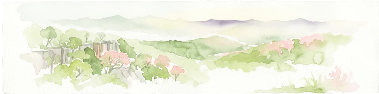
Kings Plains National Park is best known for its dramatic waterway system along Kings Plains Creek, which features permanent pools, cascading rapids, and waterfalls that descend into a gorge. The park is distinguished by its relatively untouched creek-side environment and the contrast between sandy woodland soils and the more fertile riparian zones. The area is particularly notable for its biodiversity, supporting a wide range of Australian marsupials, monotremes, and avifauna, including several endangered bird species. The spring wildflower display and the presence of the rare brush-tailed wallaby add to the park's ecological significance.
Kings Plains National Park history and protected-area timeline
Kings Plains National Park was established in January 1988, created specifically to preserve and protect the natural values of the Kings Plains area. The founding purpose centred on safeguarding the diverse array of wild animals and plants found within the area, as well as protecting the Kings Plains creek system with its distinctive water features. The decision to declare the area a national park reflected recognition of the ecological significance of the creek corridor and the surrounding woodland habitats. Since its establishment, the park has been managed by the NSW National Parks and Wildlife Service, which maintains the walking tracks, camping facilities, and manages the conservation program for the area.
Kings Plains National Park landscape and geographic character
The landscape of Kings Plains National Park is defined by the Kings Plains Creek corridor, which cuts through the terrain creating a sequence of water features including non-drying pools, rapids, and waterfalls that descend into a gorge. The surrounding land is characterised by sandy soils supporting shrubland vegetation, with more fertile soils concentrated in the creek vicinity. The woodland landscape features a canopy of iron-bark, cypress pine, stringybarks, yellow box, and apple box eucalypts. The terrain provides a natural contrast between the more arid sandy uplands and the lush riparian zone along the watercourse. The creek system serves as the visual and ecological focal point of the park, with the falls and gorge representing the most dramatic geological features.
Kings Plains National Park ecosystems, habitats, and plant life
The nature of Kings Plains National Park encompasses a diverse woodland ecosystem on the Northern Tablelands, characterised by iron-bark and cypress pine woodland with understorey shrubs. The riparian zone along Kings Plains Creek supports more lush vegetation where soil fertility is higher, creating a distinct habitat contrast within the park. During spring, the park comes alive with colourful wildflowers, enhancing the natural appeal of the woodland. The permanent water in the creek system supports ecological processes year-round, sustaining both aquatic and terrestrial species. The park's vegetation includes several rare shrub species such as the grey guinea flower, folded leaf waxflower, and Rodd's star-hair, indicating the ecological significance of the area.
Kings Plains National Park wildlife and species highlights
The wildlife of Kings Plains National Park encompasses a notable variety of Australian fauna, with the creek system and fertile riparian zones providing critical habitat. Large marsupials including eastern grey kangaroos, wallaroos, and wallabies inhabit the park, particularly near water sources and the more fertile creek areas. Koalas are present in the park, resting in the eucalypt trees that dominate the woodland. The rare brush-tailed wallaby has been recorded within the park boundaries. The creek supports platypus populations, though habitat above the waterfalls is considered fragile. The avian diversity is particularly impressive, with 82 bird species recorded in the area. Common species include eastern and crimson rosellas, king parrots, yellow-tailed black cockatoos, currawongs, wattle birds, and various honeyeaters. Endangered species present include glossy black cockatoos, turquoise parrots, and regent honeyeaters. The creek harbours straw-necked ibis, while the skies support birds of prey including wedge-tailed eagles and peregrine falcons.
Kings Plains National Park conservation status and protection priorities
Kings Plains National Park was created specifically for conservation purposes, protecting the natural values of the Kings Plains creek system and surrounding woodland. The park preserves habitat for several endangered bird species including the glossy black cockatoo, turquoise parrot, and regent honeyeater, all of which are listed as threatened. The permanent water features of the creek provide critical refuge for wildlife, with the fragile habitat above the falls receiving particular attention for protection. The diverse vegetation communities, including rare shrub species, are maintained through the protected area status. The park contributes to the conservation of representative Northern Tablelands ecosystems, preserving both the woodland and riparian environments for ongoing ecological processes.
Kings Plains National Park cultural meaning and human context
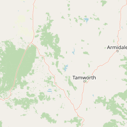
Kings Plains National Park is situated in the Northern Tablelands of New South Wales, a region with historical associations with Aboriginal communities. While the Wikipedia source does not provide specific cultural heritage details, the area would have been part of the traditional lands of local Indigenous peoples. The park is accessible from the nearby towns of Inverell and Glen Innes, both of which are regional centres in the New England area. The park's relatively low profile compared to other Australian national parks reflects its location in a less populated regional area rather than any lack of natural significance.
Top sights and standout views in Kings Plains National Park
The primary highlight of Kings Plains National Park is the Kings Plains Creek system with its sequence of permanent pools, rapids, and waterfalls descending into a gorge. The walking track to Kings Plains Falls, taking approximately 2.5 hours, represents the main visitor activity. The park offers a more remote and less crowded experience compared to better-known Australian national parks. The spring wildflower display provides a seasonal highlight, while the diversity of wildlife, particularly the presence of endangered bird species and the opportunity to spot platypus in the creek, adds to the park's appeal. Basic facilities including camping areas and picnic spots allow visitors to experience this protected landscape.
Best time to visit Kings Plains National Park
The best time to visit Kings Plains National Park is during the spring months when wildflowers are at their most colourful and the park's vegetation is at its most vibrant. The mild temperatures of spring and autumn generally provide the most comfortable conditions for bushwalking and outdoor activities. Summer months can bring warmer conditions, though the creek provides some relief. The permanent water in Kings Plains Creek means that the park's water features are accessible year-round, though winter temperatures in the Northern Tablelands can be cold. Visitors planning activities should consider the seasonal conditions and check with park management regarding any access considerations.