Mori Atlas logo
Park earthquake history

Review documented seismic occurrences based on epicentre distance and historical event magnitude

Historical Earthquake Records and Seismic Data for Kings Plains National Park in New South Wales

This historical catalogue provides a structured overview of seismic activity recorded in the region surrounding Kings Plains National Park. Each entry tracks specific earthquake events, detailing the date, magnitude, depth, and calculated distance from the park boundaries. The data allows for a geographic perspective on past regional seismic events without representing a risk assessment or a prediction of future activity.

Related tags

National parksNew South WalesProtected areasAustralian woodlandRiparian ecosystems

A protected creek-side wilderness in the Northern Tablelands of New South Wales

Kings Plains National Park

Kings Plains National Park is a protected area located in the Northern Tablelands region of New South Wales, Australia, approximately 478 kilometres north of Sydney. The park spans roughly 57 square kilometres and was established in January 1988 to preserve the significant biodiversity and natural waterways found within its boundaries. The park is centred around Kings Plains Creek, which flows through the landscape creating a sequence of non-drying pools, rapids, and waterfalls that cascade into a scenic gorge. The area features sandy soils supporting diverse woodland vegetation, with more fertile soils concentrated along the creek corridor. The park protects a notable variety of Australian wildlife, including eastern grey kangaroos, wallabies, koalas, and platypus, as well as over 80 recorded bird species. While not widely known to the general public, Kings Plains offers visitors opportunities for bushwalking, camping, and experiencing a relatively untouched natural environment in regional New South Wales.

Location
Australia
Park type
National park
Established
1988
Area
57 km²
Kings Plains National Park Atlas

Search Kings Plains National Park records by magnitude and distance

Review earthquake observations near Kings Plains National Park

Explore reported earthquakes in relation to Kings Plains National Park, a 57 km² New South Wales park established in 1988 with major water and river attributes; each event shows source date and place, magnitude, depth and calculated park distance. The geographic link does not place the epicentre inside the park, connect it to waterways or predict seismic conditions.

Sort by
Magnitude
Location

This page describes catalogued earthquakes associated with the park by epicentre location and distance. It does not establish causation, assess current danger, or predict future earthquakes.

No earthquake records match the current filters

Park atlas

Move beyond Kings Plains National Park historical earthquake data

Explore other park destinations after Kings Plains National Park

The Kings Plains National Park earthquake record transitions to a separate collection of protected park pages. Those links do not establish shared plains, national-park status, geology, earthquake observations, geographic closeness, seismic relevance, hazards, risk, or comparable source depth.
National parkNew South Wales
About 38 km away#1 closest

South

Single National Park National Park: A Protected Landscape within New South Wales

Explore mapped boundaries and regional geography.

Single National Park represents a vital protected area, contributing significantly to the natural landscape of New South Wales. This entry offers a deep dive into its geographic scope, detailing mapped park boundaries and the surrounding regional context. It serves as a foundational piece for understanding the park's identity as a protected natural asset and its place within Australia's broader conservation geography.

Area
25.63 km²
Established
1999
IUCN
II
Relief
Mixed relief
National parkNew South Wales
46 km away#2 closest

South

Indwarra National Park: New South Wales National Park Protected Landscape and Geographic Context

Explore mapped park boundaries and regional geography.

Indwarra National Park is identified as a significant protected area within New South Wales, Australia, offering a unique focus for geographic exploration. As a national park, its mapped boundaries define a distinct natural landscape. This page provides detailed atlas-style information, enabling a deeper understanding of its terrain, regional context, and protected-area significance for structured discovery.

Area
9 km²
Established
1999
IUCN
Ia
Relief
Mountain
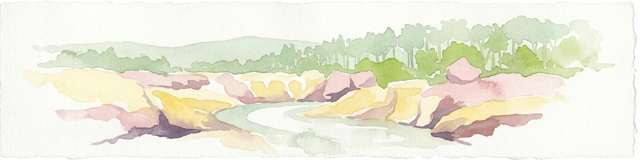
Watercolor painting of a river flowing between rocky cliffs with forest in the background
National parkNew South Wales
47 km away#3 closest

Northwest

Kwiambal National Park: New South Wales National Park with Granite Landscapes and River Confluence

Explore the dramatic scenery of MacIntyre Falls and surrounding protected terrain.

Kwiambal National Park is a significant protected area in New South Wales, Australia, celebrated for its unique granite outcrops and the spectacular confluence of the Severn and Macintyre Rivers at MacIntyre Falls. This national park provides a clear example of regional protected landscape identity, offering valuable context for atlas-driven discovery of Australia's natural geography and mapped terrain. The park's distinctive features contribute to its importance as a conservation reserve within the New England region.

Area
65.17 km²
Established
2000
IUCN
II
Scope
Terrestrial
National parkNew South Wales
52 km away#4 closest

East

Butterleaf National Park: National Park Protected Landscape with Regional Geographic Context

Mapped boundaries and terrain within New South Wales.

Butterleaf National Park represents a distinct national park entity within the geographic landscape of New South Wales. This resource provides a focused atlas view, detailing the park's protected boundaries and its specific contribution to the regional terrain. Users can explore the mapped geography and understand the park's identity as a significant protected natural area, offering foundational data for landscape context and conservation analysis.

Area
30 km²
Established
1999
IUCN
II
Scope
Terrestrial
National parkNew South Wales
55 km away#5 closest

East

Capoompeta National Park National Park: Protected Landscape and Regional Geography

Explore mapped boundaries and natural terrain in New South Wales.

Capoompeta National Park represents a key protected landscape entity within New South Wales, Australia. This detail page provides focused geographic information, emphasizing its status as a national park and its contribution to the regional atlas. Users can investigate the park's mapped terrain, understand its protected land characteristics, and grasp its geographical setting within the Australian context.

Area
39 km²
Established
1999
IUCN
II
Relief
Mountain
Nature reserveNew South Wales
63 km away#6 closest

Southeast

Little Llangothlin Nature Reserve: Exploring the New England Plateau Wetlands and Landscape

High-elevation freshwater lagoons and basalt landscapes in New South Wales

Little Llangothlin Nature Reserve stands as a preserved fragment of the New England Tablelands. This high-elevation wetland habitat provides essential refuge for diverse species, showcasing rare sedgeland, herbland, and woodland communities within a landscape dominated by agricultural development.

Area
2.57 km²
Established
1979
IUCN
IV
Relief
Upland
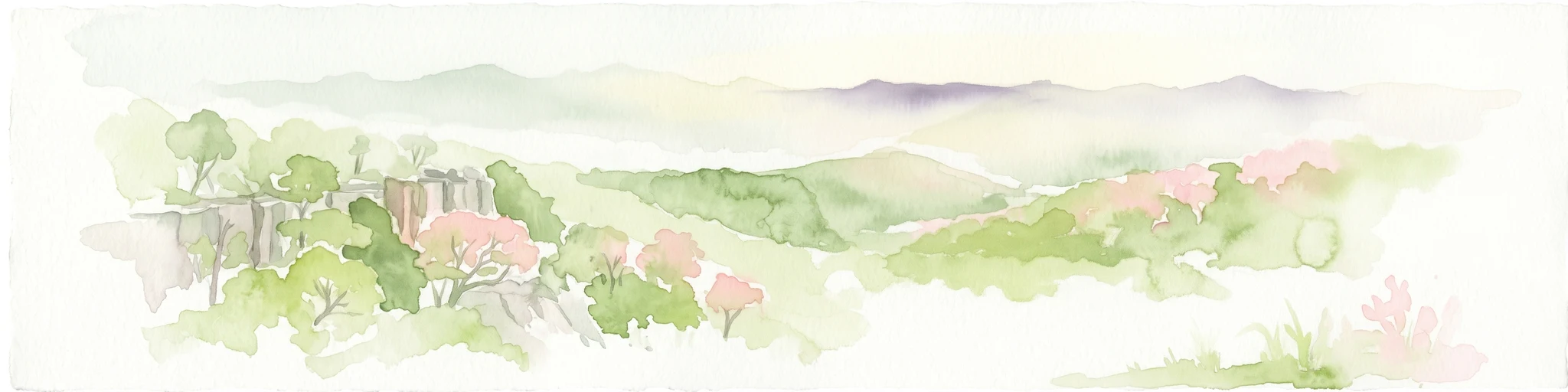
Watercolor illustration of rolling hills, green forests, and pink flowering trees
National parkNew South Wales
63 km away#7 closest

Southeast

Guy Fawkes River National Park: National Park Geographic Context and Mapped Boundaries

Explore the protected landscape and regional geography of this New South Wales national park.

Gain a structured understanding of Guy Fawkes River National Park, a key national park in New South Wales, Australia. This entry provides detailed insights into its mapped geographic boundaries, its role as a protected landscape, and its contribution to the broader regional context for atlas exploration. Examine the park's place within the natural terrain of New South Wales for a clearer picture of conservation lands.

Area
1,005.9 km²
Established
1972
IUCN
Ib
Relief
Highland
Nature reserveNew South Wales
About 63 km away#8 closest

East

Mann River Nature Reserve: Geography and Protected Forest Terrain in New South Wales

Highland river valleys and Great Dividing Range landscapes

Spanning over 7,000 hectares of rugged highland terrain, Mann River Nature Reserve provides a vital protected habitat within the Northern Tablelands. The landscape is defined by the incision of the Mann River through deep, forested gorges and sharp mountain ridges, creating a distinct physical setting that serves as a sanctuary for native Australian wildlife.

Area
71.28 km²
Established
1985
IUCN
II
Relief
Mountain
MoriAtlas Explorer

Continue exploring Kings Plains National Park's geography and protected area features

Deepen your understanding of Kings Plains National Park by examining its specific geographic attributes and its position within the protected lands of New South Wales. This detailed exploration allows for a richer appreciation of the park's mapped boundaries and its role in the regional landscape. By continuing your atlas discovery here, you gain granular insight into one of Australia's significant natural landscapes.

Global natural geography