Mori Atlas logo
Park earthquake history

Review historical earthquake data indexed by epicentre distance from the park landscape

Recorded Seismic Event History and Earthquake Catalogue for La Campana National Park

This collection provides a searchable catalogue of recorded seismic events that have occurred in the proximity of La Campana National Park. Each record includes event timing, magnitude, focal depth, and calculated distance from the park territory, derived from public geological data. Researchers and visitors can trace historical seismic activity across this coastal mountain region to better understand the local environment without inferring future hazard or specific ground impacts.

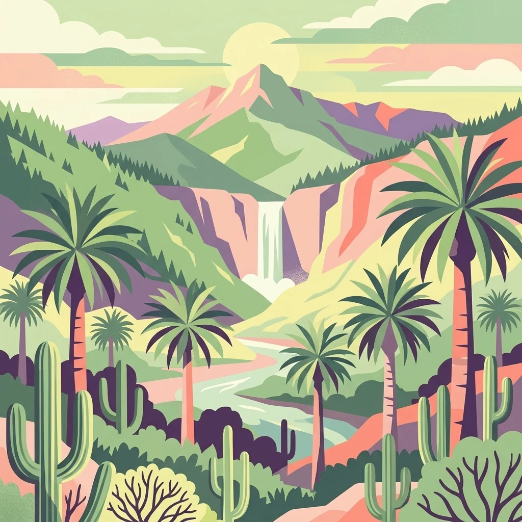
Illustration showing palm trees, cacti, a waterfall, and mountains

Chile's coastal mountain sanctuary of the southernmost palm and Darwin's historic summit

La Campana National Park

La Campana National Park is a protected area in central Chile located in the Cordillera de la Costa, Quillota Province, within the Valparaíso Region. The park encompasses approximately 80 square kilometers of Mediterranean ecosystems and is renowned for containing one of the last remaining natural forests of the Chilean Wine Palm (Jubaea chilensis), a species that once dominated much of central Chile but now survives in only a few locations. The park takes its name from Cerro La Campana, an 1,828-meter mountain whose distinctive shape resembles a bell when viewed from the Aconcagua Valley. In 1834, the renowned naturalist Charles Darwin climbed this peak during the second voyage of HMS Beagle, adding significant scientific heritage to the area. In 1984, UNESCO designated La Campana, together with the Lago Peñuelas National Reserve, as a Biosphere Reserve recognizing its exceptional biodiversity value. The park sits within the Chilean matorral ecoregion and protects a remarkable concentration of plant species, with roughly 20 percent of Chile's total flora represented within its boundaries.

Location
Chile
Park type
National park
Established
1967
Area
80 km²
Highest point
1,828 m
La Campana National Park Atlas

Review La Campana National Park events by magnitude and distance

Search historical earthquake records around La Campana National Park

La Campana National Park earthquake records are organised by epicentre position and measured park distance, not presumed placement inside its limits. Review dates, magnitudes, depths, locality names, distance values, and source citations as historical records without attributing seismic causation to park conditions, defining present danger, or predicting events.

Sort by
Magnitude
Location

This page describes catalogued earthquakes associated with the park by epicentre location and distance. It does not establish causation, assess current danger, or predict future earthquakes.

No earthquake records match the current filters

Park atlas

Continue from La Campana National Park earthquake data

Discover other protected destinations after La Campana National Park

An independently chosen group of protected destinations follows the historical earthquake data for La Campana National Park. Their appearance does not indicate shared national-park designation, terrain, geology, seismic observations, geographic proximity, hazard conditions, risk, or equivalent evidence coverage.
National parkSantiago Metropolitan Region
94 km away#1 closest

Southeast

Río Clarillo National Park: National Park Boundaries and Geographic Atlas Context

Mapped protected landscape in Santiago Metropolitan Region.

Discover the distinct protected landscape of Río Clarillo National Park, a national park situated within Chile's Santiago Metropolitan Region. This entry is designed for atlas-style exploration, focusing on the park's mapped boundaries, its integration into the regional geography, and its significance as a protected natural area. Understand the geographic context and landscape characteristics that define Río Clarillo National Park, enabling a deeper appreciation of its role within the broader conservation map.

Area
101.85 km²
Established
1982
IUCN
IV
Relief
Upland
National parkLibertador General Bernardo O'Higgins Region
127 km away#2 closest

South

Las Palmas de Cocalán National Park: Chile's National Park Protected Landscape Atlas

Explore geographic boundaries and regional context.

Delve into the protected landscape identity of Las Palmas de Cocalán National Park, situated within the Libertador General Bernardo O'Higgins Region. This page provides detailed atlas-style information, focusing on the park's geographic features and its role as a national park. Understand the mapped natural terrain and the regional importance of this conserved area for comprehensive geographic discovery.

Area
3.709 km²
Established
1971
IUCN
II
Relief
Mixed relief
National parkArgentina
180 km away#3 closest

Northeast

El Leoncito National Park: High-Altitude Andean Puna and Steppe Protected Landscape

Explore mapped boundaries and unique geographic context in San Juan Province.

El Leoncito National Park in Argentina's San Juan Province preserves critical high-altitude ecosystems, including the Central Andean Puna and Southern Andean steppe. This protected landscape spans dramatic mountain terrain, with elevations reaching over 6,000 meters, providing a unique geographic setting. The park's conservation value is underscored by its representative ecological samples and stark natural beauty, offering a distinct regional geography for exploration.

Area
897.06 km²
Established
2002
IUCN
II
Relief
Mountain
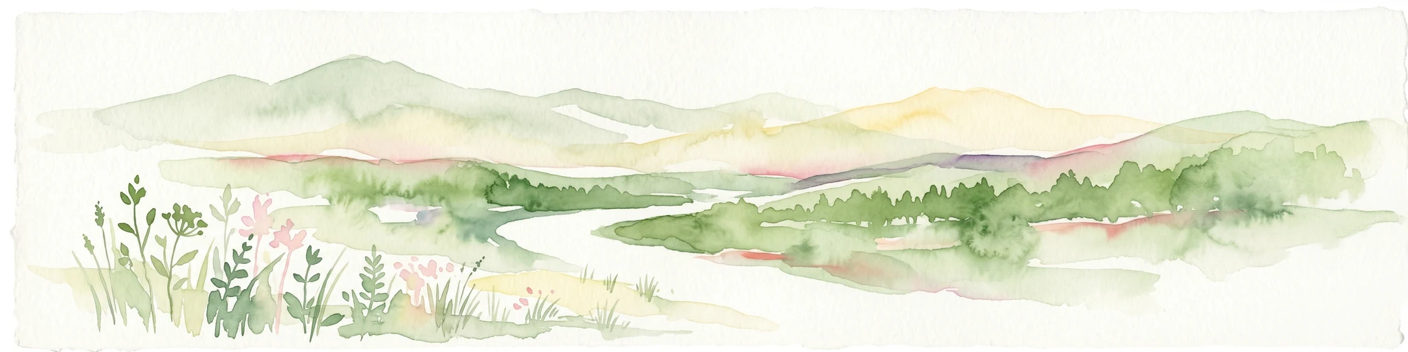
Watercolor illustration of a river winding through a valley with rolling hills and green vegetation in the foreground.
National parkCoquimbo Region
234 km away#4 closest

North

Bosque de Fray Jorge National Park: National Park Protected Landscape & Geographic Atlas

Explore mapped boundaries and regional natural landscape context.

Bosque de Fray Jorge National Park is a key protected area offering unique insights into Chile's natural landscapes. This entry provides detailed geographic context, focusing on its status as a national park and its mapped boundaries within the Coquimbo Region. Discover its place in the regional atlas and understand its protected landscape identity for focused geographic exploration.

Area
100 km²
Established
1941
IUCN
II
Visitors
13.1K annual
National parkMaule Region
266 km away#5 closest

South

Radal Siete Tazas National Park: Iconic Seven Cups Waterfall System and Pre-Andean Terrain Exploration

Mapped protected landscape in Maule Region, Chile.

Radal Siete Tazas National Park showcases a remarkable cascade of seven natural rock pools and waterfalls along the Claro River, a defining feature within its steep pre-Andean topography. This national park in Chile's Maule Region offers a landscape rich with volcanic influences and dramatic riverine erosion. Users can explore its distinct terrain, mapped boundaries, and the striking visual geography that makes this protected area a significant natural landmark for atlas-based discovery.

Area
41.4 km²
Established
2008
IUCN
II
Relief
Mountain
National parkArgentina
351 km away#6 closest

East

Sierra de las Quijadas National Park: Protected Landscape & Geographic Atlas in Argentina

Explore the unique Chaco-Monte ecotone and dramatic sandstone terrain.

Sierra de las Quijadas National Park in San Luis Province, Argentina, is a protected area recognized for its critical role as a biodiversity bridge between the Semiarid Chaco and High Monte ecoregions. Its landscape is marked by rugged mountains, vivid red sandstone cliffs, and significant paleontological sites, offering a unique look at Cretaceous-era geology. This park provides a rich opportunity for atlas exploration, allowing discovery of its distinctive protected landscape and the regional geography it inhabits.

Area
735.33 km²
Established
1991
IUCN
II
Relief
Mountain
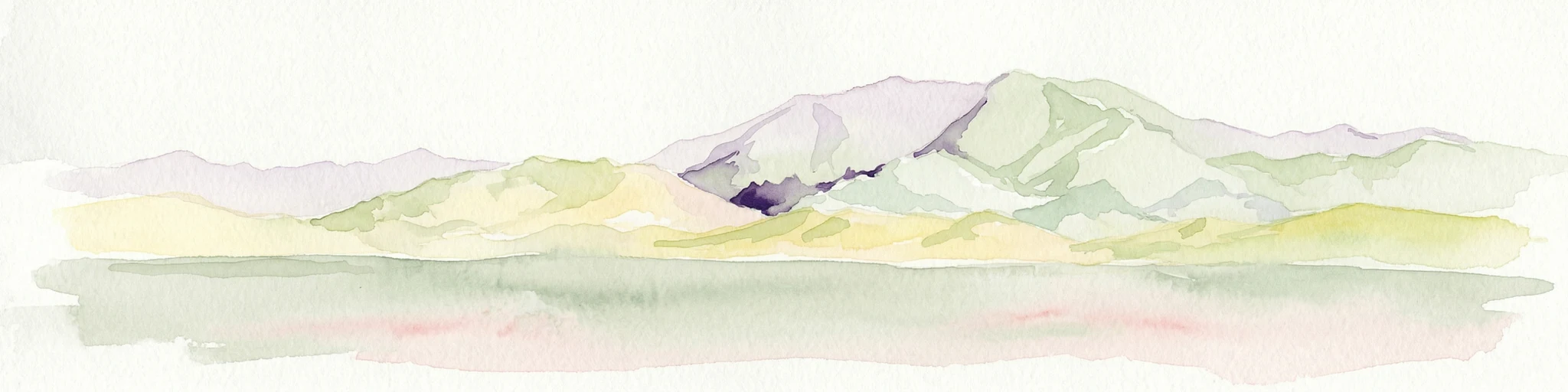
Watercolor illustration of mountain ranges with green and yellow hills, a central dark peak, and pinkish foreground
National parkArgentina
414 km away#7 closest

Northeast

San Guillermo National Park: High Andes Protected Landscape & Vicuña Conservation Area

Explore its rugged terrain and arid mountain ecosystem.

San Guillermo National Park, a key national park in Argentina's San Juan Province, protects over 166,000 hectares of high-altitude Andean wilderness. Its landscape is defined by arid mountain ranges and expansive puna grasslands, serving as a critical sanctuary for vicuñas and other high-Andean wildlife. This page offers detailed geographic context for understanding the park's protected boundaries, unique terrain, and its importance as a mapped conservation area.

Area
1,660 km²
Established
1998
IUCN
II
Relief
Mountain
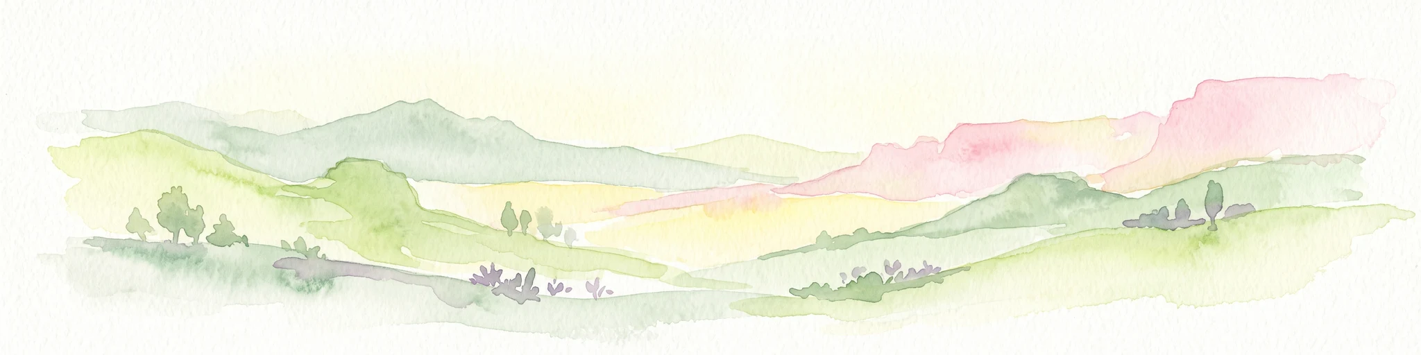
A watercolor painting showing a panoramic view of rolling hills with soft green, yellow, and pink hues on a white background.
State or regional parkSan Juan Province
About 430 km away#8 closest

Northeast

Ischigualasto Provincial Park: A Detailed Atlas of Argentina's Triassic Fossil Landscapes

Geological mapping of wind-eroded badlands in San Juan Province

Ischigualasto Provincial Park is a globally significant protected area that offers a rare view into the Late Triassic period. Known as the Valley of the Moon, its arid desert basin and exposed rock sequences document the emergence of the first dinosaurs. This destination provides an intensive look at how extreme aridity and constant winds have sculpted a distinctive, colorful badlands landscape in the foothills of the Central Sierras.

Area
603.7 km²
Established
1971
Relief
Upland
Climate
Arid
MoriAtlas Explorer

Continue Exploring La Campana National Park's Geographic Significance

Delve deeper into the unique protected landscape of La Campana National Park, understanding its specific mapped boundaries and role within the Valparaíso Region's geography. This exploration uncovers critical details about its relict palm forests and mountainous terrain, offering valuable insight for any atlas-focused study of Chile's natural areas.

Global natural geography