Mori Atlas logo
Park earthquake history

A chronological catalogue of regional seismic activity associated by location with protected landscapes

Recorded Earthquake History and Seismic Records Near Lanín National Park in Argentina

Explore an archived collection of recorded seismic events that occurred within proximity to the boundaries of Lanín National Park. This catalogue provides accessible data on historical earthquakes including event dates, magnitude readings, and epicentre distance metrics derived from geological records. The dataset serves as a factual resource for understanding regional seismic trends around this protected Andean area without offering hazard assessments or geological predictions.

Related tags

volcanic landscapesPatagonian forestsnational parksAndean mountainsglacial lakes

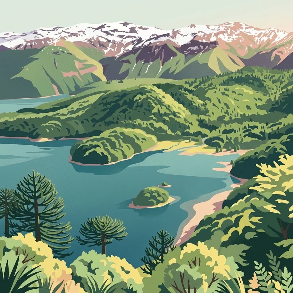
Patagonian volcanic landscapes and ancient araucaria forests in Argentina's Andes

Lanín National Park

Lanín National Park is a vast protected area in the Neuquén Province of northwestern Patagonia, Argentina, established in 1937 and spanning approximately 379,000 hectares. The park is defined by the iconic Lanín volcano, a massive stratovolcano that rises dramatically from the surrounding landscape and serves as one of the most recognizable natural landmarks in Argentine Patagonia. The park encompasses a remarkable diversity of ecosystems, from humid temperate forests at lower elevations to alpine environments near the volcanic summit. Its forests are particularly notable for containing species of Fagaceae and conifers, including the lenga beech and araucaria, many of which are endemic to this region and found nowhere else in Argentina. The park also protects several significant glacial lakes, including Huechulafquen, Aluminé, and Lácar, which add to the scenic richness of the area and support recreational activities such as sport fishing.

Location
Argentina
Park type
National park
Established
1937
Area
3,790 km²
Lanín National Park protected area

Analyze regional geologic history through calculated epicenter distances and depths

Explore Historical Earthquake Records Near Lanín National Park

The regional seismic catalog compiles historically recorded earthquakes mapped by the spatial distance between their epicenters and the borders of Lanín National Park. Each factual entry provides specific information regarding origin date, magnitude, focal depth, reported location, and calculated park proximity, with direct links to primary seismological sources.

Sort by
Magnitude
Location

This page describes catalogued earthquakes associated with the park by epicentre location and distance. It does not establish causation, assess current danger, or predict future earthquakes.

No earthquake records match the current filters

Park atlas

Expand your geographic exploration with mapped profiles of global conservation areas

Discover Other National Parks and Protected Areas Beyond Lanín National Park

After examining the regional records of Lanín National Park, researchers and travelers can transition to discovering a wider selection of global protected landscapes. Mapped profiles provide detailed overviews of boundary geography, administrative designations, and localized natural features across diverse environments.
A digital illustration of a lake shoreline with fallen logs in the foreground, coniferous trees on the left, and jagged mountains in the distance under a pale sky.
National parkRío Negro Province
Park boundaries overlap#1 closest

South

Nahuel Huapi National Park

Explore mapped natural terrain and park boundaries within Patagonia.

Nahuel Huapi National Park, in Río Negro Province, Argentina. Landscapes: mountains, hills, and valleys.

Area
7,050 km²
Established
1934
IUCN
II
Relief
Mountain
A stylized illustration of a snow-capped volcanic peak towering above a dense forest of Monkey Puzzle trees under a pastel sky.
National parkLa Araucanía Region
Park boundaries overlap#2 closest

Northwest

Villarrica National Park: Chile's Protected Landscape in La Araucanía Region

Mapped boundaries and regional geography exploration

Villarrica National Park represents a crucial protected area within the diverse geography of Chile's La Araucanía Region. This atlas-focused entry provides detailed geographic context and mapped park boundaries, essential for understanding the park's landscape identity. Explore the foundational elements of this national park for structured geographic discovery.

Area
630 km²
Established
1940
IUCN
II
Visitors
115.8K annual
An artistic, flat-style digital illustration of a mountainous landscape with a lake in the foreground, surrounded by evergreen forests and distinct umbrella-shaped monkey puzzle trees, with a smoking snow-capped volcano in the distance.
National parkLa Araucanía Region
13 km away#3 closest

North

Huerquehue National Park: Ancient Araucaria Forests and Glacial Lakes in La Araucanía

Mapped protected area in the Andean foothills of Southern Chile.

Delve into the protected landscape of Huerquehue National Park, a key component of Chile's southern conservation efforts within the La Araucanía Region. This national park is defined by its ancient araucaria forests, home to the iconic monkey puzzle tree, and a network of clear glacial lakes including Tinquilco Lake. Its mountainous terrain, rising from 720 to 2,000 meters, showcases a vital representative of the Andean-Patagonian forest ecosystem, offering rich context for map exploration and understanding protected-area geography.

Area
125 km²
Established
1967
IUCN
II
Visitors
35.5K annual
Watercolor illustration of a mountain range with a lake and forested hills in soft green, pink, and beige tones
National parkLos Lagos Region
21 km away#4 closest

Southwest

Puyehue National Park: Mapped Boundaries and Volcanic Landscape in Los Lagos Region

Explore Chile's dramatic Andean protected area.

Puyehue National Park is a key protected area in the Los Lagos Region of Chile, recognized for its distinctive volcanic landscapes and geothermal features. This detail page offers an atlas-centric view, highlighting the park's mapped boundaries, the terrain shaped by volcanoes like Puyehue, and its ancient temperate rainforest ecosystems. Understand its geographic context within the Andes and its significance as a protected national park.

Area
1,070 km²
Established
1941
IUCN
II
Visitors
133K annual
A stylized digital illustration of a lake landscape framed by tree branches in the foreground, showing a curved sandy beach, a long wooden pier, and distant snow-capped mountains under a soft light.
National parkNeuquén Province
39 km away#5 closest

South

Los Arrayanes National Park: Neuquén Province's Protected Arrayán Forest Atlas

Explore the ancient arrayán forest and mapped terrain.

Los Arrayanes National Park, nestled in Neuquén Province, is celebrated for its exceptional arrayán forest, one of the world's most concentrated stands of Luma apiculata. This protected area showcases a unique landscape where ancient, gnarled trees with striking cinnamon bark thrive on the Quetrihué Peninsula, overlooking Nahuel Huapi Lake. Its protected status ensures the preservation of this botanical marvel, offering a distinct geographical and ecological profile within the Patagonian region.

Area
17.53 km²
Established
1971
IUCN
II
Relief
Upland
A digital illustration showing a panoramic view of a blue lake surrounded by dense green forests and distant snow-dusted mountains, with several araucaria trees visible in the foreground.
National parkLa Araucanía Region
42 km away#6 closest

North

Conguillío National Park

Discover unique terrain within La Araucanía Region's geography.

Conguillío National Park, in La Araucanía Region, Chile. Landscapes: mountains, valleys, and forests.

Area
608 km²
Established
1950
IUCN
II
Visitors
21.8K annual
A stylized flat illustration showing a river cascading over rocks toward the viewer, surrounded by evergreen forests, with a prominent snow-capped volcano rising in the background under a soft sunrise sky.
National parkLos Lagos Region
52 km away#7 closest

Southwest

Vicente Pérez Rosales National Park: Protected Landscape & Regional Geography Atlas

Mapped park boundaries and natural terrain in Los Lagos Region.

Delve into the protected area identity of Vicente Pérez Rosales National Park, a significant national park situated in Chile's Los Lagos Region. This detailed exploration focuses on understanding the park's geographic setting, its mapped landscape features, and its contribution to the regional atlas of protected territories. Discover the natural terrain and boundary context that define this unique Chilean landscape.

Area
2,530 km²
Established
1926
IUCN
II
Visitors
332.3K annual
A digital illustration showing a bright, stylized sunset over a calm lake with low-lying steppe vegetation in the foreground and a flat-topped mountain in the background.
National parkNeuquén Province
66 km away#8 closest

Northeast

Laguna Blanca National Park: National Park in Neuquén Province, Patagonia

Mapped protected area and regional landscape context.

Laguna Blanca National Park represents a key protected landscape within the expansive geography of Neuquén Province, located in the Patagonia region of Argentina. This national park entity serves as a critical node for atlas exploration, allowing users to understand its specific protected boundaries and its contribution to the regional protected-area network. Investigate Laguna Blanca National Park to gain insight into its unique geographic setting and its role within the mapped natural areas of Western Argentina.

Area
112.5 km²
Established
1940
IUCN
II
Relief
Upland
MoriAtlas Explorer

Lanín National Park

Explore the map, landscapes, and protection details for Lanín National Park.

Global natural geography