
Rivers
Park geography
Analyzing mapped boundaries, elevation gradients, and varied natural landscape features
Detailed Geographic Profile of Madidi National Park within the La Paz Department of Bolivia
This geographic profile details the physical scope of Madidi National Park, spanning 18,957 square kilometers within the La Paz Department. Discover the complex terrain of this protected area, which ranges from 180 to 5,760 meters in elevation. The landscape includes diverse natural features from alpine meadows and mountain peaks to dense tropical forests and river systems.
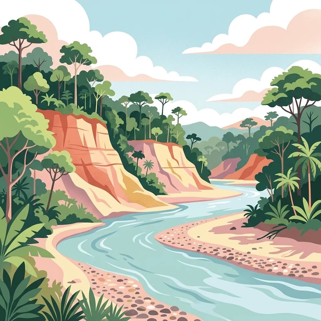
The world's most biologically diverse national park, spanning Andean peaks to Amazon rainforest
Madidi National Park
Madidi National Park is a vast protected area in northwestern Bolivia, established in 1995 with a total land area of nearly 19,000 square kilometers. The park stretches across an extraordinary altitudinal range from 180 meters in the Amazon lowlands to 5,760 meters in the Andean highlands, encompassing some of the most ecologically significant terrain on Earth. Located in the La Paz Department, Madidi forms part of one of the largest contiguous protected areas in the world, connecting with Manuripi-Heath in Bolivia, Apolobamba, and Manu Biosphere Reserve in Peru. The park protects critical portions of the Bolivian Yungas and Bolivian montane dry forests ecoregions, creating a unique corridor where cloud forests transition into tropical Amazonian ecosystems. In 2018, the Wildlife Conservation Society recognized Madidi as the world's most biologically diverse national park, a designation that reflects its extraordinary concentration of species across virtually every taxonomic group studied.
- Location
- Bolivia
- Park type
- National park
- Established
- 1995
- Area
- 18,957.5 km²
- Highest point
- 5,760 m
Location overview
Administrative Placement and Regional Status in La Paz Department
Mapped Geographic Setting of Madidi National Park in Bolivia
Madidi National Park is situated entirely within Bolivia, specifically positioned in the La Paz Department. The terrestrial reserve operates under a single country jurisdiction without coastal, marine, or transboundary zones.
- Countries
- Bolivia
- Regions
- La Paz Department
- Primary location
- La Paz Department
- Geographic setting
- Inland
Boundary and coordinates
Interactive boundary geometry and calculated area metrics
Madidi National Park Boundary Map and Spatial Extent
Mapped park geometry provides clear spatial context for the protected territory. Accompanying boundary facts detail derived area measurements, coordinate limits, and geographic spans.
- Boundary area
- 12,717.5 km²
- Boundary perimeter
- 1,266.2 km
- Northernmost point
- 12.7107° S
- Southernmost point
- 15.2335° S
- Easternmost point
- 67.6769° W
- Westernmost point
- 69.2584° W
- Geographic centre
- 14.0941° S, 68.5766° W
- North–south span
- 279.1 km
- East–west span
- 170.9 km
Elevation and terrain
Mixed relief topography, peaks, rivers, and glaciers
Madidi National Park Terrain and Elevation Range Explorer
Recorded elevation spans from one hundred eighty meters up to five thousand seven hundred sixty meters across mixed terrain. Linked feature cards provide names, types, measurements, and spatial relationships for internal rivers and peaks.
Elevation span
5,580 m
Vertical extent from the lowest to the highest recorded elevation in the park
- Minimum elevation
- 180 m
- Maximum elevation
- 5,760 m
- Highest point
- 5,760 m
Selected named natural features
Rivers
Río Hondo
Rivers
Rio Madidi
Rivers
Rio Cocos
Peaks
Chinkani
Rivers
Río Enapurera
Environmental setting
Recorded habitat types, forest cover, and mixed relief zones across the terrain
Madidi National Park Environmental Classifications and Physical Geography
Stored classifications provide complementary ways to read the physical setting of Madidi National Park across varied terrain features. Recorded categories link directly to relevant atlas destinations where available.
- Relief
- Mixed relief
- Water
- Major water bodies
- Forest cover
- Dense forest cover
- Seasonality
- Seasonal
Landscape features
Mountains · Forest · Rivers · Lakes · Canyon · Valleys
Habitat types
Tropical forest · Montane forest · Alpine meadow · Riverine habitat · Lacustrine habitat
Park atlas
Browse Surrounding Protected Landscapes and Compare Regional Park Geography Around the Bolivian Andes-Amazon Transition Zone
Explore Other National Parks and Protected Areas Near Madidi National Park in Bolivia
Delve deeper into the rich protected-area tapestry surrounding Madidi National Park, discovering other national parks and reserves across Bolivia's unique Andean and Amazonian landscapes. Compare the diverse park geography and conservation efforts that characterize this biologically rich transboundary region, extending your atlas exploration beyond a single protected entity.
National parkPeru
Park boundaries overlap#1 closest
West
Bahuaja-Sonene National Park
Explore its mapped protected landscape and diverse terrain.
Bahuaja-Sonene National Park, in Peru. Landscapes: hills, mountains, and valleys.
- Area
- 10,914.2 km²
- Established
- 1996
- IUCN
- II
- Relief
- Mixed relief
Protected areaBolivia
About 12 km away#2 closest
Southwest

Área Natural de Manejo Integrado Apolobamba: Protected Landscape Geography and Andean Terrain
High-altitude glacial geography and Andean-Amazonian transition zones
Located in the department of La Paz, this protected area features a rugged landscape defined by tectonic uplift and Quaternary glaciation. It safeguards critical high-Andean habitats, including peatlands and Polylepis woodlands, while providing a essential refuge for vicuña populations within its steeply dissected mountain topography.
- Area
- 4,837.43 km²
- Established
- 1972
- Relief
- Mountain
- Climate
- Alpine
Wildlife reservePando Department
25 km away#3 closest
North
Reserva nacional de vida silvestre amazónica Manuripi: Protected Amazonian Wilderness
Map and geographic context of Pando Department wildlife reserves
Spanning over 700,000 hectares, this wildlife reserve safeguards representative Amazonian ecosystems. Explore the hydrological network of the Madre de Dios and Manuripi river basins, ancient Brazil nut stands, and diverse wetland formations that define this significant regional protected area.
- Area
- 7,470 km²
- Established
- 1973
- Relief
- Lowland
- Climate
- Tropical
Biosphere reserveBolivia
About 52 km away#4 closest
South
Reserva de la Biosfera y Tierra Comunitaria de Origen Pilón Lajas Protected Landscape Atlas
Mapping the Andean Amazonian transition in northern Bolivia
Spanning from high mountain ridges to the river plains of the Beni, this protected area features a unique vertical gradient of ecosystems including cloud forests and terra firme. It represents a significant model for indigenous co governance and biodiversity protection within the broader Andean and Amazonian geographic context.
- Area
- 4,000 km²
- Established
- 1992
- Relief
- Mountain
- Climate
- Tropical
Protected areaBeni Department
About 76 km away#5 closest
Southeast
Área Protegida Municipal Rhukanrhuka: Mapping Amazonian Biodiversity and Riverine Terrain
A transitional protected landscape in the Beni Department of Bolivia
Spanning a vast transition from Andean slopes to the Llanos de Moxos floodplain, Área Protegida Municipal Rhukanrhuka protects a dynamic mosaic of white-water rivers, gallery forests, and tectonic lakes. This significant municipal reserve serves as a refuge for threatened species and sustains indigenous Maropa communities within its borders, anchoring an essential conservation corridor in the northern Amazon.
- Area
- 8,594.51 km²
- Established
- 2019
- Relief
- Lowland
- Climate
- Tropical

National parkLa Paz Department
95 km away#6 closest
South
Cotapata National Park and Integrated Management Natural Area: A Protected Landscape in La Paz Department, Bolivia
Explore its mapped boundaries and regional geographic context.
Delve into the protected landscape identity of Cotapata National Park and Integrated Management Natural Area, situated within the La Paz Department of Bolivia. This entry provides essential geographic context, focusing on its mapped protected area status and its contribution to the regional landscape, ideal for atlas-based exploration and understanding Bolivia's conservation network.
- Area
- 600 km²
- Established
- 1993
- IUCN
- II
- Scope
- Terrestrial
National parkLa Paz
About 117 km away#7 closest
South
Parque Nacional Tuni Condoriri: Geographic Atlas of the Cordillera Real Protected Landscape
High-altitude mountain terrain and glacial lake systems in Bolivia
Spanning elevations between 4,500 and 6,200 meters, Parque Nacional Tuni Condoriri represents a primary example of high-Andean topography. The landscape is defined by the serrated Condoriri massif, a series of interconnected glacial lakes, and expansive high-altitude grasslands. This protected area remains a focal point for understanding the hydrological and geological processes shaping the mountain environments of the La Paz region.
- Area
- 91.75 km²
- Established
- 1942
- Relief
- Mountain
- Climate
- Alpine
Protected areaBeni
About 144 km away#8 closest
East
Área protegida municipal Pampas del río Yacuma: Protected Area and Wetland Geography
A large-scale municipal sanctuary in the Bolivian Amazon
This significant protected area encompasses the expansive floodable savannas of the Llanos de Moxos. Its mosaic of forest islands and riverine wetlands provides a critical refuge for endemic species and iconic Amazonian wildlife. The geography is shaped by the Yacuma River, creating a seasonal environment that bridges indigenous heritage with modern conservation land management.
- Area
- 6,164.53 km²
- Established
- 2007
- Visitors
- 16K annual
- Relief
- Lowland
MoriAtlas Explorer
Continue Exploring Madidi National Park's Protected Landscape and Geographic Boundaries
Deepen your understanding of Madidi National Park by exploring its specific geographic context and protected landscape features. MoriAtlas provides structured insights into its mapped boundaries and its relation to the La Paz Department region, supporting detailed atlas-based discovery for those interested in Bolivia's conservation areas and natural terrain.
Browse next
Global natural geography
Explore related park routes
Explore MoriAtlas Global ParksBrowse All MoriAtlas ParksGlobal Park Map DiscoveryMoriAtlas: Browse All CountriesBrowse All MoriAtlas ContinentsNational Park Environment AtlasGrand Canyon National Park AtlasYellowstone National Park AtlasYosemite National Park Atlas and GeographySerengeti National Park AtlasGalápagos National Park Protected LandscapeBanff National Park Geography and AtlasKruger National Park Atlas EntryExplore Uluru-Kata Tjuta National Park GeographyPlitvice Lakes National Park AtlasFiordland National Park Protected LandscapeGreat Smoky Mountains National Park AtlasZion National Park Protected Landscape AtlasAfghanistan National Parks and Protected AreasAlbania National Parks and Protected AreasAlgeria National Parks and Protected AreasAmerican Samoa National Parks and Protected AreasAndorra National Parks and Protected AreasAngola National Parks and Protected AreasAntarctica National Parks and Protected AreasAntigua and Barbuda Park List