Mori Atlas logo
Park earthquake history

A comprehensive catalogue of tracked seismic events within the southern Alpine mountain terrain.

Historical Earthquake Records and Recorded Seismic Activity Near Naturpark Calancatal

This collection provides a structured database of recorded earthquakes historically mapped in the vicinity of Naturpark Calancatal. The atlas aggregates data points by epicentre distance to identify seismic activity occurring across the steep ridges and narrow valleys of this southern Swiss Alpine region. Users can examine event dates, recorded magnitudes, and depth measurements for each specific entry to build a clear understanding of the local seismic history.

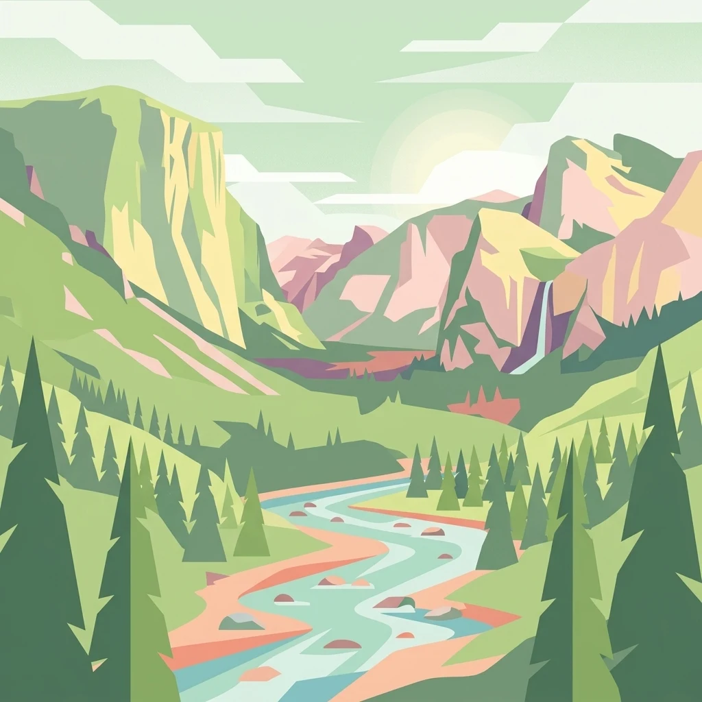
A flat, vector-style illustration of a mountainous landscape with a river flowing through a forested valley toward distant cliffs, featuring soft pastel colors.

A young alpine regional nature park in the heart of the Calanca valley in Graubünden.

Naturpark Calancatal

The Naturpark Calancatal is a regional nature park in the southern Swiss Alps, established in 2024 and centered on the long, narrow Calanca valley in the canton of Graubünden. It covers more than 13,900 hectares of mountain terrain that flows southward through the catchment of the Ticino river, with the wild Calancasca stream as its defining watercourse. The park is framed on three sides by high alpine ridges, including peaks above 3,000 meters, small glacier remnants, deep gorges, and high alpine pastures. It encompasses a mosaic of forested slopes, alpine meadows, wetlands, dry grasslands, and traditional mountain hamlets, and is managed under the Swiss federal label of "Park of national significance." As one of the youngest parks of the Swiss park network and the first nature park candidacy from the Italian-speaking south of Switzerland, it builds on earlier work for the abandoned Parc Adula project and reflects a strong local, community-driven effort across the small valley municipalities of Buseno, Calanca, Rossa, Santa Maria in Calanca, and a southern portion of Mesocco.

Location
Switzerland
Park type
Regional park
Established
2024
Area
139.2 km²
Highest point
3,202 m
Naturpark Calancatal Protected Area Map

Search Naturpark Calancatal records by distance

Review historical earthquakes near Naturpark Calancatal

Explore historical seismic records around Regionaler Naturpark Calancatal, a 139.21 km² terrestrial mountain park in Switzerland; Result pages pair event time, magnitude, depth, locality, and citation with geographic distance from the park. That spatial relationship supports research across its highland setting but is not evidence of an epicentre within the protected boundary or a forecast of future activity.

Sort by
Magnitude
Location

This page describes catalogued earthquakes associated with the park by epicentre location and distance. It does not establish causation, assess current danger, or predict future earthquakes.

No earthquake records match the current filters

Park atlas

Explore beyond Naturpark Calancatal earthquake data

Continue to more protected places from Naturpark Calancatal

Naturpark Calancatal rises from 505 to 3,202 metres across 139.21 km² of Swiss alpine mountains, valleys, cliffs, forest, wetlands, bog, rivers, and glacier terrain. Related park pages offer separate earthquake catalogues for comparison, but their epicentres and distances should not be interpreted as sharing Calancatal’s relief, likely effects, or risk.
Regional parkGraubünden
5.4 km away#1 closest

Naturpark Beverin: Exploring Alpine Gorges and Cultural Landscapes in Graubünden

A regional nature park shaped by high alpine ridges and ancient settlement traditions.

Naturpark Beverin encompasses a vast, multi-layered environment in the Swiss Alps. The area is defined by the sharp vertical contrast between carved river gorges like the Viamala and high-elevation ridges. Beyond the rugged mountain terrain, this protected landscape preserves centuries of pastoral history through the distinct settlement traditions of its Romanesque and Walser valleys.

Area
515 km²
Established
2013
Relief
Mountain
Climate
Alpine
A minimalist watercolor painting depicting a winding river through a flat alpine valley surrounded by gentle mountain ridges.
Nature reserveGraubünden
About 17 km away#2 closest

Aue Plaun la Greina Nature Reserve: Geography and Mapped Landscape Context

A protected high-alpine floodplain in the Swiss canton of Graubünden.

Aue Plaun la Greina sits within a high plateau between three major Adula mountain massifs, defined by its braided river channels, glacial moraines, and sensitive alpine mire habitats. The reserve protects a unique ecosystem that survives in a harsh, tundra-like climate at the heart of the European watershed, representing a major achievement in regional landscape preservation and geological study.

Area
0.39 km²
Established
1992
IUCN
IV
Relief
Mountain
A horizontal watercolor painting depicting a soft-focus mountain landscape with green rolling hills in the foreground and pale yellow mountain silhouettes in the distance.
Protected landscapeGraubünden
About 21 km away#3 closest

Greina, Piz Medel: Exploring the Geography of a Swiss Protected Landscape

High-alpine plateau, glacier forelands, and mountain peaks.

The Greina, Piz Medel protected area is defined by the contrast between its broad, level plateau and the surrounding ring of summits in the Adula Alps. This high-altitude region holds nationally important floodplains, diverse dry meadows, and active glacial basins that cross the European watershed, providing a profound study in alpine terrain and environmental conservation.

Area
150 km²
Established
1996
Relief
Mountain
Climate
Alpine
Watercolor painting of a calm lake surrounded by rolling hills and soft greenery.
Nature reserveLombardia
23 km away#4 closest

Lago di Piano Nature Reserve: Glacial Geography and Protected Wetland Landscapes

Protected marshland basin in the Lombardy pre-Alps

Lago di Piano sits as a rare lowland wetland oasis carved by ancient glacial activity in the Lombardy foothills. This reserve preserves a complex network of floating vegetation, reed beds, and drumlin-framed valleys, providing a vital study of pre-Alpine geography and protected-area conservation within northern Italy.

Area
0.72 km²
Relief
Lowland
Climate
Temperate
Access
Easy access
Watercolor painting of a meandering river flowing through a lush green valley with distant hills and foreground grasses.
Nature reserveCanton Ticino
About 32 km away#5 closest

Auenschutzgebiet Maggia: Protected Floodplain Geography and Alpine River Dynamics

Nature reserve located within the Canton Ticino, Switzerland

Investigate the natural topography of Auenschutzgebiet Maggia, a protected floodplain system spanning thirteen kilometers through the Lepontine Alps. This reserve provides a detailed look at how alpine hydrology maintains a diverse mosaic of gravel islands, wet meadows, and riparian forests in a high-energy mountainous environment.

Nature reserveLombardia
About 38 km away#6 closest

Val di Mello Nature Reserve: Mapping the Granitic Geography of the Italian Alps in Lombardia

A study of protected vertical relief, glacial cirques, and Alpine terrain.

Val di Mello offers a profound look at high-altitude Alpine geography, characterized by its immense, light-colored granitic walls and deeply carved tributary valleys. This protected nature reserve acts as a gateway to the broader mountainous terrain of the Lombardia region, showcasing the geological evolution of the Italian Alps through its steep gullies, high summits, and expansive valley floor.

Established
2009
Relief
Mountain
Access
Moderate access
Scope
Terrestrial
A soft watercolor painting depicting a wide river flowing through a green floodplain with distant mountains in the background.
Nature reserveGraubünden
About 42 km away#7 closest

Naturschutzgebiet Rhäzünser Rheinauen: Protected River Landscape and Floodplain Geography

Graubünden Alpine floodplain and alluvial river system

Located in the Swiss canton of Graubünden, Naturschutzgebiet Rhäzünser Rheinauen encompasses 157 hectares of rare, free-flowing river landscape. This protected area supports a diverse succession of plant communities, ranging from pioneer species on shifting gravel bars to mature softwood and hardwood floodplain forests, framed by the dramatic mountain terrain of the Hinterrhein valley.

Area
1.569 km²
Established
1992
IUCN
IV
Relief
Mountain
Watercolor illustration of a panoramic mountain landscape with soft green hills, rolling ridgelines in shades of pink and purple, and small patches of blue water in the foreground.
Regional parkCanton of Graubünden
About 44 km away#8 closest

Parc Ela: Regional Nature Park and Alpine Geography in the Canton of Graubünden

A vertical protected landscape in the Swiss Alpine arc.

Parc Ela encompasses a remarkable span of Swiss Alpine geography, protecting everything from low-lying forested gorges at seven hundred meters to high-altitude peaks over three thousand meters. The park serves as a vital refuge for threatened insect species and large alpine mammals, while preserving the linguistic and architectural heritage of the Albula and Oberhalbstein valleys. Explore the mapped terrain where paleontological treasures meet historic trade routes.

Area
659 km²
Established
2012
Relief
Mountain
Climate
Alpine
MoriAtlas Explorer

Explore the Geographic Boundaries and Mountain Terrain of Naturpark Calancatal

Use MoriAtlas to trace the protected landscape of Naturpark Calancatal, from its high alpine ridges and glacial remnants to the deep valleys of the Calancasca stream. Analyze the regional geography and protected sites that define this unique Swiss nature park.