
Natural springs
Park geography
Analyzing the protected highland terrain, river systems, and forest landscapes within Orhei District
Comprehensive Geographic Profile and Mapped Boundaries of Orhei National Park in Moldova
This geographic profile presents the structural dimensions and physical layout of Orhei National Park, covering a total area of 337.92 square kilometers across four Moldovan districts. The park encompasses a distinct highland landscape defined by temperate forests, intricate river networks like the Răut, and various natural features including caves, cliffs, and springs.
Moldova's first national park protecting central Codri forests and medieval heritage
Orhei National Park
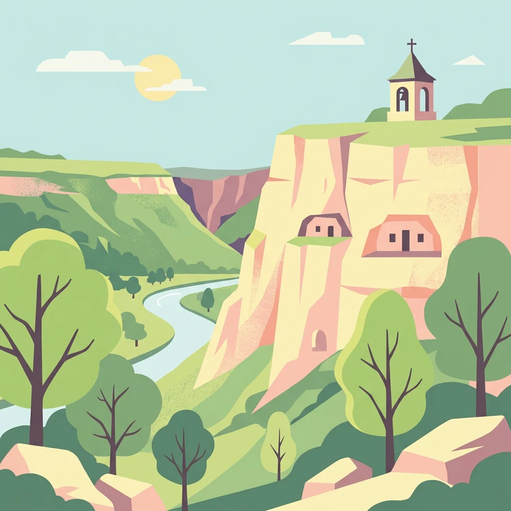
Orhei National Park is Moldova's premier protected area and the country's first national park, established in 2013. Located in the heart of Moldova's central region, approximately 46 kilometers north of Chișinău, the park encompasses the hilly, forested landscapes of the Codri area—a gently rolling terrain characterized by dense woodlands, steep valleys, and the meandering Răut River. The park spans 337.92 square kilometers, representing roughly one percent of Moldova's total territory, and stretches across four districts: Orhei, Strășeni, Călărași, and Criuleni. This protected area represents Moldova's commitment to conservation, as prior to its establishment the country had no national parks despite its rich biodiversity and cultural heritage.
- Location
- Moldova
- Park type
- National park
- Established
- 2013
- Area
- 337.9 km²
Location overview
Administrative boundaries across four districts of central Moldova
Geographic Setting and Regional Position of Orhei National Park
Orhei National Park is situated in Moldova, spanning Orhei, Criuleni, Strășeni, and Călărași districts. The inland reserve operates entirely within domestic boundaries as a non-transboundary protected landscape.
- Countries
- Moldova
- Regions
- Călărași District, Criuleni District, Orhei District, Strășeni District
- Primary location
- Orhei District
- Geographic setting
- Inland
Boundary and coordinates
Interactive boundary geometry spanning 337.92 square kilometers
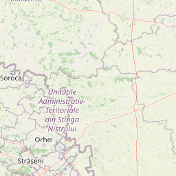
Orhei National Park Boundary Map and Spatial Extent
Mapped park geometry establishes clear spatial context across the protected landscape. Accompanying boundary facts detail derived area measurements, coordinate limits, and geographic spans.
- Boundary area
- 338.5 km²
- Boundary perimeter
- 205.3 km
- Northernmost point
- 47.3911° N
- Southernmost point
- 47.2146° N
- Easternmost point
- 29.0229° E
- Westernmost point
- 28.4599° E
- Geographic centre
- 47.3101° N, 28.7505° E
- North–south span
- 19.6 km
- East–west span
- 42.6 km
Terrain and natural features
Stored highland classifications and recorded geographic features
Orhei National Park Terrain and Named Natural Features Index
Highland terrain classifications define the regional landscape profile across Orhei National Park. Linked feature cards provide recorded names, types, measurements, and spatial relationships.
Selected named natural features
Cave entrances
Pink Cave
10 m
Natural springs
Izvorul Taberei
Streams
Motca
Natural springs
Izvor amenajat
Rivers
Răut
Environmental setting
Temperate broadleaf forest and highland terrain characteristics
Orhei National Park Environmental Classification and Physical Setting
Recorded landscape features, temperate climate zones, and forest cover classifications provide interpretive categories for the physical setting. Linked records connect each attribute to related protected area destinations across the regional atlas.
- Relief
- Highland
- Climate
- Temperate
- Water
- Minor water
- Forest cover
- Mostly forested
- Seasonality
- Year-round
Landscape features
Hills · Valleys · Forest
Habitat types
Temperate broadleaf forest
Park atlas
Explore the regional context of protected landscapes and national parks near Orhei National Park.
Explore National Parks and Protected Areas Beyond Orhei National Park, Discovering Adjacent Landscapes
Continue your geographic exploration by browsing other national parks and protected areas situated within the broader region surrounding Orhei National Park. This enables detailed comparison of diverse conservation landscapes, tracing the spread of forested hills, river valleys, and cultural heritage sites across central Moldova.
Protected landscapeGalați County
About 134 km away#1 closest
South

Lunca Joasă a Prutului Inferior Natural Park: Protected Landscape Atlas and Geographic Context
Explore its wetland terrain and mapped protected area boundaries.
Lunca Joasă a Prutului Inferior Natural Park is a crucial protected landscape within Galați County, Romania, recognized for its extensive wetland ecosystems and role as a vital bird migration hub. This atlas-focused entry details the park's mapped geography, showcasing its complex network of lakes, canals, and floodplains, and its significant habitats that support exceptional biodiversity along major European flyways.
- Area
- 82.47 km²
- Established
- 2005
- IUCN
- V
- Relief
- Lowland
National parkOdesa Oblast
About 134 km away#2 closest
Southeast

Lower Dniester National Nature Park: National Park Map and Protected Landscape Atlas
Explore Odesa Oblast's protected natural geography and park boundaries.
The Lower Dniester National Nature Park is a vital component of Ukraine's protected lands, situated within the expansive Odesa Oblast. This page offers detailed geographic context, focusing on the park's mapped boundaries and its contribution to the regional landscape. Dive into an atlas-style exploration that highlights the park's protected terrain and its significance within the natural geography of southwestern Ukraine, offering structured discovery beyond basic park facts.
- Area
- 213 km²
- Established
- 2008
- IUCN
- II
- Relief
- Lowland
National parkMykolaiv Oblast
About 163 km away#3 closest
Northeast
Bug Gard National Nature Park: Mapped Protected Landscape in Mykolaiv Oblast
Explore National Park Geography and Boundaries
Delve into Bug Gard National Nature Park, a designated national park situated in Mykolaiv Oblast, Ukraine. This detailed view highlights the park's protected landscape, offering insights into its geographic distribution and mapped boundaries. Understand its place within the regional terrain and access structured information for atlas-based exploration of this significant natural area.
- Area
- 61.38 km²
- Established
- 2009
- IUCN
- II
- Relief
- Mixed relief
Protected landscapeNeamț County
About 172 km away#4 closest
West
Vânători-Neamț Natural Park: Protected Landscape within Neamț County, Romania
Mapped protected area and regional landscape context.
Vânători-Neamț Natural Park is a designated protected landscape located in Romania's Neamț County. This MoriAtlas entry provides detailed geographic information, focusing on the park's mapped boundaries and its role within the regional atlas of protected natural areas. Understand the park's specific landscape context and its place within the wider geography of Western Moldavia, essential for any structured exploration of Romanian protected lands.
- Area
- 306.31 km²
- Established
- 2003
- IUCN
- V
- Scope
- Terrestrial
National parkBilhorod-Dnistrovskyi Raion
About 184 km away#5 closest
Southeast
Tuzly Lagoons National Nature Park: National Park Atlas and Geographic Context
Mapped protected landscape within Bilhorod-Dnistrovskyi Raion, Ukraine.
Navigate the protected landscape of Tuzly Lagoons National Nature Park through a detailed geographic lens. This national park entry within MoriAtlas provides structured information on its mapped boundaries and regional context within Bilhorod-Dnistrovskyi Raion, part of Ukraine's Bessarabia region. Understand its position and significance as a protected natural area, facilitating a deeper exploration of its geographical attributes and its place in the broader atlas of Ukrainian protected lands.
- Area
- 278.65 km²
- Established
- 2010
- IUCN
- II
- Relief
- Lowland
National parkKhmelnytskyi Oblast
About 192 km away#6 closest
Northwest
Podilski Tovtry National Nature Park: Mapped Limestone Ridges and Regional Geography
Explore this protected national park in Khmelnytskyi Oblast.
Podilski Tovtry National Nature Park is a vast protected area in western Ukraine, recognized for its distinctive Tovtry limestone ridge and intricate river canyon systems. This national park offers a rich geographic context for understanding the natural landscape of Khmelnytskyi Oblast, featuring unique geological formations and diverse habitats. Its protected status highlights the importance of its conservation value and its role within regional natural resource management, making it a key destination for atlas-based geographic discovery.
- Area
- 2,613.16 km²
- Established
- 1996
- IUCN
- II
- Relief
- Highland
National parkRomania
206 km away#7 closest
West
Cheile Bicazului-Hășmaș National Park: Protected Area Geography and Mapped Landscape Identity
Discover Romania's National Park mapped boundaries and regional context.
Cheile Bicazului-Hășmaș National Park represents a vital component of Romania's protected natural areas, offering rich geographic detail for atlas enthusiasts. This national park's mapped landscape and defined protected boundaries provide essential context for understanding regional geography and conservation efforts. Explore the specific identity of this protected terrain and its significance within the broader Romanian atlas.
- Area
- 65.75 km²
- IUCN
- II
- Relief
- Mountain
- Scope
- Mixed
National parkMykolaiv Oblast
About 212 km away#8 closest
East
Ivory Coast of Sviatoslav National Nature Park: National Park Identity and Regional Geography
Mapped protected area in Mykolaiv Oblast, Ukraine.
Gain a structured understanding of Ivory Coast of Sviatoslav National Nature Park, a designated national park in the Mykolaiv Oblast region of Ukraine. This entry focuses on its protected landscape identity and its position within the broader regional geography. Explore the mapped outlines and discover its significance as a key protected territory for atlas-based research and geographic context.
- Area
- 352 km²
- Established
- 2009
- IUCN
- II
- Relief
- Lowland
MoriAtlas Explorer
Continue Exploring the Geography of Orhei National Park's Protected Landscape
Delve deeper into the structured geographic context and mapped boundaries of Orhei National Park. Understand its place within Orhei District and how its protected landscape contributes to Moldova's broader natural and cultural atlas. MoriAtlas provides detailed insights into the park's terrain and regional setting, enabling a comprehensive discovery of this significant conservation area.
Browse next
Global natural geography
Explore related park routes
Explore MoriAtlas Global ParksBrowse All MoriAtlas ParksGlobal Park Map DiscoveryMoriAtlas: Browse All CountriesBrowse All MoriAtlas ContinentsNational Park Environment AtlasGrand Canyon National Park AtlasYellowstone National Park AtlasYosemite National Park Atlas and GeographySerengeti National Park AtlasGalápagos National Park Protected LandscapeBanff National Park Geography and AtlasKruger National Park Atlas EntryUluṟu-Kata Tjuṯa National Park AtlasExplore Uluru-Kata Tjuta National Park GeographyPlitvice Lakes National Park AtlasFiordland National Park Protected LandscapeGreat Smoky Mountains National Park AtlasAfghanistan National Parks and Protected AreasAlbania National Parks and Protected AreasAlgeria National Parks and Protected AreasAmerican Samoa National Parks and Protected AreasAndorra National Parks and Protected AreasAngola National Parks and Protected AreasAntarctica National Parks and Protected AreasAntigua and Barbuda Park List