
Mori Atlas logo
Nature reserveReserve naturelle nationale de la baie de Somme

Mapping the tidal mudflats, salt marshes, and coastal dunes of the Somme estuary

Reserve naturelle nationale de la baie de Somme: Protected Estuarine Landscapes and Geography

(Réserve naturelle nationale de la baie de Somme)

The Reserve naturelle nationale de la baie de Somme protects a vast estuarine ecosystem where the Somme river meets the English Channel. This map-oriented overview highlights the intricate mosaic of tidal mudflats, schorre salt marshes, and stabilized dune systems that define this northern French landscape. As a key site for migratory waterbirds and harbor seal colonies, the reserve serves as a critical example of dynamic coastal geography and protected biodiversity.

estuarine reservetidal mudflatssalt marshesmigratory birdswaterbird sanctuaryharbor seal colony
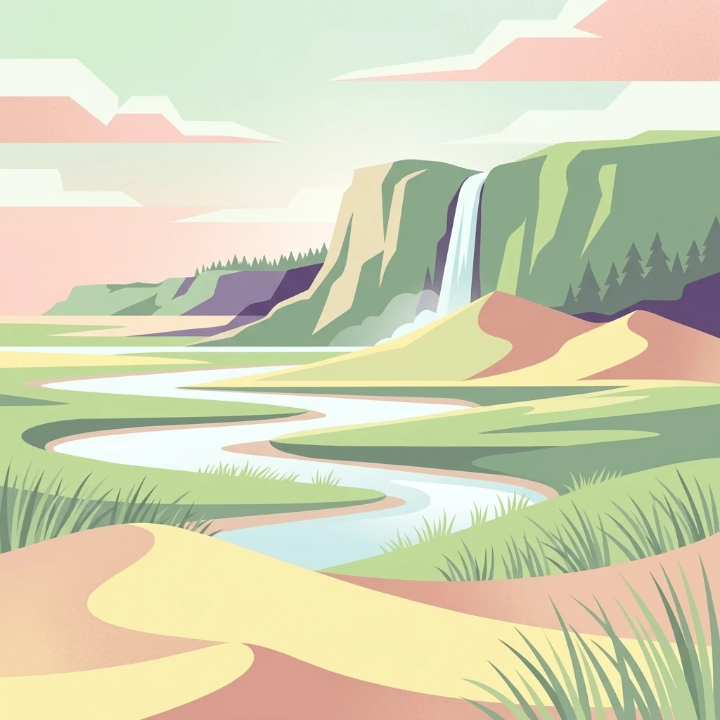
A digital illustration of a winding river flowing through a coastal landscape with sand dunes in the foreground and tall green cliffs with a waterfall in the distance.

Reserve naturelle nationale de la baie de Somme

Nature reserve

Park overview

Structured park overview, official facts, and landscape profile for Baie de Somme National Nature Reserve

Baie de Somme National Nature Reserve park facts, protected area profile, and essential visitor context

Review the core facts for Baie de Somme National Nature Reserve, including designation, size, terrain, visitor scale, habitats, and operating context in one park-focused overview.

About Baie de Somme National Nature Reserve

The Baie de Somme National Nature Reserve is a coastal and estuarine protected area that captures the ecological richness of one of northern France's most important river-mouth landscapes. The Somme estuary opens onto the English Channel along the Picardy coast and forms a broad, shallow embayment where tidal channels weave through extensive mudflats and salt marshes. The reserve occupies a strategically central portion of this estuary, between the Pointe du Hourdel to the south and the mouth of the Maye river to the north, anchoring protection to the most ecologically valuable habitats of the system.

The reserve's terrain is shaped by the daily rhythms of the tide. Vast intertidal mudflats emerge at low water, providing rich feeding grounds for waders and wildfowl, while salt marshes fringe the higher elevations and host specialized halophytic vegetation adapted to brackish, periodically flooded conditions. The terrestrial section of the reserve is also notable: it includes the Marquenterre park, a mosaic of dunes, wet meadows, woodland patches, and freshwater wetlands that complement the marine habitats and provide nesting and resting space for many bird species.

Ecologically, the site functions as a critical node on the East Atlantic Flyway. It is recognized internationally for its importance to at least ten species of conservation concern, and more than 120 bird species breed within or near the reserve. In addition to its ornithological value, the estuary hosts a thriving colony of harbor seals, which use sandbanks and channels as haul-out and breeding sites, making the Baie de Somme one of the foremost seal sites in mainland France.

The reserve is embedded in a layered framework of coastal conservation. It is part of the Natura 2000 network, contributes to a Ramsar wetland designation covering roughly 17,000 hectares, and falls within the larger Picard Estuaries and Opale Sea Marine Natural Park. Together, these designations reflect not only the ecological significance of the site but also the long-standing French and European commitment to integrated coastal management in estuarine environments where natural dynamics and human activity intersect.

Quick facts and research context for Baie de Somme National Nature Reserve

The Baie de Somme National Nature Reserve is a national nature reserve in the Somme department of northern France, within the Hauts-de-France region. Classified by decree in 1994, it spans roughly 3,400 hectares across both marine and terrestrial zones, with the marine portion dominated by intertidal mudflats and the terrestrial portion corresponding to the Marquenterre park. It carries the designation RNN 118 and falls under IUCN Category IV (habitat or species management area).

The reserve is co-managed by the Syndicat Mixte Baie de Somme - Grand Littoral Picard with support from the Conservatoire du Littoral, and overlaps with a Ramsar wetland site designated in 1998 covering about 17,000 hectares. It is part of the Natura 2000 network and has been integrated into the Picard Estuaries and Opale Sea Marine Natural Park since 2012.

Protection and recognition

Review documented protection scope and international designation records for this protected area.

Reserve naturelle nationale de la baie de Somme Protection Status and Recognition Data

Examine the recorded protection status, management scope, and regulatory details associated with Reserve naturelle nationale de la baie de Somme. Official database records provide verified baseline attributes for tracking conservation frameworks.

Protection details

Protection scope
Mixed
Transboundary protection
No
WDPA ID
106722
Park context

Deeper park guide and search-rich context for Baie de Somme National Nature Reserve

Baie de Somme National Nature Reserve history, landscape, wildlife, and travel context

Explore Baie de Somme National Nature Reserve through its history, landscape character, ecosystems, wildlife, conservation priorities, cultural context, and seasonal travel timing in a structured park guide built for atlas discovery and search intent.

Why Baie de Somme National Nature Reserve stands out

The reserve is best known for its extraordinary importance to migratory and breeding waterbirds along the Atlantic flyway, including the great egret, little egret, spoonbill, and red-crested pochard, as well as for hosting one of France's most significant colonies of harbor seals. The tidal mudflats and salt marshes of the Somme estuary provide feeding, resting, and nesting habitat for more than 300 bird species, representing a substantial share of European avifauna. Its combination of soft sediment intertidal flats (vasières), schorre salt marshes (prés salés), and stabilized dune systems gives the site both a distinctive landscape character and a high ecological productivity that supports immense concentrations of shorebirds, ducks, and waders, particularly during migration and winter.
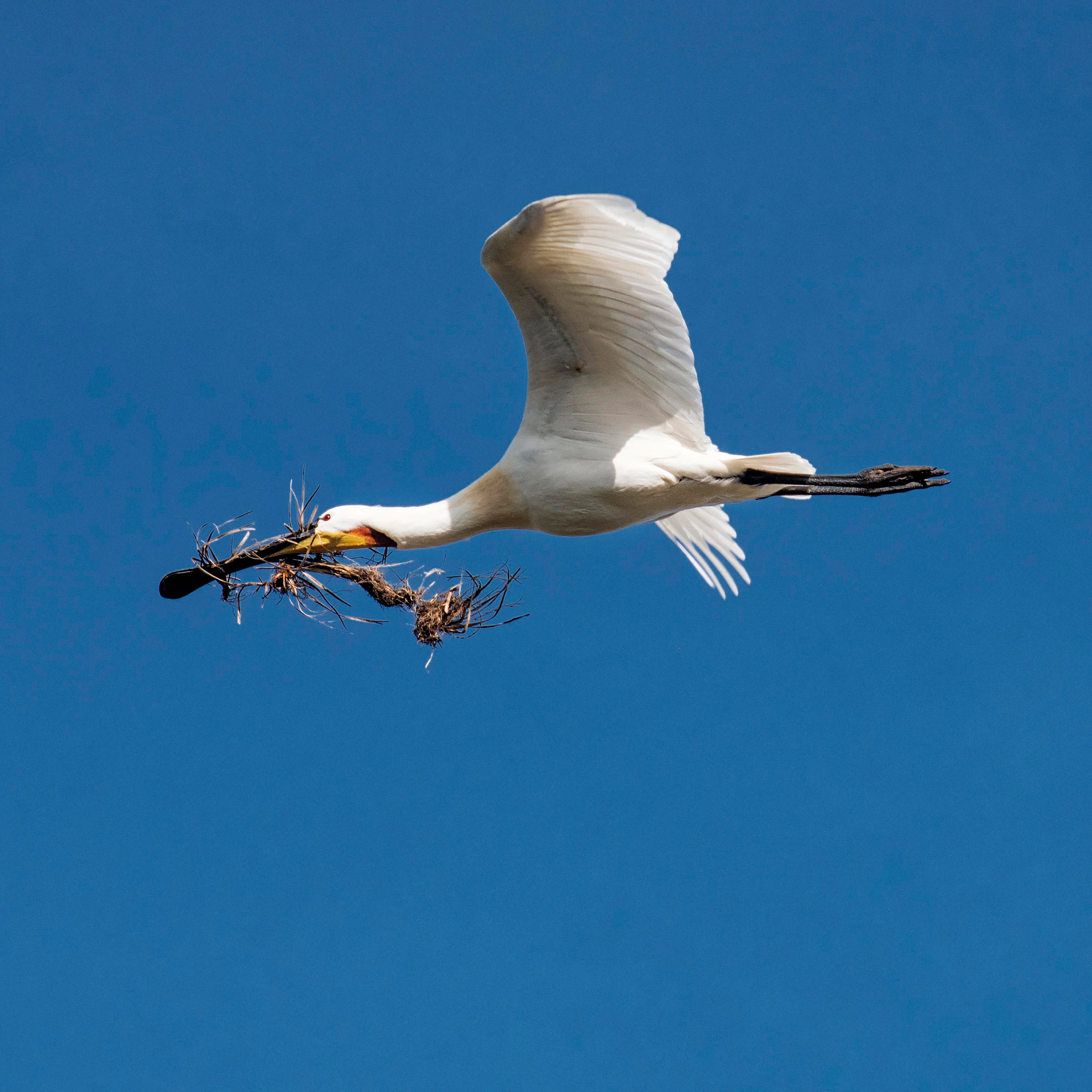
A white Eurasian spoonbill flying horizontally against a solid blue sky, carrying a bundle of twigs and branches in its long black bill.
Adult Eurasian spoonbill carrying nesting material in flight against a clear blue sky.

Baie de Somme National Nature Reserve history and protected-area timeline

The protected status of the Baie de Somme site has deep roots. In 1968, the French state created a national hunting reserve (réserve nationale de chasse) over the bay, recognizing early on the importance of safeguarding its waterbird populations. This earlier designation laid the groundwork for the stronger protection that would follow decades later.

The project to establish a true national nature reserve was developed by Jérôme Laurent, the regional delegate for architecture and the environment in Picardy, Didier Pamelle of the DRAE Picardie, and ornithologist François Sueur. Their preparatory studies, including Sueur's 1987 preliminary study for the reserve project, helped establish the scientific and ecological case for full protection.

The reserve was officially created by decree on 21 March 1994, becoming France's 118th national nature reserve ('RNN 118'). Since then it has progressively been integrated into wider networks of coastal and marine protection, becoming part of the Natura 2000 network, the Ramsar Convention (1998), and finally the Picard Estuaries and Opale Sea Marine Natural Park in 2012, reflecting the evolution of coastal conservation in France from a strictly site-based approach toward broader landscape and seascape strategies.

Baie de Somme National Nature Reserve landscape and geographic character

The landscape of the Baie de Somme National Nature Reserve is defined by the interplay of river, tide, and wind. At its heart lies a wide estuarine mouth where the Somme river meets the English Channel. The marine portion of the reserve is dominated by gently sloping tidal flats that extend far offshore at low tide, cut by meandering tidal channels that reshape the surface with each tidal cycle.

Around these flats rise salt marshes, locally known as prés salés or schorre, which form a distinct vegetated fringe between the intertidal zone and higher ground. Their surface is patterned with channels, saline pans, and halophytic plant communities. Inland, the terrestrial portion of the reserve corresponds to the Marquenterre landscape: a mosaic of stabilized dunes, dune slacks, wet meadows, reedbeds, woodlands, and freshwater ponds that together create a transitional zone between marine and inland environments.

The setting is open, expansive, and luminous, with broad skies over flat to gently undulating terrain. There are no dramatic cliffs or peaks; instead, the visual strength of the place lies in its horizontality, in the slow rhythm of tides, and in the contrast between wet, glistening flats at low tide and the textured green and ochre of the marshes and dunes above the high-water line.
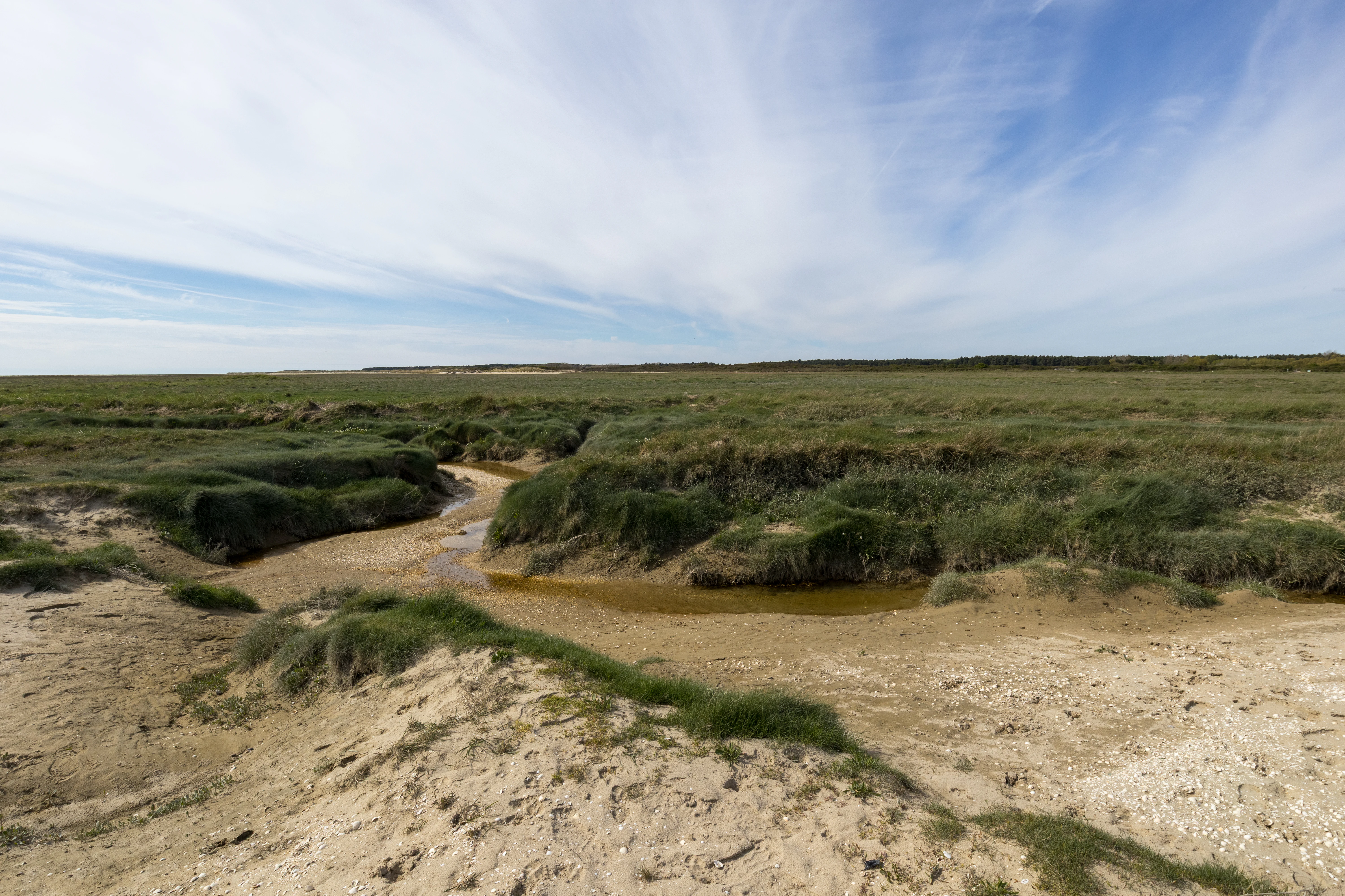
A wide view of coastal mudflats with a small winding tidal channel cutting through green salt marsh vegetation under a blue sky with wispy clouds
Tidal creek winding through the mollières mudflats and salt marsh near Le Crotoy in the Baie de Somme

Baie de Somme National Nature Reserve ecosystems, habitats, and plant life

The reserve's ecological identity is shaped by estuarine and coastal dynamics. The constant exchange between fresh water from the Somme and its tributaries and the salt water of the English Channel creates a fluctuating, nutrient-rich environment that supports exceptional biological productivity. This primary productivity underpins the entire food web of the estuary.

The habitat mosaic includes intertidal mudflats (vasières) rich in invertebrates; salt marshes dominated by halophytic plants such as Salicornia, sea lavender (Limonium vulgare), Halimione, beach grass (Leymus arenarius), and creeping willow (Salix repens); dune systems with their specialized flora; and inland wetlands including reedbeds, ponds, and wet meadows within the Marquenterre area. This diversity of habitats within a relatively compact area allows many species to fulfill different stages of their life cycles, from feeding to nesting to wintering.

The dynamic nature of the estuarine environment also means that habitats are not static. Sediment transport, channel migration, erosion, and accretion continually reshape the intertidal zone, requiring management approaches that accommodate natural change rather than simply fix the landscape in place.
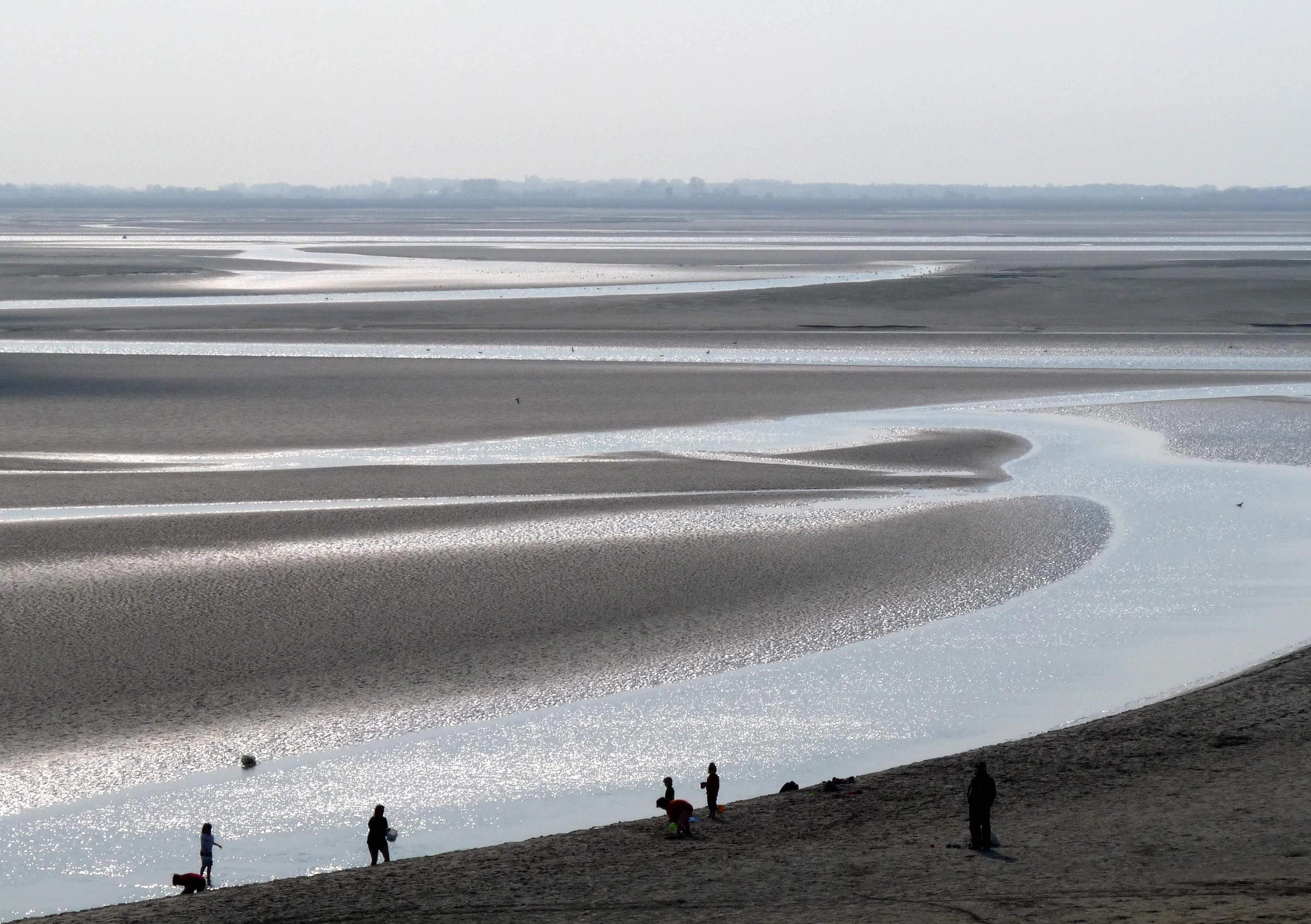
Wide landscape view of tidal mudflats and shallow winding water channels in the Baie de la Somme, with several people and dogs walking along a sandy slope in the foreground.
Wide view of the tidal mudflats and sandbanks of the Baie de la Somme at low tide, with people walking along the shore.

Baie de Somme National Nature Reserve wildlife and species highlights

Wildlife is the defining feature of the reserve. More than 300 bird species have been recorded at the Baie de Somme, representing roughly two-thirds of European species, and the site is internationally recognized for the role it plays in the life cycle of ten species of conservation concern. The estuary functions simultaneously as a migration stopover, a wintering site, and a breeding area, a rare combination that elevates its ecological importance.

Breeding species of note include the great egret, little egret, red-crested pochard, and the Eurasian spoonbill, whose expanding colony in the Marquenterre area is one of the highlights of the site. During migration, the bay hosts large numbers of greylag geese and red knots, while in winter the mudflats attract black-tailed godwits, northern shovelers, and common shelducks, often in internationally significant concentrations.

Beyond birds, the reserve supports a notable herpetofauna, including the natterjack toad and European tree frog, both considered rare or threatened in France. The Baie de Somme is also the most important site in France for the harbor seal, with a breeding colony that uses the estuary's shifting sandbanks as haul-out and pupping habitat, adding a strong marine mammal dimension to the wildlife profile of the reserve.

Baie de Somme National Nature Reserve conservation status and protection priorities

The Baie de Somme National Nature Reserve sits at the intersection of several layers of protection, both national and international. As a national nature reserve, it benefits from strict regulation of activities to protect habitats and species, and its designation as RNN 118 reflects a long-term French commitment to safeguarding this estuary.

Its integration into the Natura 2000 network aligns the reserve with European directives on the protection of birds and habitats, and the broader Ramsar designation, covering roughly 17,000 hectares around the bay, emphasizes exemplary wetland management as a core conservation goal. Since 2012, the reserve has also been part of the Picard Estuaries and Opale Sea Marine Natural Park, embedding site-level protection within a larger marine spatial planning framework.

The Conservatoire du Littoral plays a key partnership role, working to acquire and manage coastal lands in ways that maintain or restore natural dynamics. Conservation management here is not about freezing the landscape; rather, it is about preserving the dynamic estuarine processes that create the mudflats, marshes, and dune systems on which the reserve's exceptional biodiversity depends, while regulating human activities such as hunting, fishing, and tourism to limit disturbance to sensitive species.

Baie de Somme National Nature Reserve cultural meaning and human context

The Baie de Somme is more than a natural area: it is also a place with a strong cultural identity rooted in the long-standing relationship between coastal communities and the estuary. Towns such as Le Crotoy, Saint-Valery-sur-Somme, and Rue have historically been connected to the sea through fishing, salt production, maritime trade, and later tourism.

The reserve's territory lies within the commune of Saint-Quentin-en-Tourmont, and its inclusion of the Marquenterre park reflects a deliberate effort to integrate nature protection with public education and regional identity. Annual events such as the Festival of the Bird and Nature in April connect the reserve to a wider Picardy tradition of celebrating the estuary's wildlife, and the long-term involvement of regional figures in the reserve's creation and governance underscores the importance of the bay as both a natural and cultural heritage site.

Top sights and standout views in Baie de Somme National Nature Reserve

Three qualities stand out. First, the reserve is one of northern France's most important estuarine bird sites, sustaining more than 300 recorded species and ten species of international conservation concern across migration, wintering, and breeding seasons. Second, it is the foremost French site for the harbor seal, with a breeding colony that depends on the estuary's sandbanks. Third, it represents a model of layered coastal protection, combining national nature reserve status with Natura 2000, Ramsar, and Marine Natural Park designations, all anchored around the dynamic tidal landscape of the Somme estuary.

Best time to visit Baie de Somme National Nature Reserve

Different seasons offer different experiences of the reserve. Spring and early summer are often associated with breeding activity and the regional bird and nature festival in April, when the marshes and dunes are especially lively with nesting species and displaying birds. Autumn brings the visible pulse of migration, with large numbers of shorebirds, geese, and ducks moving through the estuary. Winter, when the weather is colder and the days shorter, is often the best period for observing large concentrations of wintering waterfowl and for seal watching, when harbor seals gather on sandbanks in clearer, less crowded conditions. The experience of the reserve is also shaped by the tides: low tide exposes vast mudflats that concentrate feeding birds, while high tide pushes birds and seals closer to observation points in the marshes and dunes.
Monthly climate preview

Long term temperature and precipitation normals recorded across representative coordinates

Climate Normals and Annual Weather Patterns in Reserve naturelle nationale de la baie de Somme

Historical data records monthly temperature and precipitation rhythms across the protected landscape from 1991 to 2020. Examining the complete twelve month profile provides deeper insight into measured baseline climatology.
Annual mean11 °C
5 °C17 °C
Jan
Feb
Mar
Apr
May12°
Jun15°
Jul17°
Aug17°
Sep15°
Oct12°
Nov
Dec
Warmest month
August

17.4 °C

Coolest month
January

4.8 °C

Wettest month
December

3.1 mm/day

Driest month
April

1.7 mm/day

Park location guide

Geography guide, regional context, and park location map for Baie de Somme National Nature Reserve

Baie de Somme National Nature Reserve park geography, regions, and map view in France

Understand where Baie de Somme National Nature Reserve sits in France through a broader geographic reading of the surrounding landscape, nearby location context, and its mapped position within the national park landscape.

How Baie de Somme National Nature Reserve fits into France

France is a unitary semi-presidential republic and one of the world's largest economies. It borders Belgium, Luxembourg, Germany, Switzerland, Italy, Monaco, Andorra, and Spain, with a maritime border to the United Kingdom. The country is known for its cultural influence, art, cuisine, and political history spanning centuries.

Wider geography shaping Baie de Somme National Nature Reserve in France

France is located in Western Europe. Metropolitan France extends from the Rhine to the Atlantic Ocean and from the Mediterranean Sea to the English Channel and North Sea. The country borders Belgium, Luxembourg, Germany, Switzerland, Italy, Monaco, Andorra, Spain, and has a maritime border with the United Kingdom.

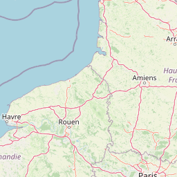
Map view of Baie de Somme National Nature Reserve

Use this park location map to pinpoint Baie de Somme National Nature Reserve in France, understand its exact geographic position, and read its mapped placement within the surrounding landscape more clearly.

Pigeon | © OpenStreetMap contributors

Location context for Baie de Somme National Nature Reserve

Hauts-de-FranceSomme

Visual reference for tidal flats, salt marshes, and protected coastal habitats

Reserve naturelle nationale de la baie de Somme Photos and Estuarine Landscapes

Visual documentation reveals the expansive terrain, dynamic tidal channels, and diverse avian habitats of Reserve naturelle nationale de la baie de Somme. Examining these protected coastal environments clarifies the ecological character and open estuarine scenery defining the Picardy shoreline.

A white Eurasian spoonbill flying horizontally against a solid blue sky, carrying a bundle of twigs and branches in its long black bill.

A harbor seal lying on a sandy beach with blue ocean waves in the background.

A wide view of coastal mudflats with a small winding tidal channel cutting through green salt marsh vegetation under a blue sky with wispy clouds

Wide landscape view of tidal mudflats and shallow winding water channels in the Baie de la Somme, with several people and dogs walking along a sandy slope in the foreground.

Park atlas

Compare adjacent coastal ecosystems, estuarine wetlands, and regional protected natural areas.

Parks Near Reserve naturelle nationale de la baie de Somme and Regional Protected Landscapes

Browsing other parks near Reserve naturelle nationale de la baie de Somme reveals connected coastal ecosystems and regional wildlife habitats across the northern shoreline. Expanding the geographic comparison highlights broader protected landscapes and similar estuarine environments within the surrounding territory.
A soft watercolor illustration showing a landscape with sparse trees, a sunlit clearing, and rolling hills in the background, set against a plain white background.
Nature reserveHauts-de-France
About 11 km away#1 closest

Northeast

Réserve naturelle régionale du bois des Agneux: Protected Nature Reserve Landscape

Wetland habitat and acidiphile woodland in Hauts-de-France

Examine the geography of Réserve naturelle régionale du bois des Agneux, a nature reserve in the Somme department of Hauts-de-France. This protected area stands out for its mosaic of acidiphile oak woodland, seasonal pools, and sandy micro-relief, serving as a critical refuge for specialized flora and fauna on the Picardy coast.

Area
0.256 km²
Established
2015
IUCN
IV
Relief
Lowland
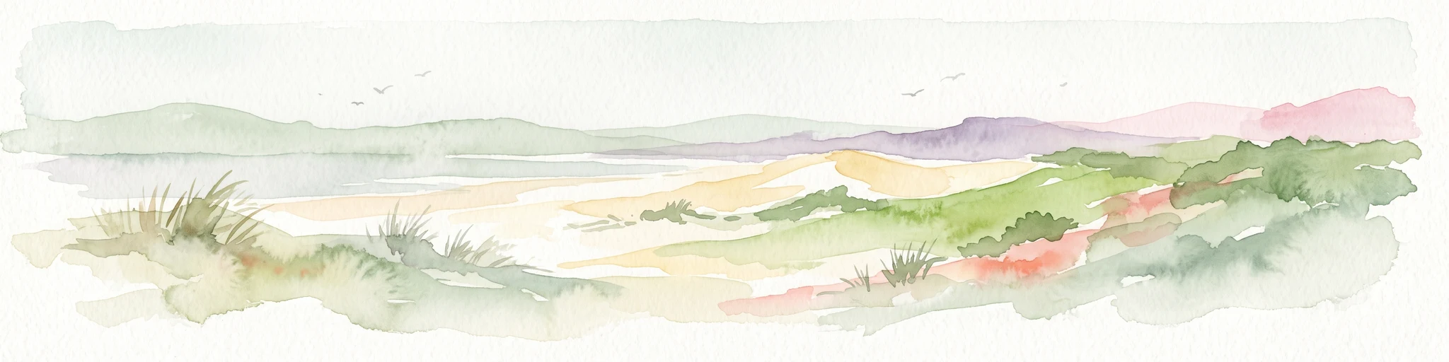
Watercolor painting of a coastal landscape with sand dunes, beach grasses, and distant hills under a light sky.
Nature reservePas-de-Calais
About 32 km away#2 closest

North

Réserve naturelle nationale de la baie de Canche Protected Area Map and Geography

Coastal dune ecosystems and tidal estuary landscapes in Pas-de-Calais

This protected area offers a look into the geomorphology of the Canche estuary, where longshore drift, salt marshes, and rare chalk-cliff dune systems create a distinct environment. Understand the landscape context of this French national nature reserve, serving as a sanctuary for migratory bird populations and a site for active coastal research along the English Channel.

Area
5.05 km²
Established
1987
IUCN
IV
Relief
Lowland
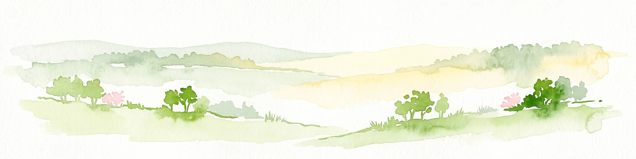
A soft watercolor illustration of rolling hills with gentle green and yellow tones, dotted with clusters of green trees and hints of pink flowers on a white background.
Nature reservePas-de-Calais
About 41 km away#3 closest

East

Réserve naturelle régionale de la Pâture Mille Trous: Protected Chalk Grassland Geography

Authie valley landscape and calcareous plateau habitat

Located in the Pas-de-Calais department of northern France, this regional nature reserve preserves a rare chalk plateau and slope ecosystem. The area is marked by a distinctive field of historic lime-kiln depressions, creating a varied micro-topography. This protected landscape hosts an exceptionally diverse plant community, including numerous orchid species, within a compact mosaic of grassland and woodland edges overlooking the Authie valley.

Area
0.064 km²
Established
2007
IUCN
IV
Relief
Upland
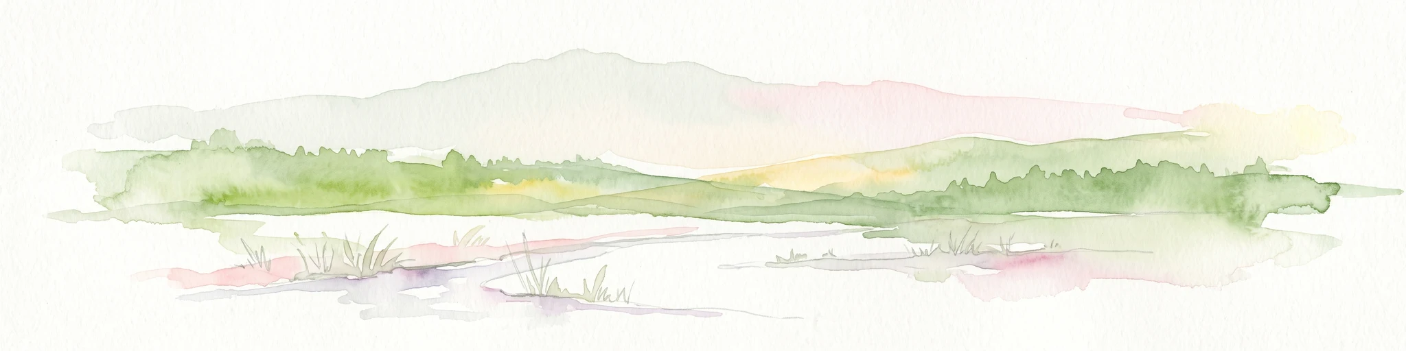
A soft watercolor illustration showing a low-lying landscape with gentle rolling hills, grassy foreground vegetation, and light, hazy atmospheric tones.
Nature reserveHauts-de-France
About 44 km away#4 closest

North

Réserve naturelle régionale du marais de Condette: Wetland Geography and Protected Landscape

A vital ecological corridor within the Hauts-de-France region

Spanning 35 hectares, the Réserve naturelle régionale du marais de Condette protects a unique mosaic of marshland, peat-forming habitats, and forested massifs. This wetland reserve near the Opal Coast acts as an essential green infrastructure link, providing critical sanctuary for flora and fauna while maintaining hydrological balance in a heavily transformed northern French landscape.

Area
0.35 km²
Established
2009
IUCN
IV
Relief
Lowland
Nature reservePas-de-Calais
About 44 km away#5 closest

Northeast

Réserve naturelle régionale du marais de la Grenouillère: Wetland Geography and Map

Protected alluvial floodplain in the Pas-de-Calais region

This regional nature reserve encompasses sixteen hectares of high-density wetland habitats along the Ternoise river. Its flat topography sustains a delicate mosaic of alkaline marshes, wet meadows, and riparian alder woodlands that serve as a critical ecological buffer within the broader landscape of northern France.

Area
0.166 km²
Established
2000
IUCN
IV
Relief
Lowland
Nature reserveHauts-de-France
About 46 km away#6 closest

East

Réserve naturelle régionale des Riez de Nœux-lès-Auxi Protected Landscape and Map Data

Geography of thermophilic limestone slopes in northern France

This site provides a detailed look at the Réserve naturelle régionale des Riez de Nœux-lès-Auxi, focusing on its role as the most thermophilic limestone slope in the former Nord-Pas-de-Calais region. Access structured data on the reserve's unique calcareous grassland mosaic, juniper stands, and the ravine forest habitat that characterizes this protected northern territory.

Area
0.083 km²
Established
1999
IUCN
IV
Relief
Upland
A watercolor painting of a rolling rural landscape with bare trees, grassy hills, and distant purple and red hills against a pale sky.
Nature reserveHauts-de-France
About 47 km away#7 closest

North

Réserve naturelle régionale du Molinet: Protected Calcareous Woodlands and Grassland Mosaic

Geographic and Habitat Analysis of a Pas-de-Calais Nature Reserve

Located in the Boulonnais landscape of northern France, this protected area serves as a vital refuge for calcareous flora. The reserve preserves a rare mosaic of limestone woodlands and grasslands, serving a dual role in both ecological conservation and water catchment protection within the Hauts-de-France administrative region.

Area
0.067 km²
Established
1987
IUCN
IV
Relief
Lowland
Nature reserveHauts-de-France
About 63 km away#8 closest

North

Réserve naturelle régionale du pré communal d'Ambleteuse: Regional Nature Reserve Geography

Coastal dune relics and protected marshland in Hauts-de-France.

This protected area provides an essential look at the coastal geography of the Opal Coast. Featuring a complex mosaic of ancient dune turf, dry heath, and wet meadows, the reserve stands as a landmark for biodiversity and traditional land management in northern France.

Area
0.605 km²
Established
1991
IUCN
IV
Relief
Lowland

Common questions about visiting, size, designation, and location context for Baie de Somme National Nature Reserve

Baie de Somme National Nature Reserve FAQs for park facts, access, geography, and protected area context

Find quick answers about Baie de Somme National Nature Reserve, including protected-area facts, park geography, trail and visitor context, and how the park fits into its surrounding country and regional landscape.
MoriAtlas Explorer

Continue Your Protected Areas Search Across the Global Atlas

Deepen your exploration by continuing the structured search for national parks and protected areas worldwide. Utilize the comprehensive filtering capabilities to compare different conservation landscapes and refine your understanding of global park geography. Discover more about the distribution and characteristics of protected natural areas.

Global natural geography