Mori Atlas logo
Park earthquake history

Review documented earthquake data, including magnitudes and epicentre distances for this regional reserve.

Historical Catalogue of Recorded Seismic Events for Réserve naturelle régionale de Pont d'Ardres

This historical collection provides access to seismic events recorded within the vicinity of the Réserve naturelle régionale de Pont d'Ardres. Each entry documents the technical parameters of the recorded activity, including magnitude and distance from the protected wetland sites. The dataset serves as a factual resource for understanding the seismic history of the surrounding Pas-de-Calais landscape through retrieved geological records.

Related tags

regional nature reservewetlandsartificial basinswaterbirdsmigratory birds

A wetland sanctuary born from a former sugar factory, hosting migrant and nesting waterbirds in northern France.

Réserve naturelle régionale de Pont d'Ardres

The Réserve naturelle régionale de Pont d'Ardres is a small regional nature reserve in the Pas-de-Calais department of northern France, in the Hauts-de-France region. It sits on the territory of the commune of Ardres, roughly ten kilometers southeast of Calais, and spans around sixty-six hectares divided between two separate sites on either side of a departmental road. The reserve protects a network of former industrial settling basins originally built to treat the wastewater of the Pont d'Ardres sugar factory. Once sugar production ceased, these shallow basins, with their open water, muddy banks, and reed beds, were rapidly recolonized by hygrophilous vegetation and became exceptionally attractive to waterbirds. Today the area serves as a key stopover for migratory avifauna, while also nesting habitat for several species of regional and community-level interest. Its combination of industrial heritage and rich wetland biodiversity gives it a distinctive profile among the regional nature reserves of France. Although modest in size, the site carries substantial ornithological importance within the region. It functions as a substitute habitat for the shallow, open-water environments that have largely disappeared from the wider landscape, making it a refuge for birds that would otherwise struggle to find suitable resting and feeding grounds along the northern French coast.

Location
France
Park type
Nature reserve
Established
2012
Area
0.7 km²
Réserve naturelle régionale de Pont d'Ardres Atlas

Review Réserve naturelle régionale de Pont d'Ardres events by distance

Investigate earthquakes near Réserve naturelle régionale de Pont d'Ardres

Réserve naturelle régionale de Pont d'Ardres’s catalogue associates reported epicentres with its Pas-de-Calais wetland by calculated distance, not through the former settling basins, open water, or bird habitat. Each source-linked record supplies a date, magnitude, depth, locality, and reserve distance for historical comparison without attributing ecological effects, present danger, or prediction.

Sort by
Magnitude
Location

This page describes catalogued earthquakes associated with the park by epicentre location and distance. It does not establish causation, assess current danger, or predict future earthquakes.

No earthquake records match the current filters

Park atlas

Continue from a reclaimed northern French wetland to new reserves

Explore beyond Réserve naturelle régionale de Pont d'Ardres

Pont d'Ardres places its earthquake record beside a wetland created on a former sugar-factory site and now valued by nesting and migrant waterbirds. The next destinations are chosen for discovery, without implying a shared restoration history, wetland habitat, regional-reserve designation, geology, seismic conditions, proximity, risk, or evidence depth.
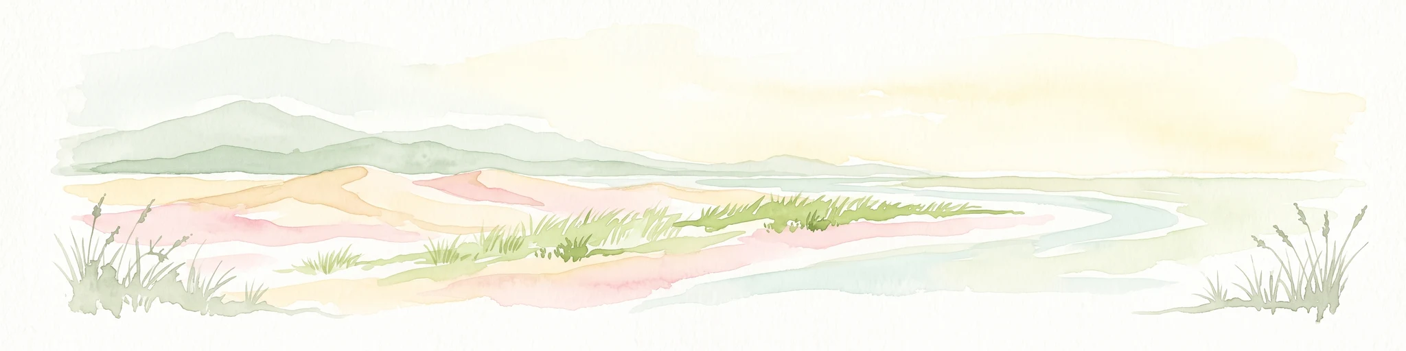
A horizontal watercolor painting showing a soft coastal scene with rolling dunes, sparse grasses, and a calm shoreline under a light sky.
Nature reservePas-de-Calais
13 km away#1 closest

Northeast

Réserve naturelle nationale du Platier d'Oye: Protected Coastal Landscape and Wetland Geography

Coastal dunes and migratory bird habitats in Pas-de-Calais

Located along the Opal Coast, the Réserve naturelle nationale du Platier d'Oye represents a complex mosaic of tidal flats, mobile sand dunes, and humid polder meadows. This protected area offers unique insight into the ecological intersection of maritime forces and terrestrial environments, functioning as a primary staging ground for diverse migratory species within the Hauts-de-France coastal region.

Area
3.91 km²
Established
1987
IUCN
IV
Relief
Lowland
Nature reserveHauts-de-France
About 14 km away#2 closest

West

Réserve naturelle régionale de la forteresse de Mimoyecques: Regional Nature Reserve Geography

Protected subterranean habitat and wartime heritage in Hauts-de-France.

Located in the rolling lowlands of the Pas-de-Calais, the Réserve naturelle régionale de la forteresse de Mimoyecques is a uniquely managed protected area. Its landscape integrates historical military architecture with modern biodiversity conservation, focusing on the protection of rare underground roosting environments for diverse bat species within the regional Hauts-de-France terrain.

Area
0.016 km²
Established
2012
Relief
Lowland
Climate
Temperate
A horizontal watercolor painting showing a soft landscape with green vegetation, pink accents, and a winding body of water leading towards distant hills.
Nature reserveFrance
About 18 km away#3 closest

West

Réserve naturelle régionale du mont de Couple: Protected Chalk Escarpment and Coastal Viewpoint

A limestone ridge sanctuary in the northern French Boulonnais region

Spanning a rare chalk cuesta in northern France, this protected area balances ecological conservation with distinct geological features. The reserve provides critical habitat for orchids and protected flora while serving as a strategic viewpoint across the Straits of Dover and the surrounding Opal Coast terrain.

Area
0.136 km²
Established
1997
Relief
Upland
Climate
Temperate
Nature reserveHauts-de-France
24 km away#4 closest

Northeast

Réserve naturelle régionale de Grande-Synthe: Protected Geography and Regional Mapping

Nature reserve landscapes in the Hauts-de-France coastal plain

Spanning 174 hectares on the edge of the Dunkirk urban zone, this protected area serves as a model for ecological restoration. Examine the patchwork of sandy grasslands, wetlands, and mature hedgerows that define the reserve, and see its position as a link in the regional green and blue ecological corridor of northern France.

Area
1.74 km²
Established
2015
Relief
Lowland
Climate
Temperate
Nature reserveHauts-de-France
About 25 km away#5 closest

West

Réserve naturelle régionale du pré communal d'Ambleteuse: Regional Nature Reserve Geography

Coastal dune relics and protected marshland in Hauts-de-France.

This protected area provides an essential look at the coastal geography of the Opal Coast. Featuring a complex mosaic of ancient dune turf, dry heath, and wet meadows, the reserve stands as a landmark for biodiversity and traditional land management in northern France.

Area
0.605 km²
Established
1991
IUCN
IV
Relief
Lowland
Nature reserveHauts-de-France
26 km away#6 closest

Southeast

Réserve naturelle régionale du plateau des landes: Regional Nature Reserve Landscape Profile

Protected heathland geography in the Pas-de-Calais corridor.

Understand the ecological structure of the Réserve naturelle régionale du plateau des landes. This protected area features a unique crescent shape and mosaic of heathland sectors spread across several communes, offering a focused study of low-elevation inland conservation management in the heart of northern France.

Area
1.811 km²
Established
2009
IUCN
IV
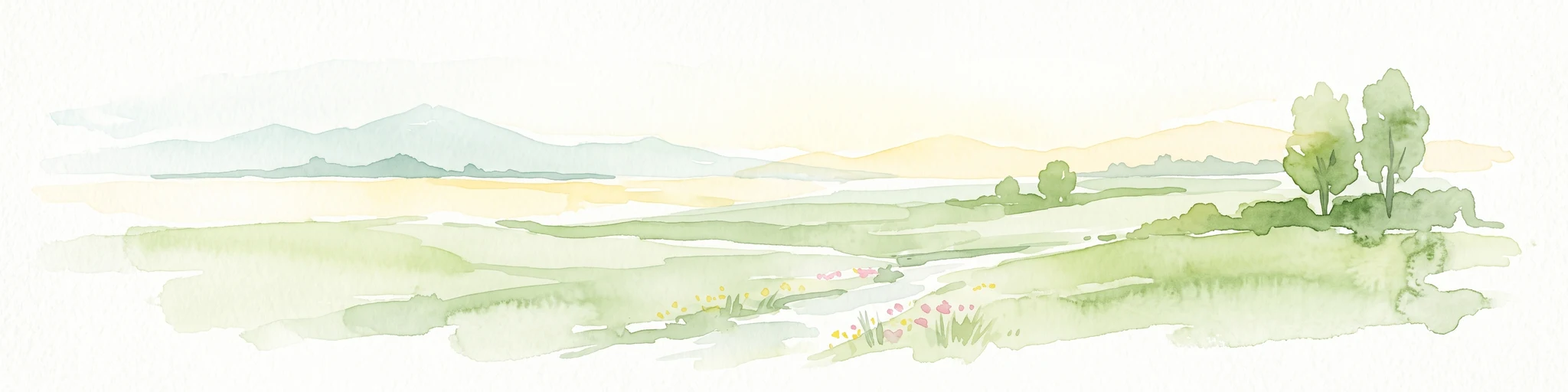
A soft watercolor painting of a green meadow, featuring gentle hills in the distance, a small stream flowing through the center, and a few scattered trees, all set against a white background.
Nature reserveHauts-de-France
About 28 km away#7 closest

Southeast

Réserve naturelle régionale des prairies du Schoubrouck: Geography and Protected Area Overview

Wet-meadow habitats and historic watergang networks in northern France.

Located in the Hauts-de-France region, Réserve naturelle régionale des prairies du Schoubrouck provides a focused look at the cultural and ecological heritage of Flemish lowland landscapes. This site preserves an essential mosaic of wet grasslands and traditional drainage systems, serving as a key example of habitat-specific conservation stewardship within the rural fabric of the Nord department.

Area
0.102 km²
Established
2012
IUCN
IV
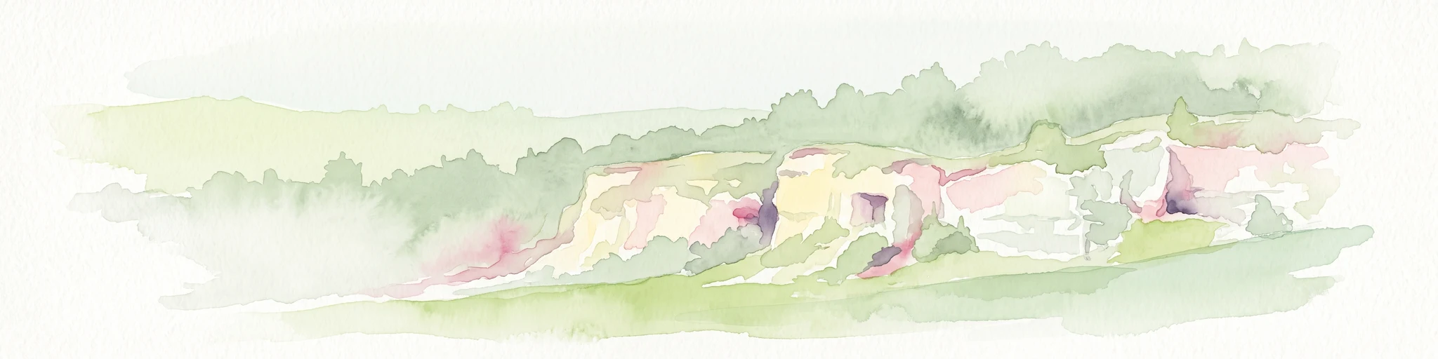
A soft watercolor painting of a grassy landscape with exposed limestone rock faces and green vegetation.
Nature reserveHauts-de-France
About 29 km away#8 closest

Southeast

Réserve naturelle régionale des anciennes carrières de Cléty: Protected Geological Landscape

Regional nature reserve in the Hauts-de-France, France

A significant geological protected area in the Pas-de-Calais, this reserve features an exposed chalk quarry face that serves as a stratigraphic record for the Cretaceous period. The landscape hosts a rare intersection of geological heritage and diverse ecosystems, including orchids, butterflies, and bat colonies, within a compact footprint.

Area
0.02 km²
Established
2011
IUCN
IV
MoriAtlas Explorer

Explore the Geographic Boundaries of Réserve naturelle régionale de Pont d'Ardres

Examine the mapped landscape of the Réserve naturelle régionale de Pont d'Ardres to understand its role in regional conservation. Use MoriAtlas to trace these unique wetland basins and their significance as a sanctuary for migratory waterbirds across northern France.