Mori Atlas logo
Nearby park discovery

Regional map analysis of mountain landscapes and nearby protected territory

Protected Areas and National Parks Near Sierra de San Pedro Mártir National Park

Explore the geographic distribution of protected lands surrounding Sierra de San Pedro Mártir National Park. This regional mapping provides context for the mountain wilderness and surrounding diverse terrain, offering a visual way to compare nearby park boundaries and regional landscape features within the Baja California territory.

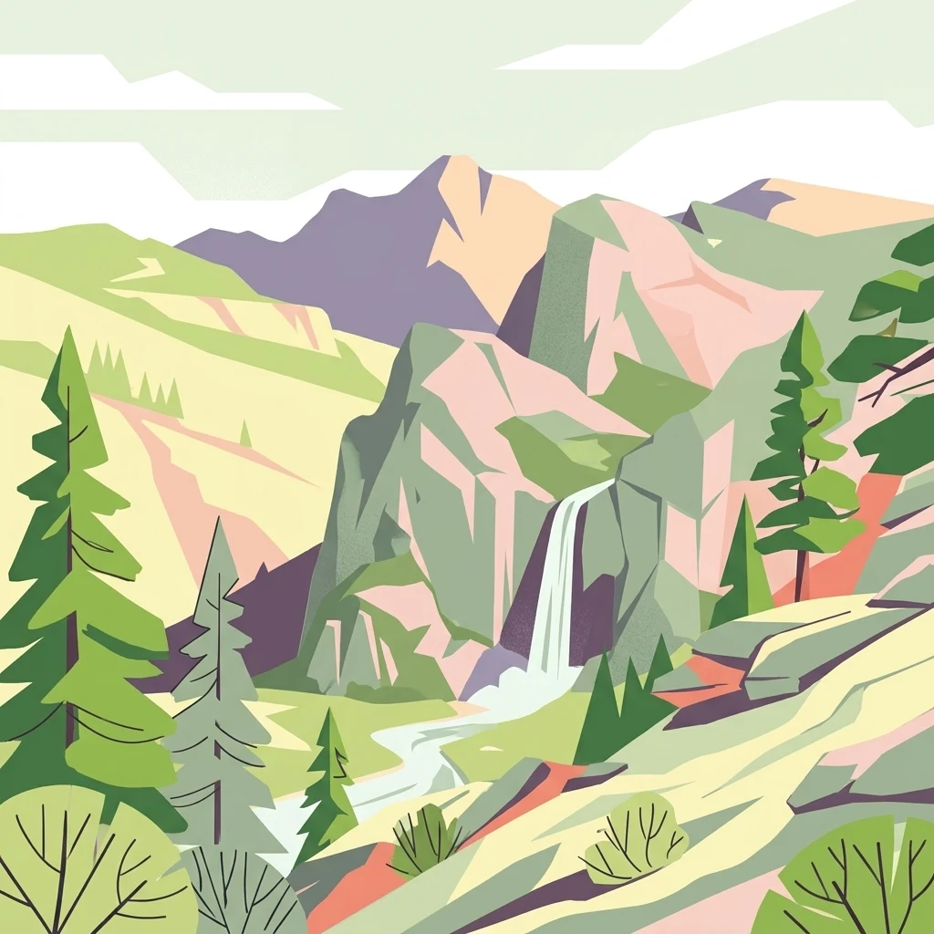
Illustration of mountain landscape with waterfall, pine trees, and rocky terrain

Mountain oasis of Baja California with ancient pines and rare wildlife

Sierra de San Pedro Mártir National Park

Sierra de San Pedro Mártir National Park is a protected mountain wilderness in the Mexican state of Baja California, established in 1947 to preserve one of the peninsula's few remaining pine forest ecosystems. The park encompasses a rugged granite mountain range that rises dramatically from the surrounding desert, creating an ecological oasis in the middle of the Baja California peninsula. At the heart of the park lies Picacho del Diablo, the highest peak in both the park and all of Baja California, reaching 3,096 meters above sea level. The mountain range serves as a critical habitat for bighorn sheep and has become a cornerstone of the California condor reintroduction program in Mexico, marking the first return of these magnificent birds to the region since 1937. The park also hosts the National Astronomical Observatory, home to Mexico's largest optical telescope, situated on Cerro de la Cúpula at an elevation of 2,830 meters.

Location
Mexico
Park type
National park
Established
1947
Area
729.1 km²
Highest point
3,096 m
Sierra de San Pedro Mártir National Park Atlas
Regional park map

See the ranked park cluster in its geographic setting

Nearby parks around Sierra de San Pedro Mártir National Park

This regional map shows the same 20 nearby parks ranked below around Sierra de San Pedro Mártir National Park. Select a ranked marker to highlight that park’s boundary where boundary data is available.
Reference park: Sierra de San Pedro Mártir National ParkRanked nearby park20 nearby parks shown
20 nearby parks

Ranked spatial proximity, direction, and regional park geography for comparative analysis

Parks and Protected Areas Geographically Near Sierra de San Pedro Mártir National Park

Geographic separation metrics organize surrounding protected areas by linear proximity to Sierra de San Pedro Mártir National Park for structured regional comparison. Analysis of neighboring boundaries and recorded characteristics reveals broader ecological patterns across the surrounding terrain.
Wildlife reserveBaja California
About 102 km away#1 closest

South

Valle de los Cirios Wildlife Reserve: Mapped Geography and Protected Desert Landscapes

Exploring the diverse arid terrain of the Baja California peninsula

Valle de los Cirios represents a premier protected landscape in Mexico, characterized by its iconic cirio cactus woodlands and deep mountain sierras. The reserve connects vast stretches of desert habitat from the Pacific coast to the Gulf of California, creating a unique geographic corridor for endemic species and wide-ranging desert mammals.

Area
25,217.8 km²
Established
1980
Relief
Mountain
Climate
Arid
National parkEnsenada Municipality
About 134 km away#2 closest

Northwest

Constitution 1857 National Park National Park: Mapped Protected Landscape Discovery

Geographic context and park boundaries for Ensenada Municipality.

Delve into the protected landscape of Constitution 1857 National Park, a key national park entity located in the Ensenada Municipality. This resource highlights the park's distinct geographic features and mapped protected area, crucial for atlas exploration and understanding the regional natural terrain. Gain structured insight into the park's identity and its role within the wider geographic context.

Area
50.09 km²
Established
1962
IUCN
II
Relief
Mountain
Wildlife reserveCalifornia
About 225 km away#3 closest

North

Fish Creek Mountains Wilderness: Mapping the Rugged Colorado Desert Plateau in California

Exploring desert ridges and ancient shoreline remnants

Fish Creek Mountains Wilderness offers a study in desert geomorphology, rising as an abrupt plateau above the surrounding basin. This Bureau of Land Management protected area contains intricate erosional landforms, including twisting canyons and natural rock tanks sustained by limestone outcrops. These features create a critical desert wildlife habitat that maintains moisture long after seasonal storms, offering a quiet, undisturbed perspective on the broader Imperial County landscape.

Area
86.7 km²
Established
1994
IUCN
Ib
Relief
Mountain
Wildlife reserveCalifornia
About 233 km away#4 closest

North

Little Picacho Wilderness: Exploring the Protected Volcanic Terrain and Desert Geography

A rugged wilderness reserve in southeastern California

Little Picacho Wilderness is a protected desert landscape located along the lower Colorado River corridor. The area is defined by dramatic volcanic ridges, Picacho Peak, and extensive arid desert washes. This wildlife reserve serves as an important refuge for desert bighorn sheep, desert tortoises, and free-roaming wild horse herds, offering a clear window into the rugged geography of the Sonoran Desert.

Area
154.65 km²
Established
1994
IUCN
Ib
Relief
Mountain
Wildlife reserveCalifornia
About 251 km away#5 closest

North

Indian Pass Wilderness: Protected Sonoran Desert Geography and Terrain Mapping

Analyzing desert mountain slopes and riparian corridors in California

Indian Pass Wilderness represents a key protected-area unit where the arid Chocolate Mountains descend into the Lower Colorado River Valley. The area is defined by its dramatic drainage patterns, including Julian Wash, and its role as a transition zone between desert upland and riparian edge, serving as a critical study for understanding southwestern desert geography and protected landscape boundaries.

Area
131.19 km²
Established
1994
IUCN
Ib
Relief
Mountain
A watercolor painting showing a coastal landscape with pale pink foreground, green vegetation, a light-colored bay, and soft-hued mountains in the background.
Biosphere reserveBaja California
About 286 km away#6 closest

Southeast

Bahía de los Ángeles Biosphere Reserve: Geography and Protected Area Atlas

Coastal desert, volcanic islands, and Sea of Cortez marine channels

Spanning 1,500 square miles, this biosphere reserve preserves the dramatic transition from the arid Baja California desert to the deep, productive waters of the Gulf of California. The protected area encompasses a diverse chain of volcanic islands, including Isla Ángel de la Guarda, and supports high biological productivity driven by deep submarine canyons and marine currents.

Area
3,879.56 km²
Established
2007
Relief
Mixed relief
Climate
Arid
National parkCalifornia
About 307 km away#7 closest

North

Joshua Tree National Park: Mapped Protected Landscape and Regional Geography in California

Explore unique park boundaries and natural terrain across Southern California.

Joshua Tree National Park is a vital protected area in California, known for its distinctive natural landscape and geographic setting. This entry provides detailed information on the park's mapped boundaries and the unique terrain it encompasses, serving as a key point for atlas exploration of protected lands. Understand the regional geography and the specific character of this significant national park.

Area
3,217.9 km²
Established
1994
IUCN
II
Visitors
3.1M annual
Watercolor painting of a mountain landscape with rolling green hills and small evergreen trees, with soft purple mountain silhouettes in the distance.
Protected landscapeCalifornia
About 309 km away#8 closest

North

San Bernardino National Forest: Geography and Protected Landscape Atlas

Transverse and Peninsular mountain ranges in California

Spanning over 820,000 acres, San Bernardino National Forest offers a look at one of Southern California's most significant protected landscapes. The forest features seven wilderness areas and a dramatic range of elevation, moving from arid chaparral to old-growth mixed conifer forests. Our geographic mapping traces the unique structure of four intersecting mountain ranges, detailing the terrain from deep canyons to high alpine peaks.

Area
3,333.87 km²
Established
1907
Relief
Mountain
Climate
Mediterranean
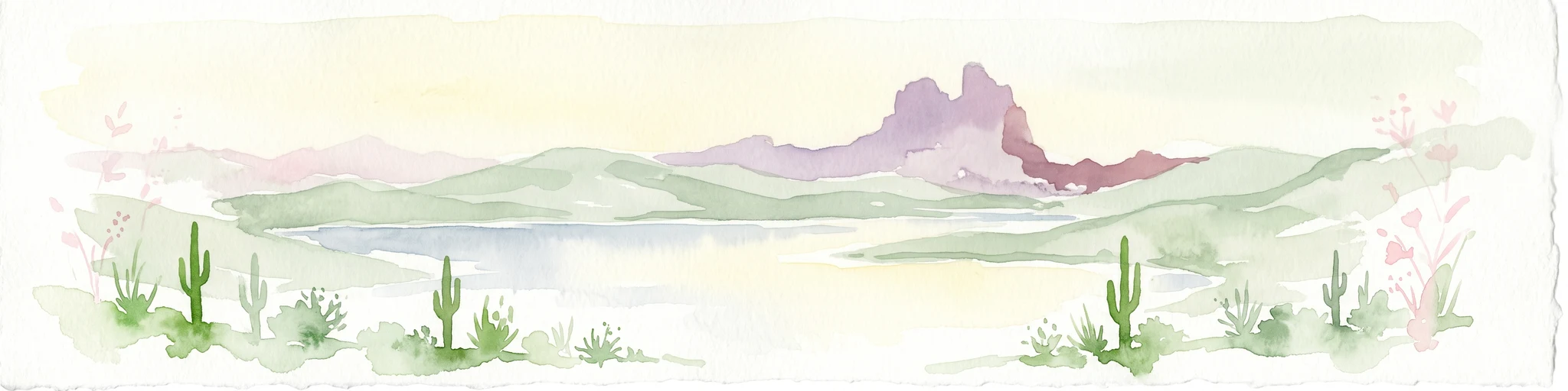
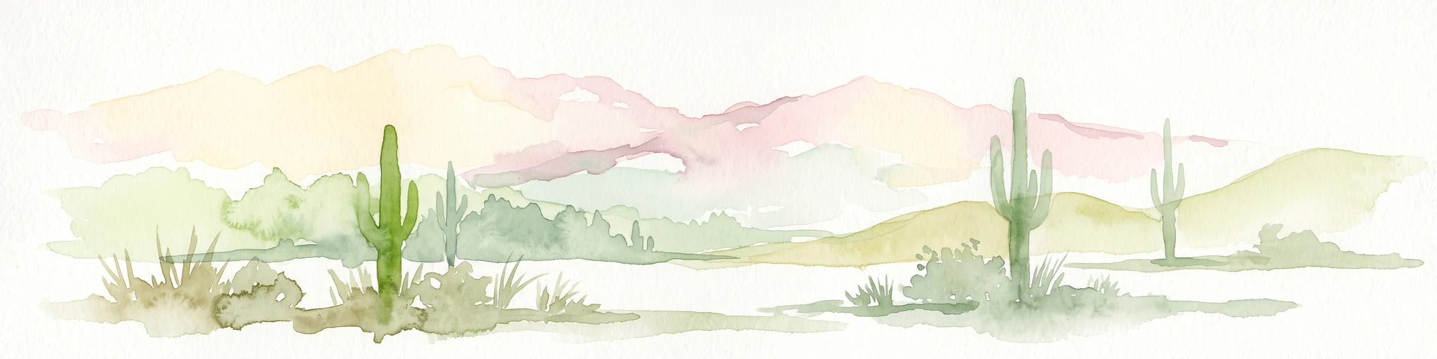
A soft watercolor illustration depicting a panoramic desert landscape with prominent rugged purple mountains in the background, rolling green hills in the midground, and saguaro cacti in the foreground.
Wildlife reserveArizona
About 327 km away#9 closest

Northeast

Eagletail Mountains Wilderness: Mapping Arizona Sonoran Desert Protected Areas

Remote ridgelines and desert basin geography in central Arizona.

Analyze the desert mountain terrain of the Eagletail Mountains Wilderness. This protected area features jagged rocky peaks, open desert plains, and a unique position near the Bouse Wash headwaters, making it a key study for Arizona desert geography and arid-land preservation.

Area
407 km²
IUCN
Ib
Relief
Mountain
Climate
Arid
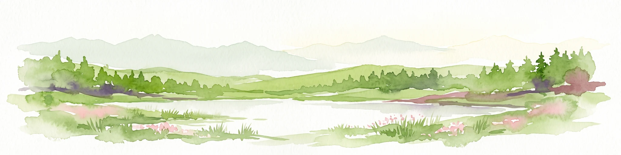
A soft, painterly watercolor illustration showing gentle green hills sloping down to a calm, reflective body of water with a light, pastel sky.
Biosphere reserveBaja California
About 338 km away#10 closest

Southwest

Isla Guadalupe Biosphere Reserve: Remote Island Geography and Protected Marine Landscapes

Mapped terrain and volcanic ecosystem boundaries in the Mexican Pacific.

Located in the Pacific Ocean west of the Baja California peninsula, Isla Guadalupe features a dramatic north-south oriented landscape. The protected area encompasses high-elevation pine forests, recovering chaparral slopes, and vital offshore habitats. This summary provides essential geographic context regarding the reserve boundaries, terrain features such as Mount Augusta, and its ecological status as a key oceanic protected area.

Area
253.8 km²
Established
2005
Relief
Mountain
Climate
Mediterranean
National parkBaja California
About 338 km away#11 closest

Southeast

San Lorenzo Marine Archipelago National Park: Protected Area and Mapped Landscape Geography

Explore its national park status and regional context in Baja California.

Delve into San Lorenzo Marine Archipelago National Park, a key protected area contributing to Baja California's diverse geography. As a national park, its mapped boundaries and unique landscape characteristics provide essential data for atlas exploration and understanding regional conservation efforts. This entry focuses on the park's identity as a mapped protected entity, ideal for researchers and explorers seeking structured geographic insights into natural reserves.

Area
504.42 km²
Established
2005
IUCN
II
Relief
Upland
Watercolor painting showing a soft landscape with rolling hills in the background and a grassy plain with sparse trees and water in the foreground.
Wildlife reserveUnited States of America
About 357 km away#12 closest

North

Riverside Mountains Wilderness: Mapping the Desert Peaks and Protected Landscapes of California

A rugged desert wildlife reserve within the Lower Colorado River Valley

Riverside Mountains Wilderness features a tightly woven mosaic of dry drainages, rocky slopes, and sheltered canyon pockets. Situated in Riverside County, California, this protected area showcases a striking transition between steep mountain crags and open desert flats, providing a meaningful look at the Sonoran and Colorado Desert ecosystems along the Colorado River corridor.

Area
97.14 km²
Established
1994
Relief
Mountain
Climate
Arid
Watercolor painting of a desert scene with rolling hills in the background and saguaro cacti in the foreground.
Wildlife reserveMaricopa County
About 376 km away#13 closest

Northeast

Hummingbird Springs Wilderness: A Protected Sonoran Desert Landscape in Maricopa County

Rugged mountain terrain and desert wash networks

Spanning more than 31,000 acres, Hummingbird Springs Wilderness serves as a core protected area in the Sonoran Desert. The geography encompasses the Belmont Mountains, providing a stark contrast of arid peaks and sandy basins that extend through western Maricopa County. This roadless wilderness represents an essential connection between adjacent protected lands, maintaining a vast and isolated desert environment shaped by centuries of geological forces.

Area
126.26 km²
Established
1990
IUCN
Ib
Relief
Mountain
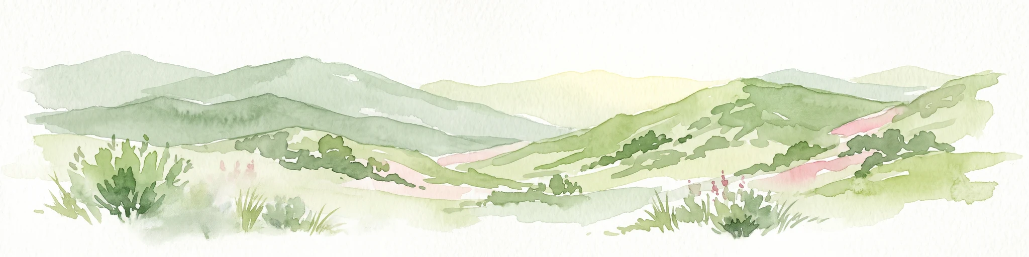
A soft, painterly watercolor illustration depicting layered green mountain ridges and rolling foothills under a bright, open sky.
Protected landscapeCalifornia
About 414 km away#14 closest

Northwest

Angeles National Forest: Mapped Protected Landscapes and Geographic Terrain in California

Mountain wilderness and Mediterranean watershed geography

Spanning the San Gabriel and Sierra Pelona ranges, Angeles National Forest serves as a dramatic ecological transition zone. This analysis of its protected landscape focuses on the interaction between steep canyons, high peaks, and the distinct chaparral and conifer zones that shape California geography.

Area
2,652.26 km²
Established
1908
Relief
Mountain
Climate
Mediterranean
Nature reserveSonora
About 417 km away#15 closest

Southeast

Isla San Pedro Mártir Nature Reserve: Mapping the Geography of the Gulf of California

Isolated rocky terrain and productive marine sanctuary

Isla San Pedro Mártir serves as a distinct protected area marked by its extreme isolation and dramatic vertical cliffs. The reserve acts as a core seabird nesting site supported by nutrient-rich cold-water upwellings in the Gulf of California, providing a vital example of arid island and marine geography.

Area
2.729 km²
Scope
Mixed
Marine protected areaCalifornia
About 421 km away#16 closest

Northwest

Channel Islands National Marine Sanctuary Marine Protected Area Map and Atlas

Southern California marine habitat and island topography

Channel Islands National Marine Sanctuary protects 1,470 square miles of diverse marine environment near the California coast. This sanctuary guards vital kelp forests and deep seafloor ecosystems while preserving deep water archaeological sites and the biological legacy of the Northern Channel Islands.

Area
3,807 km²
Established
1980
IUCN
V
Relief
Lowland
National parkPima County
About 431 km away#17 closest

East

Saguaro National Park: Discover Its Protected Landscape Geography and Mapped Boundaries

Explore the natural terrain and regional context of this national park.

Saguaro National Park offers a focused exploration of a specific protected landscape, highlighting its unique geographic features and mapped boundaries within Pima County. This detail page provides an atlas perspective, allowing for a deep dive into the park's natural terrain and its regional significance. Understand the protected area's identity and its place within the wider geographical context.

Area
371.16 km²
Established
1994
IUCN
II
Visitors
946.4K annual
National parkCalifornia
About 436 km away#18 closest

Northwest

Channel Islands National Park: A Protected Landscape within California's Geography

Explore its unique mapped terrain and protected area context.

Channel Islands National Park stands as a key protected area, providing critical insight into California's unique geographic features and natural landscapes. This entry focuses on the park's identity as a protected entity, detailing its mapped boundaries and the surrounding regional geography. It offers an atlas-level view, essential for understanding the park's contribution to the broader landscape context of the United States and its conservation importance.

Area
1,009.94 km²
Established
1980
IUCN
II
Visitors
323.2K annual
A watercolor illustration of rolling green hills, a small shoreline, and patches of grass against a white background.
Protected landscapeCalifornia
About 443 km away#19 closest

Northwest

Santa Monica Mountains National Recreation Area: Protected Landscape and Regional Geography

Exploring the ecological and cultural tapestry of Southern California's coastal mountains.

Santa Monica Mountains National Recreation Area comprises a complex array of parks and preserves that protect the unique Mediterranean climate of Southern California. The terrain showcases rugged ridgelines, deeply carved canyons, and vital coastal habitats. As a significant urban protected area, it offers an essential look at how biodiversity, human history, and regional geography coexist within one of the most populated zones in the United States.

Area
638 km²
Established
1978
IUCN
V
Visitors
795.2K annual
Watercolor painting of a calm lake surrounded by green forests and distant mountain ridges.
Protected areaArizona
About 457 km away#20 closest

Northeast

Prescott National Forest: Geographic Overview of Arizona Protected Landscapes and Wilderness

Regional geography and protected terrain map of the Bradshaw Mountains

Spanning over one million acres, Prescott National Forest represents a defining outdoor landscape in Arizona. The terrain transitions from high desert chaparral to dense ponderosa pine forests, featuring eight distinct wilderness areas, rugged canyon systems, and essential watershed corridors that shape the regional ecology near Prescott.

Area
5,100 km²
Established
1908
Relief
Mountain
Climate
Temperate
Distance methodology

Geographic measurements, not driving distances

How nearby park distances are calculated

Distances use park boundaries whenever the available geometry allows it. When one or both boundaries are missing, the mapped park locations provide a clearly labelled estimate. Every value represents straight-line geographic separation and does not use roads or routing.

Boundary distance

Calculated between the nearest points of both park boundaries.

Location-to-boundary estimate

Estimated from one mapped park location to the nearest boundary of the other park.

Mapped-location estimate

Estimated between the mapped locations of both parks.

MoriAtlas Explorer

Continue Exploring Sierra de San Pedro Mártir National Park's Geography and Atlas Features

Deepen your understanding of Sierra de San Pedro Mártir National Park by exploring its specific geographic attributes and mapped protected area context. This focused atlas view reveals how the park fits into the wider landscape of Baja California, providing a structured foundation for appreciating its conservation significance and natural terrain. Continue your discovery of this important national park's spatial identity and geographic attributes.