
Peaks
Rouwenberg
86 m

Examining terrain elevation, forest distribution, and mapped boundary features in Gelderland
This geographic profile details the physical composition of Veluwezoom National Park, covering its 50 square kilometer expanse within the Gelderland region. Explore the Upland terrain with recorded peaks reaching 110 meters, alongside diverse environmental habitats including heath, temperate forests, and stream networks.
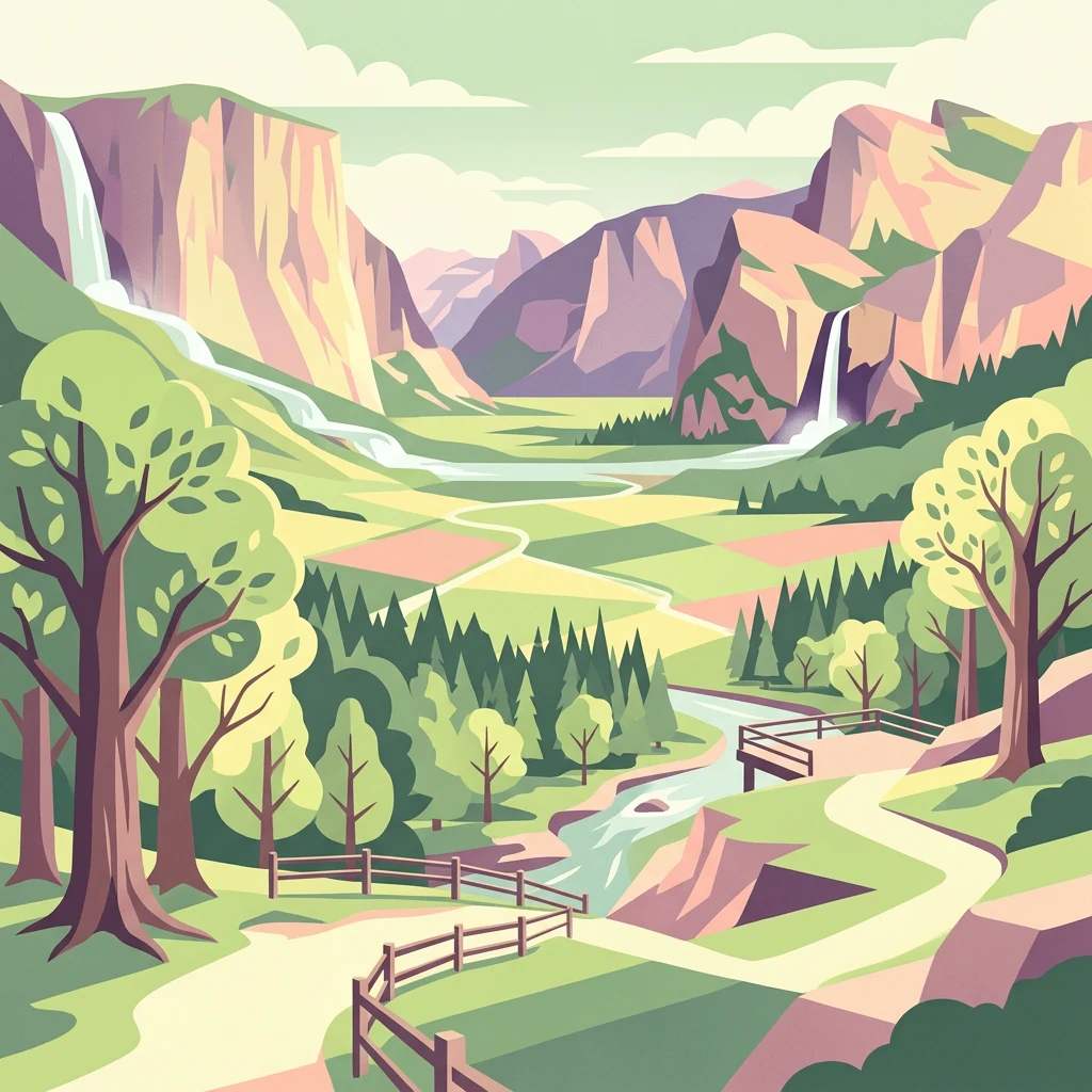
The Netherlands' oldest national park protecting Veluwe heathlands and ancient forests
Veluwezoom National Park is the oldest national park in the Netherlands, established in 1930. Located in the province of Gelderland at the southeastern edge of the Veluwe region, the park covers approximately 50 square kilometers of rolling heathland, ancient forests, and remnant sand dune areas. The landscape is characterized by terminal push moraines from the Saalian glaciation, providing the Netherlands' most pronounced relief with elevations reaching 110 meters above sea level at the Signaal Imbosch, the highest point in Gelderland. The park is privately owned and managed by Natuurmonumenten, the Netherlands' largest nature conservation organization. Its ecosystems support a rich diversity of habitats ranging from dry heathlands and drift sands to species-rich beech forests on the more fertile loess soils of the southern valleys.
National and regional placement within the Gelderland province
Interactive boundary geometry, spatial limits, and area coverage
Upland topography, peaks, streams, and recorded natural features
Peaks
86 m
Peaks
79.8 m
Peaks
73 m
Peaks
87.5 m
Streams
Viewpoints
Temperate upland relief, forest cover, and diverse habitat classifications
Hills · Valleys · Forest · Grassland · Wetland · Dunes · Rivers
Temperate broadleaf forest · Temperate coniferous forest · Heath · Dune habitat · Riverine habitat
Trace the regional spread of diverse protected landscapes across the Veluwe, mapping connected natural features.
North

Glacial moraines, heathlands, and inland sand systems
Investigate the Veluwe, a premier protected area in the Gelderland province characterized by its historic push moraines and extensive ecological zones. The region encompasses significant sand drift complexes, dense woodlands, and vital spring-fed streams, offering a clear view of the diverse natural terrain found throughout the central Netherlands.
Northeast
Ecological transition zone in the Gelderland province
Landgoederen Brummen showcases a rare geological intersection in the Netherlands where Veluwe sand ridges meet IJssel river clays. This protected area features a unique concentration of seepage-fed pools, blue grasslands, and alluvial alder forests, demonstrating how centuries of estate management coexist with preserved wild habitat remnants.
Northwest
Explore Gelderland's unique heathland, sand dune, and woodland terrain.
De Hoge Veluwe National Park represents a distinctive protected area within the Gelderland region of the Netherlands. Its landscape is characterized by a unique mosaic of heathlands, sand dunes, and woodlands, shaped by ice age processes and historical land use. This page offers an atlas-focused exploration of its geographic setting, mapped boundaries, and the specific terrain that defines this significant natural and cultural heritage site.
Southeast

Riverine wetland ecosystems in North Rhine-Westphalia
Uncover the protected landscape of Unterer Niederrhein, an expansive bird protection area along the German Lower Rhine. The region features a mosaic of sand banks, oxbow lakes, and seasonally flooded grasslands, creating a highly interconnected riverine ecosystem that spans across the districts of Kleve and Wesel.
South
A preserved Niedermoor relic in the Düffel floodplain
Kranenburger Bruch stands as a prominent nature reserve in North Rhine-Westphalia, protecting a distinct lowland peat bog and alder carr forest. The area is defined by a low-lying basin topography, seasonal shallow pools, and hedgerow-lined pastures that characterize the traditional Düffel region. This reserve is recognized for its ecological density, hosting diverse birdlife and rare wetland flora across a network of brooks and open water bodies.
West
Rare blue grasslands and stream valley quaking bogs
Located in the Gelderse Vallei, Binnenveld stands as a vital nature reserve representing the complex history of Dutch polder landscapes. The area combines traditional meadowland with strictly protected habitats like the Bennekomse Meent, serving as a haven for meadow birds and an important site for ecological restoration and wetland preservation.
Southeast
Protected wet grasslands and drainage networks near the Rhine
Hetter-Millinger Bruch constitutes an expansive nature reserve in the Lower Rhine region, noted for its four-part structural design and commitment to habitat management. Spanning a landscape of open meadows, grazing pastures, and antique land drainage systems, the reserve acts as a vital ecological corridor along the border of Germany and the Netherlands. Its flat, low-lying terrain provides a classic representation of regional riverine geography.
East
Tracing the mapped boundaries of historic heath and fen ecosystems
Stelkampsveld acts as an ecologically distinctive protected area in the eastern Netherlands. Covering 102 hectares, the terrain showcases a recovered mosaic of hedgerows, small enclosed fields, and re-established wetlands. The site is recognized for its botanical diversity, including rare orchid and moss species within the broader Natura 2000 network of Gelderland.
Delve deeper into the mapped terrain and protected area features of Veluwezoom National Park. Understanding its unique geography, glacial origins, and the interplay of its ancient forests and heathlands provides crucial context for exploring the broader natural atlas of the Gelderland province and the Netherlands.