Mori Atlas logo
Nearby park discovery

Compare protected geography across a cut and recovering raised bog

Position Westliches Borchelsmoor within Rotenburg's wider raised-bog protected network

Westliches Borchelsmoor preserves part of a former peat dome through drained peat, old extraction cuts, dark pools, Molinia grass, birch mire, bog woodland, rewetting areas, and moist meadow edges. Compare protected records by separation and direction while keeping designation, country context, mapped position, and restoration character distinct.

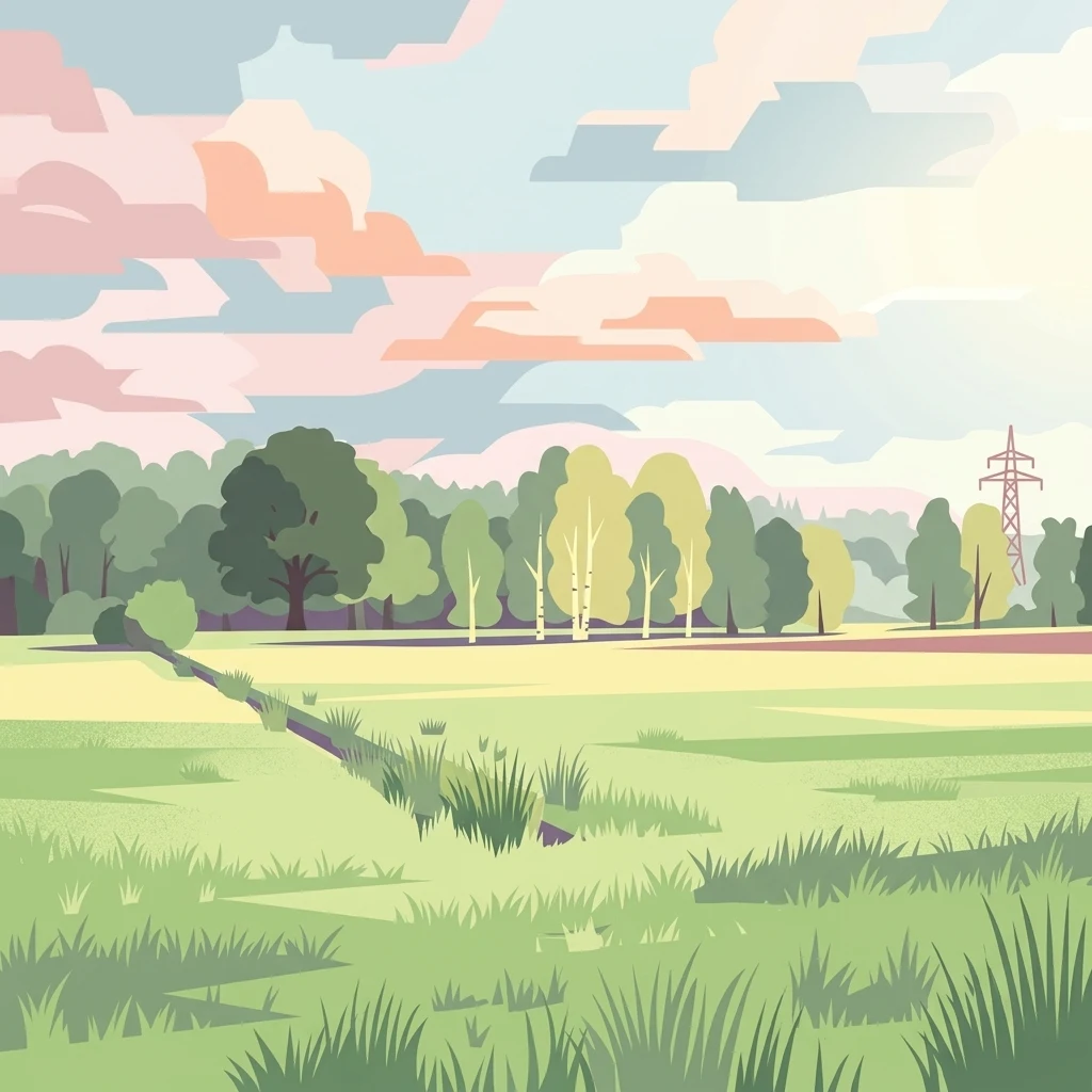
A flat digital illustration of an open meadow leading to a forest edge with a small drainage ditch in the foreground and a power line pylon on the right under a soft, pastel-colored sky.

Pine-fringed relic of a former raised bog in the Lower Saxony plain near Rotenburg (Wümme).

Westliches Borchelsmoor

Westliches Borchelsmoor is a designated nature reserve in northern Lower Saxony, lying in the rural agricultural landscape northwest of Rotenburg (Wümme). It covers 125 hectares of remnant raised bog, once part of a much larger peatland known as the Borchelsmoor. Today the area is a mosaic of drained peatland, old peat cuttings, recovering wet habitats, birch woodland, and surrounding wet grassland. As part of the larger FFH site "Wiestetal, Glindbusch, Borchelsmoor," it plays a role in Natura 2000 conservation efforts for raised bog and associated bog woodland habitats. Although most of the original bog has been drained and fragmented by centuries of peat cutting, the reserve is managed with restoration in mind. Rewetting measures are intended to bring back the wetland character of the site, allowing peat-forming vegetation and bog specialist communities to recover over time. The reserve is bordered by the neighboring Glindbusch protected area, together forming an important network of protected bog and wet woodland in the Rotenburg district.

Location
Germany
Park type
Nature reserve
Established
2010
Area
1.3 km²
Highest point
29 m
Explore Westliches Borchelsmoor Nature Reserve
Regional park map

See the ranked park cluster in its geographic setting

Nearby parks around Westliches Borchelsmoor

This regional map shows the same 20 nearby parks ranked below around Westliches Borchelsmoor. Select a ranked marker to highlight that park’s boundary where boundary data is available.
Reference park: Westliches BorchelsmoorRanked nearby park20 nearby parks shown
20 nearby parks

Explore distance-ranked protected areas and regional park geography surrounding Westliches Borchelsmoor.

Parks and Protected Areas Geographically Near Westliches Borchelsmoor

Examine a distance-ranked collection of nearby protected areas to evaluate geographic separation and regional environmental patterns around Westliches Borchelsmoor. Compare recorded characteristics across surrounding landscapes to understand how localized conservation zones fit within broader territorial networks.
Nature reserveLower Saxony
About 4.8 km away#1 closest

Southeast

Stellmoor und Weichel: Geographic Profile of a Lower Saxony Nature Reserve

Protected geest woodlands and peat-bog mosaic landscapes

Examine the territorial boundaries and ecological features of Stellmoor und Weichel. Located on the flat geest ridge of Northern Germany, this reserve maps the transition from managed deciduous woodland to complex mire, willow thicket, and bog-fringe water systems, maintaining a long-standing natural forest reserve status.

Area
2.18 km²
Established
2018
IUCN
IV
Nature reserveLower Saxony
About 5.5 km away#2 closest

Southwest

Wiestetal Nature Reserve: Mapping the Wieste Stream and Riparian Habitat Corridor

Protected floodplain geography in Lower Saxony, Germany

Wiestetal acts as a critical nature reserve between Mulmshorn and Ottersberg, protecting the unique ecological character of the Wieste lowland stream. The area is defined by its meandering water channels, flooded sand quarry ponds, and diverse forest edges that sustain local biodiversity. This protected landscape offers a detailed look at the interplay between glacial sand deposits and the vibrant aquatic ecosystems of Northern Germany.

Area
3.82 km²
Established
2013
IUCN
IV
Relief
Upland
Nature reserveLandkreis Rotenburg (Wümme)
About 7.8 km away#3 closest

Southeast

Wümmeniederung mit Rodau, Wiedau und Trochelbach: Protected Wetland and Heath Landscape

Regional geography and floodplain connectivity in Landkreis Rotenburg

This nature reserve protects a sprawling lowland landscape characterized by the Wümme, Rodau, Wiedau, and Trochelbach rivers. The terrain features a mosaic of near-natural meandering streams, species-rich wet meadows, and rare raised bog remnants, providing a comprehensive overview of northern German lowland ecology.

Area
28.96 km²
Established
2020
IUCN
IV
Relief
Lowland
Nature reserveLower Saxony
About 16 km away#4 closest

South

Wolfsgrund Nature Reserve: Geographic Overview of Protected Heathlands in Lower Saxony

Inland dune topography and alder swamp forest ecology

Wolfsgrund represents a core protected area in Lower Saxony, defined by its unique inland dune geography and the narrow valley of the Everser Bach. The reserve encompasses a diverse ecological gradient, protecting sensitive dry heath, moist heathlands, and alder swamp forests that serve as a crucial refuge for regional biodiversity. This structured geographic overview highlights the terrain transitions and conservation significance of this essential German nature reserve.

Area
0.458 km²
Established
1977
IUCN
IV
Nature reserveLower Saxony
About 17 km away#5 closest

South

Waller Moor Nature Reserve: Geographic Context and Protected Landscape Profile

Mapping raised bog restoration in the Verden district of Lower Saxony

Waller Moor represents a focused effort to restore degraded peatland within Lower Saxony. By integrating grassland buffers and small pond habitats, the reserve preserves a specific lowland bog character. Its placement near the Spanger Holz woodland highlights the interplay between protected core habitats and managed regional terrain in northern Germany.

Area
0.25 km²
Established
1985
IUCN
IV
Relief
Lowland
Nature reserveLower Saxony
About 18 km away#6 closest

South

Wedeholz Nature Reserve: Geographic Overview of Lower Saxony Protected Forest Landscapes

Ancient oak forests, Geest terrain, and protected wetland habitats

Wedeholz represents a dense forest conservation area in Lower Saxony, defined by its mature oak and beech communities. The reserve terrain transitions from dry sandy Geest soils to delicate pine swamp forests and floating bogs, supporting a high density of deadwood-dependent species and woodland biodiversity within a compact, protected boundary.

Area
1.83 km²
Established
2019
IUCN
IV
Relief
Upland
Nature reserveNiedersachsen
About 22 km away#7 closest

South

Waller Flachteiche Nature Reserve: Exploring the Geography of Protected Landscapes in Niedersachsen

Mapped habitats of a former sand quarry wetland

Waller Flachteiche is a state-recognized nature reserve covering over 22 hectares of sandy, lowland terrain in Germany. The protected area offers a look at a recovered industrial site, where periodically drying ponds and diverse scrubland create a specialized habitat for rare amphibians and wetland flora. Its defined boundaries highlight a critical Natura 2000 component within the broader Niedersachsen region.

Area
0.227 km²
Established
2018
IUCN
IV
Nature reserveLower Saxony
About 23 km away#8 closest

Northwest

Swatte Flag Nature Reserve in Lower Saxony: Protected Landscape and Geographic Overview

An important refuge for heathland and bog-margin habitats.

Swatte Flag is a protected nature reserve in Lower Saxony, known for its two shallow Schlatt ponds and surrounding heathland mosaic. Established to manage rare habitat types within a reclaimed moorland landscape, the reserve features a sharp ecological contrast between its nutrient-poor grassland, wet bog pockets, and the adjacent intensive farmland.

Area
0.164 km²
Established
1965
IUCN
IV
Relief
Lowland
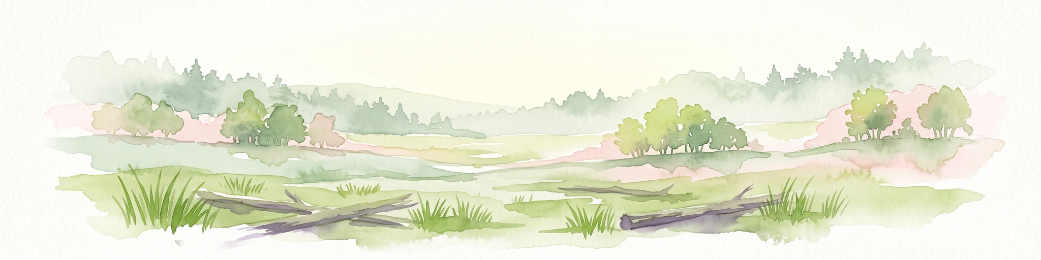
A pale, soft-toned watercolor illustration of a calm river meandering through open, green marshy meadows with distant rolling hills under a soft pink sky.
Nature reserveBremen
About 24 km away#9 closest

West

Borgfelder Wümmewiesen: Protected Wetland and Floodplain Geography in Bremen

An expansive 688-hectare nature reserve with river-fed grasslands.

Borgfelder Wümmewiesen offers a look at one of the largest protected nature reserves in the Bremen region. The landscape is characterized by its flat, open terrain and regular water dynamics that frame a rich mosaic of wet meadows, reedbeds, and ponds, providing essential habitat for breeding and migratory bird species along the Wümme river corridor.

Area
6.88 km²
Established
1987
Relief
Lowland
Climate
Temperate
Nature reserveBremen
About 24 km away#10 closest

West

Untere Wümme Nature Reserve: Riverine Biodiversity and Protected Tidal Landscapes in Bremen

Protected floodplain geography and tidal river habitats.

This nature reserve protects the meandering lower course of the Wümme river, showcasing one of northern Germany's few freshwater tidal systems. Spanning reedbeds, willow forests, and open mudflats, the reserve forms a vital corridor for migratory fish and waterfowl, reflecting a complex mosaic of protected riverine ecosystems and historic meadow landscapes.

Area
1.485 km²
Established
1991
Relief
Lowland
Climate
Temperate
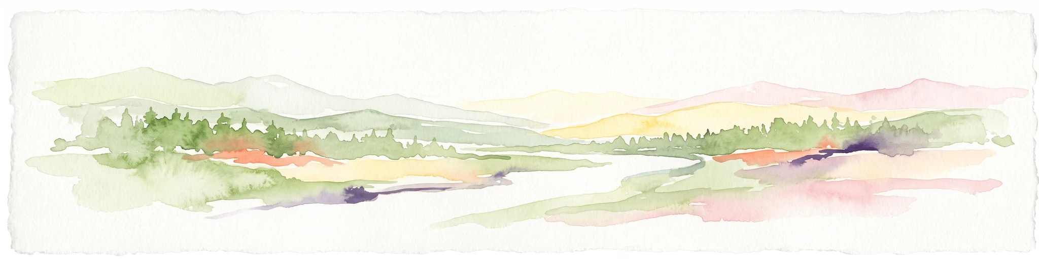
Watercolor painting of a wide, rolling landscape with green trees, golden fields, and soft hills in the background.
Protected areaGermany
About 28 km away#11 closest

Southwest

Krietes Wald (Im Holze) Protected Area: Landscape and Geographic Atlas Summary

A critical urban forest node in the Bremen region of Germany.

Krietes Wald (Im Holze) serves as a significant nature reserve characterized by its mature beech and oak-hornbeam woodland. Spanning a narrow, protected corridor in eastern Bremen, the site provides dense habitat value within an industrial landscape. It stands as a regional reference for saproxylic insect conservation and structural forest development within the federal republic of Germany.

Area
0.083 km²
Established
2015
Relief
Lowland
Climate
Temperate
Nature reserveLandkreis Osterholz
About 28 km away#12 closest

West

Westliche Hälfte des Langen Moores Nature Reserve in Landkreis Osterholz

A protected mosaic of highmoor peatland geography

Examine the distinct ecological features of Westliche Hälfte des Langen Moores, a protected nature reserve in Landkreis Osterholz. This site offers a compact look at highmoor regeneration and the diverse plant communities found within the historic Teufelsmoor cultural landscape of northern Germany.

Area
0.11 km²
Established
1984
IUCN
IV
Nature reserveLower Saxony
About 29 km away#13 closest

South

Verdener Moor Nature Reserve: Geographic Atlas and Protected Area Context

Preserving raised bog ecosystems in Lower Saxony, Germany

Located in the municipality of Kirchlinteln, Verdener Moor functions as a protected nature reserve that demonstrates lowland peatland conservation. The landscape features a distinct mosaic of open water resulting from historical peat extraction, wet heath, and rewilded forest edges. This site offers valuable insight into the restoration of bog habitats through rewetting and bush removal within the broader geography of Lower Saxony.

Area
0.91 km²
Established
1989
IUCN
IV
Relief
Lowland
A soft, painterly watercolor illustration depicting a winding river through a flat green meadow with rolling hills in the background.
Nature reserveBremen
About 30 km away#14 closest

West

Hollerland Nature Reserve: A Protected Cultural Landscape and Wetland in Bremen

Historic marshland terrain with unique saline spring ecosystems

Hollerland is a 293-hectare nature reserve in Bremen, Germany, notable for its well-preserved cultural landscape of wet grasslands and an intricate medieval ditch network. This protected area serves as a critical breeding ground for meadow birds and hosts an ecologically significant inland saline spring, providing a rare habitat for brackish-adapted plant communities deep within the regional landscape.

Area
2.93 km²
Established
1985
IUCN
IV
Relief
Lowland
Protected landscapeBremen
About 31 km away#15 closest

Southwest

Mahndorfer Düne: A Protected Inland Dune Landscape in the City of Bremen

Geological remnants and ecological layering in Northwest Germany.

Mahndorfer Düne is a distinct protected landscape in Bremen, Germany, functioning as one of the final surviving inland dune relics from the Ice Age. The 2.7 hectare area maps a layered transition of sandy soil, dry heathland, and birch-oak woodland, offering an important look at regional post-glacial geology and conservation within a dense urban setting.

Area
0.027 km²
Established
1985
Relief
Lowland
Climate
Temperate
Protected landscapeBremen
About 31 km away#16 closest

Southwest

Mahndorfer Marsch Protected Landscape: Weser River Floodplain and Wetland Atlas

A river-driven marshland corridor in Bremen, Germany

The Mahndorfer Marsch is a protected landscape characterized by its classic Weser floodplain terrain, featuring a network of meadows, channels, and water bodies. Spanning the boundary between Bremen and Lower Saxony, this area provides an essential refuge for migratory bird populations. Understanding the marshland topography offers insight into the historical flood dynamics and environmental preservation of the lower Weser valley.

Area
15.36 km²
Established
2015
IUCN
V
Nature reserveBremen
About 32 km away#17 closest

West

Kuhgrabensee Nature Reserve: Mapped Geography and Protected Areas in Bremen

An ecologically vital lake and bird sanctuary in Northwest Germany

Kuhgrabensee serves as a prime example of landscape restoration within Bremen, featuring a groundwater-fed lake with notable saline influences. This protected area supports a diverse array of pioneer plants and wildlife across its reed-lined shores and shallow-water habitats, providing a quiet corridor for ecological observation and study in the heart of the local landscape.

Area
0.296 km²
Established
1987
Relief
Lowland
Climate
Temperate
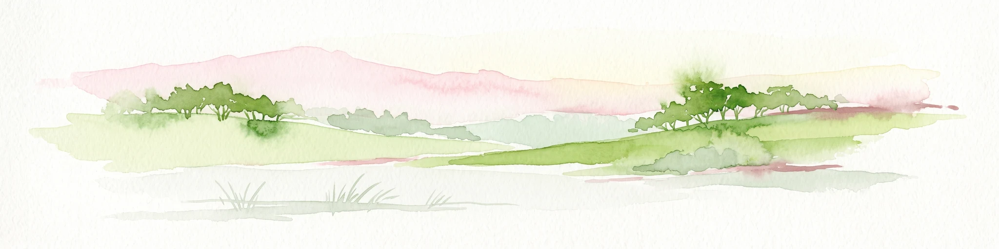
A watercolor painting showing a serene landscape with calm water, small islands of trees, and rolling hills in the background.
Nature reserveBremen
About 33 km away#18 closest

West

Am Stadtwaldsee (Uni-Wildnis) Nature Reserve: Geographic Atlas and Park Map Context

Protected secondary habitat landscape in Bremen, Germany

Located in Bremen, the Am Stadtwaldsee (Uni-Wildnis) nature reserve offers a compelling study of secondary ecological succession. The area features a dense concentration of ponds and wooded ground shaped by historical sand mining. Explore the mapped boundaries of this eleven-hectare refuge to understand its role in urban biodiversity and regional landscape conservation.

Area
0.114 km²
Established
1991
IUCN
IV
Nature reserveBremen
About 34 km away#19 closest

Southwest

Vogelschutzgebiet Arsten-Habenhausen: Mapping the Protected Weser Floodplain Habitat

A historic urban nature reserve located in Bremen

Located in the Habenhausen district of Bremen, Vogelschutzgebiet Arsten-Habenhausen is a significant protected area focused on river floodplain maintenance. The site provides a concentrated view of floodplain woodland and reedbed vegetation, illustrating how small, long-established nature reserves contribute to the regional geography of the Weser river corridor in Germany.

Area
0.01 km²
Established
1950
IUCN
IV
Relief
Lowland
Nature reserveLandkreis Stade
About 35 km away#20 closest

Northeast

Steinbeckforst Nature Reserve: Geography and Protected Area Context in Landkreis Stade

Ancient beech forests and lowland brook valley landscapes.

Steinbeckforst serves as a critical nature reserve in Lower Saxony, characterized by century-old beech stands and sandy ground moraine topography. This geographic profile examines how the forest and Steinbeck brook valley function as a protected habitat corridor within the wider district of Stade.

Area
0.7 km²
Established
2018
IUCN
IV
Distance methodology

Geographic measurements, not driving distances

How nearby park distances are calculated

Distances use park boundaries whenever the available geometry allows it. When one or both boundaries are missing, the mapped park locations provide a clearly labelled estimate. Every value represents straight-line geographic separation and does not use roads or routing.

Boundary distance

Calculated between the nearest points of both park boundaries.

Location-to-boundary estimate

Estimated from one mapped park location to the nearest boundary of the other park.

Mapped-location estimate

Estimated between the mapped locations of both parks.

MoriAtlas Explorer

Examine the Protected Landscapes of Westliches Borchelsmoor in Germany

Gain a deeper understanding of the Westliches Borchelsmoor nature reserve and its status as a critical bog habitat. Access the detailed MoriAtlas data on its regional geography, mapped boundaries, and environmental significance within Landkreis Rotenburg.