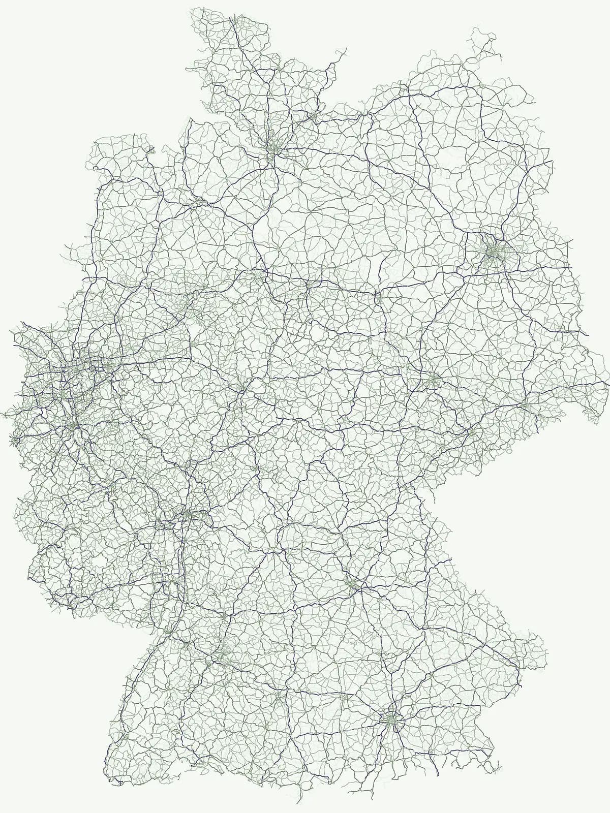
Discover the geographic spread of conservation areas dedicated to preserving sensitive natural landscapes.
Nature Reserves in Germany: A Comprehensive Atlas of Protected Ecosystems and Habitats
Germany maintains an extensive network of nature reserves designed to secure vital habitats and protect vulnerable species. These conservation areas form an essential component of the national landscape, ranging from floodplain forests to wet meadows. This atlas provides a curated route to browse these protected terrains and understand their role in maintaining regional biodiversity and environmental integrity.
Protected ecosystems, fragile wetlands, and critical habitat zones across federal states
Exploring Every Designated Nature Reserve in Germany for Biodiversity Conservation
Each nature reserve in Germany protects sensitive ecosystems, rare wildlife habitats, and specialized botanical zones under strict conservation standards. These regional reserves form an essential network for biodiversity preservation, offering detailed geographic insight into protected landscapes.
Nature Reserve Protected Areas in Germany: Filtered Park List
Browse registered nature reserves across Germany, featuring specialized protected areas, beech forests, and sensitive wetland habitats. Systematic filtering reveals regional conservation patterns and ecosystem distribution throughout national territories.
Nature reserveGermany
Wurmtal
Protected riparian habitat in North Rhine-Westphalia
Wurmtal protects a diverse river corridor characterized by free-meandering stretches, soft-wood floodplain forests, and distinct industrial-heritage landmarks. This atlas entry provides insight into the valley's structural geography, including its steep erosion cliffs, gravel-bed river dynamics, and role as a significant ecological migration route within the regional landscape.
Hohe Acht reaches 746 meters in the Hocheifel, marking the highest point in the entire Eifel mountain region. As a protected nature reserve, the mountain features an eroded volcanic basalt neck surrounded by dense mixed woodland. Its elevation and prominent position above the surrounding ridges create a distinct focal point in the regional geography of Rhineland-Palatinate, providing a unique look at ancient volcanic history.
A cross-border nature reserve in the Bavarian Alps.
Nagelfluhkette Nature Park is defined by its dramatic vertical transitions and unique Nagelfluh conglomerate geology. This protected area connects valley wetlands like the Großer Alpsee with steep mountain summits along the Hochgrat ridge. The region serves as an essential example of integrated conservation, linking forests, high-altitude moorlands, and traditional alpine agricultural landscapes across the Bavarian and Vorarlberg border.
A study of basaltic twin cones and protected regional wilderness
Hochsimmer is a well-defined volcanic cinder cone near the Mayen-Koblenz district, characterized by its twin-peak profile and expansive woodland canopy. This protected nature reserve anchors the local topography where the volcanic Eifel meets the Middle Rhine basin, offering an essential reference for understanding the geological and ecological structure of the Rhineland-Palatinate high country.
Shallow glacial lake basins and floodplain ecology in the Westhavelland.
Gülper See is an ecologically significant nature reserve in Brandenburg, Germany, representing a rare, open lowland landscape defined by shallow glacial water, extensive reed belts, and seasonal wet meadows. As part of the Westhavelland, the site offers unique insight into the hydrological heritage of the Havel floodplain, serving as a primary sanctuary for migratory geese and common cranes within an exposed, forest-free terrain.
Highland basalt summit of the Westerwald range in Rhineland-Palatinate
Fuchskaute represents a primary geographic landmark and nature reserve in the Hoher Westerwald. The site features an ancient, erosion-resistant basalt cap that supports rare upland heaths and species-rich meadows, distinct from the surrounding Devonian sediments. Our atlas data tracks its complex overlapping conservation status and provides a clear view of its summit plateau and surrounding hydrographic networks.
Exploration of protected mountain terrain and volcanic geology
Geisingberg serves as a rare volcanic Quellkuppe rising above the Saxon mining landscapes of Altenberg. The nature reserve protects 300 hectares of high-altitude bogs, species-rich meadows, and historic forest clearings. Gain a deeper understanding of this mountain through detailed mapped terrain, topographic features, and long-standing protected-area status within the Ore Mountains.
The Rotes Moor nature reserve is a centerpiece of the Rhön range, showcasing a complex highland bog that has undergone decades of systematic rewetting and ecological restoration. This protected landscape contains a rare mosaic of peat moss, floating mire surfaces, and birch woodlands, all framed by the dramatic volcanic basalt summits of the Hohe Rhön.
Historic reservoir systems, wetland habitats, and upland plateau terrain
Westerwälder Seen is a sprawling nature reserve defined by its system of seven interconnected, man-made ponds and surrounding wetland fringes. Located in the heart of the Westerwald in Rhineland-Palatinate, this site serves as a prime example of historical land management evolving into a vital ecological refuge for waterbirds, amphibians, and diverse brook forest communities.
Ancient oxbow meander and vital inner-city wetland landscape.
Worringer Bruch stands as one of the best-preserved, silted-up oxbow meanders along the Lower Rhine. Spanning roughly 164 hectares, this nature reserve integrates floodplain forests, traditional orchards, and marshy meadows into a cohesive wetland mosaic. Serving as a low-lying ecological refuge near Cologne, the area remains deeply connected to the groundwater dynamics of the historic Rhine river corridor.
More designation routesExplore national parks, protected landscapes, and regional conservation categories.5
Compare Other Protected Area Designations Across Germany
Compare adjacent conservation categories within Germany to understand the wider protected area system beyond nature reserves. Evaluating alternative designation types reveals how different regional frameworks shape habitat management and ecological preservation.
Regional landscape atlas for Germany
Protected landscape
15%
Navigate 186 protected landscapes across Germany, focusing on areas where conservation integrates scenic beauty with historic land use. This resource provides a geographic overview of regional parks, river valleys, and managed agricultural zones that define the nation's broader conservation landscape.
Explore conservation sites across the German landscape
Protected area
5%
Access a structured atlas of protected areas in Germany, including diverse conservation sites across federal states. This index provides geographic context for wetlands, grasslands, and forest landscapes that form the foundation of national environmental protection.
Mapped protected areas and geographic context for Germany's national parks.
National park
1%
Delve into the atlas of Germany's national parks, each representing a nationally significant protected area with unique geographic features and conservation value. This country-specific index provides insight into the mapped boundaries, regional distribution, and the overall protected landscape identity of these vital natural reserves. Understand how each park contributes to the broader national park network and its role in preserving Germany's natural heritage.
Navigate through Germany's collection of natural monuments, which highlight singular landscape features and rare geological formations. This resource provides a focused look at designated sites of ecological or scientific interest, grounding each location within its regional environment for clear geographic discovery.
Dedicated wildlife habitat and conservation geography
Wildlife reserve
0%
Explore the geographic distribution of wildlife reserves within Germany, focusing on how these protected areas provide essential support for animal populations and habitat stability. Examine regional conservation corridors and the role of these landscapes in maintaining ecological integrity throughout the federal republic.