Mori Atlas logo
Countries

Browse and navigate the mapped protected landscapes and regional geography of Germany.

Germany National Parks and Protected Areas: A Geographic Atlas for Exploration

MoriAtlas provides a structured view of Germany's national parks and protected natural areas, offering a unique geographic lens for exploration. This atlas entry point allows you to discover the mapped boundaries and regional context of Germany's protected lands, fostering a deeper understanding of their distribution and landscape features across the Federal Republic.

Germany National Parks and Protected Areas: A Geographic Atlas for Exploration
About

Explore the Mapped Geography and Protected Landscape Distribution Across Germany

Germany National Parks and Protected Areas: A Comprehensive Atlas Overview
MoriAtlas provides a structured atlas entry point for Germany, showcasing its diverse national parks and protected areas. Navigate the geographic spread of conservation landscapes, understanding their regional distribution and ecological significance within the Federal Republic. This country-level view serves as a foundation for discovering the breadth of Germany's protected terrain.

Germany is a federal republic in Western and Central Europe with a population of over 83 million across sixteen constituent states. It is Europe's largest economy by nominal GDP and a major global exporter and importer. The capital is Berlin, and the country borders Denmark, Poland, Czech Republic, Austria, Switzerland, France, Luxembourg, Belgium, and the Netherlands.

Germany, officially the Federal Republic of Germany, is a developed country and major global power in Western and Central Europe. It is the most populous member state of the European Union with over 82 million residents according to the 2022 census. Germany has a strong industrial economy and is a leader in scientific and technological sectors. The nation is bordered by nine countries and has coastlines on both the Baltic and North Seas, with the Alps in the southern region. The capital and largest city is Berlin.

Largest city:Berlin
Currency code:EUR
ISO code:DE
Parks count
17
Capital
Berlin
Area
357,022 km²
Population
83,491,249 (2,025)

Coastal
Island
Mountainous
Landlocked
Park atlas17 parks

Explore the mapped protected landscapes and conservation areas across Germany's diverse terrain

National Parks and Protected Areas in Germany: A Comprehensive Geographic Atlas
Navigate through a detailed atlas of Germany's national parks and significant protected areas. This geography-first resource allows for structured discovery of conservation landscapes, from coastal wetlands to mountainous terrains. Understand the scope of Germany's natural heritage and plan your exploration of its protected areas through this dedicated country view.
Watercolor painting showing a landscape with green hills, trees, and a river winding through the scene
National park

Saxon Switzerland National Park: Protected Area Geography and Map Exploration

Discover its mapped boundaries and regional landscape context.

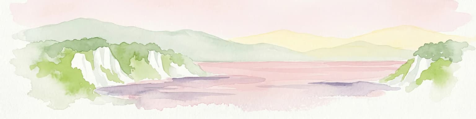
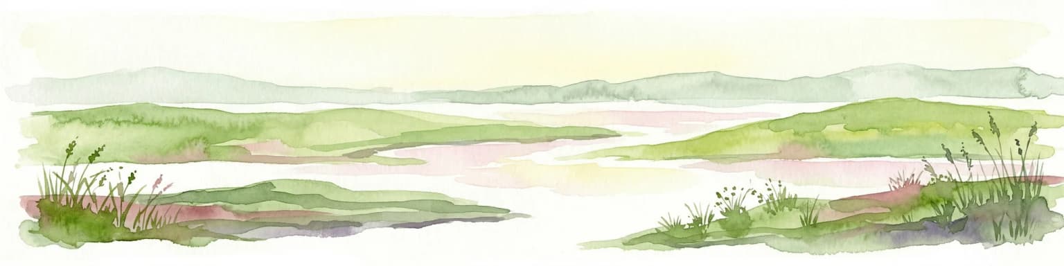
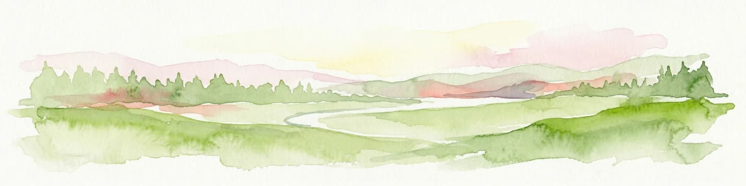
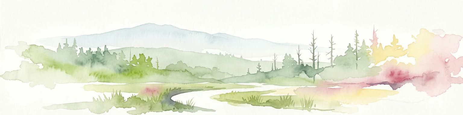
Saxon Switzerland National Park, a protected national park in Germany, offers a distinct focus for geographic and atlas-based discovery. This page details the park's specific protected landscape, its mapped boundaries, and its contribution to the regional geography. MoriAtlas allows for in-depth exploration of such natural areas, providing essential context for understanding their place within broader natural systems and mapped terrains.

Area
93.5 km²
Established
1990
IUCN
II
Visitors
1.7M annual
Watercolor illustration showing mountain ranges, forests, and a river under a light sky.
National parkBavaria

Berchtesgaden National Park: Protected Landscape and Regional Geographic Context in Bavaria

Mapped natural terrain and protected area exploration.

Berchtesgaden National Park represents a crucial protected landscape situated in Bavaria, Germany. This entry provides detailed information focused on its protected area status, unique geographic setting, and mapped natural terrain. It serves as a gateway to understanding the park's specific identity within the regional atlas of Germany, offering insights into its boundaries and its significance as a curated natural landscape for discovery.

Area
210 km²
Established
1978
IUCN
II
Relief
Mountain
National parkBaden-Württemberg

Black Forest National Park: Baden-Württemberg National Park Geography and Mapped Protected Areas

Explore the mapped boundaries and landscape context of this protected area.

Black Forest National Park serves as a focal point for understanding protected landscapes in Baden-Württemberg. This detailed view highlights its specific geographic identity, mapped boundaries, and its position within the regional atlas. Examine the natural terrain and conservation context that define this important national park.

Area
100.62 km²
Established
2014
IUCN
II
Relief
Mountain
Watercolor painting showing mountains, forests, and valleys in a landscape.
National park

Bavarian Forest National Park: Protected Landscape and Regional Geography Atlas

Explore mapped terrain and protected park boundaries in Germany.

Dive into the specifics of Bavarian Forest National Park, a key protected area noted for its distinct landscape and geographic importance. This MoriAtlas entry details the park's mapped boundaries and its setting within the surrounding regional geography, offering a clear atlas-style view of its natural terrain. Understand its identity as a national park and discover its place in Germany's protected lands.

Area
242.45 km²
Established
1970
IUCN
II
Visitors
1.3M annual
National parkLower Saxony

Lower Saxon Wadden Sea National Park: Protected Coastal Landscape & Geography Atlas

Explore mapped boundaries, intertidal zones, and Lower Saxony's natural terrain.

Delve into the Lower Saxon Wadden Sea National Park, a significant national park situated in Lower Saxony, Germany. This page serves as your atlas entry point for understanding its protected landscape, characterized by vast mudflats, salt marshes, and a crucial role as a migratory bird corridor. Discover the geographic context of this UNESCO World Heritage site and its unique intertidal ecosystem through structured map data and detailed landscape information.

Area
345.8 km²
Established
1986
IUCN
II
Relief
Lowland
Watercolor painting showing chalk cliffs along a coastline with calm water and distant hills
National parkMecklenburg-Vorpommern

Jasmund National Park: Germany's Coastal Chalk Cliffs and Primeval Forest Landscape

Explore the protected geography of Mecklenburg-Vorpommern's Rügen island.

Jasmund National Park showcases one of Northern Europe's most dramatic natural formations, defined by its striking white chalk cliffs plunging into the Baltic Sea and its UNESCO-recognized primeval beech forests. This protected area offers a profound look into geological heritage and undisturbed forest ecosystems. Navigate its mapped boundaries and understand its unique landscape context within the Mecklenburg-Vorpommern region through detailed atlas exploration on MoriAtlas.

Area
30 km²
Established
1990
IUCN
II
Visitors
300K annual
Watercolor illustration of a landscape with green hills, a body of water, and grassy foregrounds
National parkSchleswig-Holstein

Schleswig-Holstein Wadden Sea National Park: Germany's Largest Protected Tidal Landscape

Explore the mapped geography of this vital North Sea national park.

Schleswig-Holstein Wadden Sea National Park is a monumental protected area, recognized globally as a UNESCO World Heritage Site for its extraordinary tidal wetland ecosystem. This page offers detailed insights into its geographic scope, from the North Frisian Islands to the Elbe estuary, highlighting the dynamic interplay of mudflats, salt marshes, and coastal terrain. Discover the park's critical role as a migratory bird flyway and marine nursery, providing rich data for geographic and atlas exploration of this unique North Sea protected landscape.

Area
4,410 km²
Established
1985
Watercolor illustration of a landscape featuring green fields, trees, a river, and distant hills under a pale sky
National parkThuringia

Hainich National Park: Protected Landscape in Thuringia's Regional Geography

Mapped protected area boundaries and geographic context.

Hainich National Park stands as a protected national park, offering a detailed study in landscape and geography. This entry focuses on its specific mapped boundaries and its placement within the Thuringia region, providing users with clear geographic context. Discover the natural terrain and protected status of Hainich National Park, essential for understanding Germany's mapped conservation areas.

Area
75 km²
Established
1997
Climate
Temperate
Scope
Terrestrial
Watercolor illustration of a mountainous landscape with forests and a winding path
National parkLower Saxony

Harz National Park: A Mapped Protected Landscape in Lower Saxony's Mountains

Explore geographic boundaries and regional terrain.

Harz National Park is a protected area defined by its unique mountain landscape and extensive forests in Lower Saxony, Germany. This MoriAtlas entry details its geographic scope, allowing for exploration of its mapped boundaries and its place within the regional geography. Understand the terrain, from its highest peaks to its alpine bogs, offering a structured view of this significant protected landscape for atlas-based discovery.

Area
247 km²
Established
2006
IUCN
II
Visitors
4M annual
Watercolor painting of a landscape with a lake, trees, and distant hills
National parkMecklenburg-Vorpommern

Müritz National Park: Explore Protected Beech Forests and Glacial Lakelands in Mecklenburg-Vorpommern

Germany's largest national park: mapped boundaries and terrain.

Müritz National Park represents a significant protected landscape within northeastern Germany's Mecklenburg-Vorpommern region. Its expansive territory encompasses not only Germany's largest lake, Müritz, but also substantial tracts of ancient beech forests awarded UNESCO World Heritage status. Users can explore the park's glacial terrain, its intricate network of lakes and wetlands, and understand its position within the regional geography, making it a key destination for structured atlas-based discovery of German protected areas.

Area
318 km²
Established
1990
IUCN
II
Watercolor illustration of rolling green hills and meadows with patches of pink and yellow flowers
National parkNorth Rhine-Westphalia

Eifel National Park: North Rhine-Westphalia Protected Area Atlas

Explore mapped boundaries and regional geography.

Gain a structured understanding of Eifel National Park, a key protected area within Germany's North Rhine-Westphalia region. This page focuses on its geographic identity, detailing mapped boundaries and offering context within the state's broader natural landscapes. MoriAtlas enhances your exploration by presenting Eifel National Park as a distinct entity within a larger geographic framework, ideal for atlas-based research and understanding protected land distribution.

Area
107 km²
Established
2004
IUCN
II
Relief
Upland
National parkHamburg

Hamburg Wadden Sea National Park: North Sea Tidal Landscape and Protected Area

Explore the mapped geography of this unique coastal national park.

Hamburg Wadden Sea National Park, a vital part of the UNESCO-listed Wadden Sea, showcases a unique dynamic landscape of intertidal mudflats, sandbars, and dune islands. This protected national park provides critical habitat for numerous bird species and marine mammals, offering an unparalleled opportunity to study tidal ecosystem dynamics and coastal geography through detailed mapping and atlas exploration.

Area
137.5 km²
Established
1990
IUCN
II
Landscape and environment

Understand how Germany is shaped by terrain, ecosystems, and seasonal conditions

Germany geography, nature, climate, and landscape context for park-focused travel research
Explore the physical geography, natural setting, and climate patterns of Germany through a location-first overview built for travel research, national park discovery, and broader regional context. This section helps explain how landscapes, habitats, and environmental conditions shape what people search for, where they travel, and how they experience protected areas in Germany.

Germany geography and landscape

Germany is located in Western and Central Europe, spanning 357,022 km². It borders Denmark to the north, Poland and the Czech Republic to the east, Austria and Switzerland to the south, and France, Luxembourg, Belgium, and the Netherlands to the west. The country has coastlines on the Baltic Sea and North Sea to the north, with the Alps located in the southern region.

Explore this place

Related topics and popular queries

Ways to explore Germany
Useful phrases, related topics, and discovery prompts connected to Germany.
germany country informationpopulation of germanygermany location and geographygermany economy overviewgermany capital berlingermany neighboring countriesgermany climate and weatherfederal republic of germanygermany countrygermany populationgermany economygermany geographygermany european uniongermany borders
Park map

Visualize the Geographic Distribution of Germany's National Parks and Protected Landscapes

Germany National Parks Map: Explore Protected Areas and Park Locations Across German Geography
Browse a geographic overview of Germany's national parks and other significant protected areas, understanding their spatial arrangement across diverse German terrain. This interactive map preview serves as a crucial atlas entry point, enabling detailed exploration of Germany's conservation landscapes and regional park contexts.

Common questions about Germany's national park geography and protected area distribution.

Frequently Asked Questions About National Parks in Germany: Understanding Protected Landscapes
Gain answers to common questions regarding Germany's national parks, their geographic distribution, and the broader context of protected natural areas. Discover foundational knowledge about specific park types, conservation efforts, and regional park significance across the diverse German landscape.
Other countries

Discover and compare protected landscapes, mapped terrain, and national park systems across Central and Western European nations.

Explore National Parks and Protected Areas Across Europe, Beyond Germany's Borders
Browse an extensive atlas of national parks and protected areas situated in countries bordering Germany and throughout the wider European continent. This broader country-level view facilitates comparative geographic exploration and deeper understanding of conservation landscapes across diverse European territories.

Explore Netherlands National Parks and Protected Areas with the MoriAtlas Geographic Navigator

Navigate the rich tapestry of Netherlands' protected natural areas and national parks using a geography-first approach. This platform provides an atlas view of mapped landscapes, enabling detailed exploration of park boundaries and their regional significance. Understand the distribution and context of conservation lands within the Netherlands, offering a structured foundation for geographic discovery and analysis of natural terrains.

25 parks

Explore National Parks and Protected Areas Across Poland's Geography

Delve into the structured geography of Poland's protected natural areas. This atlas view highlights the distribution of national parks and other significant protected lands, offering insights into their regional context. Use this entry point to navigate and understand the geographic scope of conservation landscapes across Poland, from its diverse terrains to its mapped natural features.

25 parks

Slovakia National Parks and Protected Areas: Mapped Geographic Exploration

Delve into the structured atlas of Slovakia's national parks and protected areas. This page offers a geographically organized perspective, highlighting the distribution of protected lands and natural landscapes across the country. Understand the regional context and mapped boundaries of Slovakia's significant natural territories, providing a foundation for detailed geographic discovery and comparative exploration.

10 parks

Belgium National Parks and Protected Areas: An Atlas of Mapped Natural Landscapes

Delve into the structured geography of Belgium's protected natural areas with MoriAtlas. This country-level atlas entry point reveals the mapped distribution of national parks and other protected lands, providing essential geographic context. Understand the landscape patterns and navigate through Belgium's conservation areas, enabling a deeper appreciation of its natural terrain and protected regions.

7 parks

Austria National Parks and Protected Areas: Geographic Atlas and Landscape Exploration

Navigate Austria's protected natural areas with a focus on geographic discovery. This atlas view highlights the distribution of national parks and significant protected landscapes, offering insights into regional terrain and mapped park boundaries for structured exploration.

6 parks

Czechia National Parks and Protected Areas: Mapped Landscapes and Geographic Context

MoriAtlas presents a structured atlas view for discovering national parks and protected areas within Czechia. Examine the geographic spread and mapped boundaries of these significant natural landscapes. This resource aids in understanding the country's protected land distribution and regional geographic context, moving beyond simple listings to a deeper, map-aware exploration of Czechia's natural heritage.

5 parks

Denmark National Parks and Protected Landscapes: A Geographic Atlas Overview

This atlas entry for Denmark allows for the exploration of its national parks and protected areas, focusing on their geographic distribution and mapped boundaries. Understand the context of these protected lands within the broader landscape of Denmark, facilitating structured discovery of natural terrain and conservation areas through an intuitive, map-aware interface.

2 parks

Explore Slovenia's National Parks and Protected Areas: A Geographic Overview

This entry point to Slovenia's protected natural areas allows for structured geographic exploration. Understand the placement and scope of national parks and other designated lands across the country, using MoriAtlas to visualize their mapped boundaries and regional context. It serves as a comprehensive atlas for discovering Slovenia's diverse natural terrain and conservation efforts.

2 parks
MoriAtlas Explorer

Continue Your Global Geographic Exploration with MoriAtlas Park Discovery

Dive deeper into the world's protected landscapes and national parks through MoriAtlas's structured atlas interface. Discover how continents and countries are organized, and how individual park geography fits into the broader map. Our platform is built for understanding the distribution and context of protected areas worldwide, facilitating your journey through global natural geography.

Global natural geography