Czech Republic: parks and protected areas
Parks and protected areas in Czech Republic, including NP Šumava and KRNAP.
259 parks

Trace the spatial distribution and geographic context of Hungary's mapped protected lands.
Locate parks and protected areas in Hungary, then select a park to open its profile.
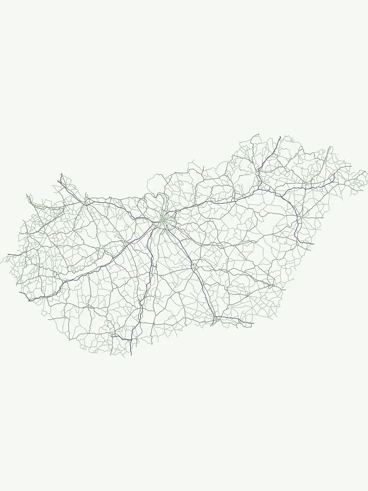
Spatial park locations and protected-landscape geography
Interactive map of parks and protected areas in Hungary.
Explore matching national parks through clustered map points and detailed park profiles.
Compare the Mapped Geography and Protected Landscapes of Central Europe and the Carpathian Basin
Parks and protected areas in Czech Republic, including NP Šumava and KRNAP.
Parks and protected areas in Romania, including Danube Delta and Retezat.
Parks and protected areas in Austria, including Neusiedler See and Hohe Tauern.
Parks and protected areas in Serbia, including Đerdap and Tara.
Parks and protected areas in Croatia, including Plitvice Lakes and Paklenica.
Parks and protected areas in Slovakia, including TANAP and Poloniny.
Parks and protected areas in Slovenia, including TNP and Škocjan Caves.
Parks and protected areas in Bosnia and Herzegovina, including Sutjeska and Una.
Open the park list for Hungary to explore locations and park characteristics.