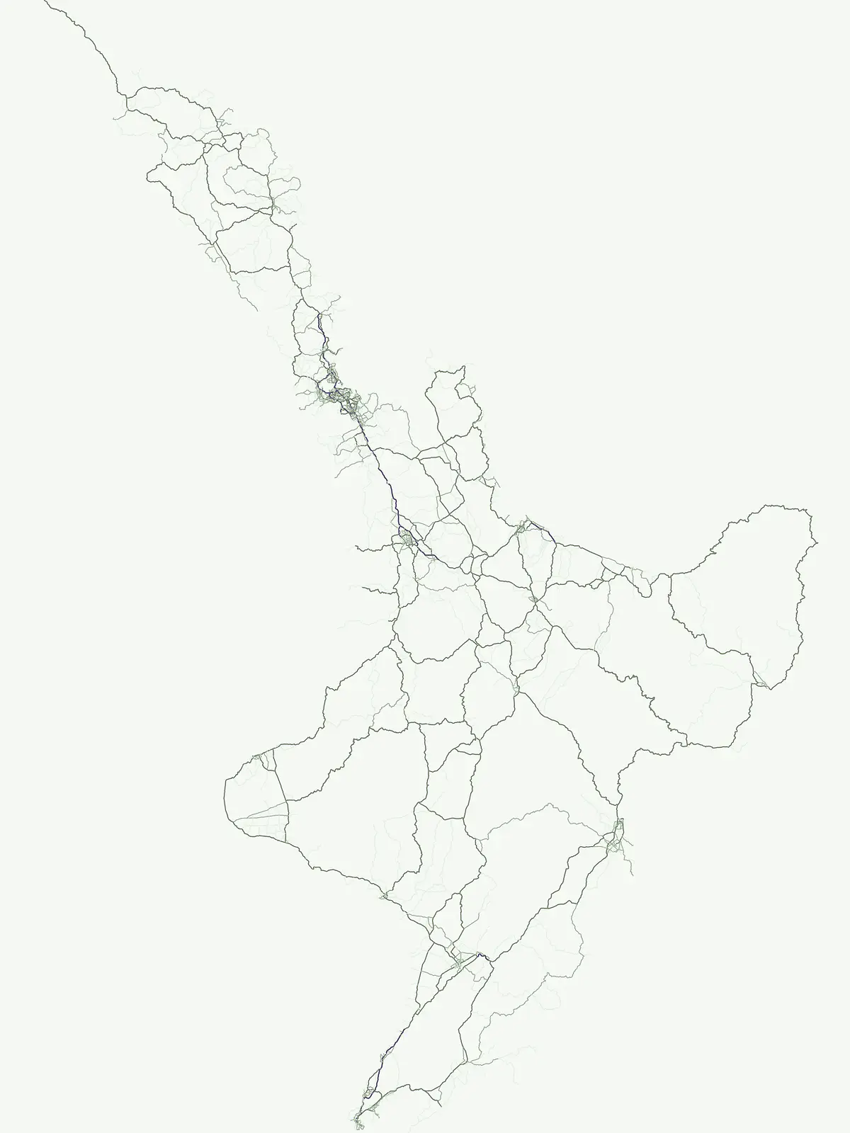
Map-based exploration of protected habitats and sensitive ecosystems within the national landscape
Nature Reserves and Protected Biodiversity Conservation Areas Across New Zealand
New Zealand maintains a network of nature reserves specifically dedicated to the long-term conservation of sensitive species, native forests, and distinct island habitats. This atlas highlights 24 significant protected areas that function as sanctuaries for biodiversity across the North and South Islands. Each location provides critical geographic context for understanding how these reserves complement the broader national system of protected lands.
Essential wildlife sanctuaries and strict ecological refuges across isolated island geography
Nature Reserve Protected Areas in New Zealand
Strict nature reserves in New Zealand preserve vulnerable island ecosystems, sensitive seabird breeding grounds, and pristine native forest habitats. Exploring these protected landscapes reveals specialized conservation zones dedicated entirely to native species preservation and ecological recovery.
New Zealand Nature Reserve Protected Areas and Island Sanctuaries
Explore specialized nature reserve locations across New Zealand to analyze strict habitat preservation and island sanctuaries. Review regional distribution patterns for vulnerable seabird breeding grounds and protected forest ecosystems.
Nature reserveNew ZealandMarineMountain
Auckland Islands
An uninhabited island wilderness and nature reserve in southern New Zealand.
Auckland Islands, in New Zealand. Landscapes: mountains, cliffs, and forests.
Charting the protected ecological boundaries and humid temperate geography
Waipoua Forest represents a vital protected landscape in Northland, New Zealand, characterized by deep, rain-fed valleys and towering kauri stands. This nature reserve sustains one of the largest clusters of old-growth trees in the country, maintaining a dense, multi-layered forest structure that stands in sharp contrast to the modified land on its margins. The sanctuary remains a primary reference point for understanding the wet, hilly terrain of the North Island west coast.
A remote New Zealand volcanic arc and marine protected area.
The Kermadec Islands comprise an isolated chain of volcanic landforms stretching along a submarine ridge in the South Pacific. This nature reserve protects unique subtropical moist forests, diverse seabird colonies, and complex hydrothermal vent communities, serving as a critical area for ongoing ecological restoration and marine science.
Coastal terrain and island geography in New Zealand
Located off the coast of Stewart Island, Codfish Island / Whenua Hou functions as an essential nature reserve. The island features moderate terrain, temperate coastal forests, and a protected landscape that preserves rare species and seabird colonies. Its geography is defined by a remote maritime setting, making it a globally significant site for predator-free wildlife conservation in the Tasman Sea.
Remote volcanic archipelago and protected nature reserve.
The Three Kings Islands represent a significant protected landscape northwest of New Zealand, known for dramatic volcanic cliffs and profound biological endemism. This nature reserve encompasses 13 uninhabited islands rising from deep ocean waters, offering a unique opportunity to study isolated island geography, marine-focused ecosystems, and the cultural significance of the Manawatāwhi archipelago.
A coastal island group off the Coromandel Peninsula, New Zealand
The Mercury Islands form a structured volcanic chain characterized by dramatic cliffs, sheltered coves, and critical pest-free ecosystems. This protected area holds international significance for its seabird colonies and the well-preserved archaeological sites associated with early Māori history across the islands.
A rugged island chain offshore from New Zealand's Northland Region.
The Poor Knights Islands serve as an essential protected landscape characterized by sheer volcanic cliffs, natural arches, and extensive sea cave systems. Rising sharply from the sea, these uninhabited islands function as a vital sanctuary for seabirds and native flora, providing a unique look into the deeply eroded remnants of ancient rhyolitic volcanic activity within New Zealand.
Archipelago sanctuary and volcanic landscape offshore of New Zealand
Explore the geographic structure of the Hen and Chicken Islands, an uninhabited nature reserve that serves as a vital predator-free sanctuary. The archipelago displays varied volcanic terrain, from the dramatic central ridge of Hen Island to the rugged rocky reefs of the Marotiri islets, offering a clear window into the ecological conservation landscapes of the Northland region.
Maritime sanctuary and ecological refuge in Marlborough Region
Stephens Island (New Zealand) acts as a rugged, compact island refuge in the Cook Strait, defined by steep terrain rising to 283 metres. As a critical nature reserve managed by Ngāti Koata and the Department of Conservation, this site offers profound insights into isolated island ecosystems, evolutionary endemic species, and the geological processes of the Maitai Group.
Remote island sanctuary in the Chatham Islands archipelago
Rangatira Island is a protected nature reserve located in the remote Chatham Islands of New Zealand. Defined by its rugged coastal cliffs, maritime shrublands, and role as a stronghold for endemic species, this island offers a window into isolated Pacific island ecology and protected land boundaries.
More designation routesExplore marine reserves, national parks, and regional conservation categories across New Zealand.6
Compare Other Protected Area Designations in New Zealand
Compare nature reserves with national parks, marine protected areas, and regional reserves across New Zealand. Evaluating adjacent protected categories reveals the full structural scope of regional conservation landscapes.
Mapped aquatic ecosystems and marine reserves
Marine protected area
22%
Examine the geographic distribution of marine protected areas across the New Zealand archipelago. These designated zones encompass critical coastal features, including fiords, rocky shores, and island habitats, providing a clear window into the nation's marine conservation landscape.
Discover the country's national park system and mapped protected areas.
National park
15%
Delve into the specifics of New Zealand's national parks, a key designation for landscape conservation and biodiversity. This resource provides a clear view of each park's geographical placement and role within the nation's protected area strategy. Use this to browse and understand the distribution of these significant natural landscapes across the islands.
Browse the collection of regional parks in New Zealand to understand their role in local landscape protection. Our atlas data helps you visualize these protected areas, offering a clear perspective on how they function as distinct geographic and natural units within the broader national terrain.
Mapped protected areas and stewardship territories
Protected landscape
11%
Discover ten notable protected landscapes throughout New Zealand. This index examines how these territories balance ecological health with scenic character, providing a comprehensive look at land-scale conservation and regional geography across the North and South Islands.
Regional mapping of essential animal habitat reserves.
Wildlife reserve
7%
Browse the geographic distribution of wildlife reserves within New Zealand. This collection focuses on protected areas that prioritize habitat continuity and the restoration of native animal populations, offering a clear view of the regions where critical conservation efforts are currently concentrated.
Geographic discovery of conserved lands and natural reserves
Protected area
6%
Identify and map protected area sites located throughout New Zealand. This resource offers a structured look at conservation lands, helping users connect with the geography of sites that play a vital role in regional land protection and natural habitat preservation across the islands.