Mori Atlas logo
Island landscapes852 represented parks108 countries

Analyzing the geological processes and ecological connectivity of isolated coastal and inland landmasses.

Islands in National Parks and Protected Landscapes: Mapping Physical Geography and Landforms

Islands serve as defining features within diverse protected landscapes, shaping scenery, water movement, and seasonal environmental change. This resource maps the physical geography of these landforms, ranging from isolated oceanic outposts to interior lake archipelagos. By examining how tectonic, glacial, and erosional forces create these habitats, users can better interpret the integrated processes sustaining protected areas worldwide.

Related tags

island parksisland parksprotected landscapesphysical geography
Physical landscape profile

Reading discrete landforms and enclosed coastlines helps clarify wider protected-area systems.

Islands in national parks and protected landscapes: Character, terrain, and distinct geography

Protected islands are discrete land masses defined by enclosed coastlines, cliffs, beaches, interior uplands, and surrounding marine shelves. Understanding such physical relationships helps geographers trace transitions between marine and terrestrial zones, showing how physical structures shape wind exposure, drainage, and landscape continuity.

Definition

Islands describe protected landscapes characterized by discrete land masses, enclosed coastlines, cliffs, beaches, interior uplands, and surrounding marine shelves. The term is used here as a physical-geography feature rather than a legal park designation.

This atlas category is descriptive rather than regulatory: it does not imply a protection class, management standard, or minimum size. Local examples may be known by terms such as archipelagos or oceanic islands, but those names can carry narrower regional meanings. The shared category is useful because it identifies a comparable landscape pattern while leaving room for geological and ecological variation.

Clear boundaries are especially important where islands overlaps with related landforms in the same protected area.
Physical characteristics

Typical characteristics include discrete land masses, enclosed coastlines, cliffs, beaches, interior uplands, and surrounding marine shelves. Their expression depends on geology, climate, elevation, water, and the length of time available for erosion or ecological development.

The most informative characteristics are often relationships rather than isolated dimensions: the feature’s position within a watershed, its orientation to sun and wind, its connection to neighboring habitats, and the contrast between exposed and sheltered surfaces. Mapping these relationships gives a stronger geographic picture than focusing only on the most dramatic viewpoint.

Scale, continuity, relief, material, and relationship to surrounding terrain provide more reliable identification clues than appearance alone.

Landscape character

In parks, islands organize views, movement, drainage, and transitions between habitats. They often provide the clearest visual structure for understanding how the wider protected landscape fits together.

Landscape character is not only visual. Sound, shade, wind exposure, humidity, temperature, water movement, and the sense of enclosure or openness can all follow the physical structure. These qualities change how wildlife uses the area and how people interpret distance and scale within the park.

That character influences viewpoints, route structure, visual identity, and the way a park is represented in maps and photography.

Formation and seasonal character

How volcanic activity, tectonic uplift, and shifting water levels shape dynamic isolated landforms

The geological origin and formation of islands in national parks and protected landscapes

Geological forces like volcanism, tectonic uplift, and glacial erosion continuously build and modify isolated landforms within protected waters. Analyzing physical shaping processes reveals how seasonal storms, changing currents, and water levels constantly reshape the observable terrain of global park examples.
  1. 01

    Formation processes

    Volcanism, tectonic uplift, coral growth, glacial erosion, sedimentation, or rising seas isolate land within water. These processes operate at different rates, so individual park examples may represent both ancient landforms and actively changing terrain.

    Different examples may reach a similar appearance by different routes, so shape alone is not always enough to explain origin. Rock type, tectonic setting, past climate, water supply, and erosion rate determine which processes dominate. Protected areas are especially valuable for interpreting those relationships because connected landforms and relatively intact process zones can remain visible together.

    Recognizing the responsible process also helps distinguish ancient inherited terrain from landforms that remain visibly active today.

  2. 02

    Seasonal character

    Breeding colonies, storms, monsoons, currents, and seasonal resource limits strongly shape island life. Seasonal timing can change water, vegetation, wildlife use, visibility, and physical stability.

    Long-term climate variability sits on top of the annual cycle. A wet year, low-snow winter, severe storm season, drought, or unusual freeze can change erosion, water levels, vegetation, and breeding success. Descriptions should therefore explain typical rhythms without presenting them as fixed schedules.

    Seasonal comparison can reveal hydrological and ecological processes that remain hidden during a single visit or image survey.

  3. 03

    Recognizing the feature in parks

    Visitors experience islands as complete geographic systems where interior habitats connect quickly to every coast. This makes the feature useful for interpreting both scenery and the environmental processes operating across a park.

    Different viewpoints reveal different information. A distant view explains overall form and connection, while a close view shows material, moisture, plants, and active change. Maps, photographs, and ground observations can be combined to avoid reducing the feature to a single scenic angle.

    Interpretation should connect what visitors see with formation, ecological function, and conservation sensitivity while avoiding promises about access or conditions.

  4. 04

    Global park examples

    Representative examples include Galápagos, Komodo, Channel Islands, and Rapa Nui national parks. These examples show different regional expressions rather than defining every form the feature can take.

    Each named protected area represents a regional expression shaped by its own geology, climate, and management history. Linking examples back to park pages can show which associated habitats and landscape features occur together, creating useful internal discovery paths without making unsupported rankings.

    A useful example set should also be revised as park coverage improves, preserving regional balance instead of repeatedly favoring famous destinations.

Ecology and conservation

How isolation, microclimates, and sharp environmental gradients shape unique habitats.

Ecosystems and Ecology of Islands in National Parks and Protected Landscapes

Isolated landforms influence biodiversity by creating varied microclimates where changes in exposure, moisture, and substrate support distinct ecological communities. Effective conservation depends on maintaining land-sea connectivity and biosecurity across diverse marine, coastal, and freshwater distribution networks.

Associated ecosystems

Associated environments commonly include coastal forest, endemic scrub, seabird colonies, reefs, beaches, and freshwater pockets. The feature may contain several habitat types rather than representing a single ecosystem.

Microhabitats can form wherever exposure, moisture, substrate, depth, or disturbance changes over short distances. Crevices, margins, pools, sheltered slopes, bare surfaces, and depositional zones may each support different communities. This internal variety explains why a visually simple landform can have disproportionate ecological importance.

Small changes in exposure, substrate, water retention, or elevation can create neighboring ecological communities within the same feature complex.

Relationship with biodiversity

Isolation promotes endemism and distinctive evolutionary lineages but can leave native communities highly vulnerable. Species use the resulting gradients, refuges, edges, and resource concentrations in different ways.

Edges and gradients are especially important because they allow species to move between feeding, shelter, breeding, and seasonal habitats. Where the feature becomes fragmented or its water and sediment processes are altered, those connections can weaken even if the most visible landform remains intact.

Its biodiversity value therefore depends on ecological function and connectivity, not simply on how dramatic the landform appears.

Conservation significance

Biosecurity, invasive species control, seabird protection, fisheries management, and land-sea connectivity are central. Effective protection therefore depends on maintaining the processes and connections that created the landscape, not only its most visible landmarks.

Natural change should not automatically be treated as damage. Erosion, flooding, fire, deposition, collapse, ice movement, and succession may be essential parts of the system, while infrastructure or altered flows can push those processes beyond their natural range. Good conservation distinguishes dynamic behavior from avoidable degradation.

Effective protection must consider the processes and catchments sustaining the feature, including influences that originate outside a park boundary.

Global distribution

Islands occur across oceans, seas, lakes, and river systems from the tropics to polar regions. Their scale and form vary with regional geology, climate, and environmental history.

Distribution reflects where the necessary rock, relief, water, ice, wind, sediment, or biological conditions coincide. Some regions contain extensive connected systems, while others preserve isolated examples with unusual evolutionary or hydrological importance. Park coverage is therefore uneven and should not be interpreted as a measure of the feature’s total global extent.

The resulting pattern reflects both where the feature can form and where sufficiently intact examples have received protected status.

Representative parks

Compare physical geography and isolated landform patterns across diverse global systems

National Parks Featuring Islands in National Parks and Protected Landscapes

Global environments preserve isolated landmasses that host specialized coastal habitats and dynamic shorelines. Comparing individual park profiles helps readers analyze diverse ecological structures and geological origins across varying scales where island terrain may only cover a portion of the protected land.
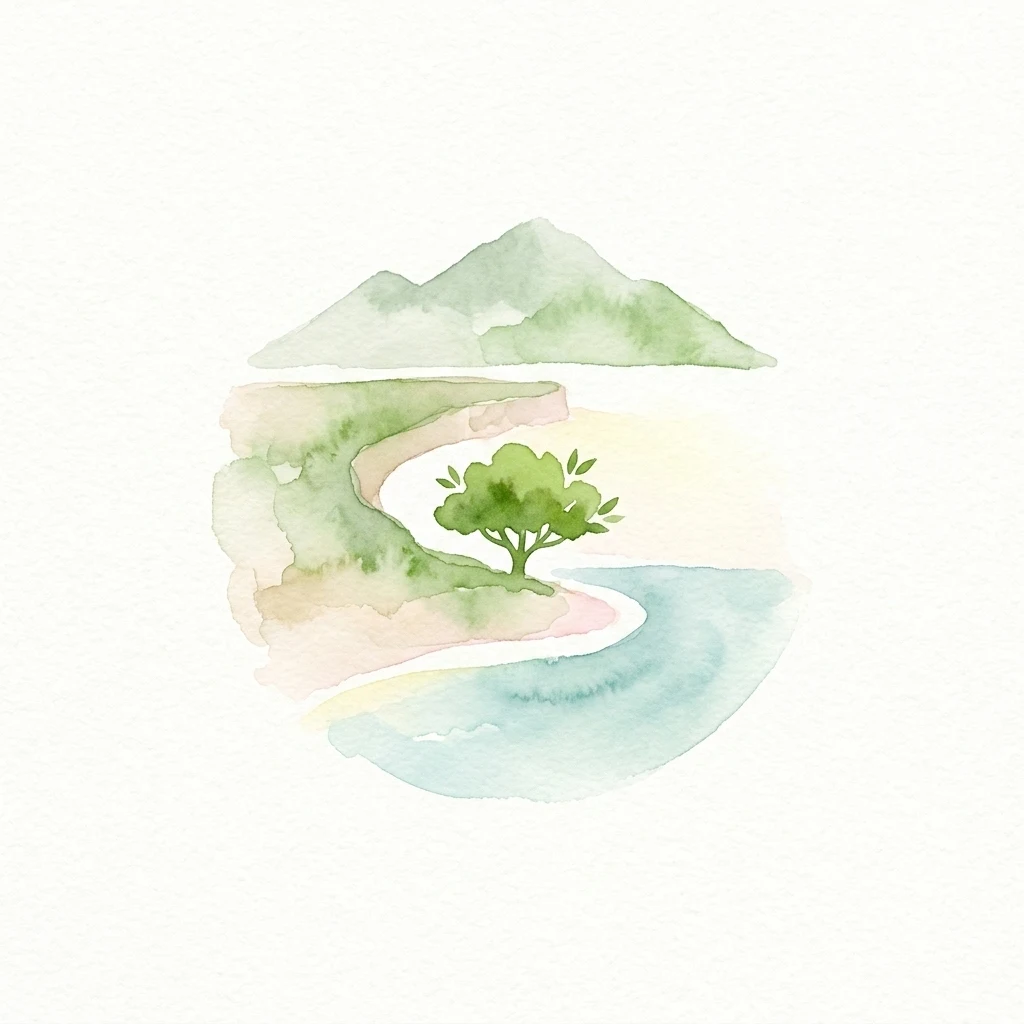
Watercolor illustration showing mountains, a single tree, a curved beach, and a body of water
National parkGalápagos Islands

Galápagos National Park

Explore unique endemic species and mapped landscapes of the Galápagos Islands.

Volcanic islands support distinctive wildlife, including giant tortoises, marine iguanas, and flightless cormorants.

7,995.4 km²1959SubtropicalModerate access
National parkSouthland RegionMarineMountain

Fiordland National Park

Explore its vast boundaries and unique temperate rainforest.

Glacially carved fiords, including Milford Sound, meet alpine peaks and temperate rainforests in New Zealand's Southland region.

12,607 km²1952TemperateModerate access
National parkCaliforniaMarine

Redwood National and State Parks

Explore California's protected area atlas.

Gain a structured understanding of Redwood National and State Parks as a protected national park within the geographic context of California. This dedicated page focuses on its mapped boundaries and protected landscape identity, offering critical atlas-level insights for regional geography exploration and conservation land context. Discover how this protected area fits into the larger mapped terrain.

562.88 km²1968MediterraneanEasy access
National parkEast Nusa TenggaraMarineMountain

Komodo National Park

Mapped boundaries and regional geography for this Indonesian protected area.

Komodo dragons, island landscapes, and coral reefs characterize this protected area in Indonesia's Lesser Sunda Islands.

1,733 km²1980TropicalModerate access
National parkFloridaMarine

Everglades National Park

Explore its unique natural terrain and mapped boundaries.

Sawgrass prairies and mangrove wetlands support wading birds such as roseate spoonbills, great blue herons, and wood storks.

6,106.61 km²1947TropicalEasy access
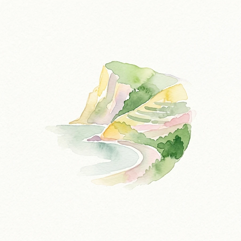
Watercolor illustration of a coastal landscape with cliffs, terraced hills, and a beach
National parkLiguria

Cinque Terre National Park

Explore its regional context in Liguria, Italy.

Cinque Terre National Park, in Liguria, Italy. Landscapes: mountains, coasts, and beaches.

22 km²1999MediterraneanModerate access
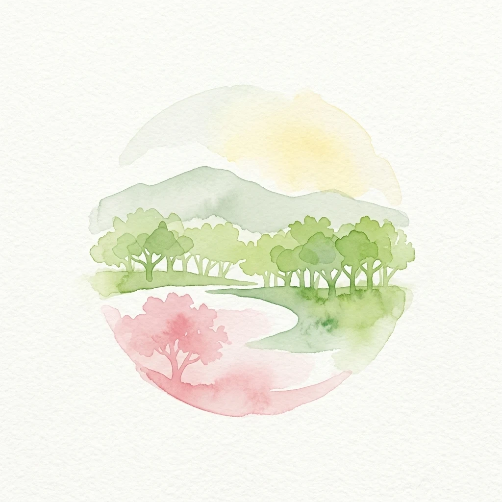
Watercolor illustration of a river flowing through a forested area with mountains in the background and a yellow sun in the sky
National parkWest BengalMarine

Sundarbans National Park

Explore its tidal geography and mapped protected boundaries.

Sundarbans National Park is a vital protected area on the Ganges Delta, recognized globally as the world's largest mangrove forest and a UNESCO World Heritage Site. Located in West Bengal, this national park features a unique estuarine geography characterized by intricate tidal channels and distributaries that define its landscape. Its protected boundaries safeguard a complex ecosystem, offering rich opportunities for atlas-driven exploration of its distinctive natural terrain and coastal wetland significance.

1,330.1 km²1984TropicalModerate access
National parkUnited States of AmericaMarineMountain

Hawaiʻi Volcanoes National Park

Mapped volcanic terrain and regional protected area context.

Hawaiʻi Volcanoes National Park, in United States of America. Landscapes: mountains, forests, and deserts.

1,434.45 km²1916TropicalModerate access
Marine protected areaMexicoMarine

Gulf of California

Mapping protected islands and deep-sea terrain in Mexico

Gulf of California, in Mexico. Landscapes: coasts, beaches, and cliffs.

177,000 km²2005SubtropicalEasy access
National parkAlaskaMarineMountain

Glacier Bay National Park and Preserve

Mapped protected area context within Alaska's natural landscapes.

Glacier Bay National Park and Preserve, in Alaska, United States of America. Landscapes: mountains, glaciers, and forests.

13,045 km²1980SubpolarRemote access
National parkBolívar StateMountain

Canaima National Park

Explore mapped boundaries and natural terrain in Bolívar State.

Canaima National Park, in Bolívar State, Venezuela. Landscapes: plateaus, mountains, and cliffs.

30,000 km²1962TropicalRemote access
National parkJapanMountain

Fuji-Hakone-Izu National Park

Explore volcanic terrain, hot springs, islands, and Mount Fuji's iconic protected boundaries.

Fuji-Hakone-Izu National Park, in Japan. Landscapes: mountains, lakes, and rivers.

1,227 km²1936SubtropicalEasy access
Related environmental topics

How shared geological formations and coastal processes connect neighboring protected terrain

Physical-Geography Comparison of Islands in National Parks and Protected Landscapes

Comparing adjacent landforms helps geographers trace the shared volcanic, tectonic, or erosional processes that isolate landmasses within their aquatic systems. Individual landscape profiles preserve their distinct physical definitions while adding valuable regional context to the wider protected system.

Coasts

Coasts are a defining landscape feature in many protected areas. They shape scenery, ecological conditions, water movement, and the ways park environments change across space and season.

1,389 represented parks

Beaches

Beaches are a defining landscape feature in many protected areas. They shape scenery, ecological conditions, water movement, and the ways park environments change across space and season.

749 represented parks

Reefs

Reefs are a defining landscape feature in many protected areas. They shape scenery, ecological conditions, water movement, and the ways park environments change across space and season.

271 represented parks

MoriAtlas Explorer

Park landscape features

Choose a landscape feature to learn about its formation and find related parks.

Global natural geography