Mori Atlas logo
Park earthquake history

A chronological review of seismic events and epicentre distance records for the protected coastal region.

Recorded Earthquake History and Seismic Data for Acantilados de Maro-Cerro Gordo in Andalusia

The historical earthquake catalogue for Acantilados de Maro-Cerro Gordo provides a structured overview of seismic activity recorded in the vicinity of this coastal nature reserve. These records identify past events by date, magnitude, depth, and distance from the protected cliffs and coves of the Andalusian shoreline. The assembly of this data supports geographic exploration of regional seismic activity patterns without implying direct geological causation or future hazard.

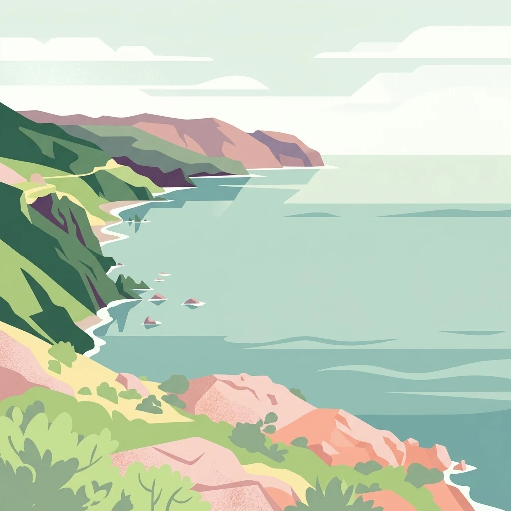
A minimalist, flat-style digital illustration showing rocky coastal cliffs meeting the sea, with green slopes, sandy coves, and distant hills.

Mediterranean cliffs and coves on the Andalusian coast, between Granada and Málaga.

Acantilados de Maro-Cerro Gordo

Acantilados de Maro-Cerro Gordo is a protected coastal landscape (paraje natural) on the southern Mediterranean coast of Spain, where the provinces of Granada and Málaga meet in Andalusia. The protected strip stretches between the municipalities of Almuñécar, in Granada, and Nerja, in Málaga, fronting a series of cliffs and small coves where the coastal foothills of the Sierras de Tejeda, Almijara y Alhama plunge directly into the sea. The defining character of the area is the sharp contrast between steep mountain terrain and a deeply indented shoreline. Cliffs reach dramatic drops toward the Mediterranean, separated by sandy coves such as Las Alberquillas, Cala del Cañuelo, and Cantarriján. Beyond its scenery, the area also carries notable ecological value, supporting Mediterranean plant communities, marine seagrass meadows, and a varied coastal fauna that includes nesting seabirds and reptiles of African origin. The protection of the area reflects both its natural richness and its geographical importance as a transitional stretch of coastline between two Andalusian provinces. It is also classified as a marine ZEPIM (Mediterranean specially protected area of importance for the Mediterranean), underlining its relevance for marine conservation in addition to its terrestrial character.

Location
Spain
Park type
Nature reserve
Established
1989
Area
19.1 km²
Highest point
250 m
Acantilados de Maro-Cerro Gordo Nature Reserve Map

Review dates, magnitudes, depths, and reported locations for Acantilados de Maro-Cerro Gordo

Earthquake catalogue records linked by distance to Acantilados de Maro-Cerro Gordo

The Acantilados de Maro-Cerro Gordo collection organizes historical earthquake records by epicentre location and calculated distance from the protected area, so geographic association remains distinct from cause. Record-level dates, magnitudes, depths, reported places, source access, and park distances allow consistent factual comparison across the catalogue.

Sort by
Magnitude
Location

This page describes catalogued earthquakes associated with the park by epicentre location and distance. It does not establish causation, assess current danger, or predict future earthquakes.

No earthquake records match the current filters

Park atlas

Continue from Acantilados de Maro-Cerro Gordo into wider park discovery

Explore other parks after Acantilados de Maro-Cerro Gordo

The atlas journey continues beyond the Acantilados de Maro-Cerro Gordo earthquake records with a distinct set of other park destinations. Selection is left to the related-park collection, so the section makes no claim about shared geography, geology, earthquake data, designation, or landscape character.
Watercolor painting showing mountains, trees, and fields
National parkAndalusia
35 km away#1 closest

Northeast

Sierra Nevada National Park: Protected Alpine Terrain and Geographic Context in Andalusia

Explore Spain's highest mountain range mapped across Andalusia's atlas.

Sierra Nevada National Park offers a profound exploration of Spain's highest alpine environments and a significant entry in the regional geography atlas. This protected area showcases classic glacial landforms, U-shaped valleys, and numerous high-mountain lakes, alongside a remarkable abundance of endemic plant species thriving in its unique microclimates. Understanding its mapped boundaries reveals a landscape vital for both biodiversity and watershed, situated prominently within the broader geographic context of Andalusia.

Area
858.83 km²
Established
1999
IUCN
II
Relief
Mountain
National parkSpain
93 km away#2 closest

West

Sierra de las Nieves National Park: Ancient Fir Forests and Karst Geography in Andalusia

Mapped protected landscape and unique geologic features

Sierra de las Nieves National Park stands as a remarkable protected area in Andalusia, Spain, celebrated for its world-leading Spanish fir forests and intricate karst topography. This national park showcases significant geological diversity, from towering limestone formations and deep caves to the striking red peridotite mountains of Sierra Bermeja. Its elevation, reaching Pico Torrecilla at 1,919 meters, offers a unique alpine landscape context within southern Europe, mapped for detailed geographic discovery and protected area exploration.

Area
939.3 km²
Established
1989
IUCN
II
Visitors
100K annual
Watercolor illustration showing a landscape with green hills, vegetation, and distant mountains
National parkMorocco
About 171 km away#3 closest

South

Al Hoceima National Park: Morocco's Coastal and Marine Protected Wilderness

Explore dramatic cliffs, kelp forests, and marine biodiversity.

Al Hoceima National Park represents a significant protected coastal and marine area in northern Morocco, distinguished by its rugged 50-kilometer Mediterranean coastline featuring spectacular limestone cliffs. This national park offers an atlas-style view of a landscape transitioning from the Ibaqouyen Rif mountains to the sea, harboring rich marine biodiversity including significant osprey colonies and dolphin habitats. Discover the mapped extent of this wild protected territory and its unique ecological features.

Area
480 km²
Established
2004
IUCN
II
Relief
Mountain
Watercolor painting showing a landscape with green mountains, a river, and trees
National parkMorocco
About 211 km away#4 closest

Southwest

Talassemtane National Park: Morocco's Premier Protected Landscape and Geographic Atlas Entry

Explore its mapped boundaries and natural terrain.

Talassemtane National Park is a vital protected area contributing to the geographic diversity of Morocco. This entry focuses on its identity as a national park, detailing its mapped boundaries and providing context within the broader atlas of protected lands. Discover the specific geographic and landscape characteristics that define this Moroccan national park, offering a unique lens for regional exploration.

Area
589.5 km²
Established
2004
IUCN
II
Relief
Mountain
Watercolor illustration of a river flowing through wetlands with trees and distant hills
National parkHuelva
217 km away#5 closest

West

Doñana National Park National Park: Mapped Geography and Protected Landscape Context

Explore Huelva's key protected area and its regional geographic setting.

Delve into the structured geographic data and mapped boundaries of Doñana National Park. This entry highlights its identity as a national park within the Huelva region, providing essential context for understanding its protected landscape. MoriAtlas offers this detail to facilitate a clear, atlas-driven exploration of its natural terrain and its place in the broader geographic framework of Spain.

Area
543 km²
Established
1969
IUCN
II
Visitors
376.3K annual
Watercolor illustration showing a wetland landscape with grasses, a body of water, and distant hills
National parkSpain
261 km away#6 closest

North

Tablas de Daimiel National Park: Spain's Inland Wetland National Park and Protected Area

Explore mapped boundaries and regional geographic context.

Tablas de Daimiel National Park represents one of the last remaining examples of floodplain wetland systems in Spain's interior. Located in Castilla-La Mancha, this protected area showcases a unique confluence of fresh and brackish waters, supporting a rich mosaic of emergent vegetation and serving as a critical habitat for migratory birds. Use MoriAtlas to explore its precise geographic setting, mapped terrain, and its role as a vital conservation landscape within the Iberian Peninsula.

Area
30.3 km²
Established
1973
IUCN
II
Relief
Lowland
Watercolor painting showing green fields, scattered trees, and distant mountains under a light sky
National parkToledo Province
284 km away#7 closest

North

Cabañeros National Park: Spain's Premier Iberian Oak Woodland Protected Landscape

Mapped Geography of Montes de Toledo Protected Area

Cabañeros National Park is celebrated as the most extensive and well-conserved example of Iberian Mediterranean forest in Spain. Situated within the Montes de Toledo, the park features a remarkable dichotomy between its unique raña flatlands and mountainous sierras, harboring ancient oak woodlands and significant biodiversity. This national park serves as a crucial component of the region's geographic context and a prime destination for atlas-based discovery of protected landscapes.

Area
409 km²
Established
1995
IUCN
II
Visitors
104.6K annual
Biosphere reserveExtremadura
About 291 km away#8 closest

Northwest

La Siberia Biosphere Reserve: Mapped Geography and Protected Lands of Extremadura

A study of reservoir coastlines and Mediterranean serranías

La Siberia Biosphere Reserve offers a deep look into the rural landscape of Extremadura, Spain. Characterized by five major reservoirs and vast Mediterranean oak dehesas, the area provides essential habitat for raptors and preserves significant prehistoric rock art within its complex serranía topography. Explore the geographic boundaries and water-dominated landscape of this distinct inland region.

Area
2,836.7 km²
Established
2019
Relief
Mountain
Climate
Mediterranean
MoriAtlas Explorer

Explore the Coastal Geography of Acantilados de Maro-Cerro Gordo

Navigate the rugged terrain and mapped boundaries of Acantilados de Maro-Cerro Gordo through the MoriAtlas collection. Examine how mountain ridges interact with Mediterranean coastal features, providing a deeper understanding of this vital nature reserve within the broader context of southern Spain.