Mori Atlas logo
Park earthquake history

Review documented seismic events near the marine boundaries of this Caribbean archipelago

Historical Earthquake Records Associated with Archipiélago Los Roques National Park

This collection presents a catalogue of recorded earthquakes associated by epicentre distance with Archipiélago Los Roques National Park. Discover historical data featuring event dates, magnitudes, and depths for seismic occurrences near this protected marine region in Venezuela. The provided records rely on USGS data to help understand historical seismic proximity to the archipelago without assessing current landscape hazards or predictive conditions.

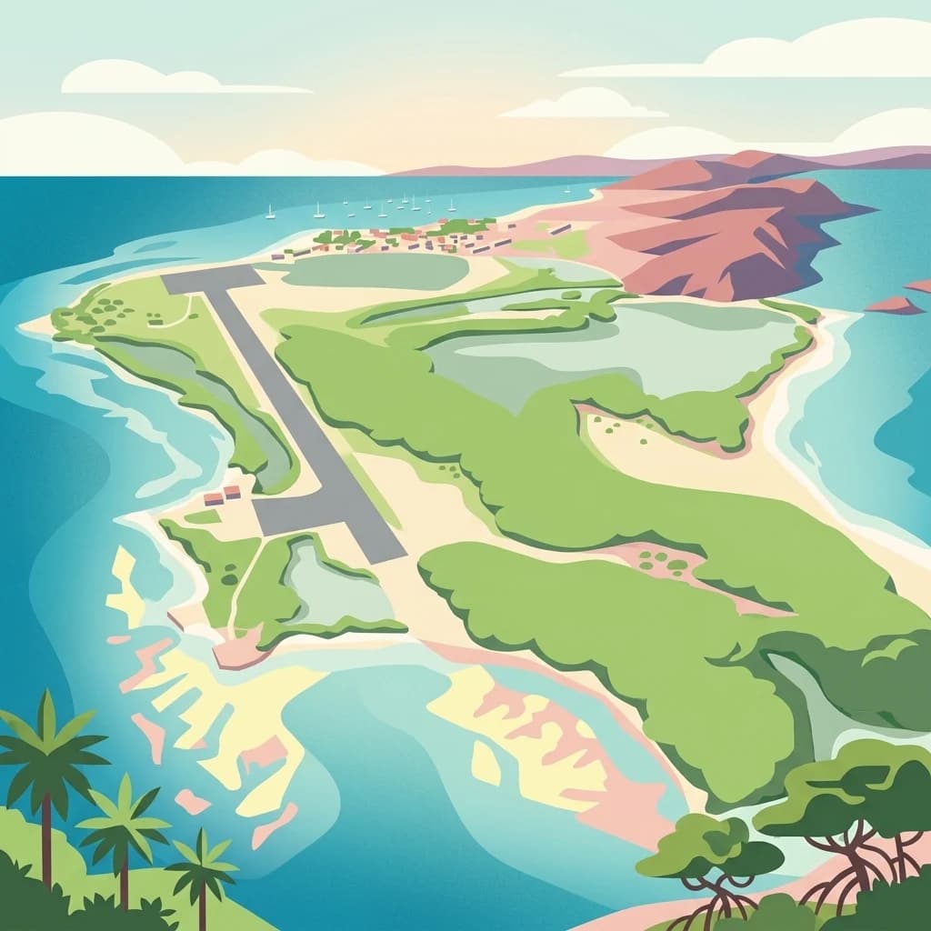
Colorful stylized illustration showing an aerial view of a tropical island with a long airstrip, green vegetation, sandy beaches, and surrounding blue water with coral reefs.

Caribbean marine archipelago with pristine coral reefs and islands

Archipiélago Los Roques National Park

Archipiélago Los Roques National Park is a protected marine area located in the Caribbean Sea off the coast of Venezuela. The park encompasses a vast archipelago of islands, keys, and coral reefs that represent one of the most important marine ecosystems in the southern Caribbean. The protected area was established to preserve the unique combination of terrestrial and marine environments found in this remote Caribbean archipelago, including its extensive coral formations, sea grass beds, and the diverse species that depend on these habitats. The park stands out as one of Venezuela's premier marine protected areas and a significant site for Caribbean biodiversity conservation.

Location
Venezuela
Park type
National park
Established
1972
Area
2,112 km²
Highest point
130 m
Archipiélago Los Roques National Park Protected Area

Review Archipiélago Los Roques National Park dates, magnitudes, depths, and distances

Search earthquake records associated with Archipiélago Los Roques National Park

The records connected to Archipiélago Los Roques National Park are identified from epicentres and distance to the park, not categorized as events within its boundaries. Dates, magnitudes, depths, named locations, park-distance figures, and source access make the historical catalogue traceable while avoiding unsupported statements about marine impacts or risk.

Sort by
Magnitude
Location

This page describes catalogued earthquakes associated with the park by epicentre location and distance. It does not establish causation, assess current danger, or predict future earthquakes.

No earthquake records match the current filters

Park atlas

Expand discovery beyond the Archipiélago Los Roques National Park earthquake catalogue

Find more parks after Archipiélago Los Roques National Park

From the records associated with Archipiélago Los Roques National Park, readers can branch into a distinct selection of protected park destinations. The collection is not evidence of shared earthquake activity, Caribbean geography, reef environments, legal protection, nearby locations, seismic risk, or equivalent record pages.
Watercolor painting showing a winding river flowing through a landscape with rolling hills in the background
National parkVenezuela
118 km away#1 closest

South

El Ávila National Park: Venezuela's Premier Coastal Mountain National Park Exploration

Discover diverse terrain, mapped boundaries, and unique geographic context.

El Ávila National Park offers an exceptional gateway into Venezuela's mountainous protected landscapes. This national park features a dramatic rise from the Caribbean coast into varied terrain, including unique cloud forest and alpine zones. Its mapped geography showcases steep slopes, deep ravines, and remarkable elevation changes, providing a significant atlas-style study of coastal mountain environments. Exploring El Ávila National Park reveals a vital natural barrier and a rich ecosystem supporting diverse flora and fauna, making it a key destination for understanding regional protected areas.

Area
819 km²
Established
1958
IUCN
II
Relief
Mountain
A graphic illustration depicting a valley with a winding river and waterfalls between mountain cliffs, viewed from within a forest.
National parkVenezuela
136 km away#2 closest

South

Macarao National Park: Venezuela's National Park with Mapped Boundaries and Regional Atlas Context

Explore its protected landscape and geographic setting within South America.

Delve into Macarao National Park, a significant national park situated in Venezuela. This page offers an atlas-centric view of the park, detailing its mapped boundaries and highlighting its importance within the regional geography of northern South America. Understand how Macarao National Park contributes to the country's network of protected landscapes and provides foundational geographic context for explorers and researchers.

Area
150 km²
Established
1973
IUCN
II
Relief
Mountain
Natural monumentMiranda
About 137 km away#3 closest

South

Monumento natural Cueva Alfredo Jahn: Exploring Protected Limestone Caves in Miranda

Geology, karst topography, and cave system mapping

Monumento natural Cueva Alfredo Jahn serves as a primary geological research site and protected natural area in the Serranía Litoral. The cave system, shaped by perennial waterways, features significant calcite formations and mineral rarity. Examine the mapped extent, elevations, and landscape context of this central Venezuelan cave complex.

Area
0.58 km²
Established
1978
IUCN
III
Visitors
3.5K annual
Watercolor painting depicting mountains, a lake, and green vegetation
National parkVenezuela
138 km away#4 closest

Southwest

Henri Pittier National Park

Explore protected landscapes, cloud forests, and birdwatching geography.

Henri Pittier National Park, in Venezuela. Landscapes: mountains, valleys, and forests.

Area
1,078 km²
Established
1937
IUCN
II
Relief
Mountain
Natural monumentAragua
About 147 km away#5 closest

South

Monumento Natural Pico Codazzi: Karst Landscapes and Mountain Corridors in Aragua

Exploring protected summit terrain and regional mountain connectivity

Spanning over 11,850 hectares, Monumento Natural Pico Codazzi preserves a complex mountain landscape defined by limestone massifs, vertical cliffs, and subterranean cave systems. Located in Aragua, this protected area functions as a biological bridge between major national parks, safeguarding a critical environment for migratory bird transit and high-altitude cloud forest stability across the Coastal Range.

Area
118.5 km²
Established
1991
Relief
Mountain
Climate
Tropical
A horizontal watercolor painting depicting a desert landscape with cacti in the foreground, a path winding through the terrain, and rolling mountains in the background, all rendered in soft, muted green, yellow, and pink hues.
National parkBonaire
147 km away#6 closest

West

Washington-Slagbaai National Park: Mapping the Protected Terrain of Northern Bonaire

Saline wetlands, volcanic peaks, and coastal ecology

Washington-Slagbaai National Park represents a cornerstone of Bonaire's conservation identity. The protected area features a striking blend of salt-tolerant mangrove systems, expansive salinas, and the rising slopes of Brandaris. This geographic overview highlights the physical characteristics and ecological distribution within one of the oldest national parks in the Dutch Caribbean, mapping the convergence of arid scrubland and marine environments.

Area
56.43 km²
Established
1969
Relief
Upland
Water
Major water bodies
A flat vector-style illustration of a tropical coastline with palm-like plants in the foreground, calm blue water in the middle ground, and a distant mesa-like landmass under a sunset sky.
National parkVenezuela
156 km away#7 closest

Southwest

Morrocoy National Park

Explore the mapped protected landscape and regional context.

Morrocoy National Park, in Venezuela. Landscapes: wetlands, forests, and islands.

Area
320.9 km²
Established
1974
IUCN
II
Relief
Mixed relief
Watercolor painting of a lagoon surrounded by green vegetation and mountains in the background
National parkMiranda State
163 km away#8 closest

Southeast

Laguna de Tacarigua National Park: Protected Area and Miranda State Geography

Mapped natural landscape and park boundaries in Venezuela.

Laguna de Tacarigua National Park is a designated national park offering critical protected landscape features within Miranda State. This park provides essential context for understanding Venezuela's protected areas, with a focus on its mapped boundaries and regional geographic setting. Dive into the atlas-style details to comprehend its place in the natural landscape.

Area
391 km²
Established
1974
IUCN
II
Relief
Lowland
MoriAtlas Explorer

Continue Exploring Archipiélago Los Roques National Park's Geographic and Marine Atlas Context

Investigate the full geographic scope and protected landscape characteristics of Archipiélago Los Roques National Park. Understanding its mapped boundaries and marine ecosystem context provides deeper insight into Venezuela's vital conservation efforts and the unique natural geography of the southern Caribbean.