Mori Atlas logo
Park earthquake history

Examine documented epicentre records, event magnitudes, and depths near this protected area.

Historical Catalogue of Recorded Earthquakes Associated with Barool National Park

This archival collection provides a structured overview of documented seismic activity detected in the vicinity of Barool National Park in northern New South Wales. The dataset lists historical earthquake records associated with the area by epicentre distance, providing technical details such as magnitude, focal depth, and occurrence dates for those interested in the regional seismic history of the Northern Tablelands.

Related tags

National ParkEucalyptus ForestNew South WalesNorthern TablelandsBirdwatching

Eucalyptus-covered highlands protecting NSW biodiversity

Barool National Park

Barool National Park is a protected area in northern New South Wales, Australia, situated approximately 479 kilometers north of Sydney. The park occupies a forested landscape characterized by tall eucalyptus forests that dominate the ridges and valleys of the region. Established in 1999 under the management of the National Parks and Wildlife Service of New South Wales, the park spans roughly 112 square kilometers and lies north of the Mann River, forming part of a larger network of protected areas in the state's north-eastern highlands. The park provides habitat for a diversity of native Australian wildlife, with particular significance for birdlife, as twenty-nine bird species have been recorded within its boundaries. The protected area contributes to regional biodiversity conservation by preserving relatively intact forest ecosystems in a landscape that has otherwise experienced significant clearing for agriculture and pastoral use.

Location
Australia
Park type
National park
Established
1999
Area
112.4 km²
Barool National Park Protected Area

Inspect Barool National Park dates, magnitudes, depths, locations, and park distances

Review the historical earthquake catalogue around Barool National Park

Barool National Park’s results compare earthquake epicentres with distance to its Northern Tablelands hills, eucalyptus woodland, and temperate forest rather than assigning all nearby events to the park. Timing, magnitude, depth, locality, separation, and source form traceable historical evidence without attributing forest effects, current risk, seismic cause, or future activity.

Sort by
Magnitude
Location

This page describes catalogued earthquakes associated with the park by epicentre location and distance. It does not establish causation, assess current danger, or predict future earthquakes.

No earthquake records match the current filters

Park atlas

Move from Barool National Park earthquake records into wider park exploration

Find additional protected parks beyond Barool National Park

After the Barool National Park earthquake catalogue, an independent set of protected park pages opens new atlas routes. The suggestions are not evidence of common Australian landscapes, forest character, conservation categories, earthquake data, geological relationships, proximity, seismic conditions, or hazards.
National parkNew South Wales
Park boundaries overlap#1 closest

East

Nymboida National Park: A Protected National Park in New South Wales with Mapped Geographic Context

Explore its protected landscape and regional park geography

Nymboida National Park is a key protected area within the state of New South Wales, Australia. This page provides essential details for atlas exploration, focusing on its mapped boundaries and the geographic context it occupies. Understand the park's identity as a national park and its contribution to the protected landscape of the region, offering insights into its natural terrain and regional distribution.

Area
316 km²
Established
1980
IUCN
Ib
Relief
Mountain
National parkNew South Wales
0.1 km away#2 closest

Northeast

Gibraltar Range National Park: New South Wales Protected Landscape Explorer

Mapped park boundaries and regional geography of a key national park.

Delve into the protected landscape identity of Gibraltar Range National Park, a significant national park situated in New South Wales. This page offers detailed insights into its mapped boundaries and its place within the broader regional geography. Understanding Gibraltar Range National Park provides essential context for exploring Australia's network of protected areas and appreciating the diverse natural terrain it safeguards.

Area
253 km²
Established
1987
IUCN
Ib
Relief
Mountain
Nature reserveNew South Wales
About 5.1 km away#3 closest

Southwest

Mann River Nature Reserve: Geography and Protected Forest Terrain in New South Wales

Highland river valleys and Great Dividing Range landscapes

Spanning over 7,000 hectares of rugged highland terrain, Mann River Nature Reserve provides a vital protected habitat within the Northern Tablelands. The landscape is defined by the incision of the Mann River through deep, forested gorges and sharp mountain ridges, creating a distinct physical setting that serves as a sanctuary for native Australian wildlife.

Area
71.28 km²
Established
1985
IUCN
II
Relief
Mountain
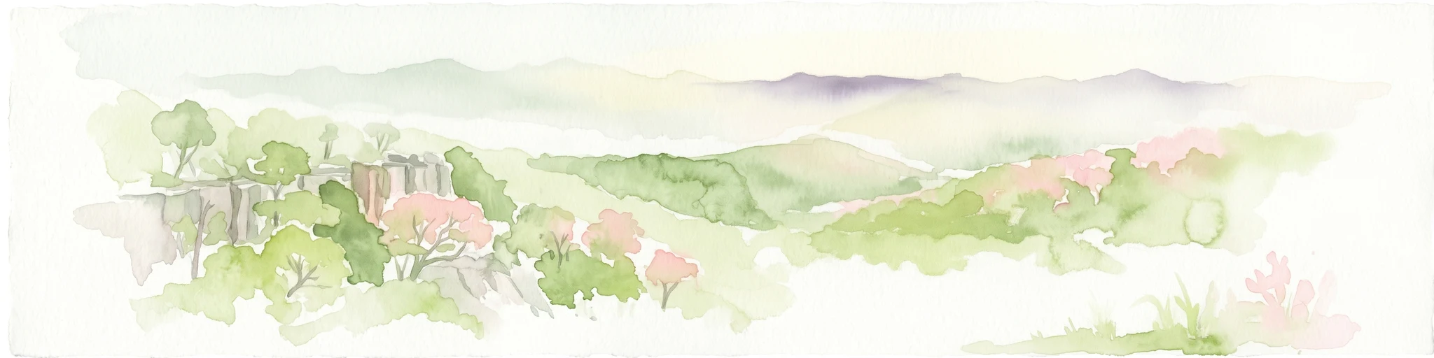
Watercolor illustration of rolling hills, green forests, and pink flowering trees
National parkNew South Wales
5.2 km away#4 closest

South

Guy Fawkes River National Park: National Park Geographic Context and Mapped Boundaries

Explore the protected landscape and regional geography of this New South Wales national park.

Gain a structured understanding of Guy Fawkes River National Park, a key national park in New South Wales, Australia. This entry provides detailed insights into its mapped geographic boundaries, its role as a protected landscape, and its contribution to the broader regional context for atlas exploration. Examine the park's place within the natural terrain of New South Wales for a clearer picture of conservation lands.

Area
1,005.9 km²
Established
1972
IUCN
Ib
Relief
Highland
National parkNew South Wales
9.1 km away#5 closest

North

Washpool National Park National Park: Protected Area Atlas and New South Wales Geography

Explore the mapped boundaries and natural landscape context.

Washpool National Park represents a significant protected area within the geographic landscape of New South Wales. This entry provides a structured exploration of its identity as a national park, focusing on its mapped boundaries, regional distribution, and the natural terrain it encompasses. Understand its role within a broader atlas of protected lands and its unique geographic characteristics.

Area
587 km²
Established
1983
IUCN
II
Relief
Mountain
National parkNew South Wales
12 km away#6 closest

Northwest

Butterleaf National Park: National Park Protected Landscape with Regional Geographic Context

Mapped boundaries and terrain within New South Wales.

Butterleaf National Park represents a distinct national park entity within the geographic landscape of New South Wales. This resource provides a focused atlas view, detailing the park's protected boundaries and its specific contribution to the regional terrain. Users can explore the mapped geography and understand the park's identity as a significant protected natural area, offering foundational data for landscape context and conservation analysis.

Area
30 km²
Established
1999
IUCN
II
Scope
Terrestrial
National parkNew South Wales
25 km away#7 closest

Northwest

Capoompeta National Park National Park: Protected Landscape and Regional Geography

Explore mapped boundaries and natural terrain in New South Wales.

Capoompeta National Park represents a key protected landscape entity within New South Wales, Australia. This detail page provides focused geographic information, emphasizing its status as a national park and its contribution to the regional atlas. Users can investigate the park's mapped terrain, understand its protected land characteristics, and grasp its geographical setting within the Australian context.

Area
39 km²
Established
1999
IUCN
II
Relief
Mountain
National parkNorthern Tablelands
28 km away#8 closest

Southeast

Chaelundi National Park: Landmark Old-Growth Forest Protection in the Northern Tablelands

Mapped protected area landscape and regional geography.

Chaelundi National Park stands as a vital component of protected natural landscapes on Australia's Northern Tablelands. This national park is celebrated for its extensive old-growth forest, a direct result of significant environmental legal battles that highlighted its ecological importance. With declared wilderness areas covering thousands of hectares, the park offers a substantial glimpse into the region's conservation values and the complex interplay between landscape, law, and protected land status, providing rich context for geographic exploration.

Area
191.74 km²
Established
1997
IUCN
II
Relief
Highland
MoriAtlas Explorer

Continue Exploring Barool National Park's Geographic Identity

Deepen your understanding of Barool National Park by examining its precise geographic context and protected landscape features. This dedicated entry offers a foundation for comparative atlas exploration and detailed geographic analysis of Australia's diverse natural areas, providing key facts about its protected status and mapped terrain.

Global natural geography